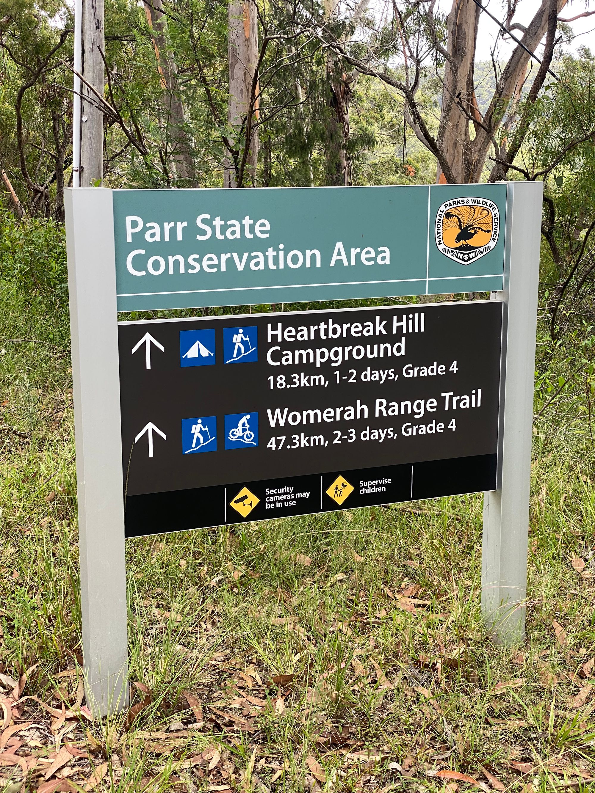
Womerah Range Trail
A long hike along the Womerah Range to Heartbreak Hill Campground

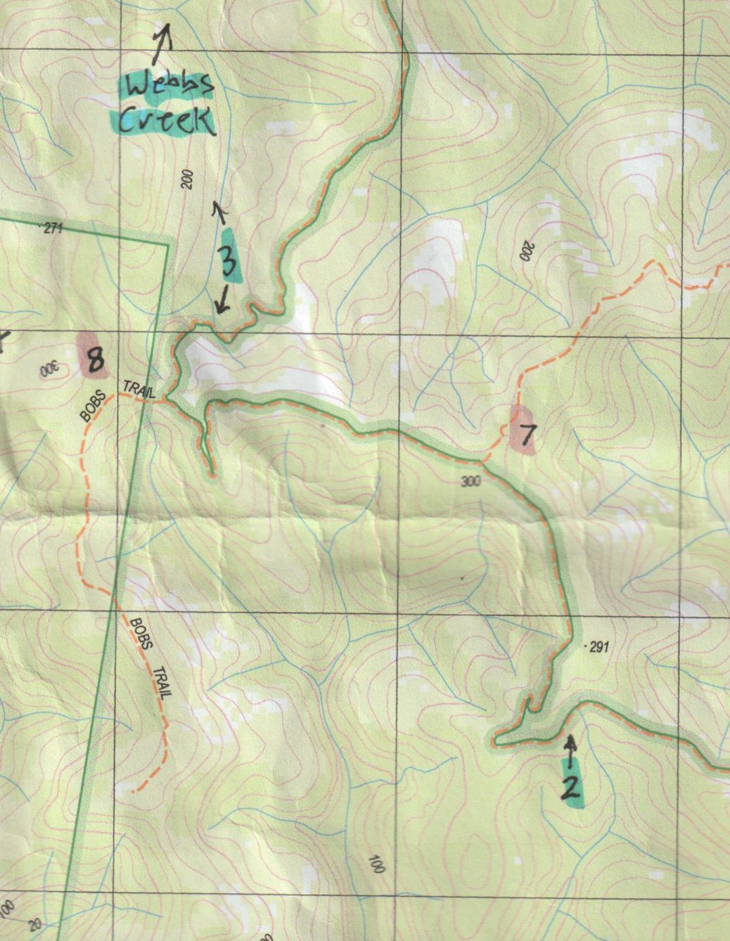
The Womerah Range trail is 47.3km in length. About a 2 to 3-day hike. About halfway is Heartbreak Hill Campground. I decided to do a 2 day walk to the campground and back from Webbs Creek. Knowing very little information about the campgrounds current state, I decided to give this walk a crack.
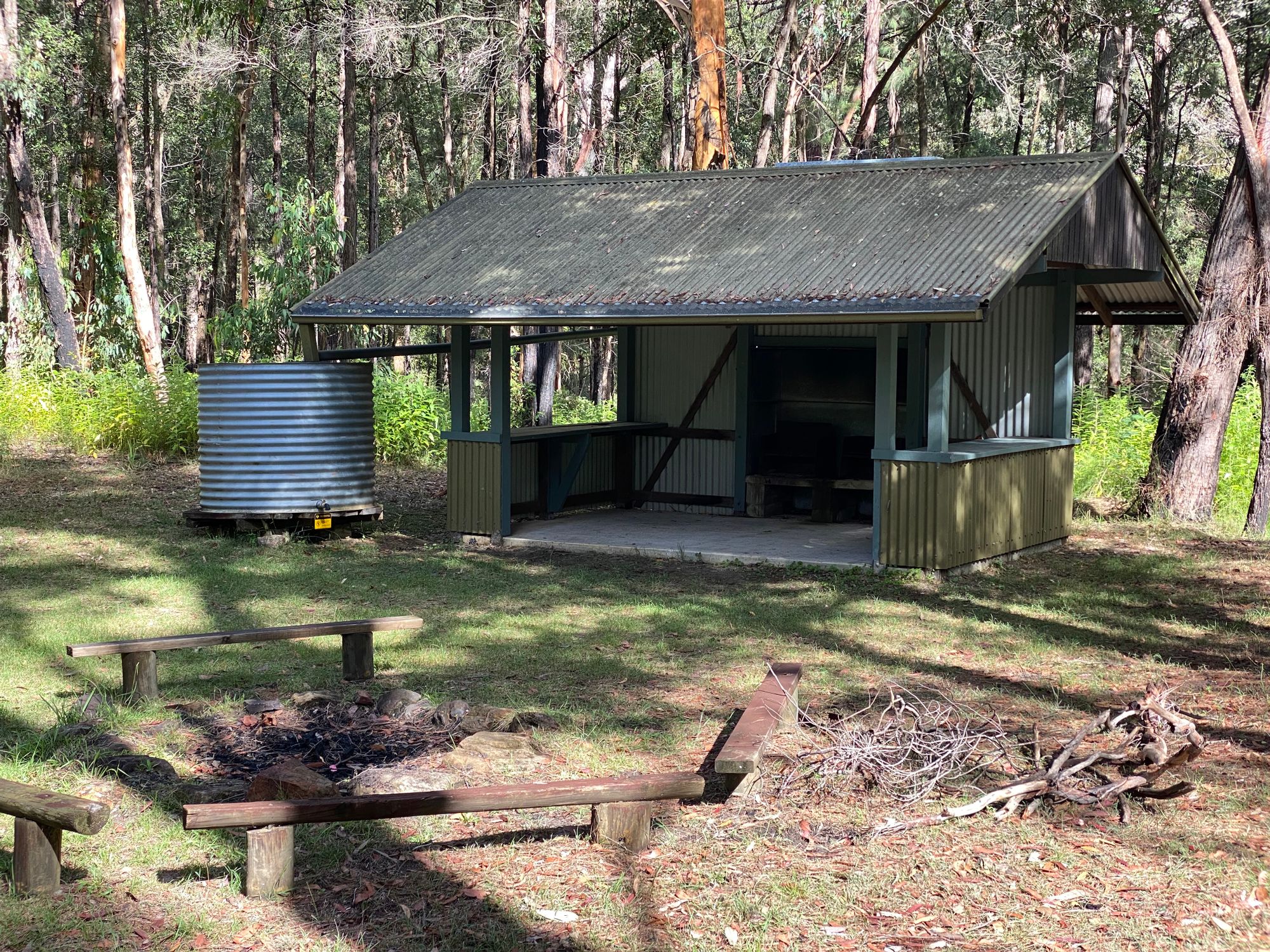
Planning this hike was a little tricky as a massive fire in 2019 swept through this area. Heartbreak Hill Campground has a shelter with a fireplace and a water tank. However, there is very little evidence to confirm it didn't get destroyed in the fires. Walking to just the campground was a 36km round trip. So I had to be careful with my water as I was doing this in the middle of February.
Finding nothing online about the campsite post-2019, I decided to map out a few locations where I think I could find water along the trail. Confident with my map, I set out.
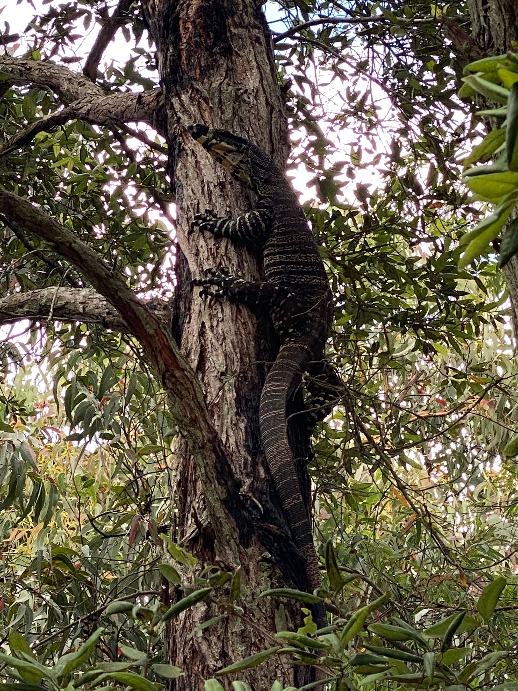
Getting to there start of the trail requires you to cross the river on a car ferry, It's a nice short ride and set the mood for the start of the day. On the trail, Not 100m in I found a huge Lace Monitor. As it sees me it crawls up a tree, as they do.
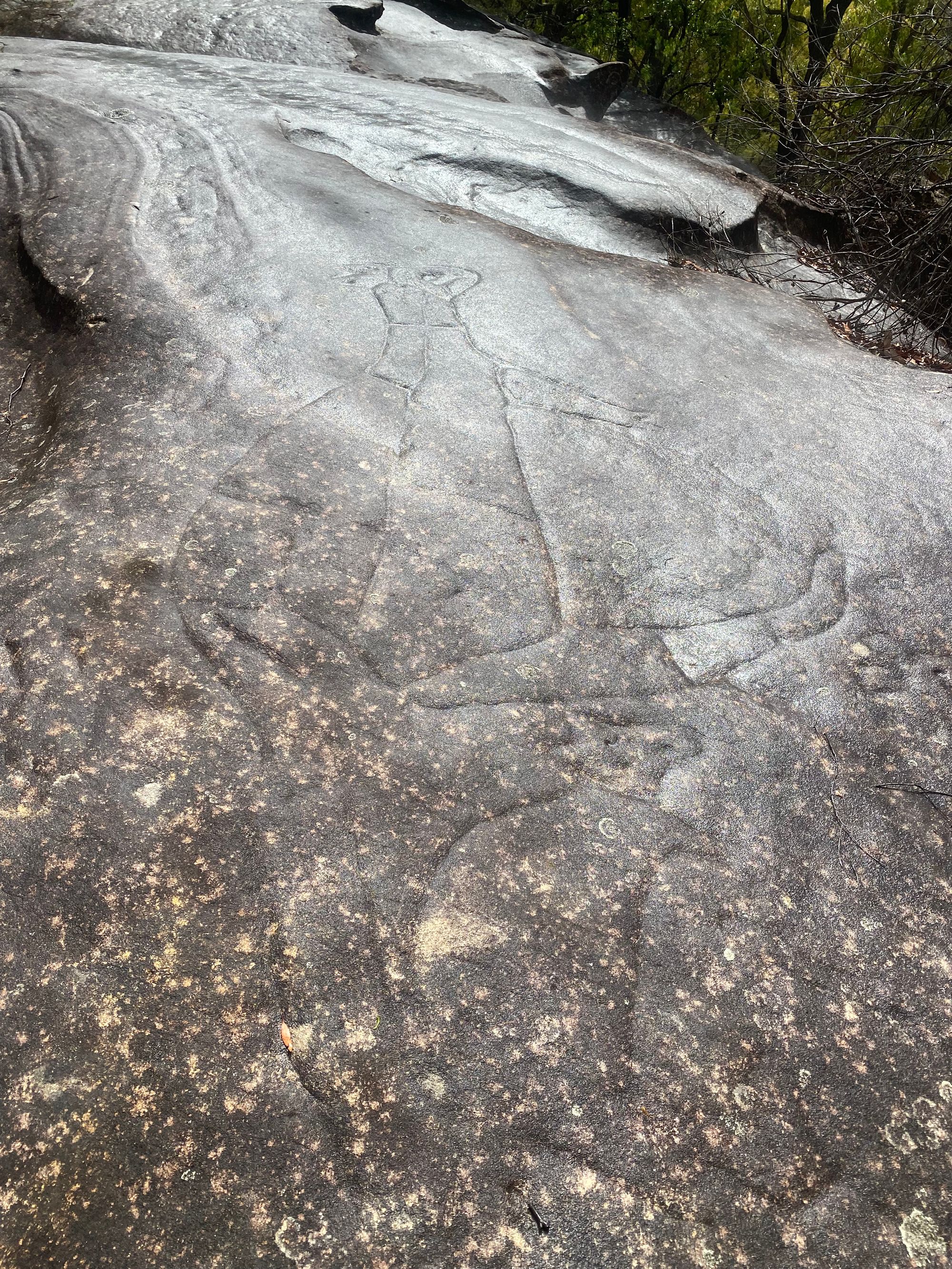
About 30 mins later I find an Aboriginal engraving site. It's a couple of huge kangaroo engravings. It had started to sprinkle and made the engravings pop out. I couldn't find any other engravings around, but I suspect there was more in this small area.
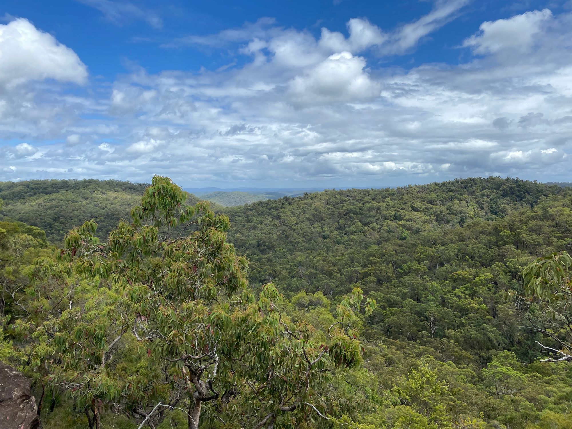
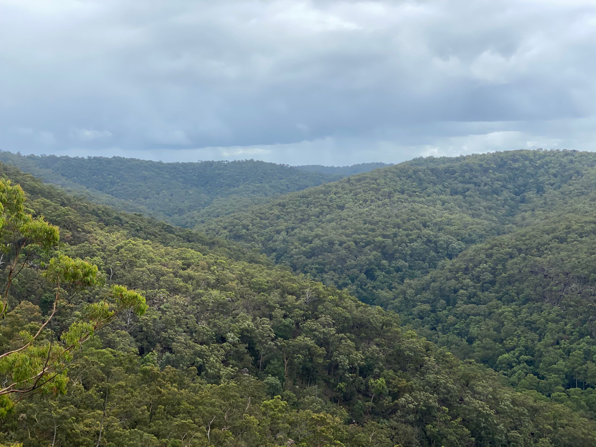
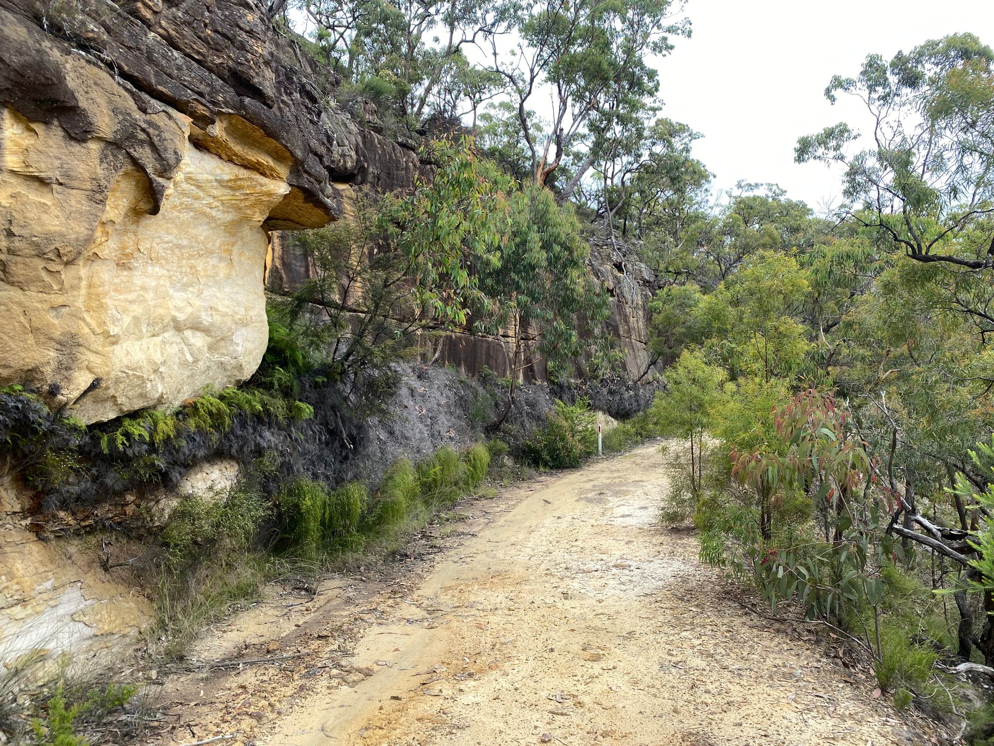
From here the track is pretty easy. Once you get up on the range, you will start to get views on your left and right for a good portion of the walk.
Along the way, I hear a Lyrebird imitating a Currawong, a Bowerbird and then some other birds. I don't get a glimpse of it.
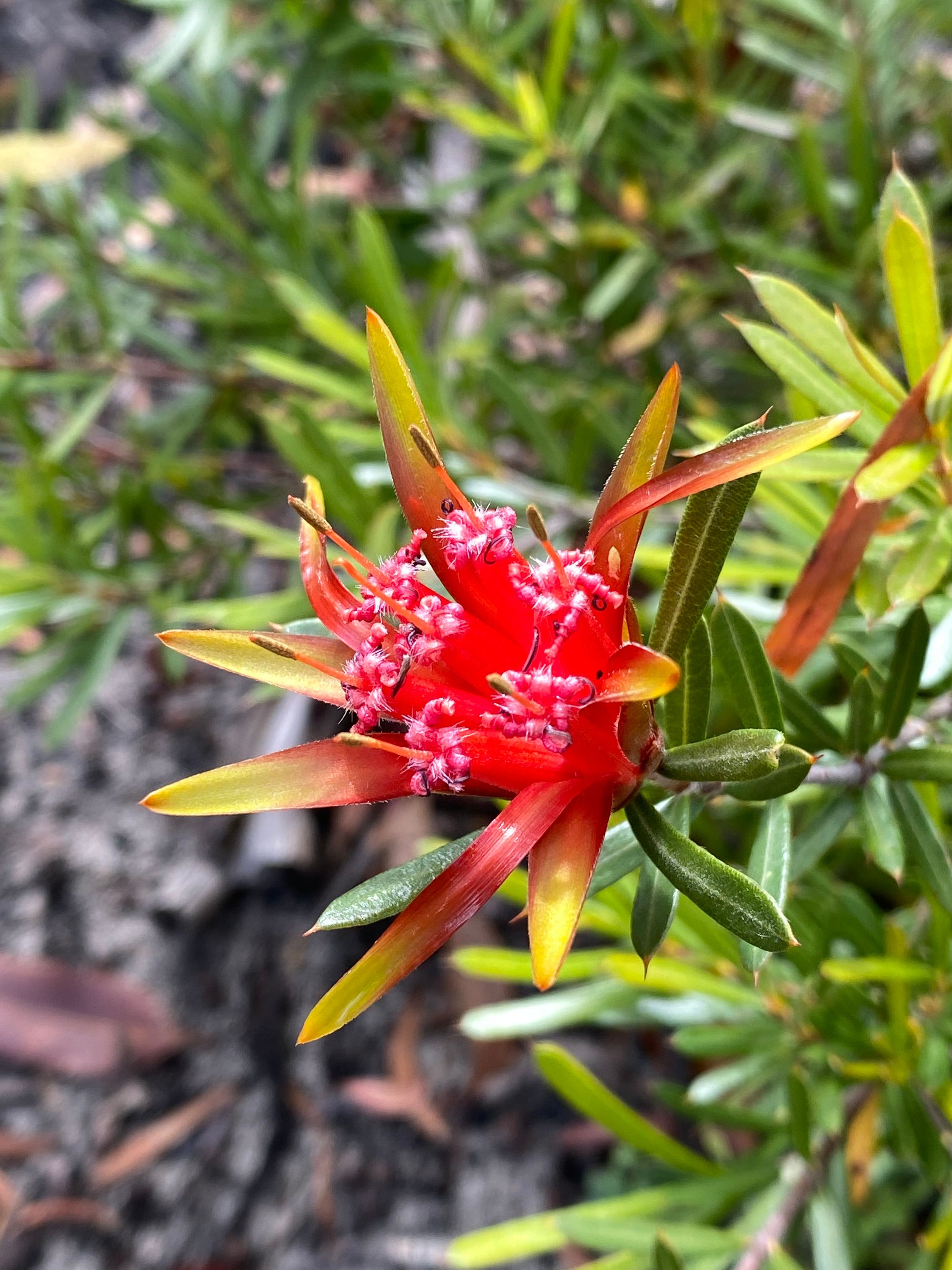
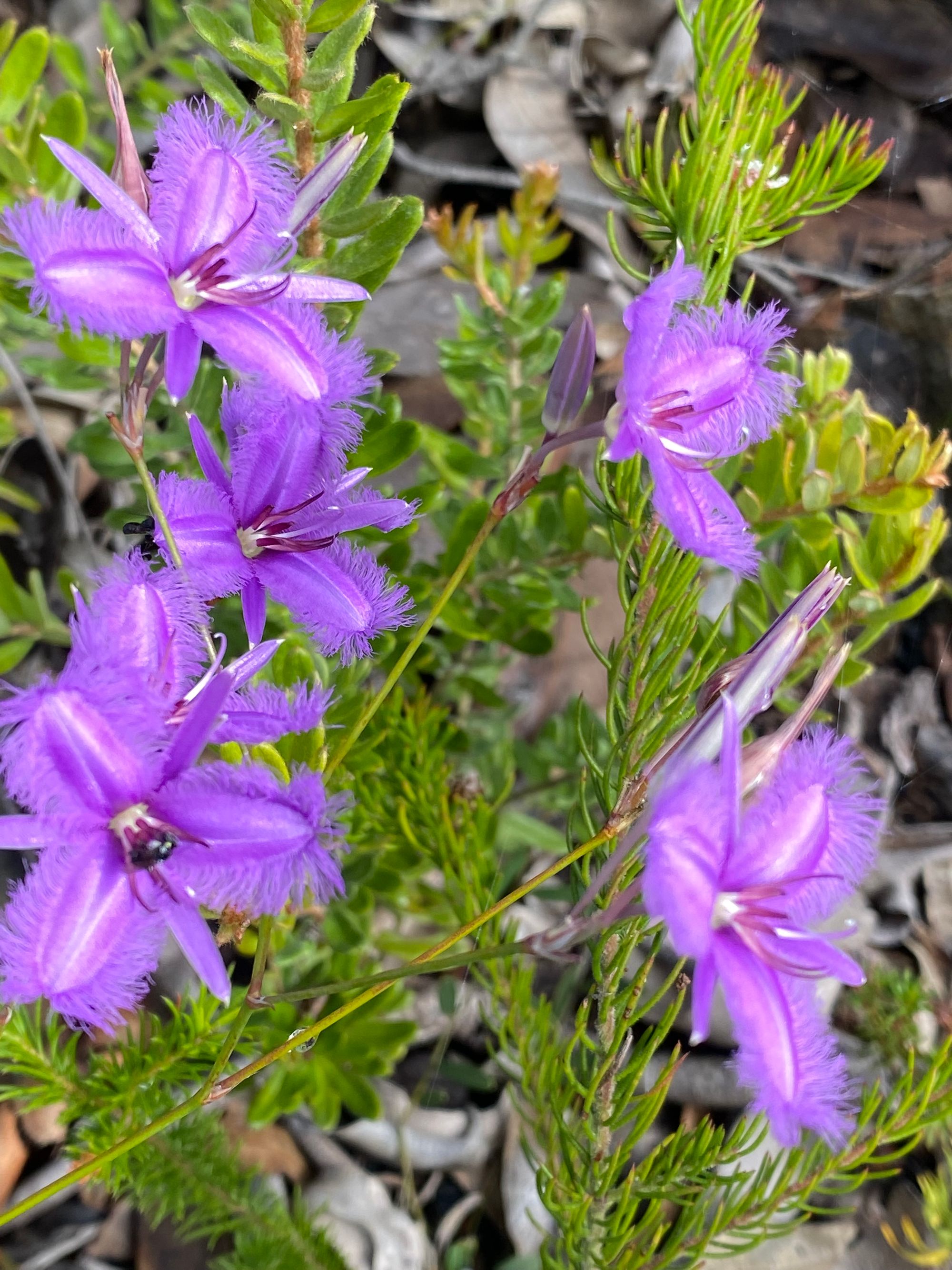
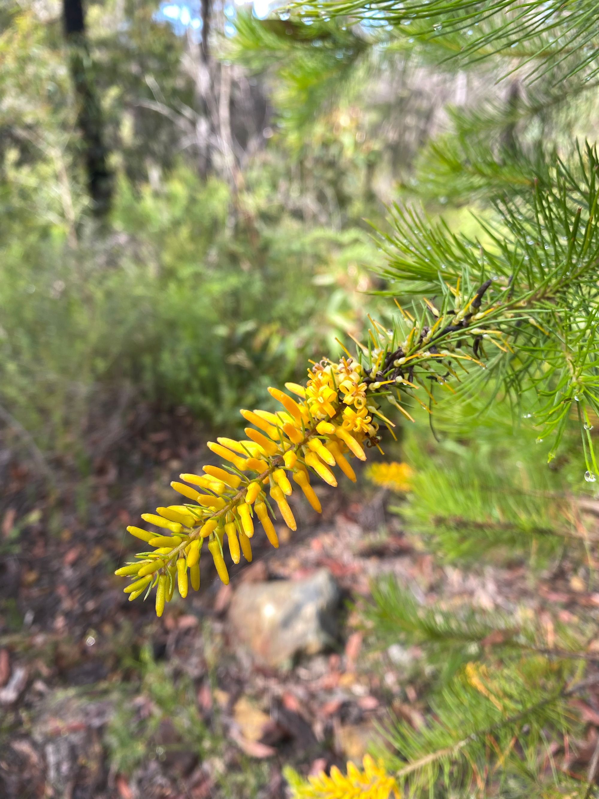
As I go further along the trail it's very obvious this bush was scorched during the 2019 fires. Nothing was unburnt. However, the understory is recovering really well. The ground may be black, but there is an abundance of new growth.
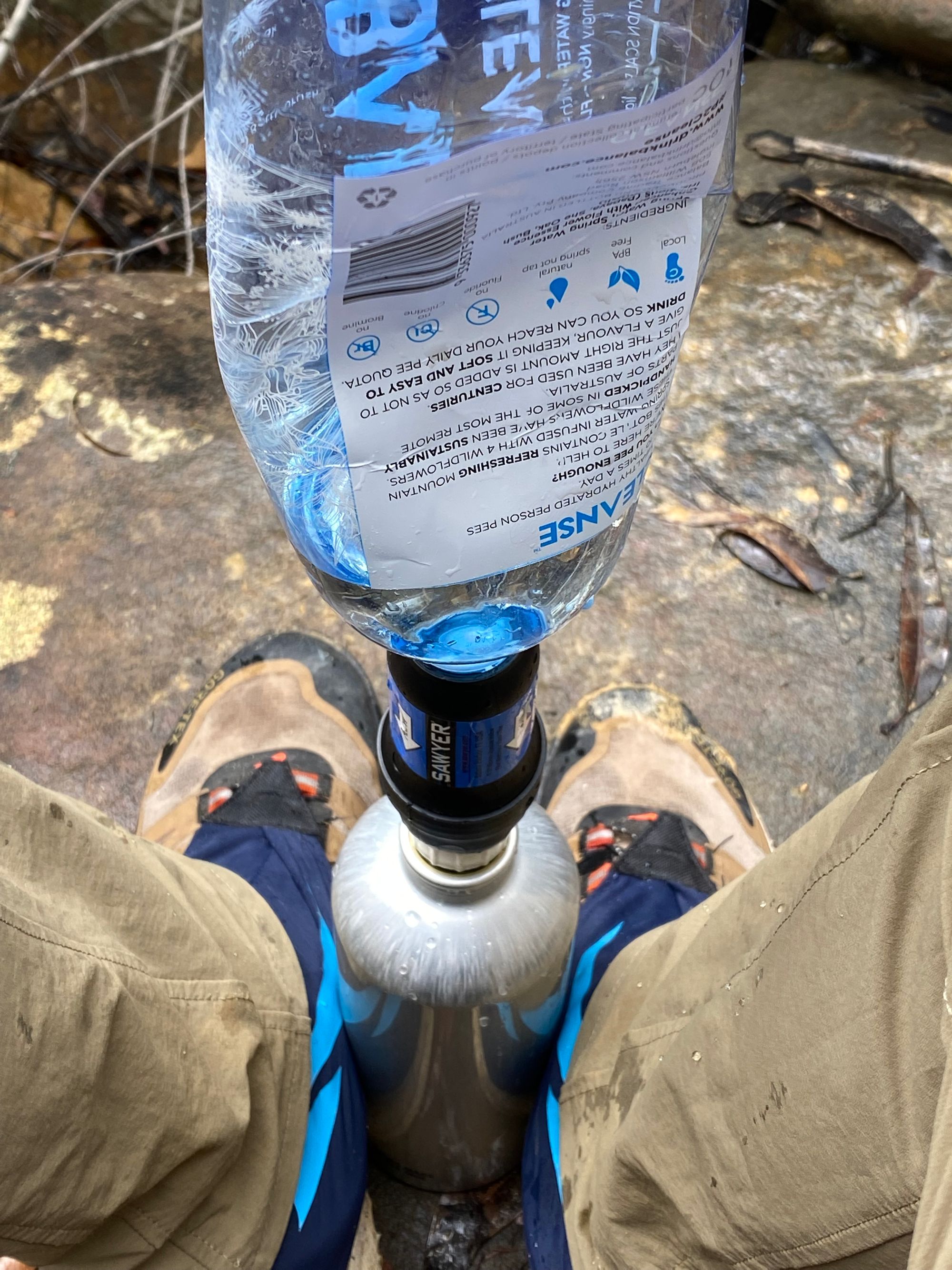
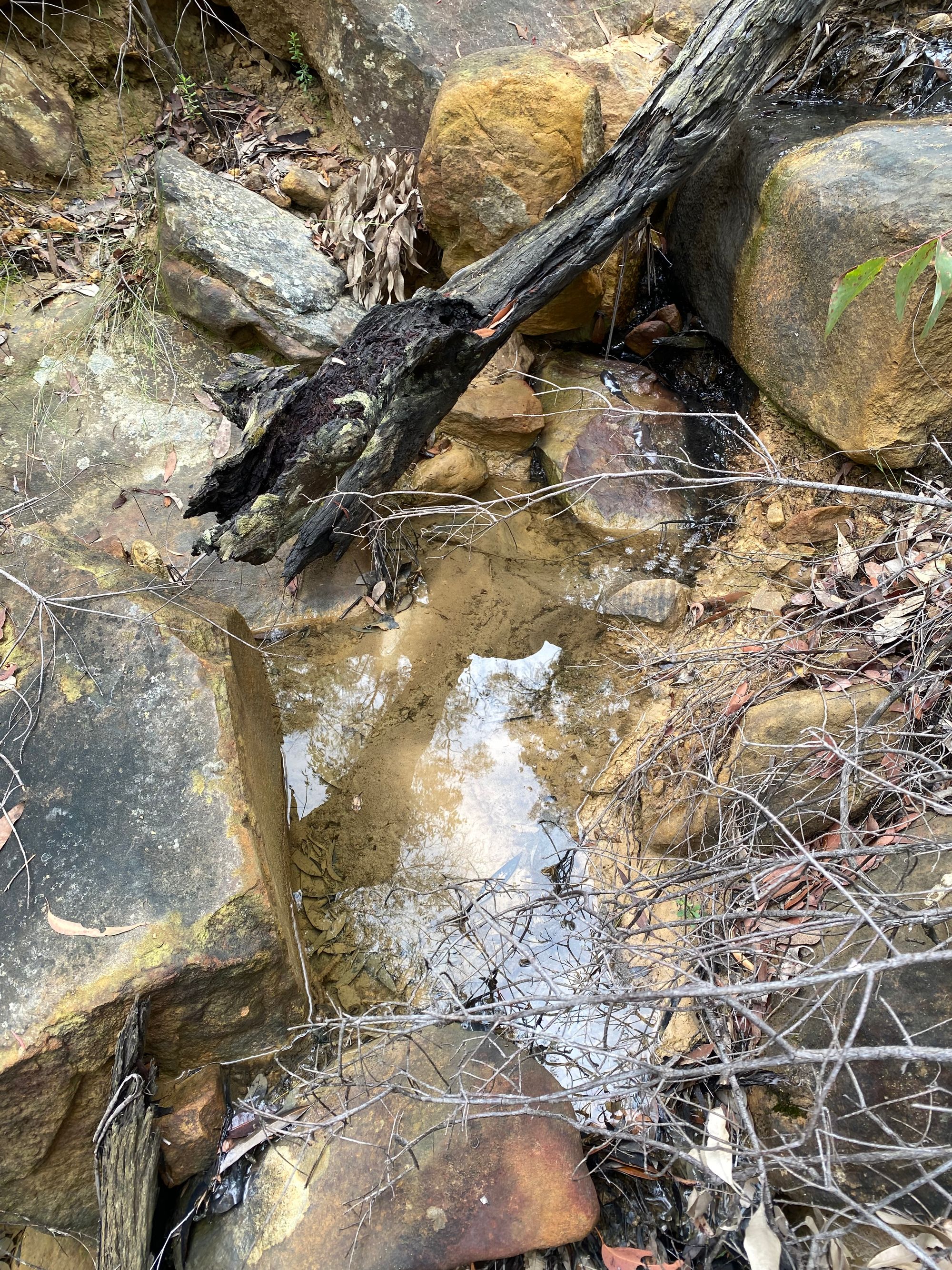
I arrive at my first confident spot on the map (2) where I think I might be able to get some water. Sure enough, there's a creek that crosses the trail but there are no pools of water I can gather water and either side of the track is steep. Bummer. I had also marked some major creeks that I could bush bash too if both these locations failed. I was starting to size up the descent off the range and down to the valley creeks. This was all that was on my mind for the next hour. I was close to my second water location on my map (3). And to my delight, there were small clear pools from the recent rain. I find a decent pool a few meters off the track and filter some water and fill my dirty water bottle as well. I carry two 1 litre bottles and have a 1-litre dirty water bottle.
Just to be clear, the only way I could walk this track in February was because it recently rained and we were in a La Niña season. So it was much cooler than a normal February day. I wouldn't dare walk this during a hot summer or during drought.
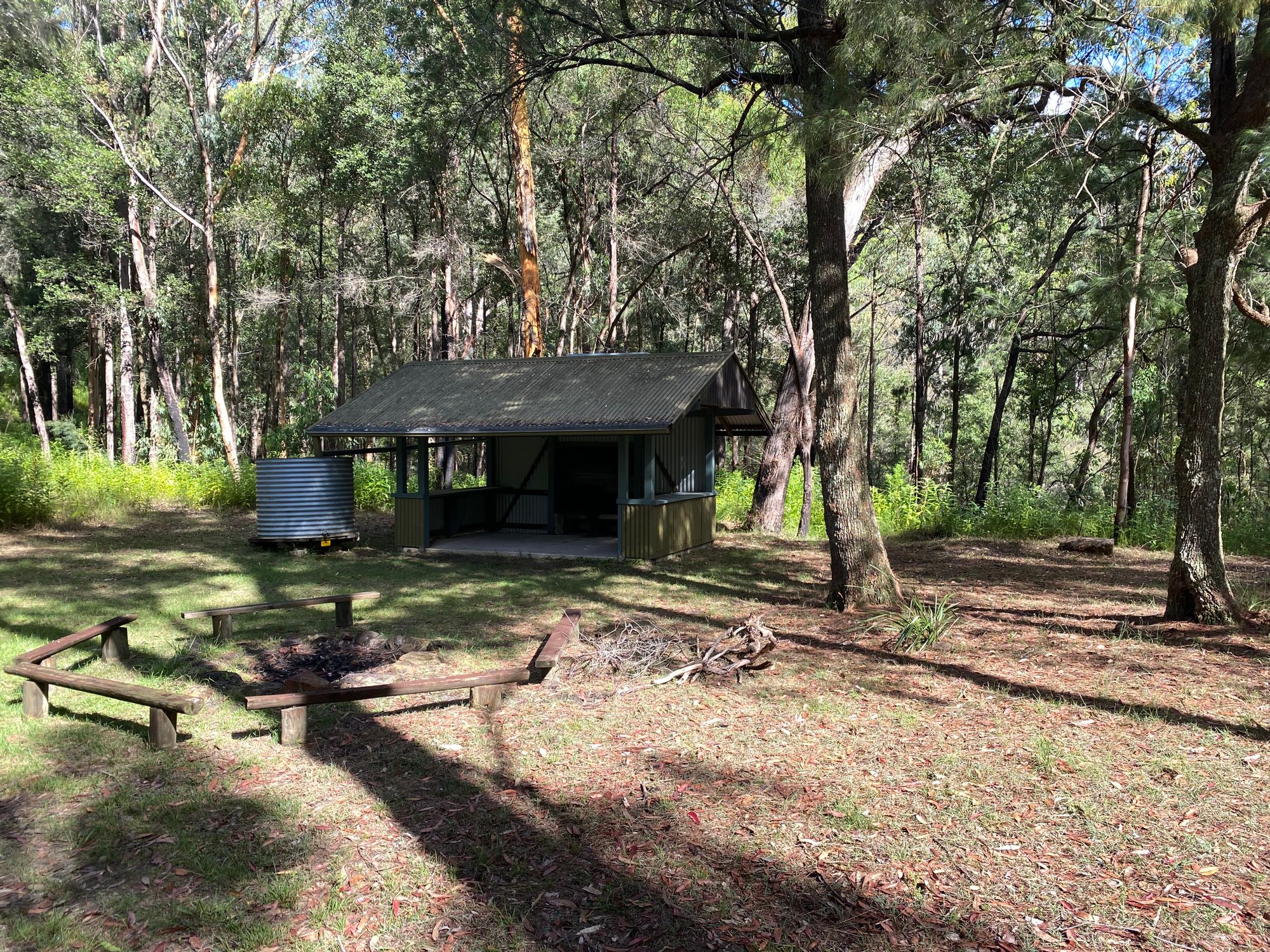
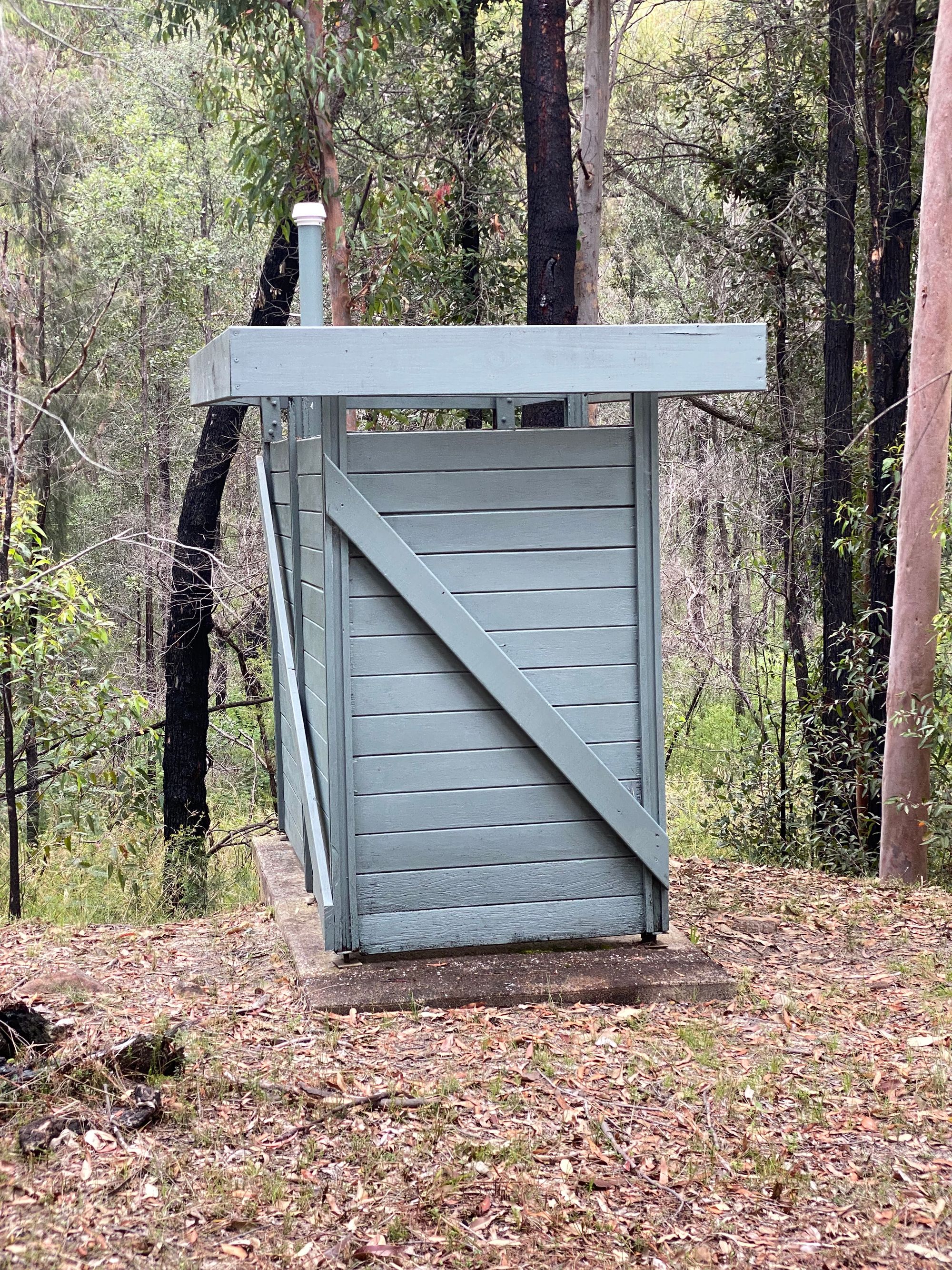
I finally arrived at Heartbreak Hill Campground. I can confirm that in 2022 the shelter and water tank are still up and were not damaged by the 2019 fires. The campground is really nice. There's a small fire circle with seats and two small fire stoves in the fireplace of the shelter. The shelter has ledges that you can cook on. There is also a pit toilet.
That said, the water from the water tank is dirty from the leaves and has mosquito larvae in it. I would filter it and use a purification tablet as a minimum before drinking.
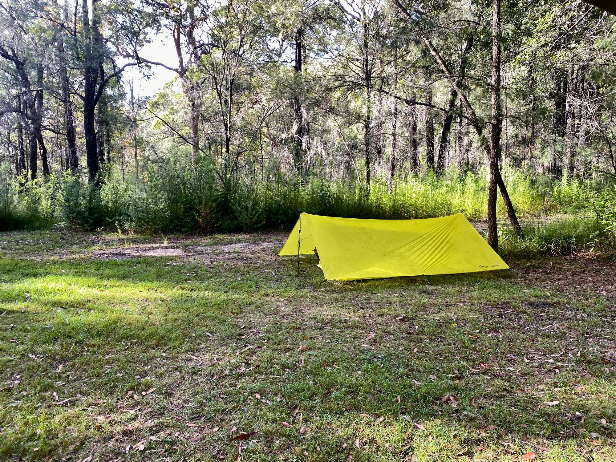
I get absolutely hammered by rain that night and luckily stay dry. Which created an interesting opportunity. On my way back on the trail, I start documenting the various footprints in the wet sand.
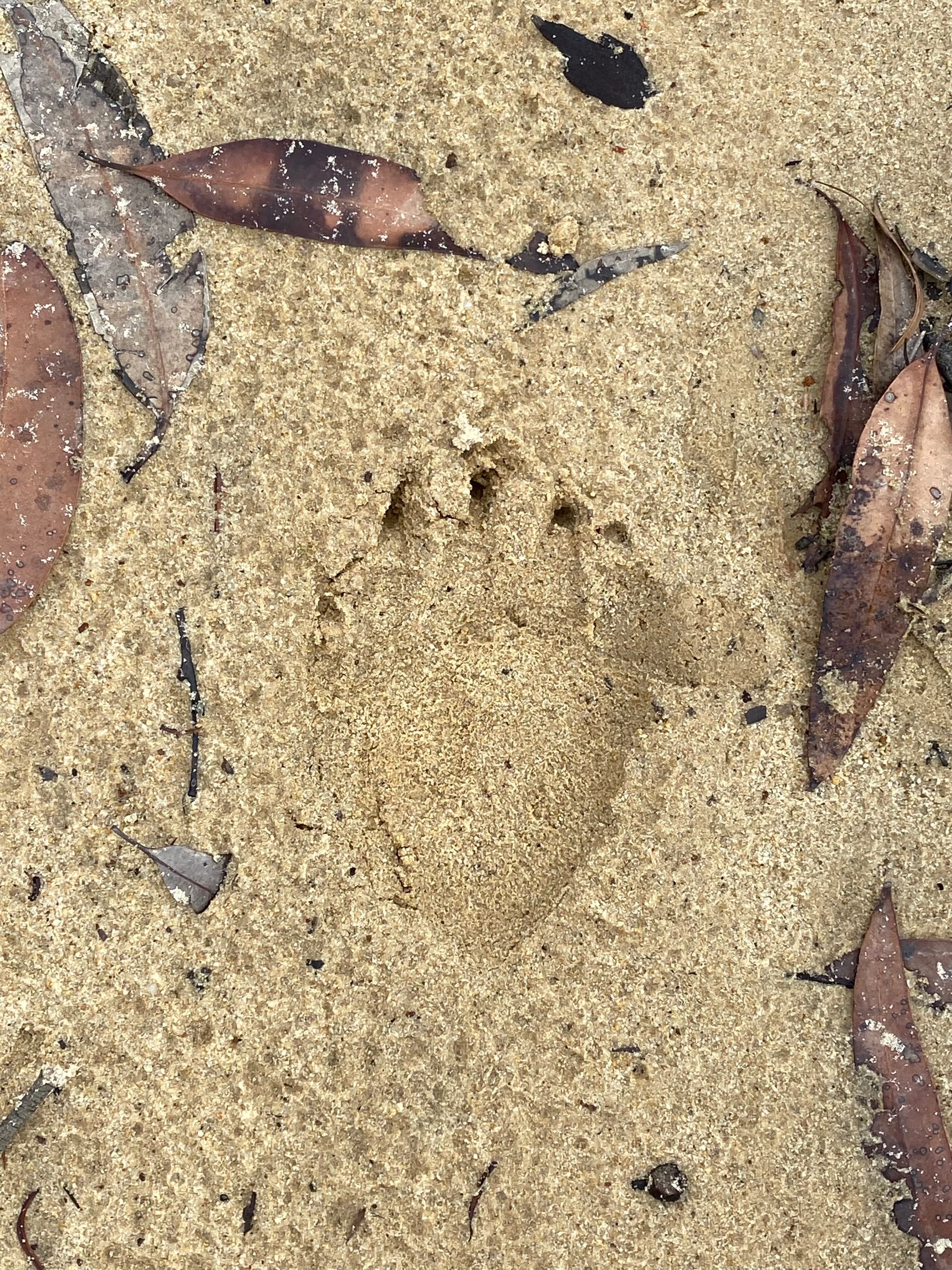
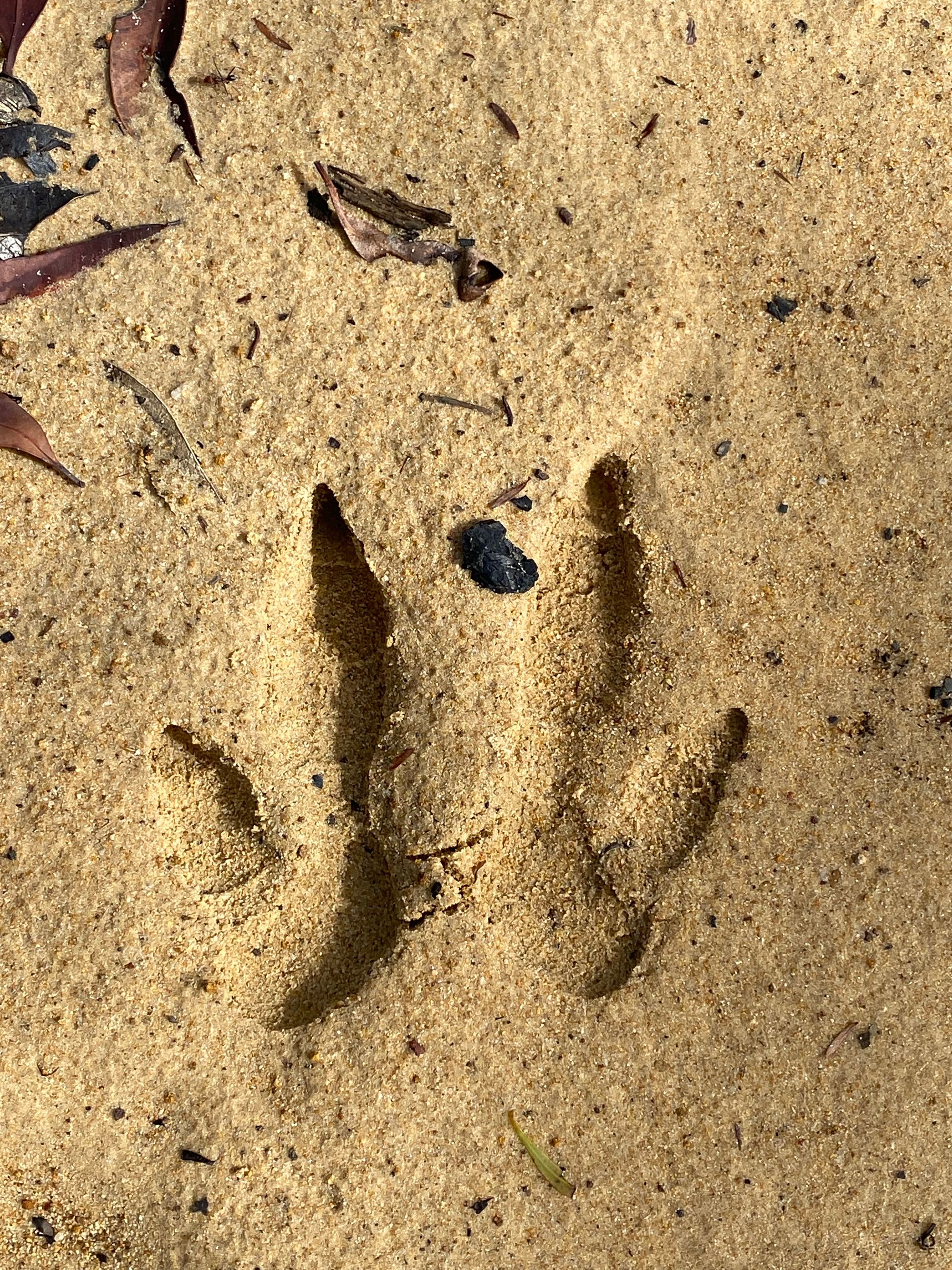
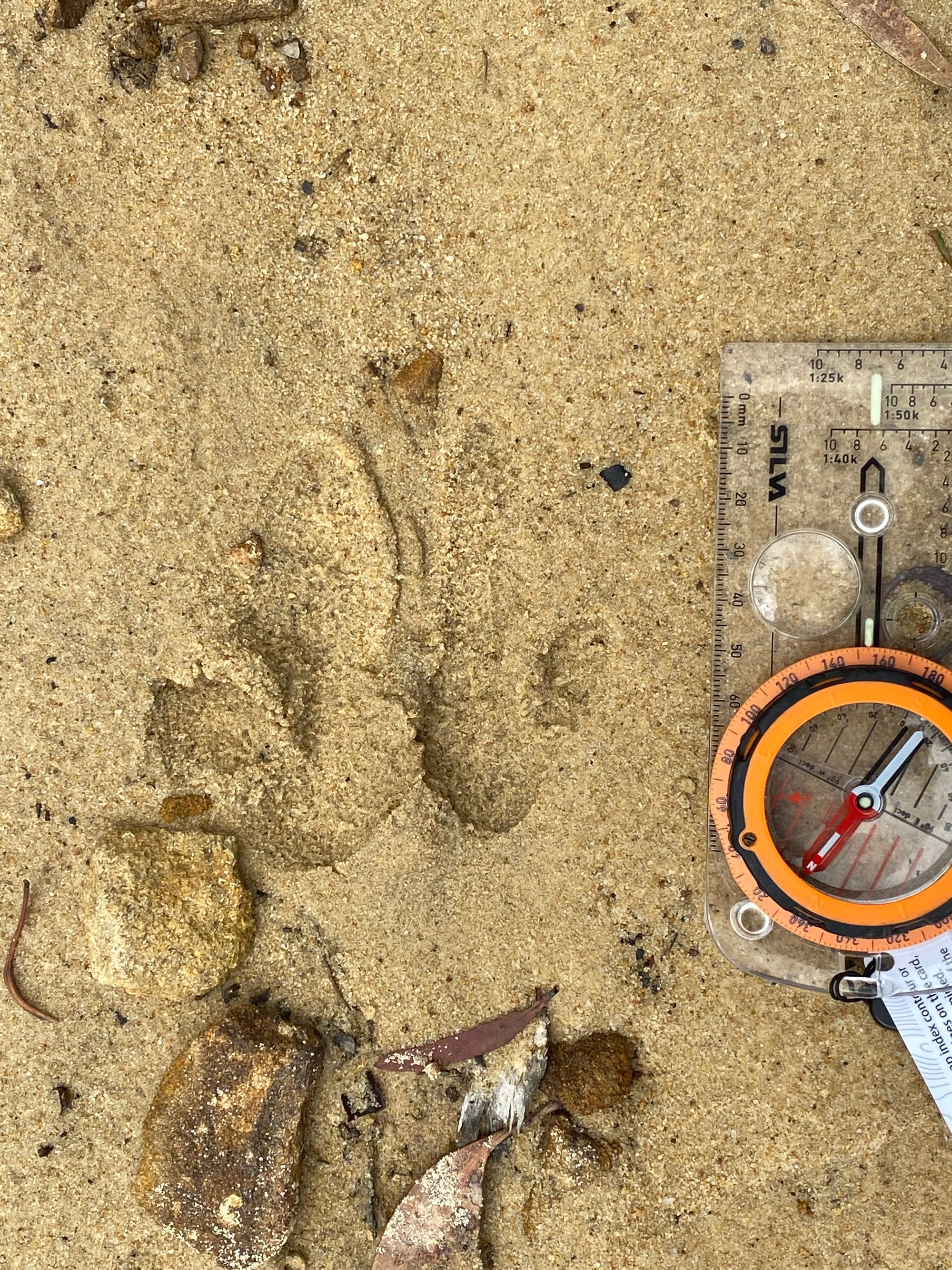
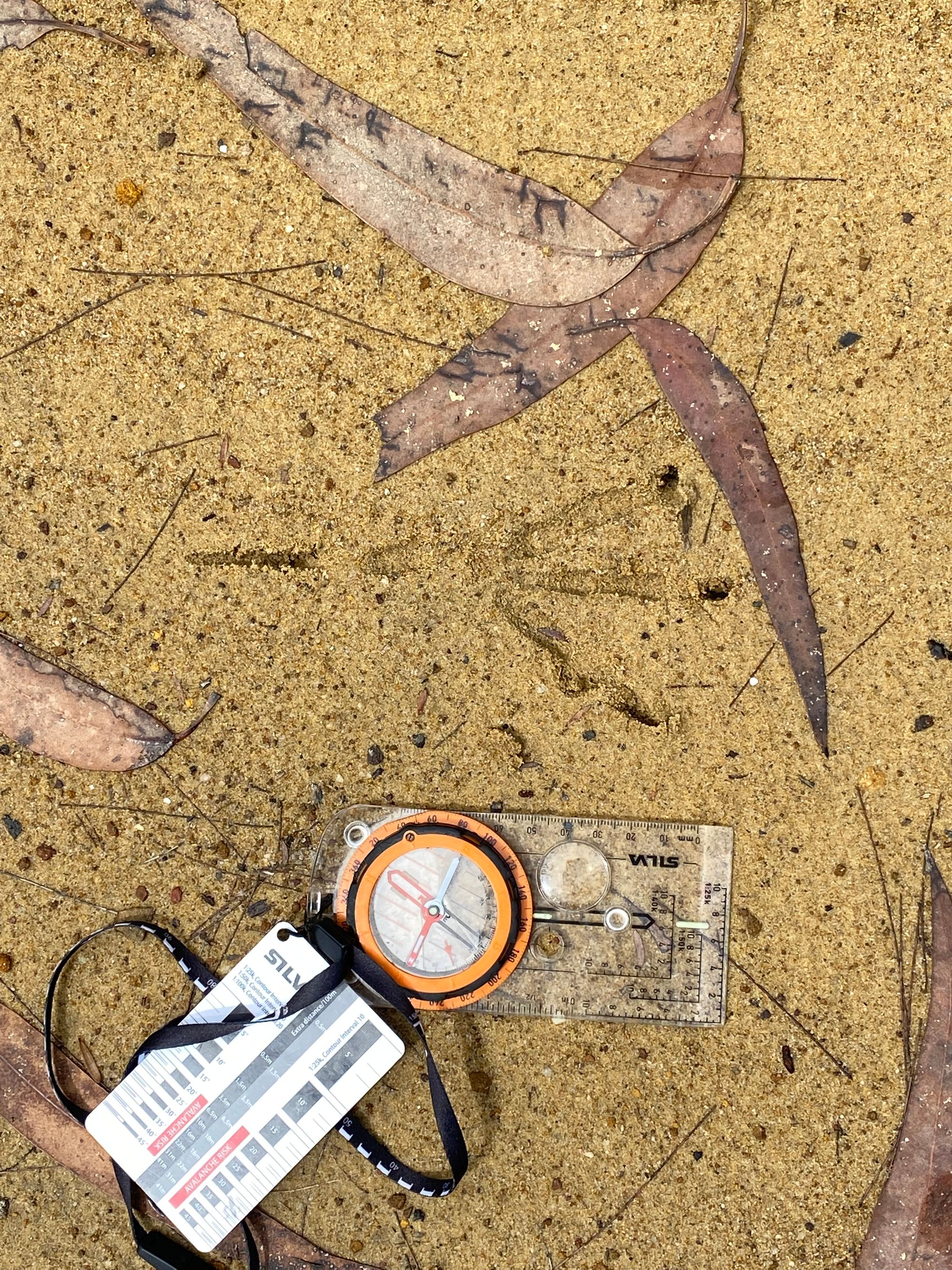
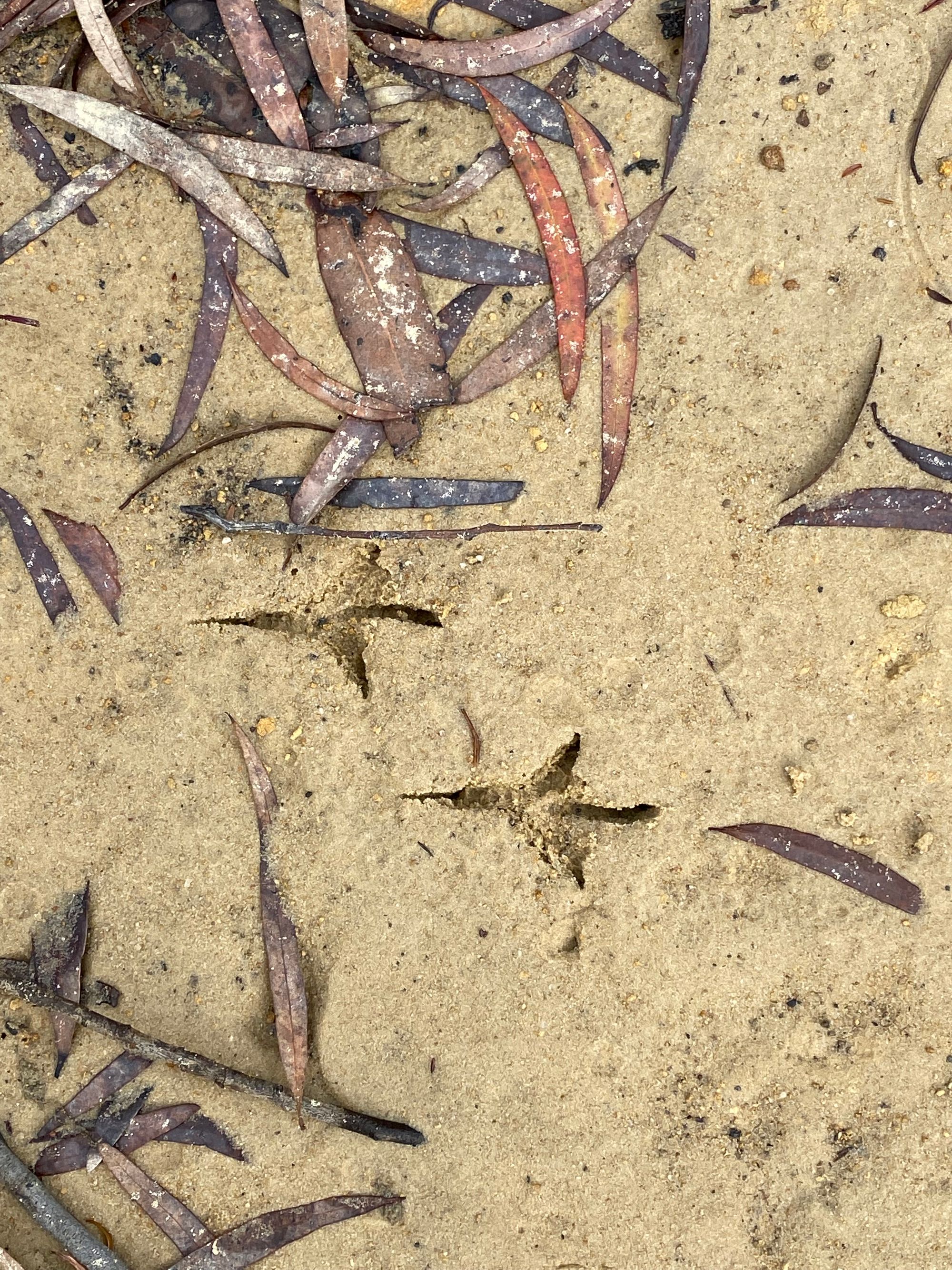
I managed to find footprints for the following animals. In order from the top: Common Wombat, Eastern grey kangaroo, Wallaby, Brush Turkey and a bird.
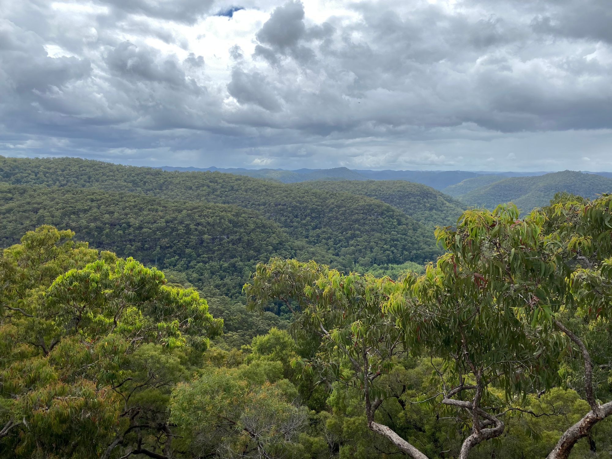
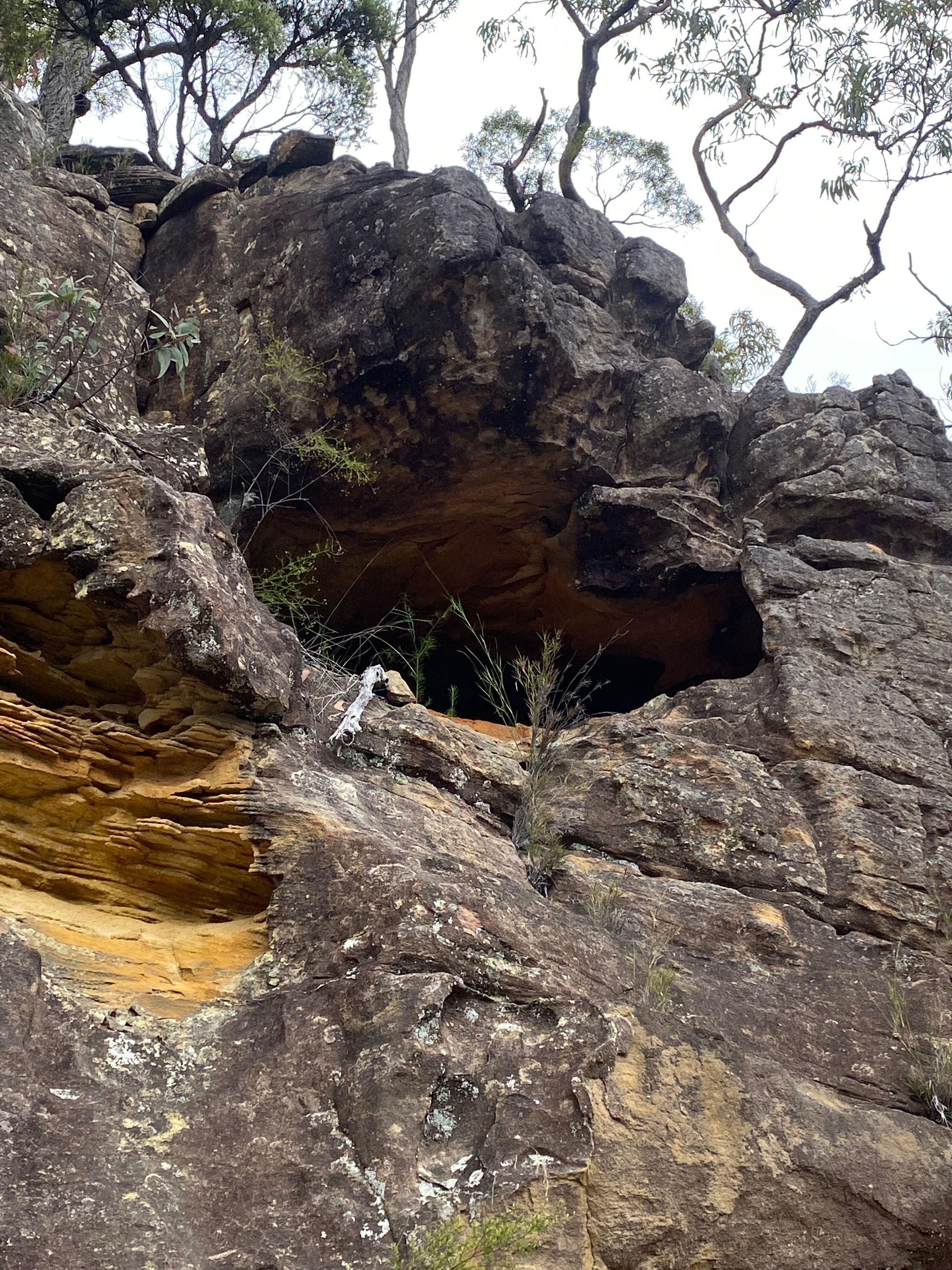
The walk back was pretty uneventful. I did find a lookout that I missed on the way in. It's two lookouts on either side of the trail. After taking a few photos I head back to the car and complete the 36km round trip with some sore feet.