Waratah Walking Track

I had been planning this hike for a while. The track I've walked before. It's a pretty easy trail. However, what I was planning were the various things to visit while walking this track, like trig stations, Aboriginal engravings, and Rocky outcrops. With all the different locations marked on a map, I set out on the walk.
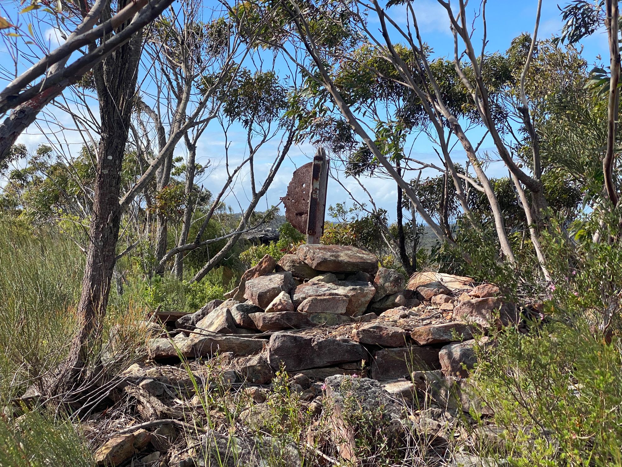
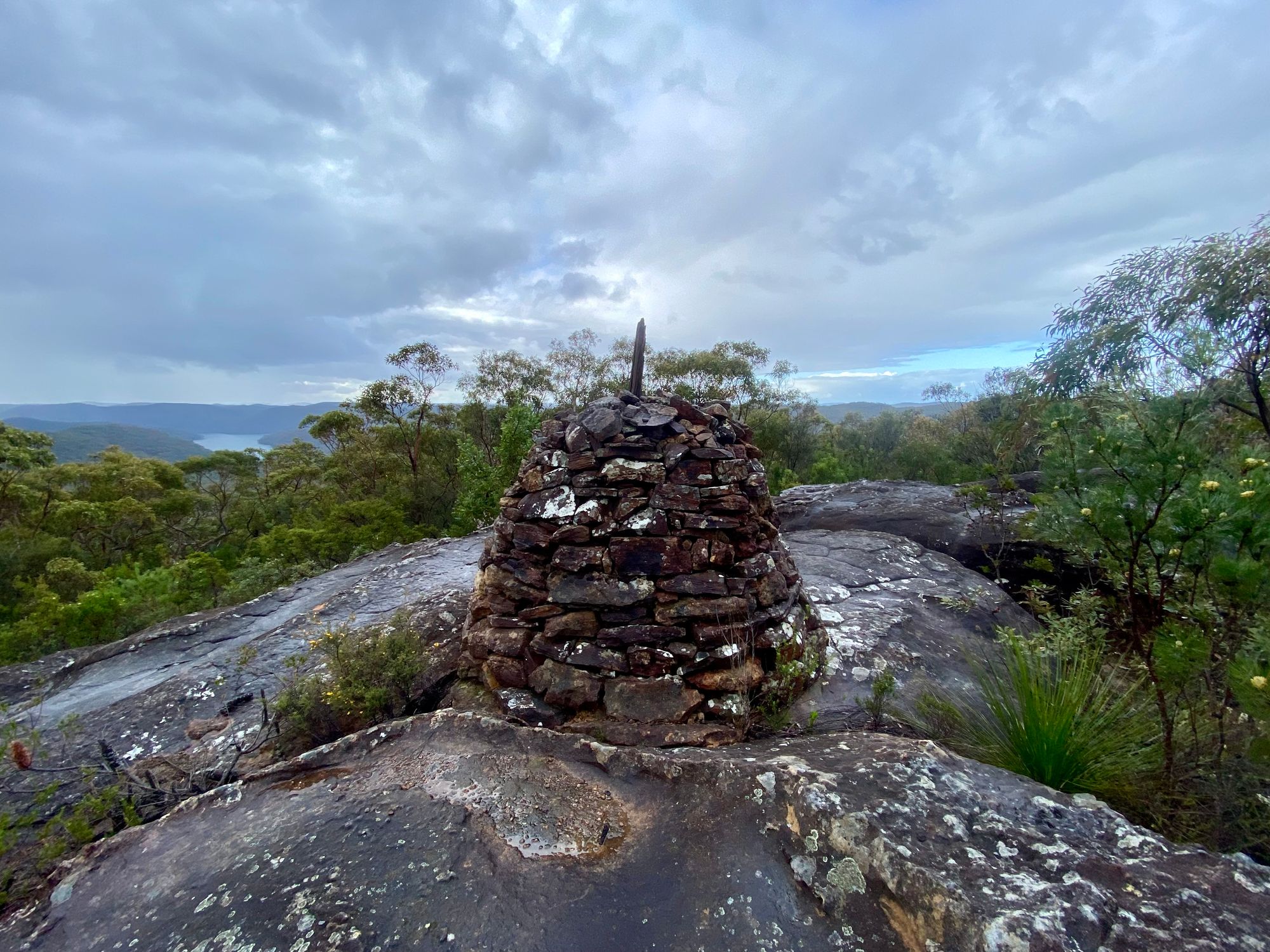
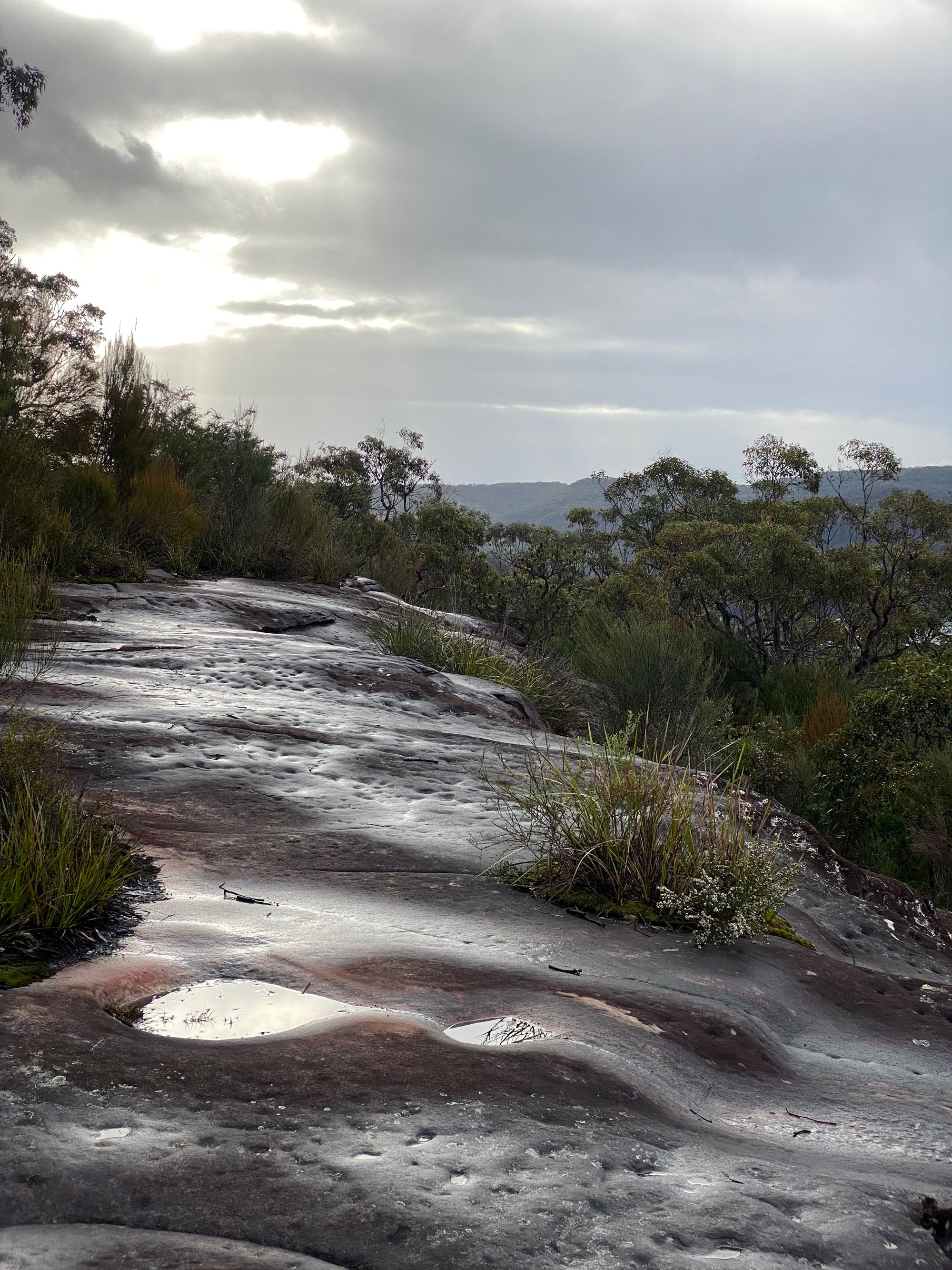
It had been raining, so the trail was quite muddy. Luckily the Ku-ring-gai peninsular has a lot of sandstone, so it was wet sand rather than soil. My first location along this track was the Trig station TS638 ARDEN. Checking my Garmin InReach mini for my current location, it was pretty easy to find a faint trail that headed in the general direction of the trig station. The walk to the base o the rocky outcrop is fairly easy, with a moderate scramble up to the trig. The trig station has deteriorated to a mound of rocks and a single wood beam. The views from the trig are quite good.
Just after the trail for TS ARDEN, there is a small trail that heads south. I decided to investigate. This trail is about 30m and ends at a small rocky outcrop with a view. What was really interesting was I could see my next point of interest, a long rocky platform. I found this spot on a satellite light map, which got me curious. I had read that there were a lot of Aboriginal engravings on a long ridge. Could this be it? Sadly I couldn't see a side trail that led to this particular rocky ridge and decided to skip this point of interest.

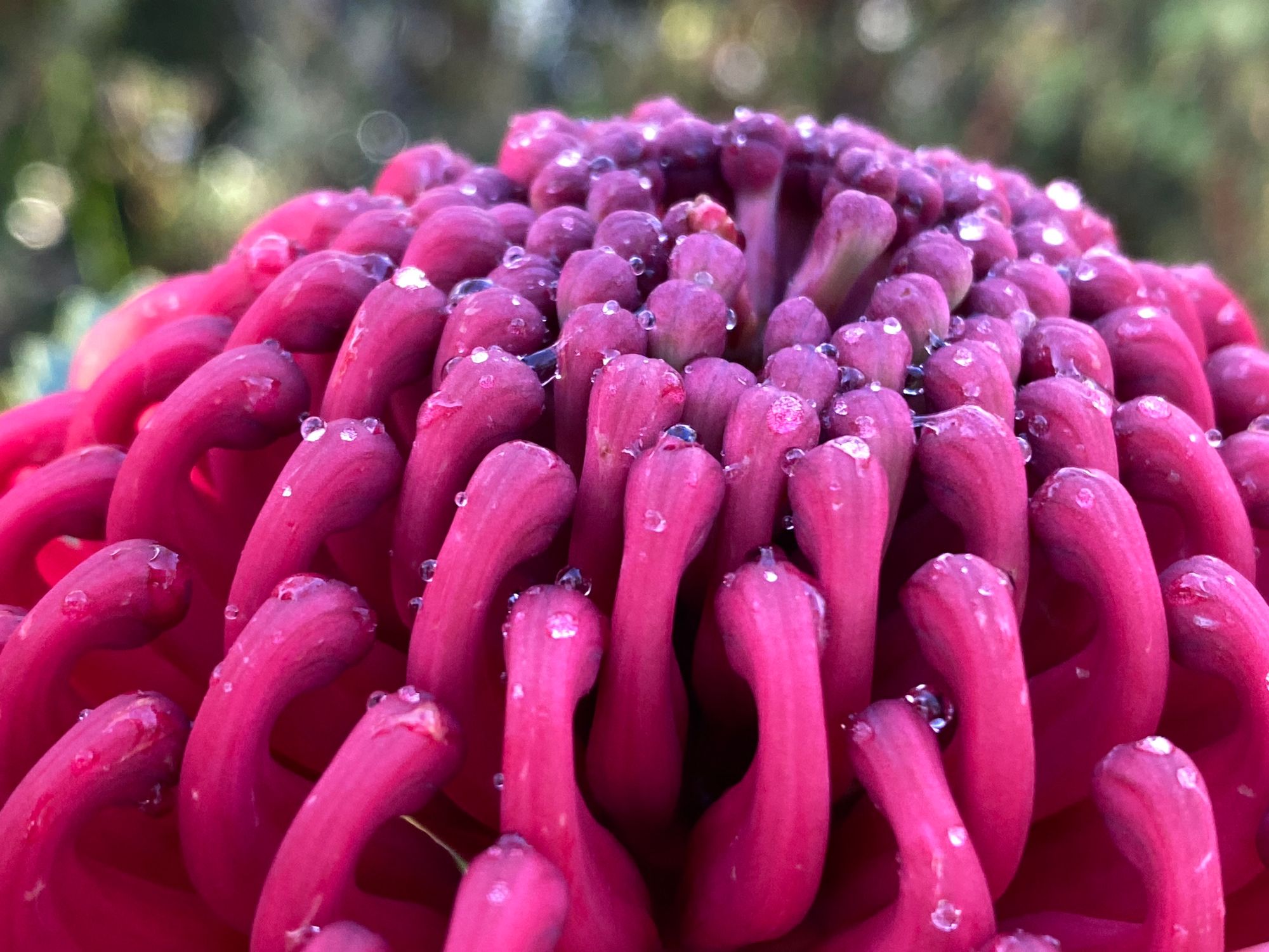
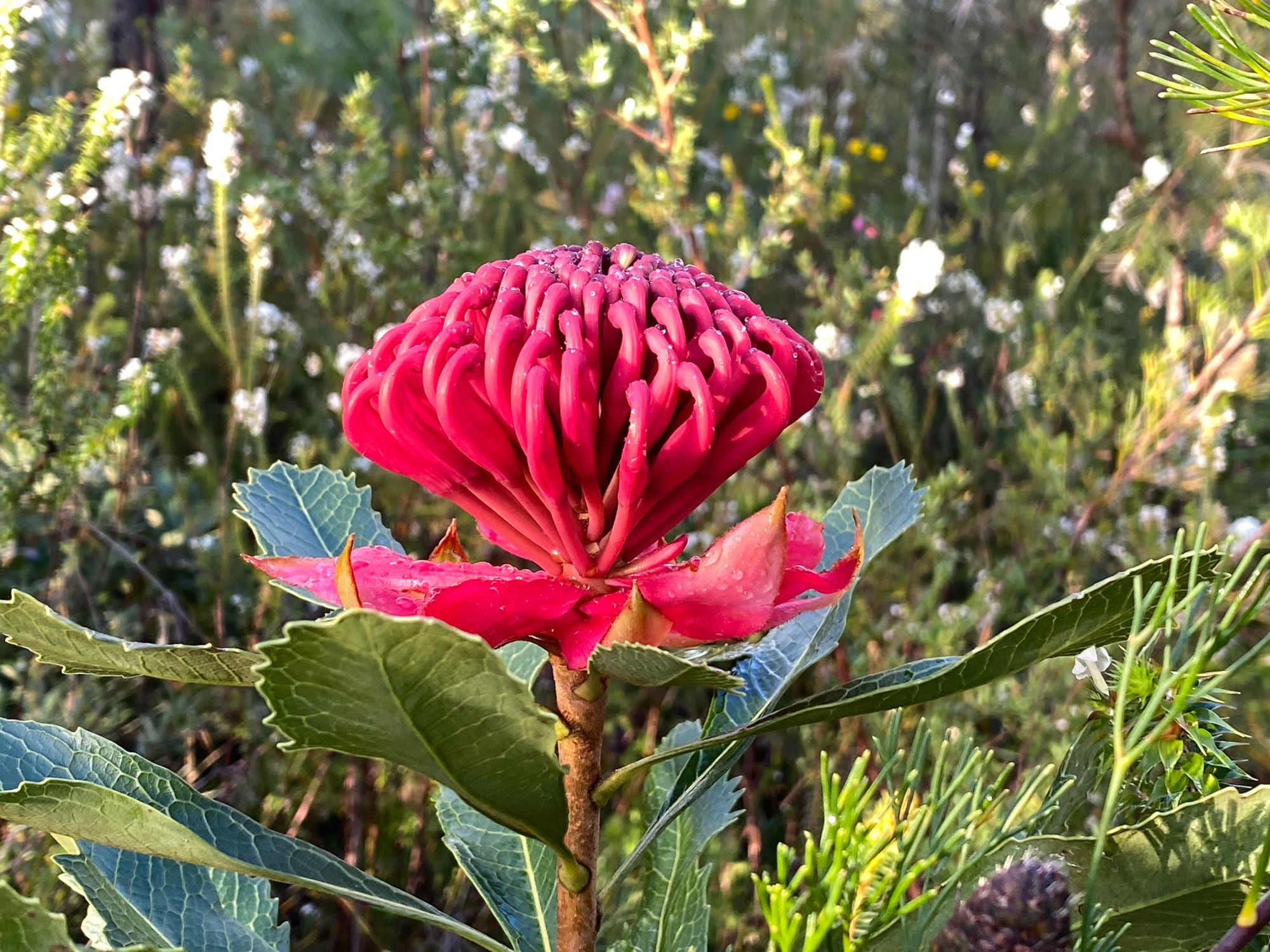
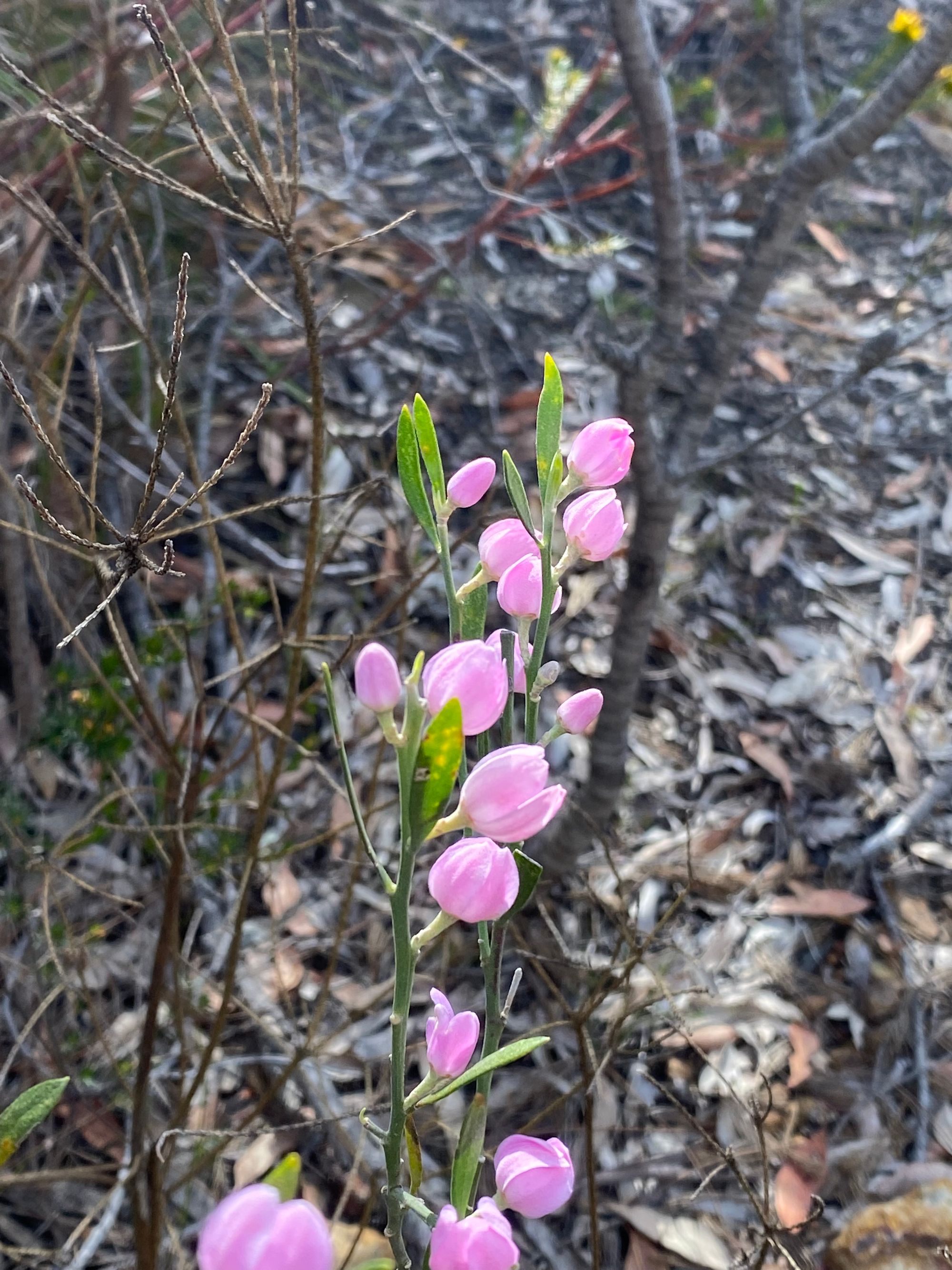
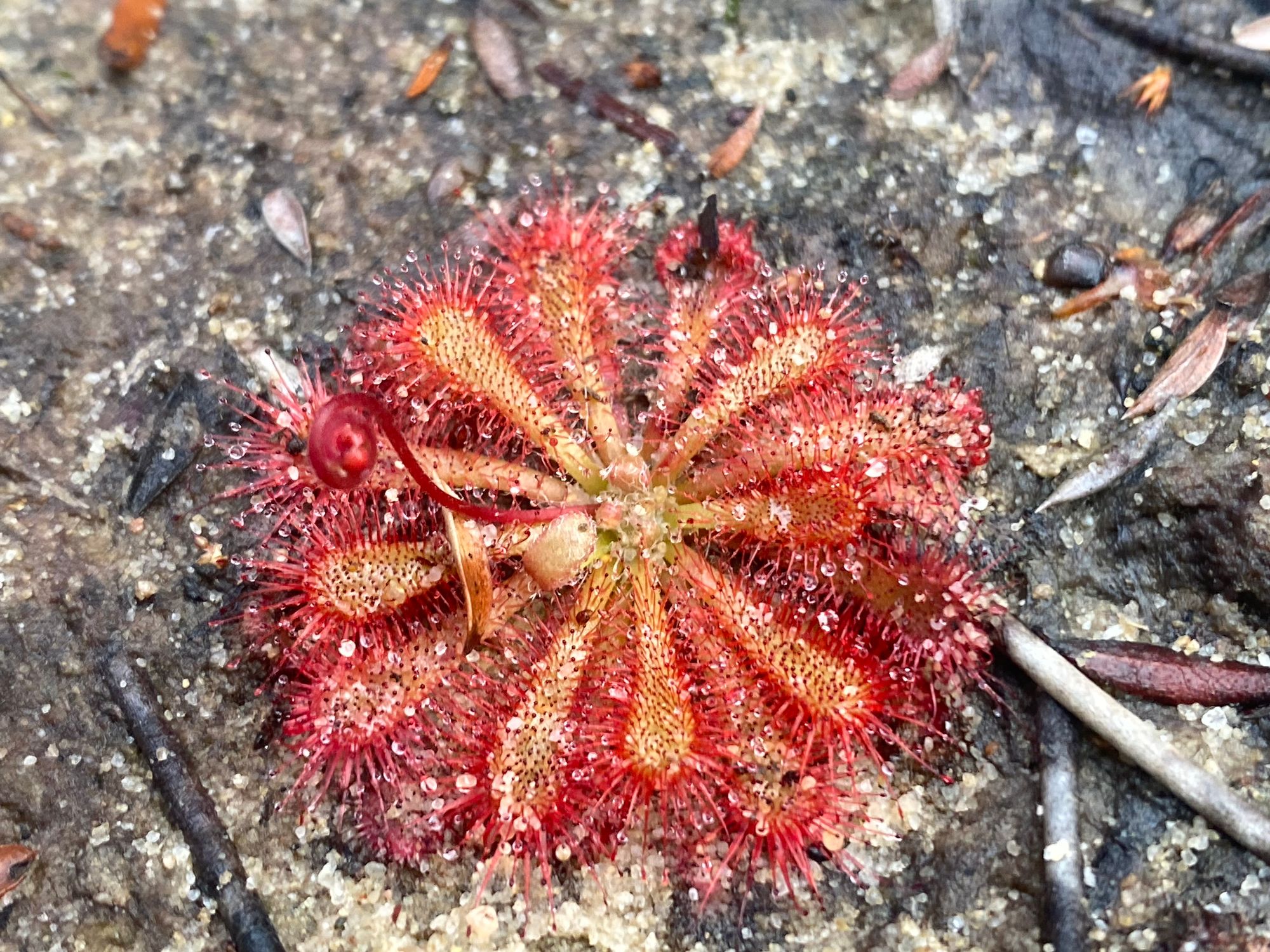
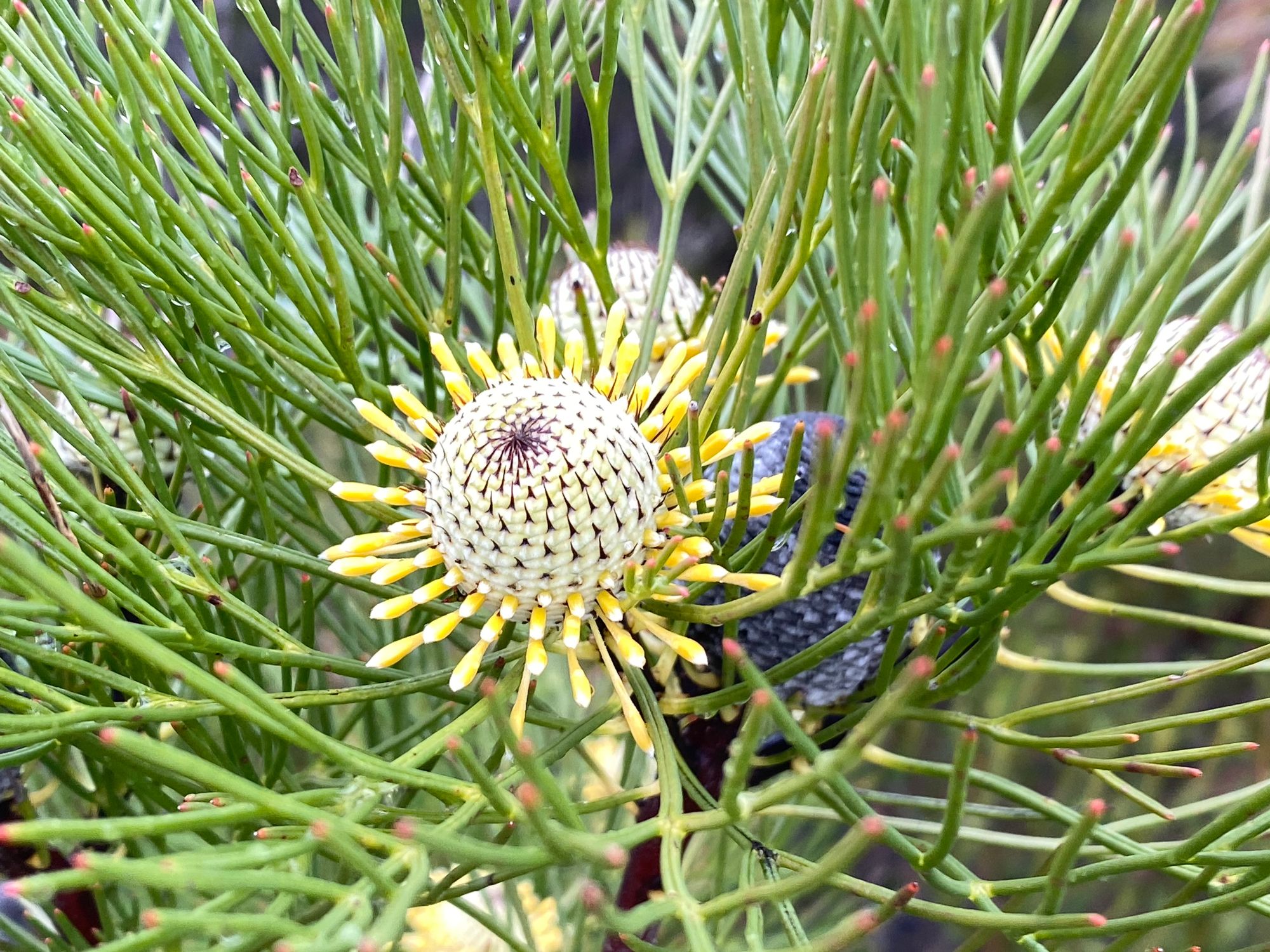
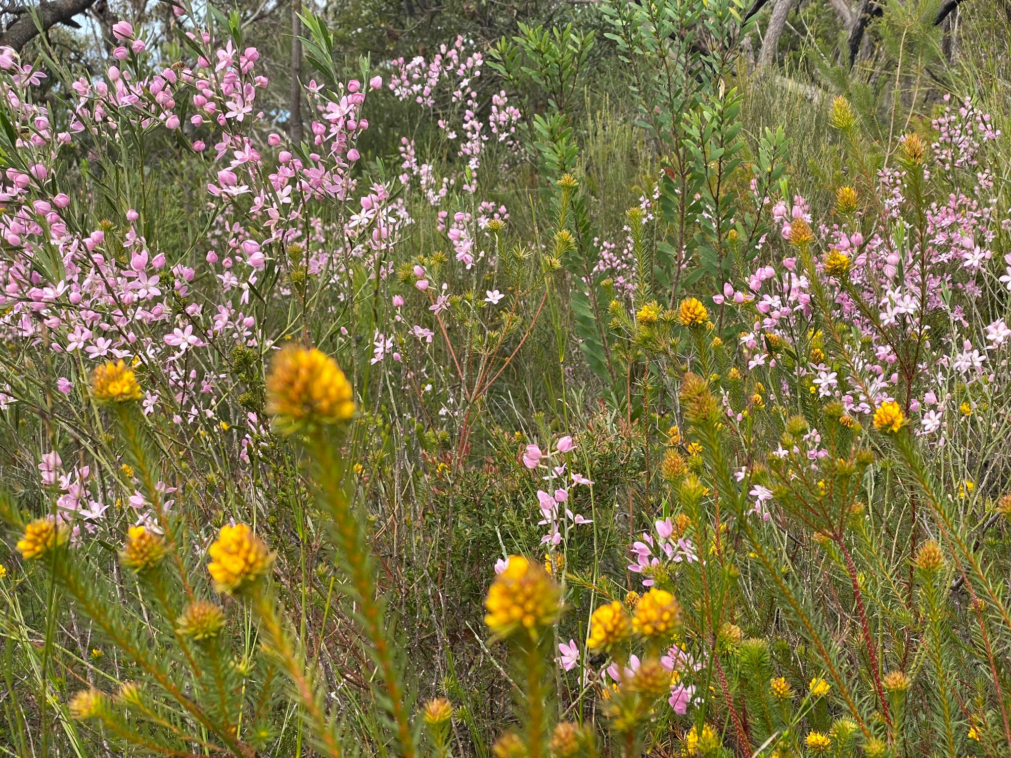
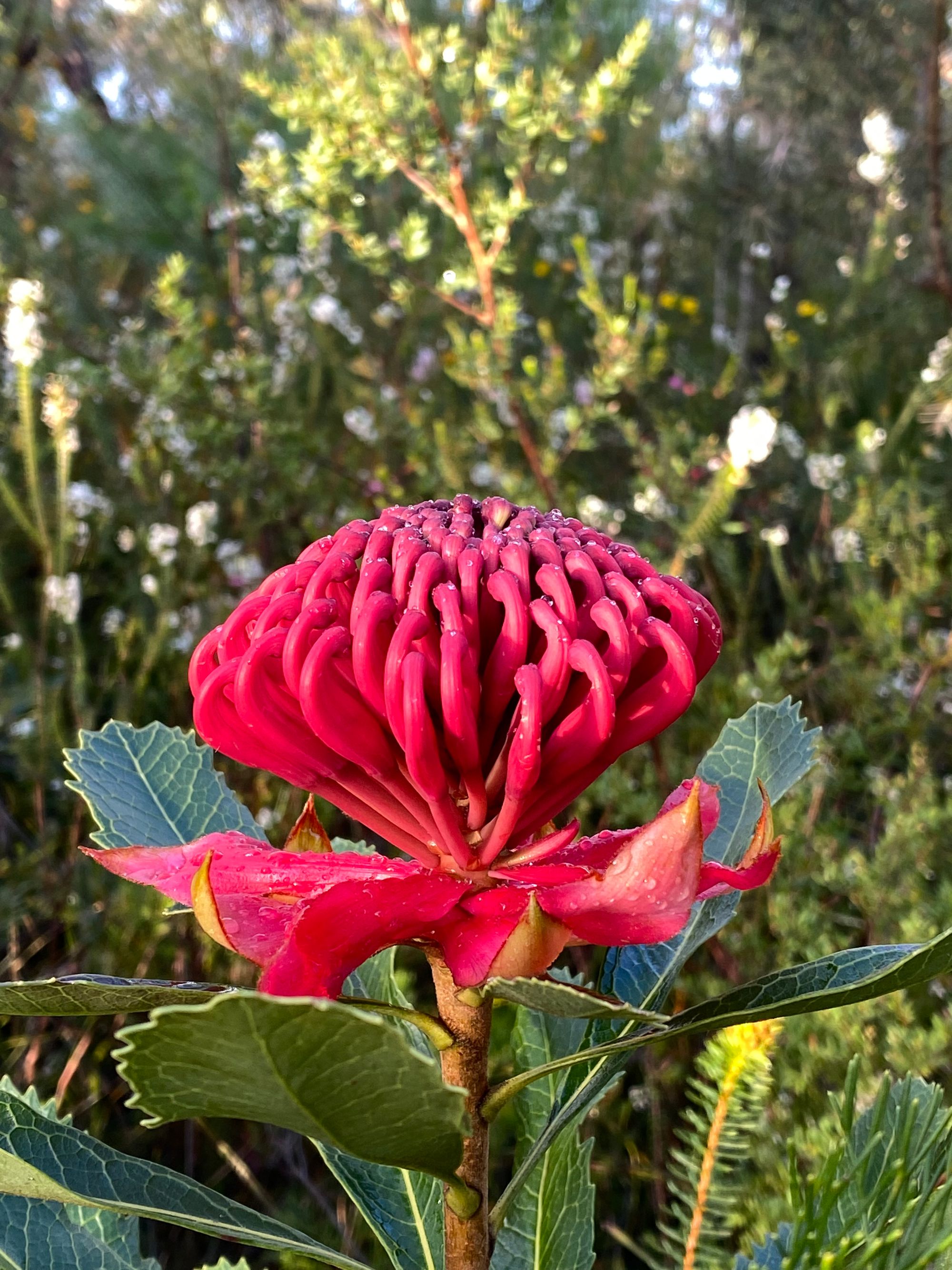
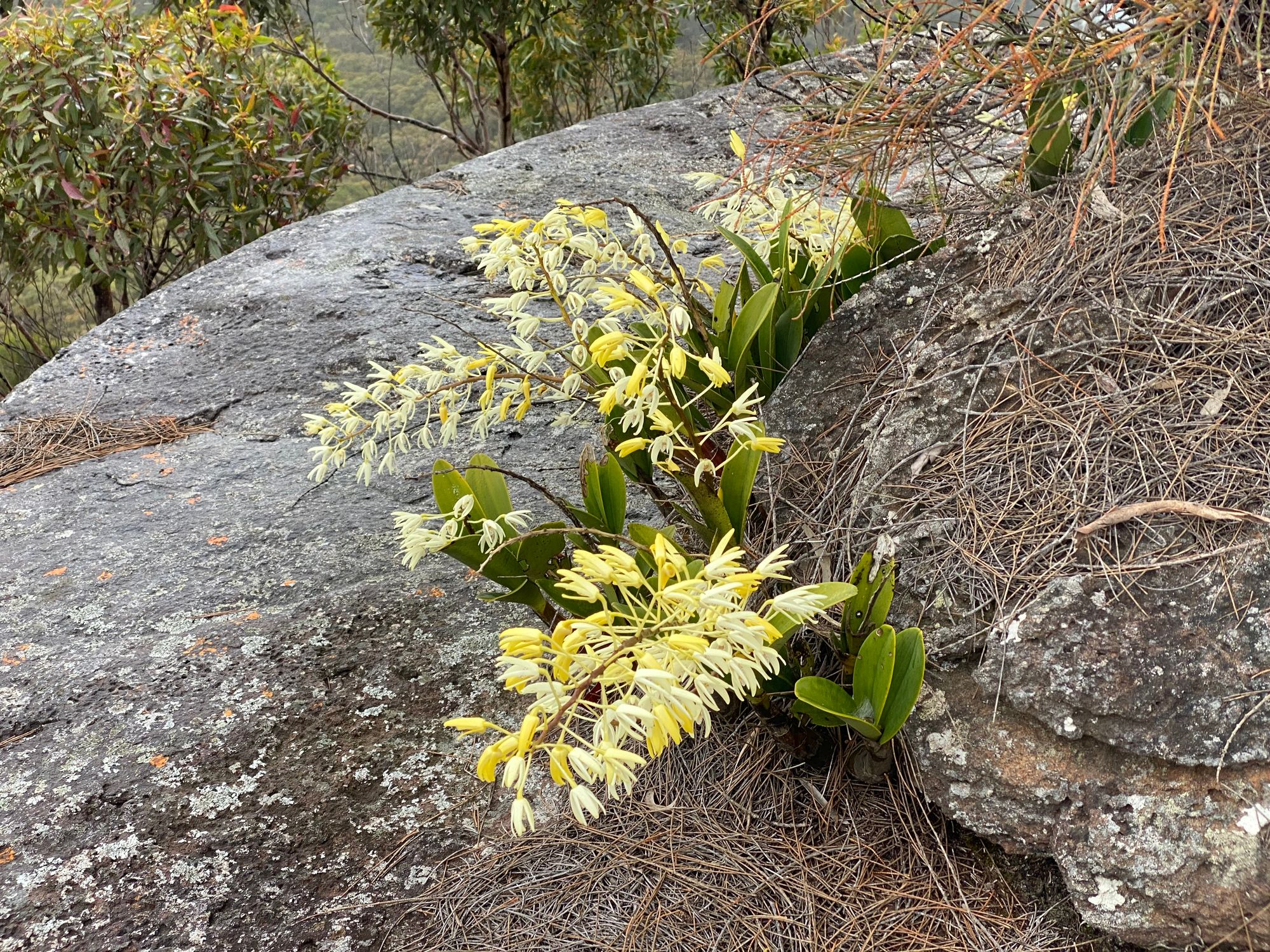
Another reason I wanted to walk this track was it was the start of spring, and the wildflowers in this national park are pretty unique. During the walk, I spotted various small flowers, rock orchards and a single flowering Waratah which really made my day.
My next point of interest was an Aboriginal engraving site. However, when I arrived, I could not for the life of me find the engravings. I will need to investigate this better.
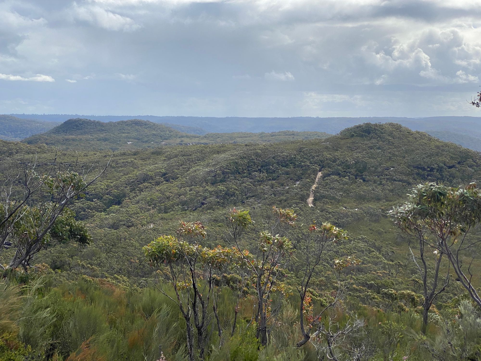
A little further on, I had arrived at my last set of points of interest. Trig station TS4625 Waratah. The track to the trig station is well marked. This trig station is in good shape and has excellent views. From this trig station, you can see where the following other trig stations are. These are the directions taken from a survey report:
- TS4576 Wallaroo 42°
- TS2779 Willunga 53°
- TS638 Arden 81°
- Bahai Temple 145°
All the trig stations are not visible as they lost their reflectors due to age. The Bahai Temple is visible.
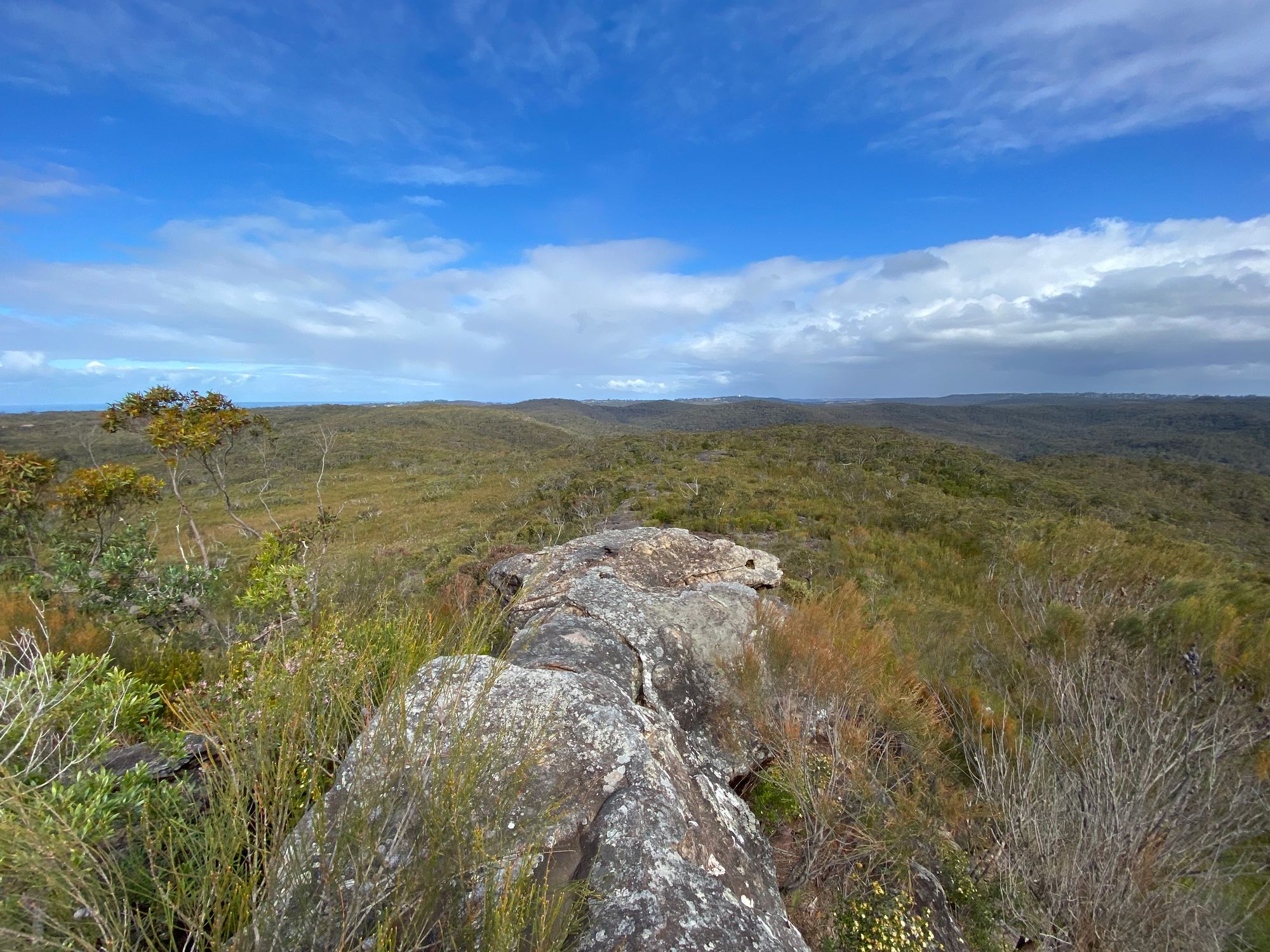
About 150m south from TS4625 is Paddys Castle. There is a faint path off the TS4625 path. Paddy's castle is a small rocky outcrop. I scrambled to the top of the castle, and the views were great, with views down to Coal and Candle creek. This is the highlight of the hike.


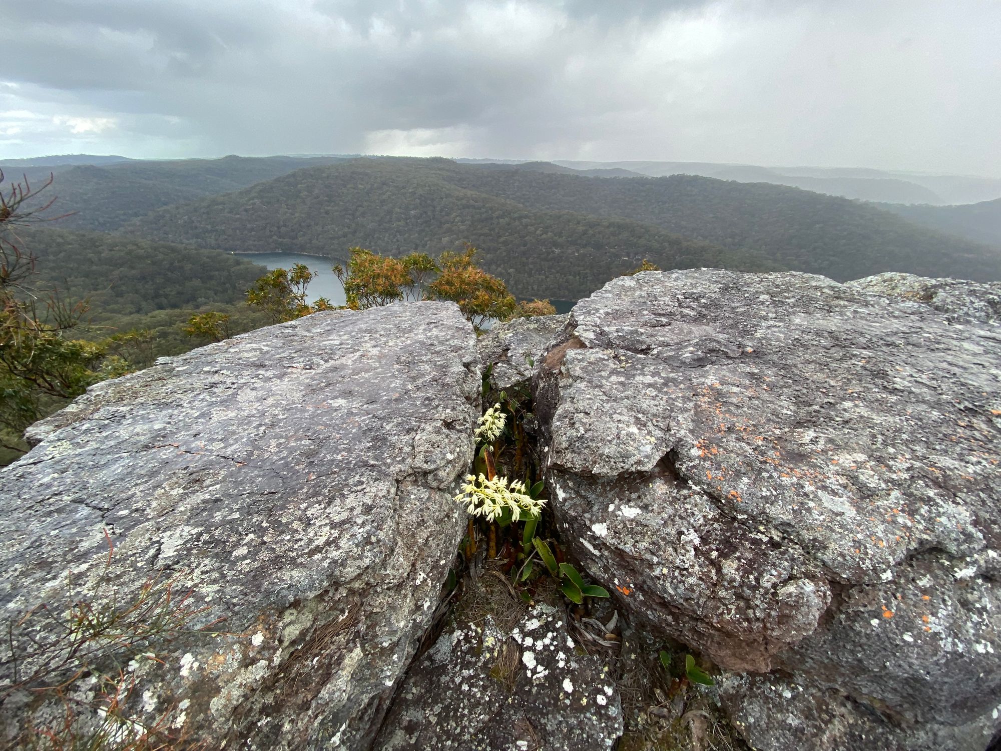
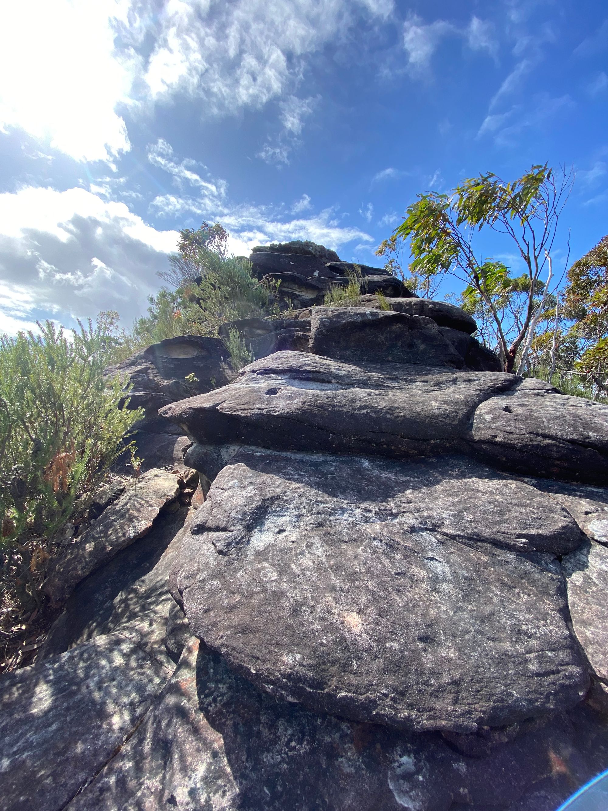
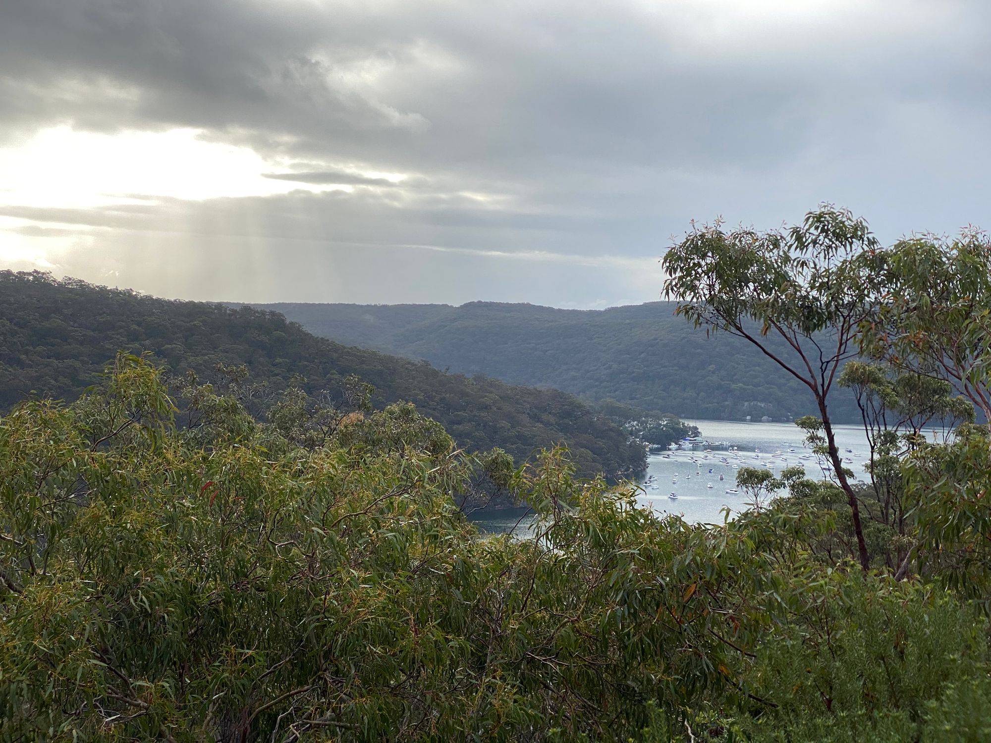
I work back down to the track and head to the end of the trail. There is a nice rocky ridge at the trail's end and lovely views north over the valley. A little further on and you can see Cowan Creek.
After this, I head back along the track to my car, taking in the sunset over the bush. On the walk back is when I spot the Waratah, making this an enjoyable walk.