Starlights Trail


I wanted to walk the Starlights Trail in Nattai National Park. It's December and it's hot at this time of year. I studied the walk and found there was a lovely river to swim and get water from near the two campsites. Getting water would not be an issue on this walk. With a little bit more planning, I packed my pack and was off.
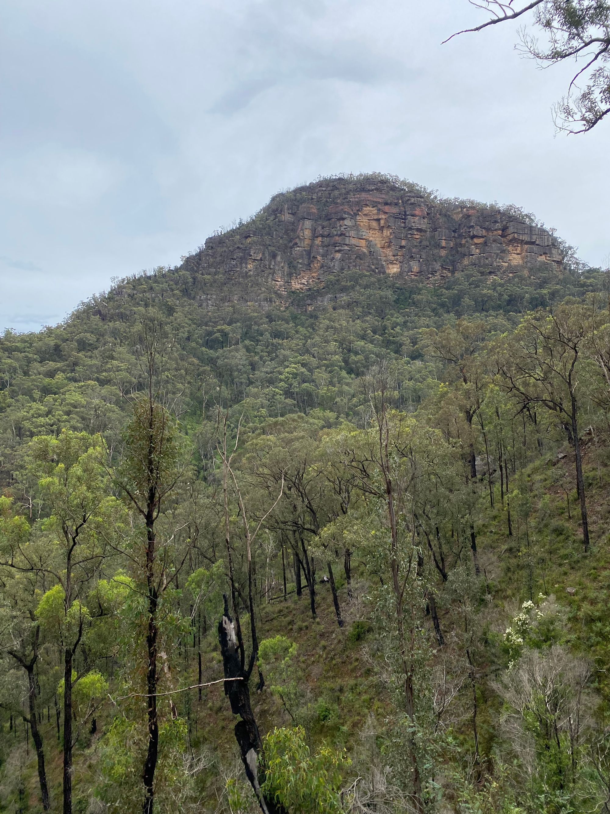
I arrived early in the morning at the trailhead car park. I wanted to walk as early as possible to beat the heat. The start of the track follows a typical fire trail. You will see a turn off with a burnt sign "Starlights trail", I take the side trail. This entire area was burnt in the 2019-2020 bushfires, and it shows.

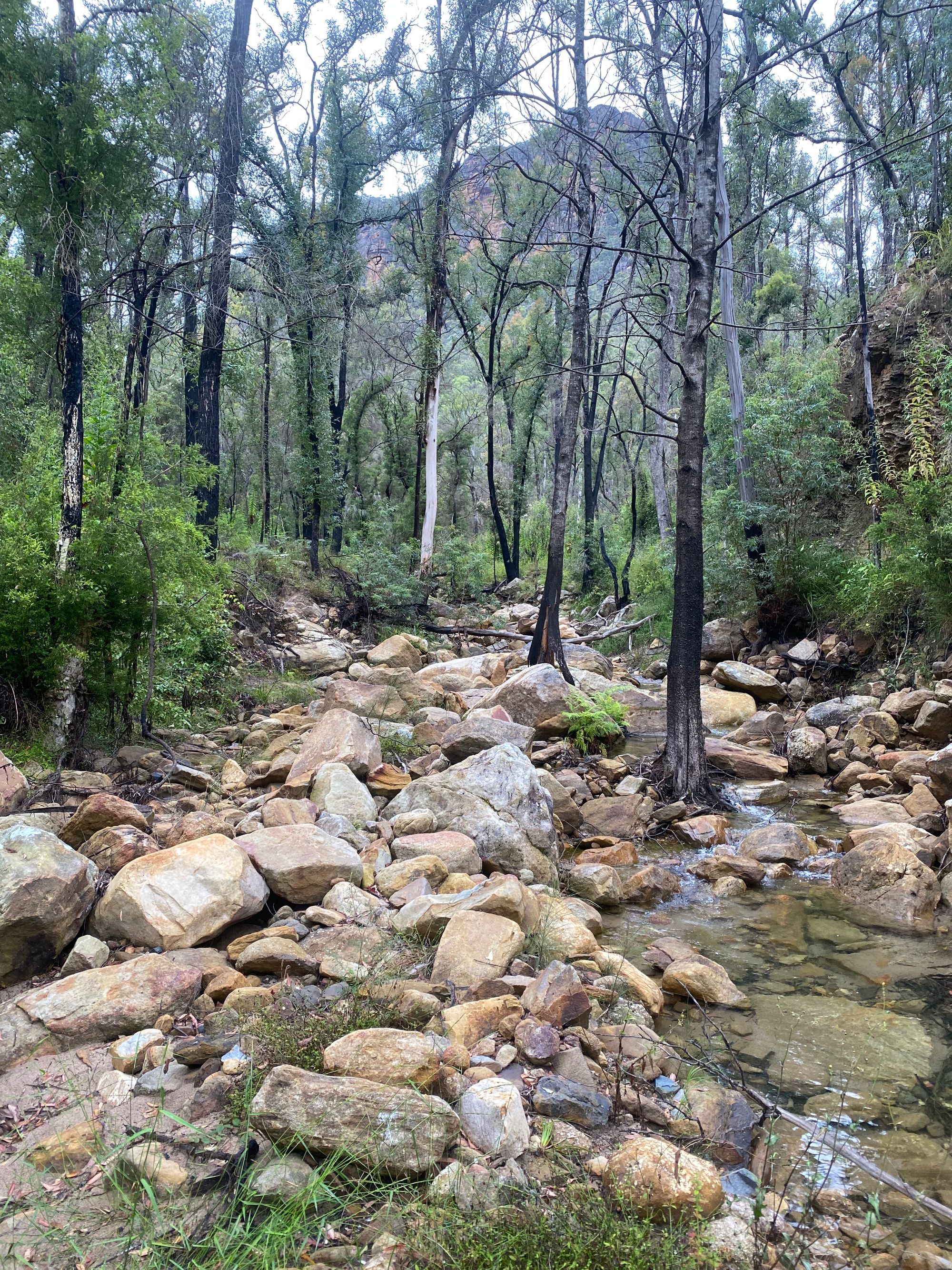
After a little while, there is another turn-off that heads down into the valley. The trail starts to descend. The trail runs down the side of the gully, slowly getting closer to the gullies creek. It's pretty hot so I take breaks whenever I see a nice piece of shade. The trail has a dozen or so trees over the trail that I climb over and under.

Near the bottom, the trail starts to zig-zag down a very steep gully down to a feeder creek of the Nattai River. I walk this slowly and my shoes grippy bottoms do their job.
I finally make it to the bottom of the valley and walk through a narrow trail through some thick scrub. I see a cheeky red-bellied black snakes head looking at me. It slowly slides back into the dense shrub. Being summer, there were always going to be snakes near the water.
I arrive at the Nattai River and what a sight. The banks are scattered with still standing burnt, dead trees. There are no signs of life in these trees.
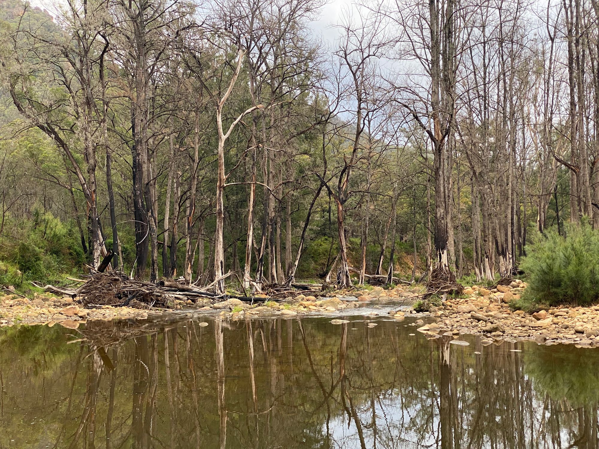
There are two campsites on that Starlights trail. Emmetts Flat and McArthurs Flat. At the end of the trail is Emmetts Flat. The fires have burnt the whole area allowing thick scrub to take over the area. The fires also took the tree cover. There are two main areas where you can camp.
I decide to cross the river and see what McArthurs Flat campground looks like. After crossing the refreshing yet bouldery Nattai River I try and find the campground. A campground. Anything. I fail to find any campground on the western side of the river. It appears the fires allow thick scrub to take over the whole area. With this, I head back to Emmetts Flat and set up camp. The afternoon is lazy with the summer heat with periodic dips in the refreshing Nattai River. The lack of tree cover at camp becomes a real issue with the sun. I find some shade near the river and enjoy a relaxed afternoon. That night, a massive thunderstorm rolls through the valley. Treating me to a light show.
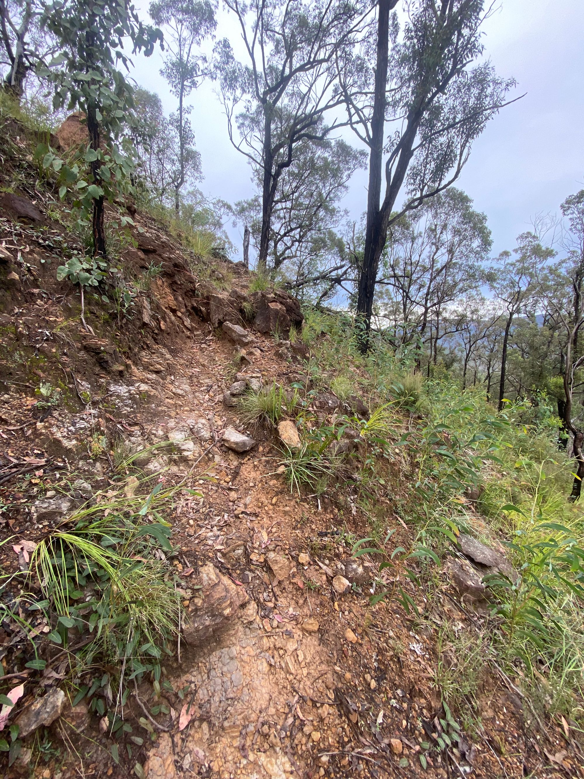
Knowing that the walk-out is very steep and seeing the warm weather forecast on my Garmin inReach, I decide to pack up camp before first light and try and tackle the steepest parts of the trail while the sun is below the valleys ridge. This turns out to be an excellent idea and the walk out of the valley is quite enjoyable.
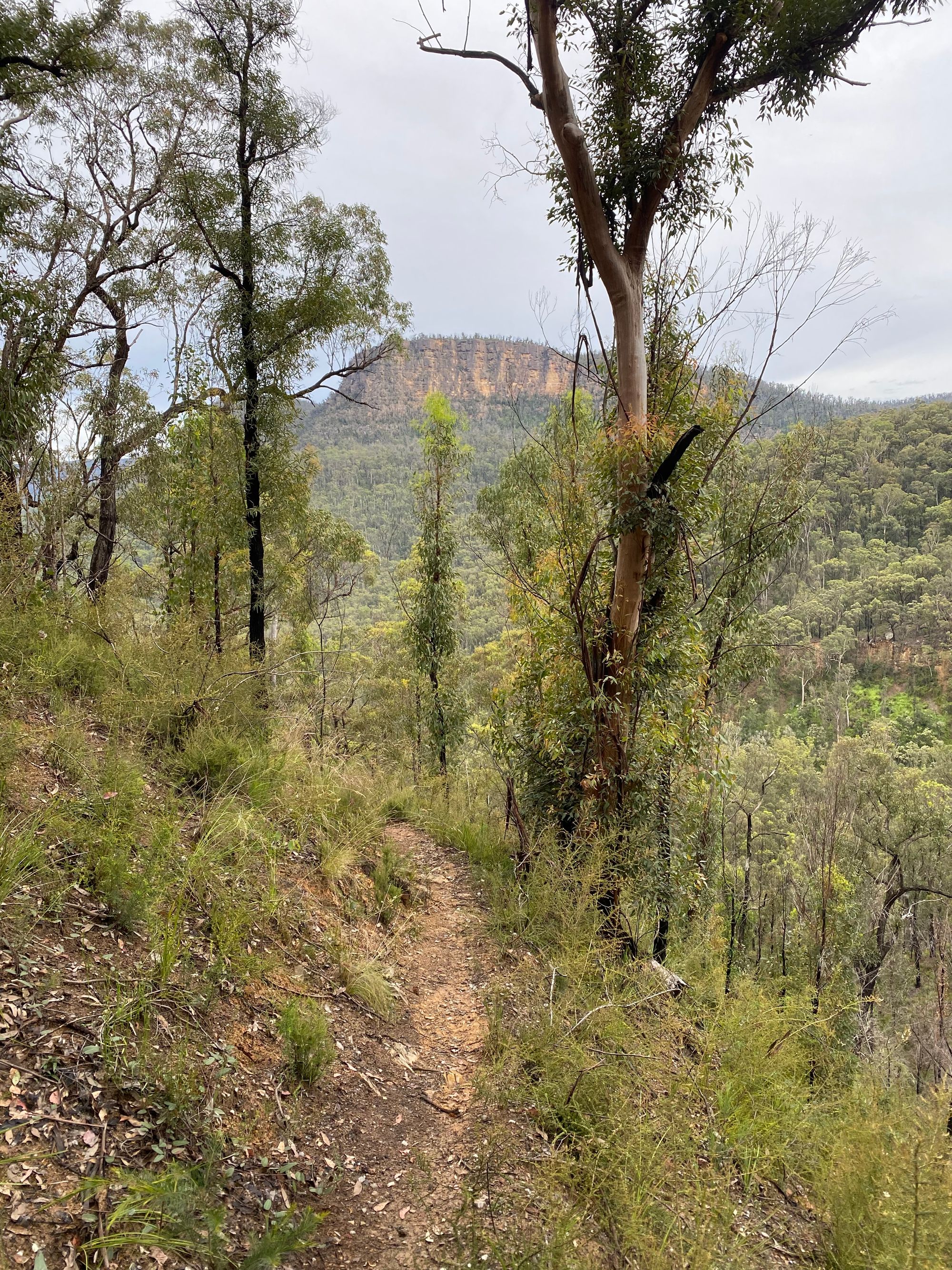
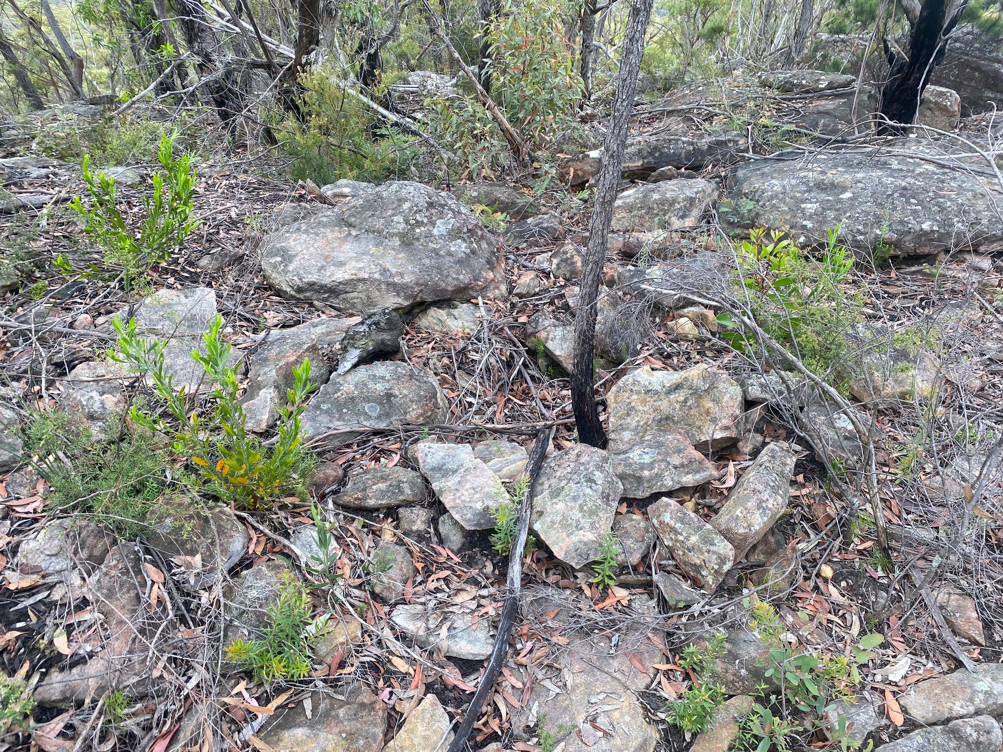
Once at the top of the ridge, I head off track to find the Point Hill Trig Station. It's 666 meters which is an interesting number. At the top of the hill, I try and find it but come up empty-handed. I later find out that the trig station has been missing for quite some time. I do find a small pile of rocks that could maybe be it?
After this, I slowly retrace my steps to the car park as the sun is now out and at full force.