Other
Below is a collection of resources I use while hiking.
Fauna Spotting
Australian Fauna I’ve spotted while bushwalking. Lace Monitor -Varanus variusWhere: Yengo National ParkWhen: 12/2/2022 -------------------------------------------------------------------------------- Cunningham’s Skink - Egernia cunninghamiWhere: Kosciuszko National ParkWhen: 26/1/2022 --…
Flora Spotting
Australian flowers & plants I’ve spotted while bushwalking. Common Fringe Lily - Thysanotus tuberosus subsp. tuberosusWhere: Marramarra National ParkWhen: 7/2/2021 -------------------------------------------------------------------------------- Narrow-leaved Bottlebrush - Callistemon Linearis…
Trig Stations
Trig Stations I’ve visited during bushwalks TS1808 DENNY (211m)Coordinates WGS 84: -33.562283, 151.130100 UTM: 56H 326426 6284809 Height: 211m Where: Marramarra National Park Visited: 7/2/2021-------------------------------------------------------------------------------- TS2882 LONG (209m)Co…
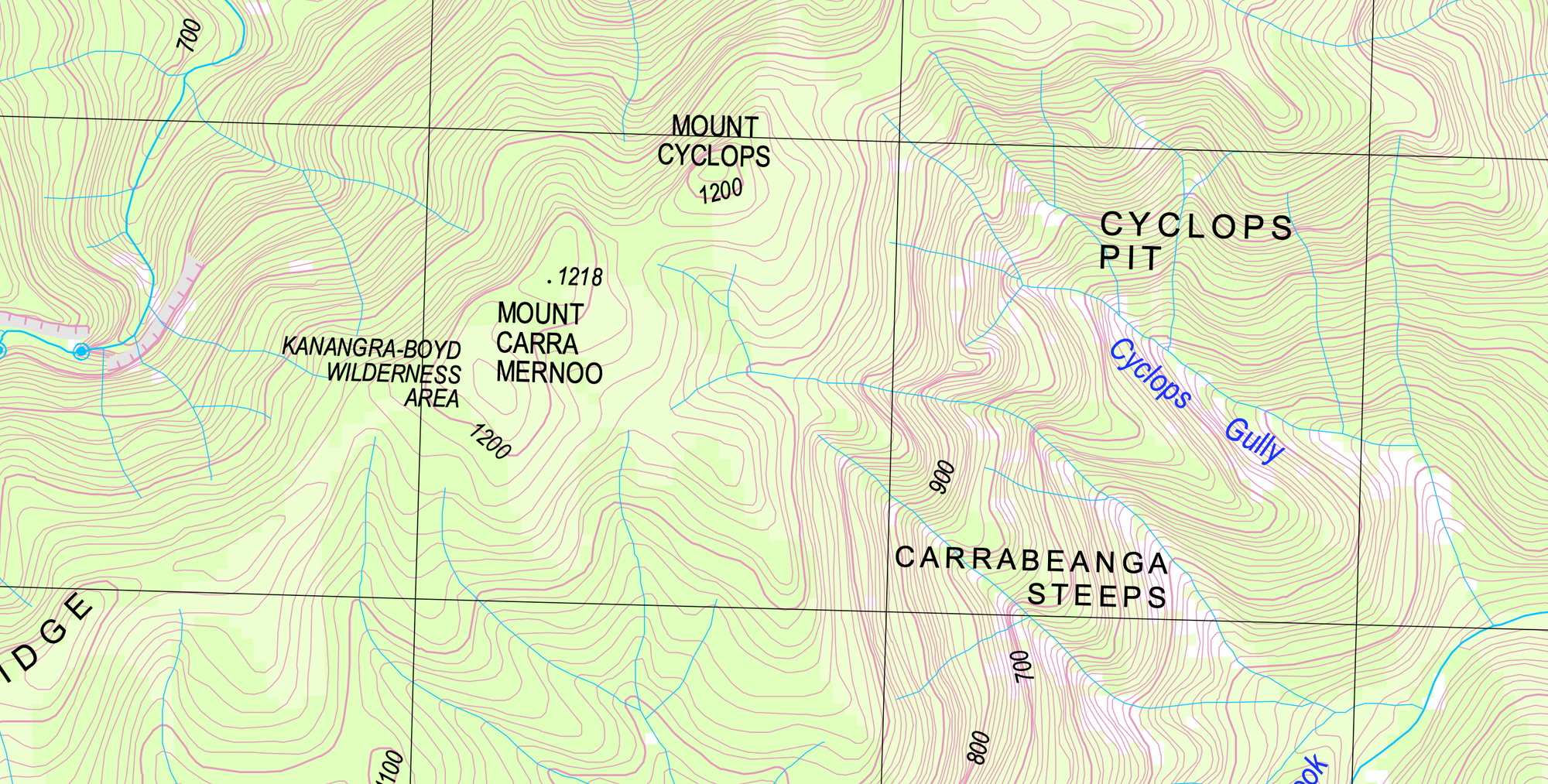
NSW Topographic Maps
This is a list of all the NSW GEOPDF Topographic Maps. * 25k 9135-1N ABERBALDIE [https://portal.spatial.nsw.gov.au/download/geopdf/25k/9135-1N+ABERBALDIE.pdf] * 50k 8730-S ABERCROMBIE [https://portal.spatial.nsw.gov.au/download/geopdf/50k/8730-S+ABERCROMBIE.pdf…
