Neverfail track to TS1507 COBA
A bushwalk to TS1507 COBA

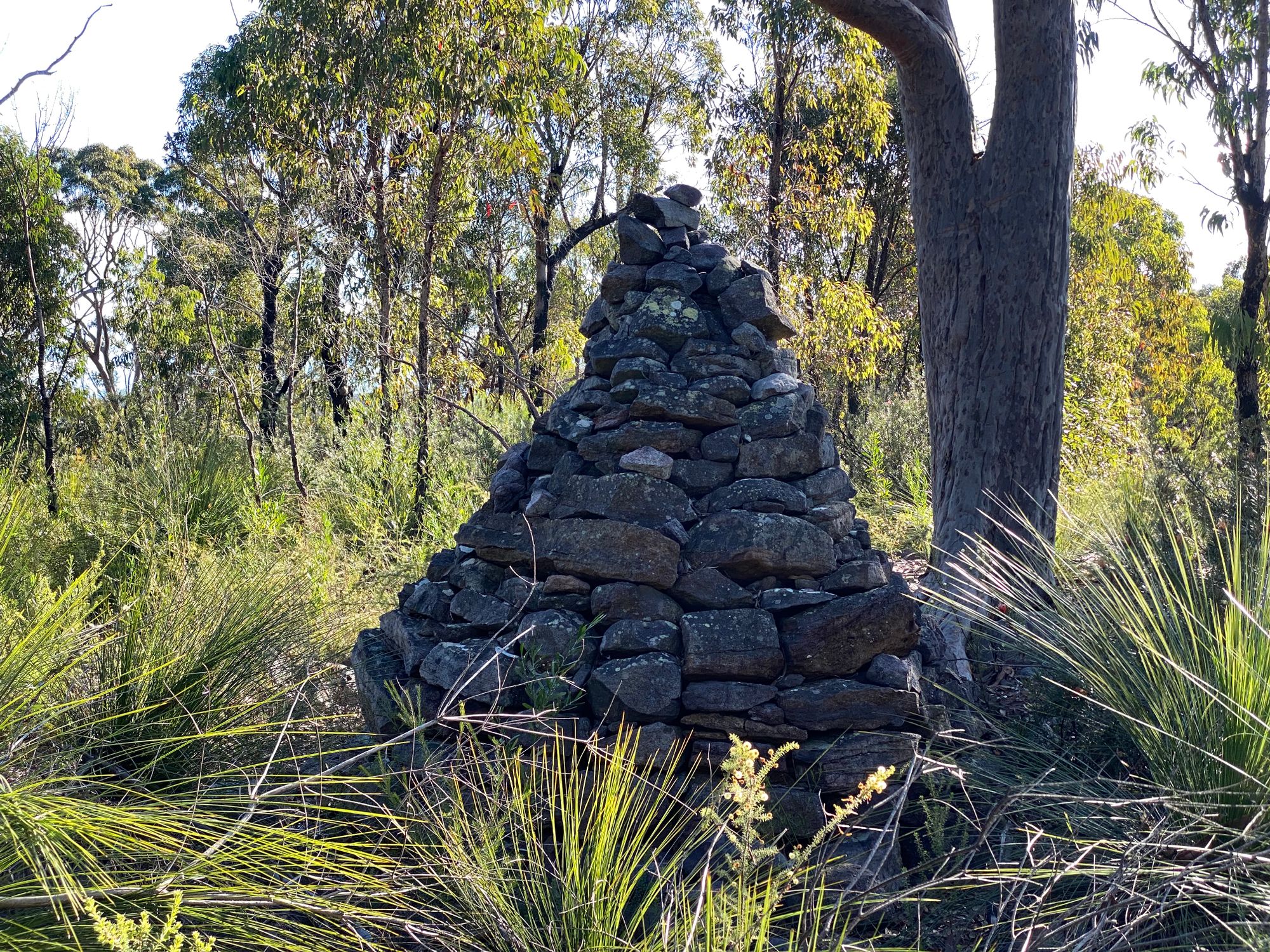
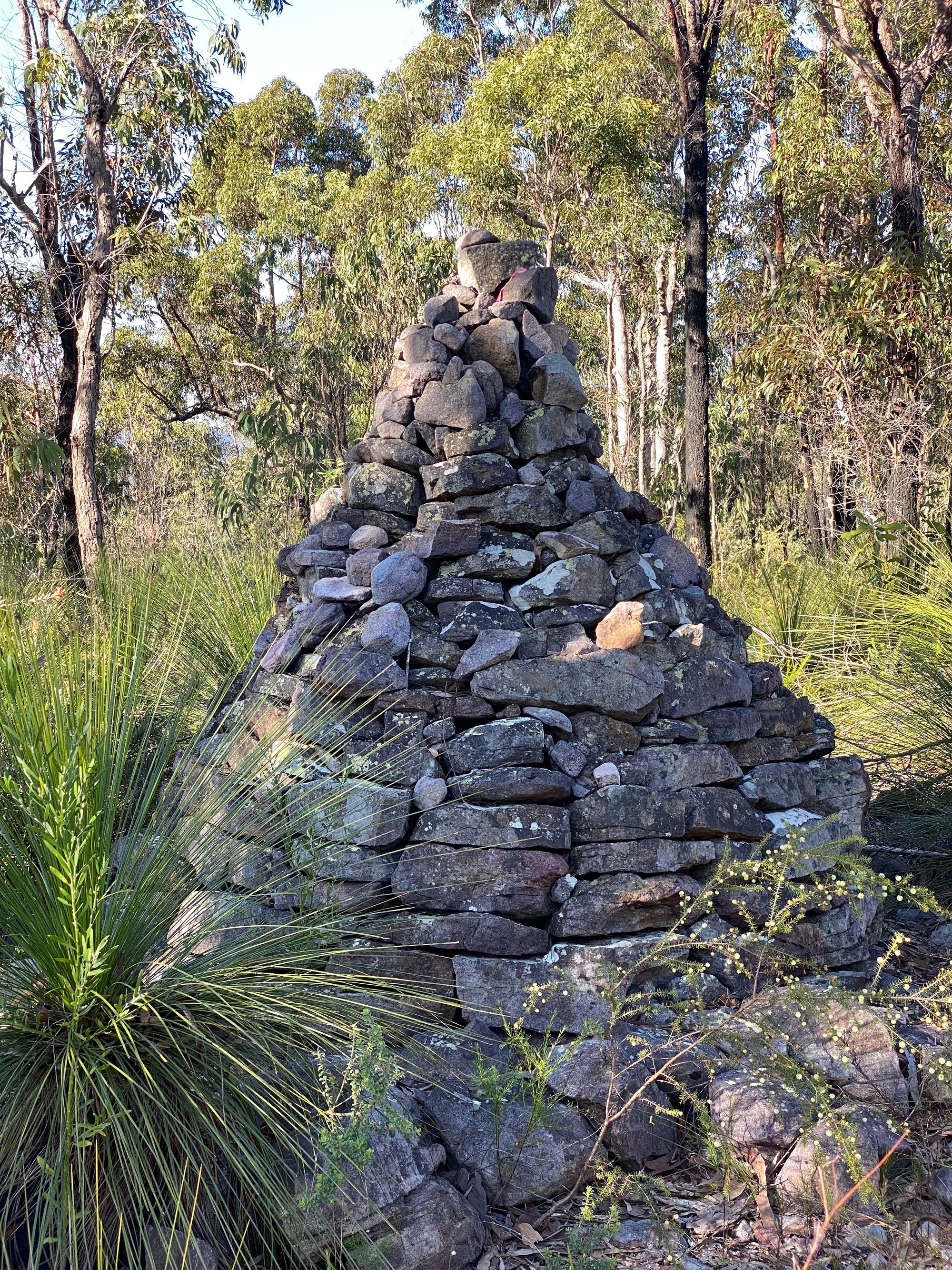
Trig stations are fixed survey markers that sit at the top of the highest hill or mountain in an area. You can sometimes see other trigs from other trig stations you visit. Today I wanted to walk to the trig station TS1507 COBA located in Marramarra National Park. This trig station is made from stones and was built in 1894. It’s off the Neverfail Track. There is also one other trig along this track which I’ve visited before. But today I wanted to visit TS1507 COBA.
I started this bush walk at the end of Bloodwoods Road in Fiddletown. From there I take the Neverfail Trail or Coba Ridge Firetrail depending on where you look. The firetrail has recently been graded so it’s very easy walking along the ridge.
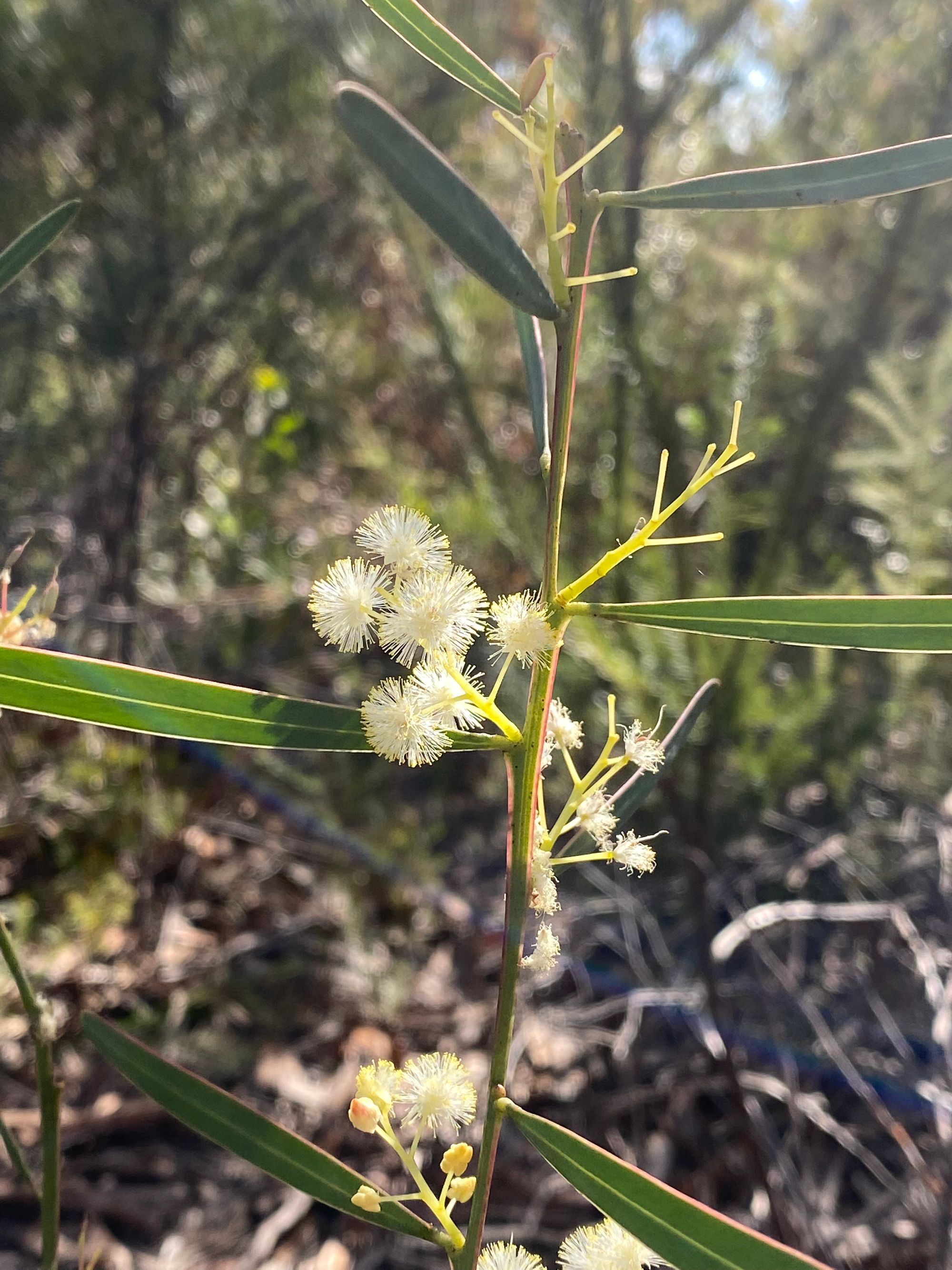
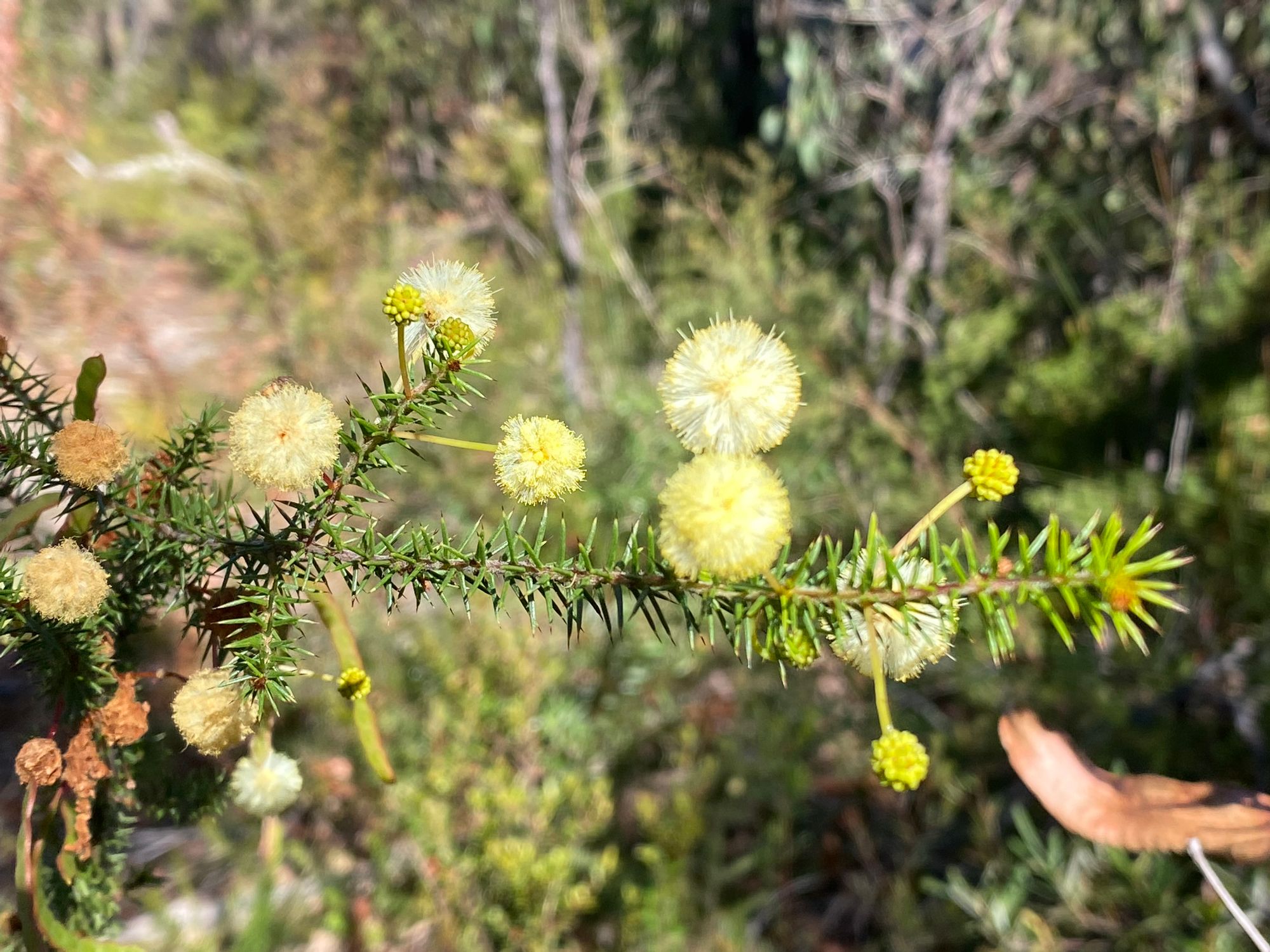
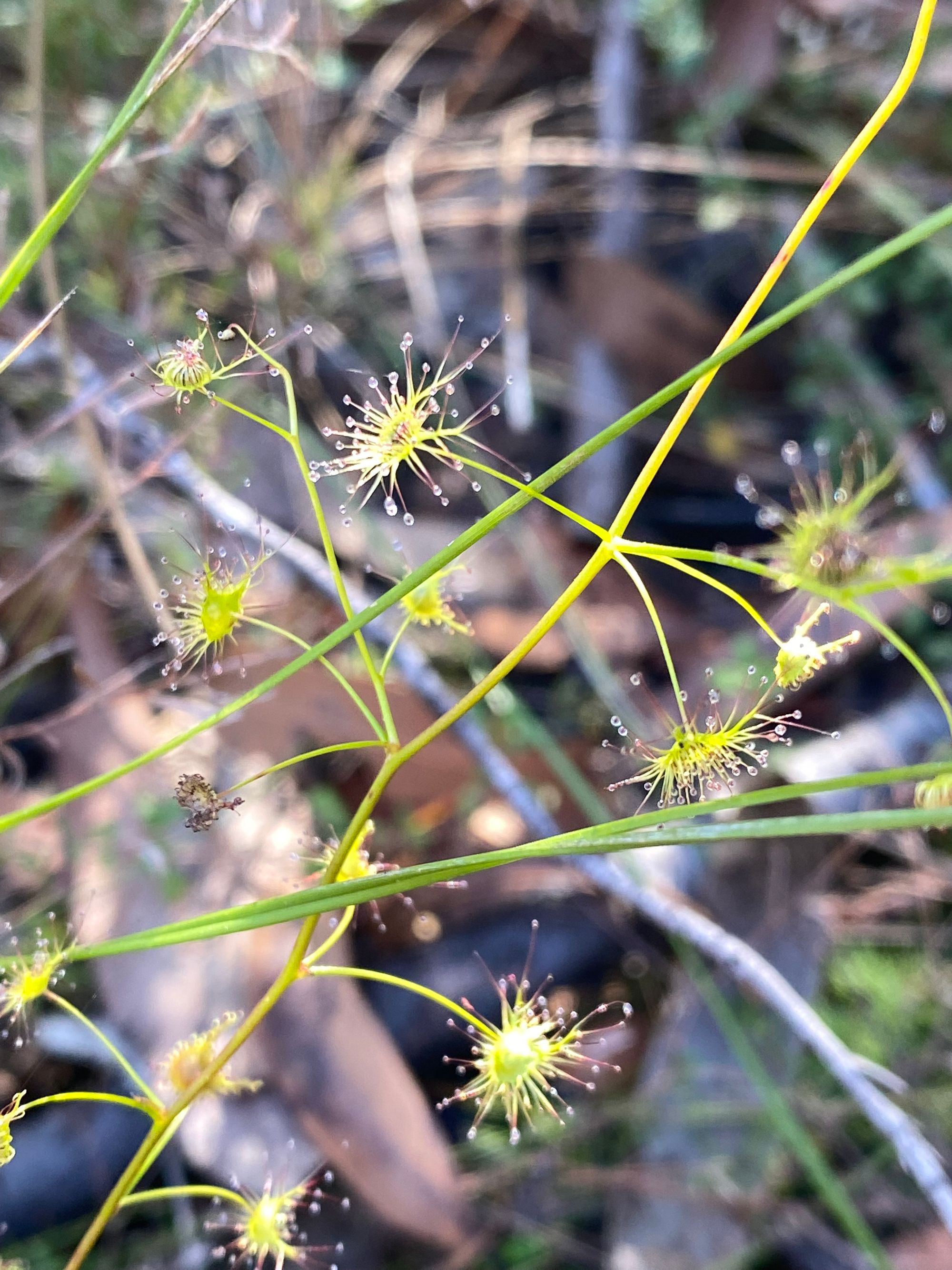
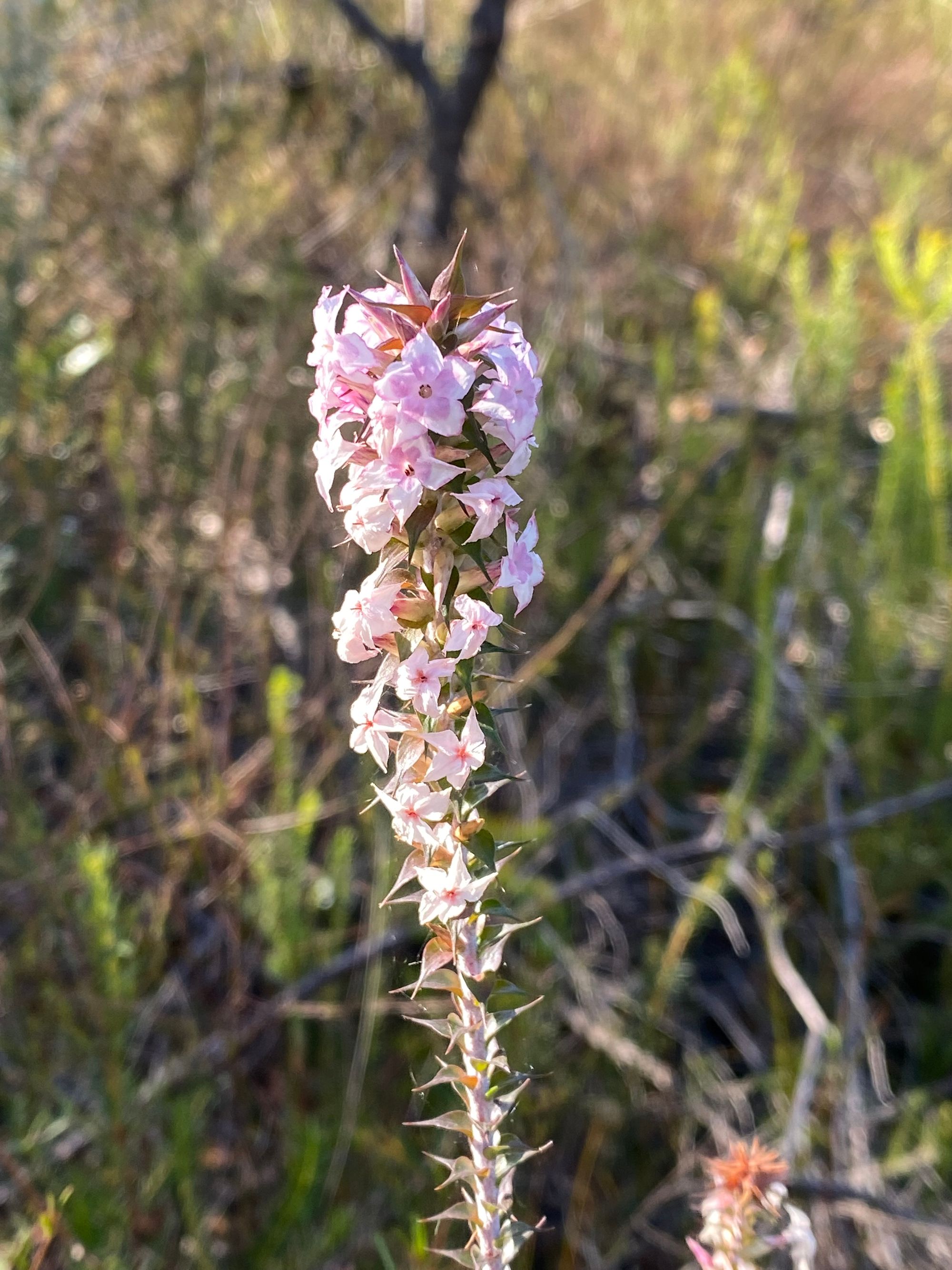
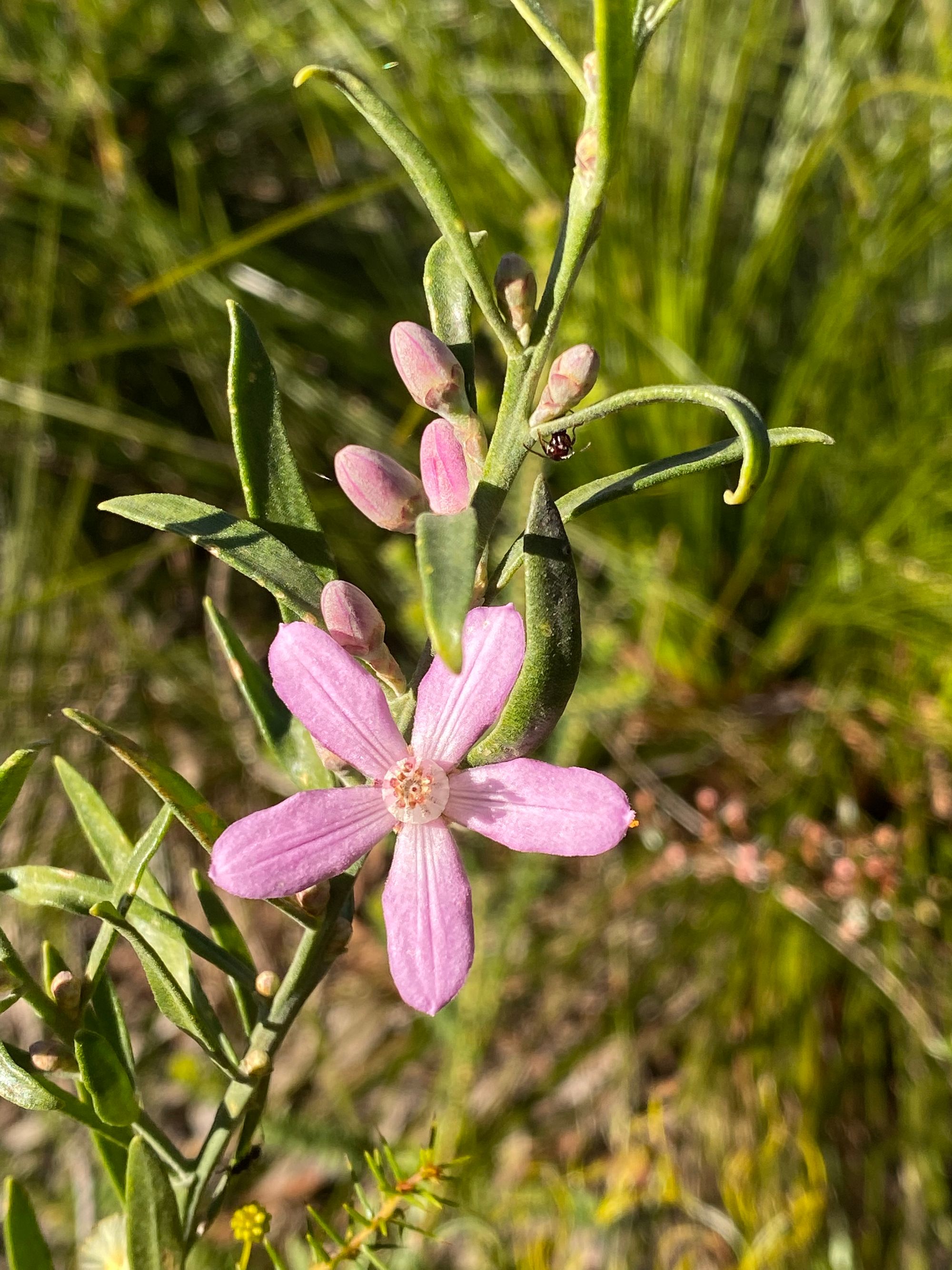
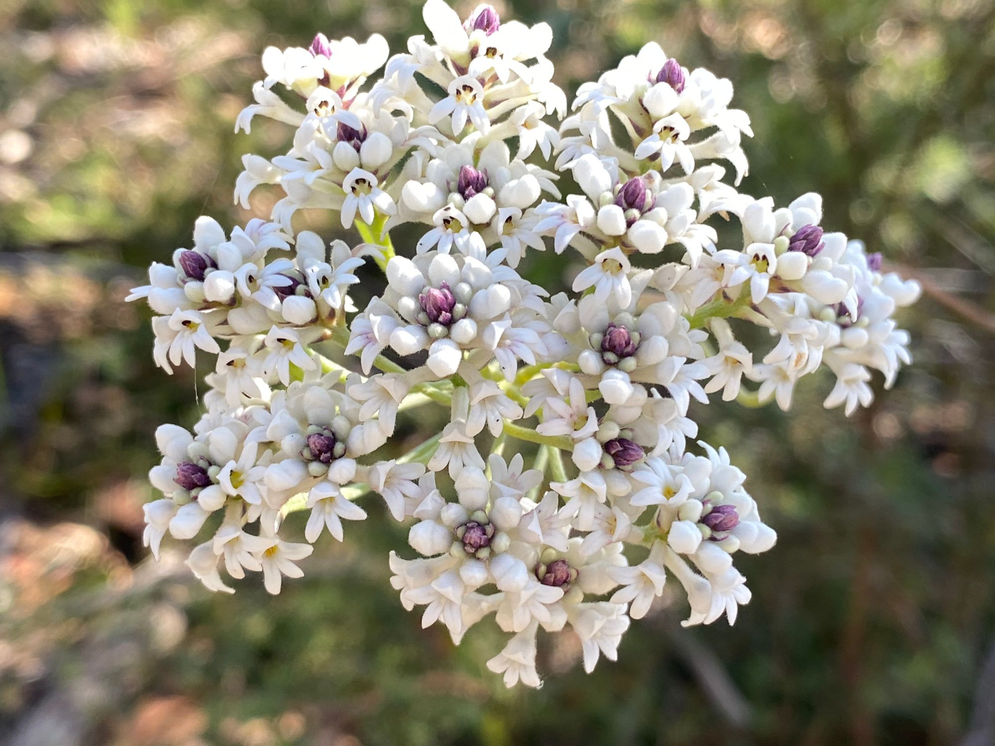
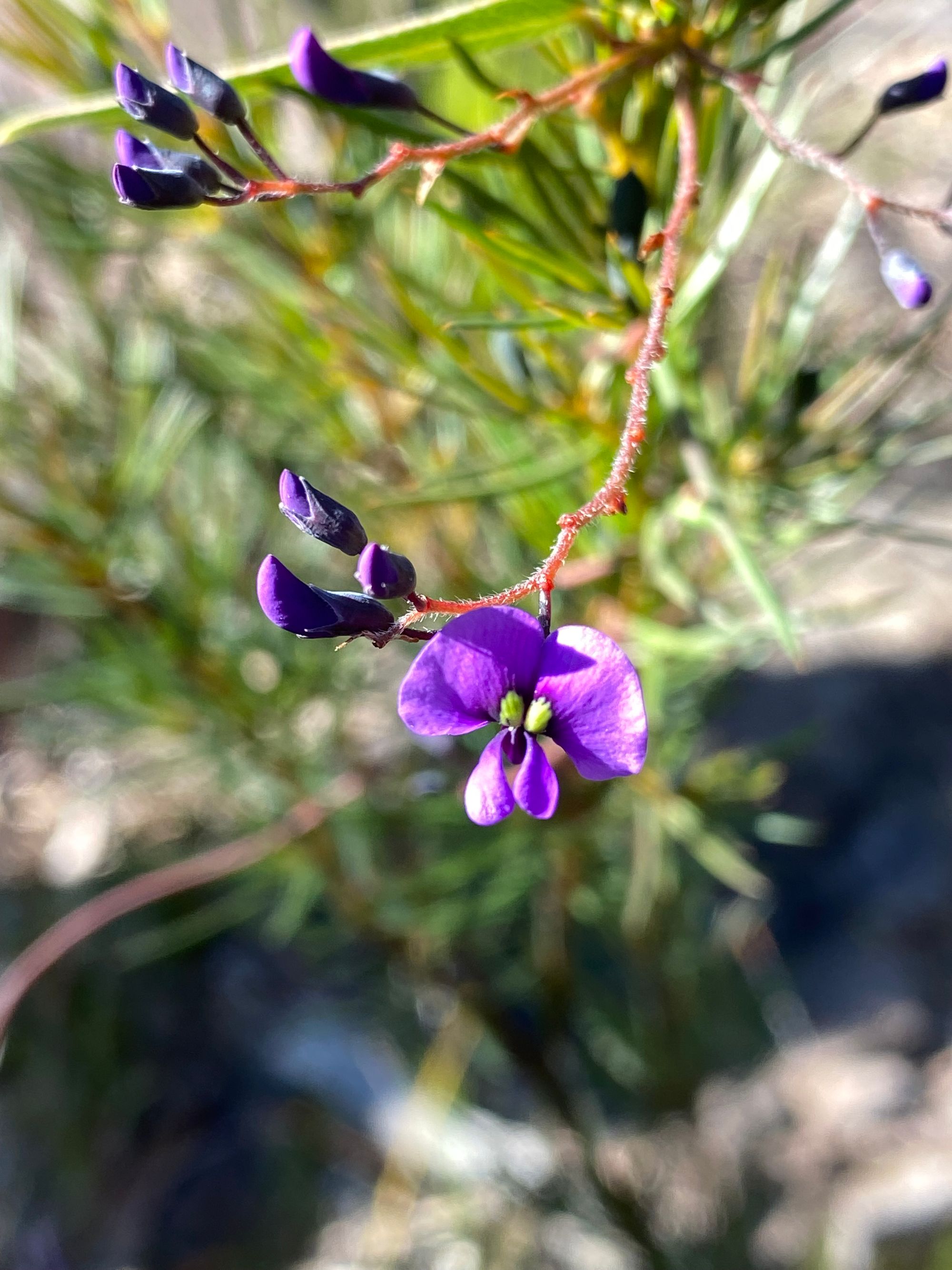
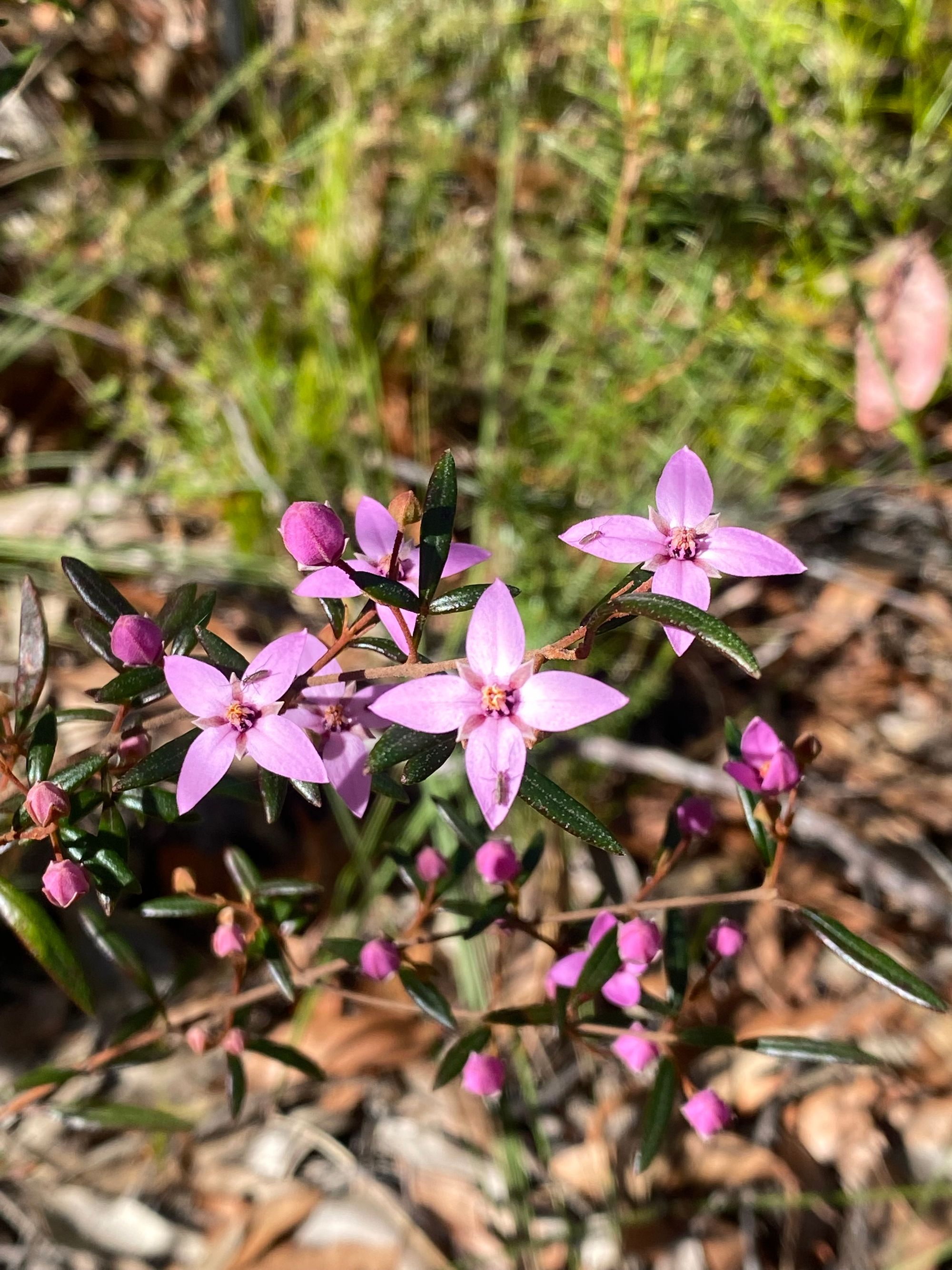
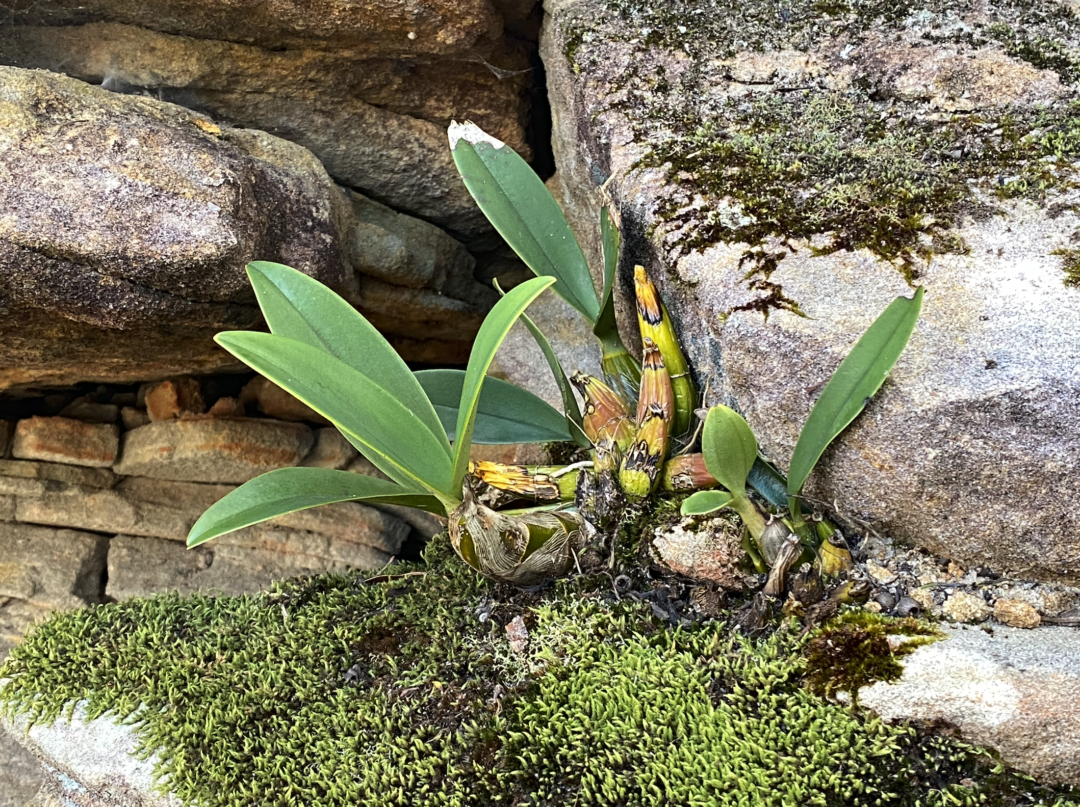
As I walk along, I notice the bush is alive with flowers. I start to count Wattle species. I’d end up counting 3 types of flowering wattle species by the end of the walk. I also find a small carnivorous plant with sticky prongs that I assume capture tiny insects.

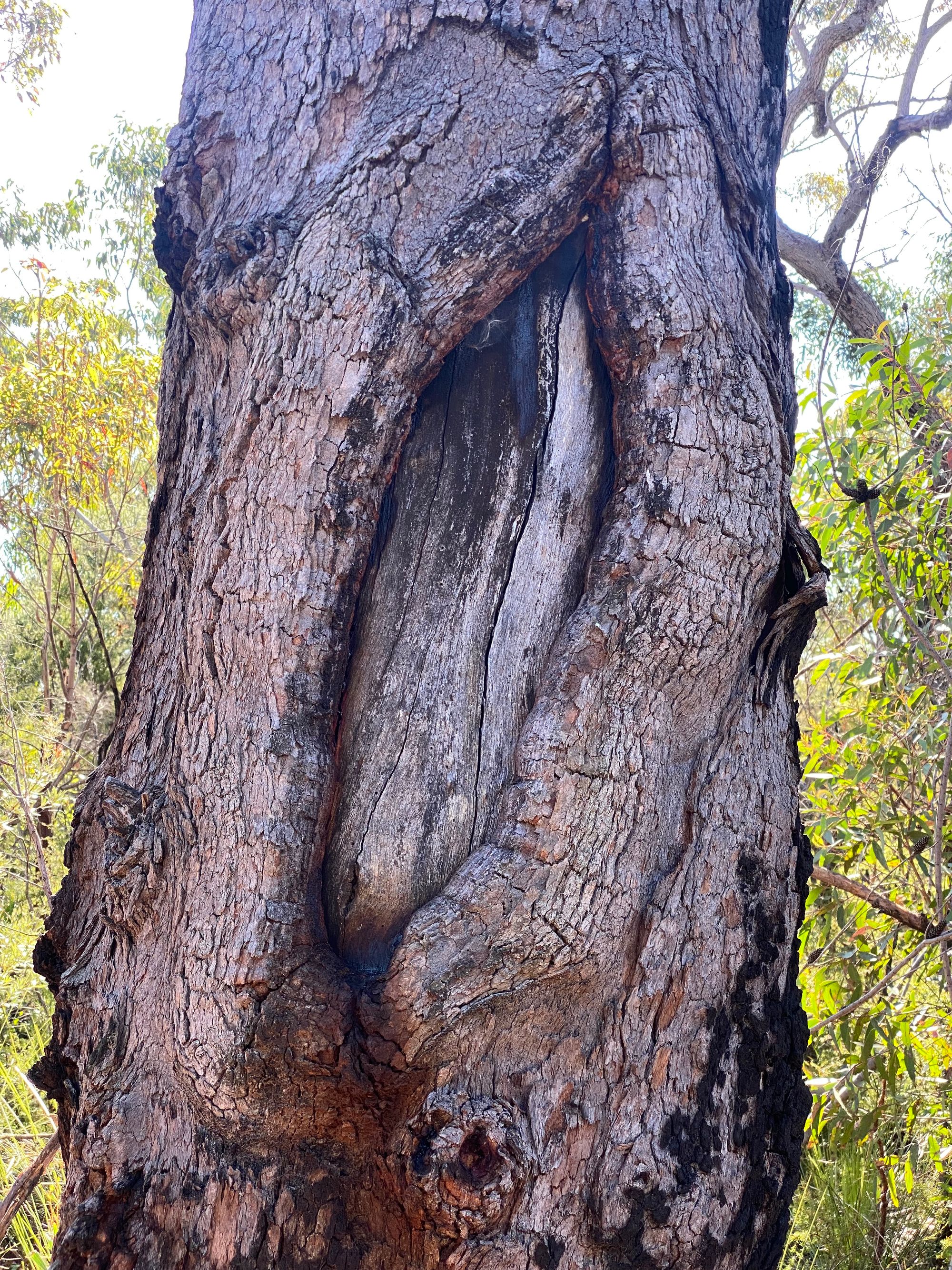
I pass an Aboriginal scar tree. It’s a small one so maybe it was used to create a shield or a coolamon. There is an NPWS sign marking the site.
After about 2 km I take a side trail that runs along the ridge (236837). I slow down walking this part of the trail taking in all the flora around me and soaking up the warm winter sun.
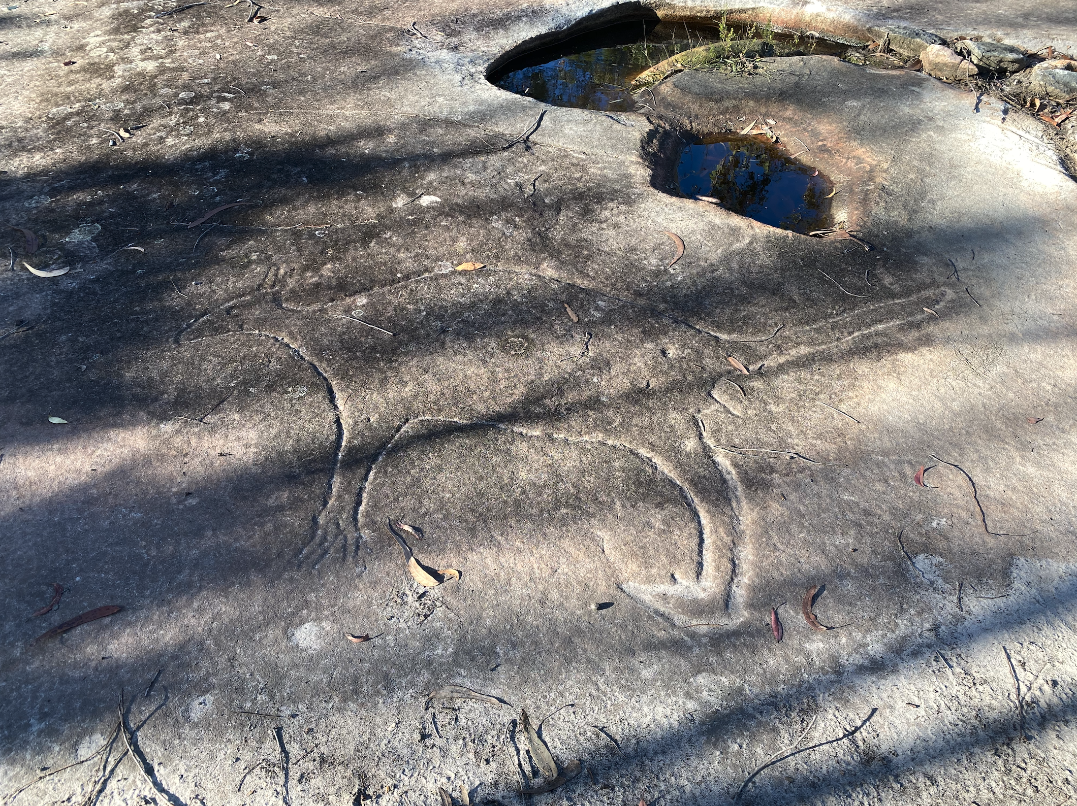
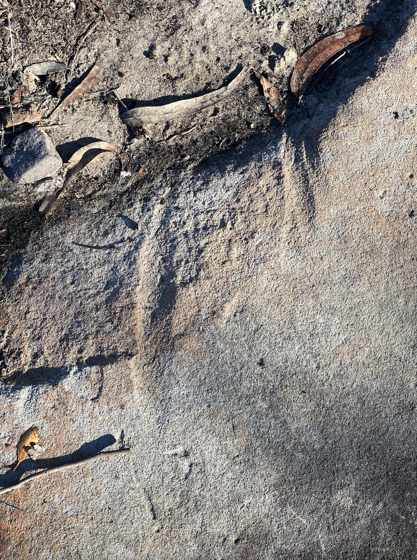
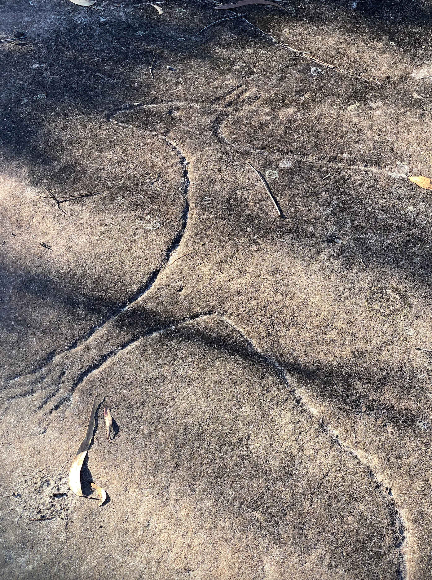
After a while, I find a stunning Aboriginal engraving of a kangaroo. It’s not known exactly what these engravings were used for. Some experts think these "increase sites" were used to hold ceremonies to increase a type of resource depicted in the engraving. It blows my mind to know these engravings are about 5000-7000 years old. On the way back over this engraving site the sun cast a shadow that illuminated two potential spear-sharpening grooves next to rock wells that I had missed earlier.
I continue along the defined trail. I’m curious about a small side trail marked on my map heading east. I’m curious where it goes. I assume it’s a lookout. I get the coordinates of the side trail and use my GPS (Inreach Mini) to get my current UTM coordinates. I can’t find the trail and decide to try and intercept it with a bearing. I set the bearing on my compass and head off track. After about 100 meters I get to a cliff which I cannot descend. I then check my digital map and then realise that this side trail heads down into the valley. Maybe a way to get to the bottom of the valley. I’ll leave this for another walk.
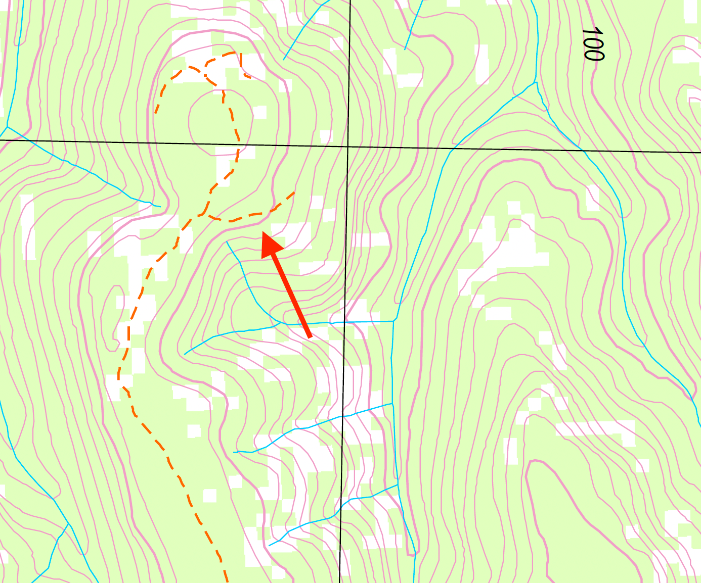
After a while, the ridge track leads to a small knoll marked with a small stone pile. It’s not a trig but made by other walkers over time. It’s here that I have lunch on a rock ledge and go over the map for the next part of the walk. To get to the Trig station I need to go across a valley. I plan to walk along a saddle marked on the map. After lunch, I spot a small cairn that indicates a possible way down the rock ledge that I’m on. I follow the cairn down the rock ledge. At the bottom, I set a bearing on my compass to get myself to the saddle. After about 200 meters I see some pink tape in the trees indicating that there may be a trail. After a little while more there is indeed a faint path. In sections, it’s very overgrown. I decide to stick to this cairn-marked path. It’s tricky at times to pick up the path as the pink tape cairns have faded to white. I see the path takes me to the bottom of the saddle.
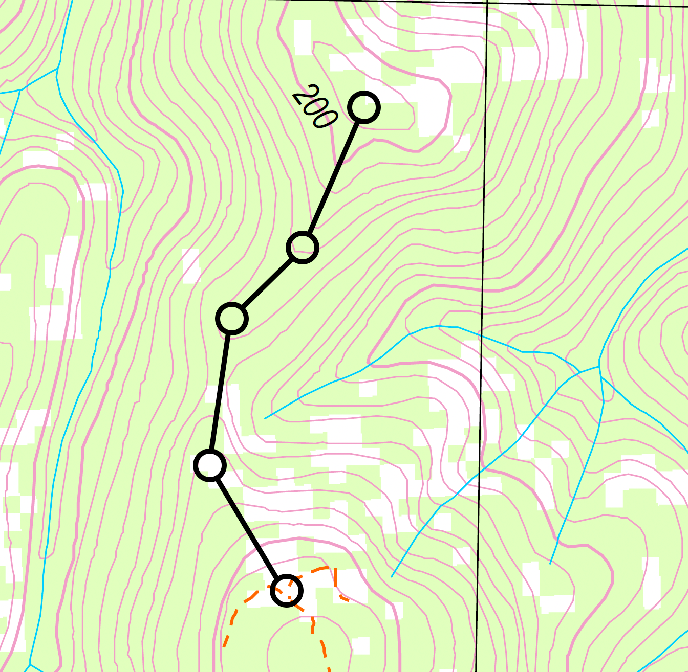
The bush up to the Trig station is quite nice and many rock ledges scatter the landscape. I finally get to TS1507 COBA. It’s a cone-shaped trig station and great to see it’s in good shape after 128 years.
After a little break, I explore the knoll and discover more pink tape cairns that head northwest down a spur to Coba Creek. I follow them for a bit and confirm it’s a route and return to the trig. Not today. I later find out that this is an off-track route to Marramarra Creek Orchard Camp down on Marramarra Creek.
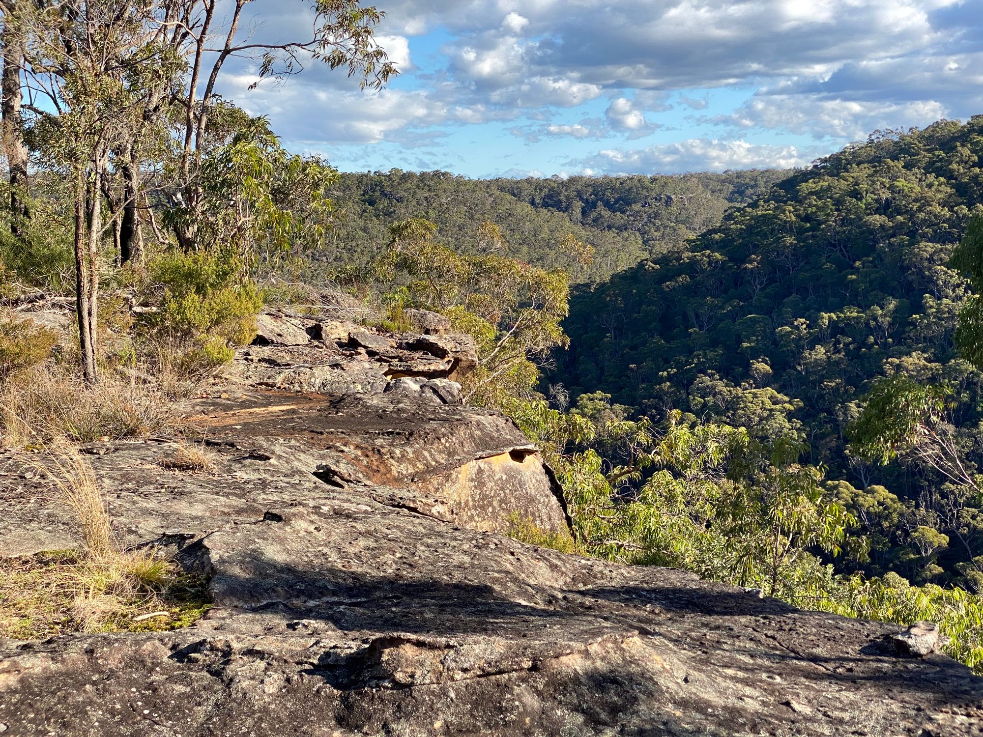
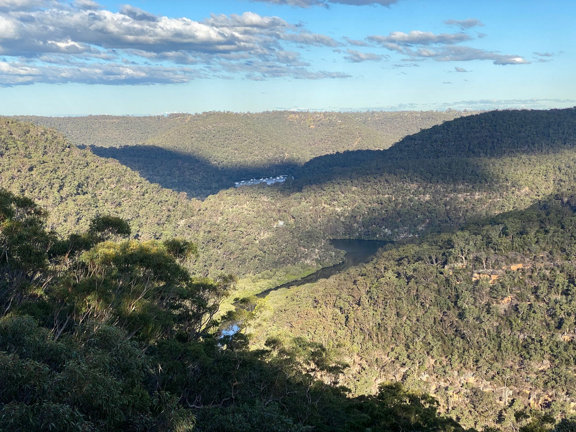
After visiting the trig and a little exploring I head back in the direction I came back to the Neverfail Trail. I decided to quickly visit the first lookout along the Neverfail trail (238830). There are stunning views of Calabash Creek and Berowra Creek from this lookout. After this, I head back to the car. It's a great bushwalk with a little bit of everything throughout the day.
Map: Cowan 9130-4N, 1:25k