Mt Hay, Hay Monolith & Butterbox point

So I planned to walk the Lion's Heads Ridge track. Unfortunately, the access road had been blocked for the ultra-100 ultra marathon when I arrived. Unfazed, I quickly looked for an alternative trail around the Grose valley. I found some tracks online near a mountain I spotted from the Mount Banks walk on the opposite side of the valley. Happy with what I found, I set off for Butterbox Point. After arriving at the car park, I'm already confident that this could be a gem of a bushwalk.
There are two short bush walks at Butter Box Point. Mt Hay and Butterbox Point, which includes Hay monolith. There is also a canyoning track down the Butterbox canyon. I decide to walk to the top of Mt Hay before walking to Butterbox point.
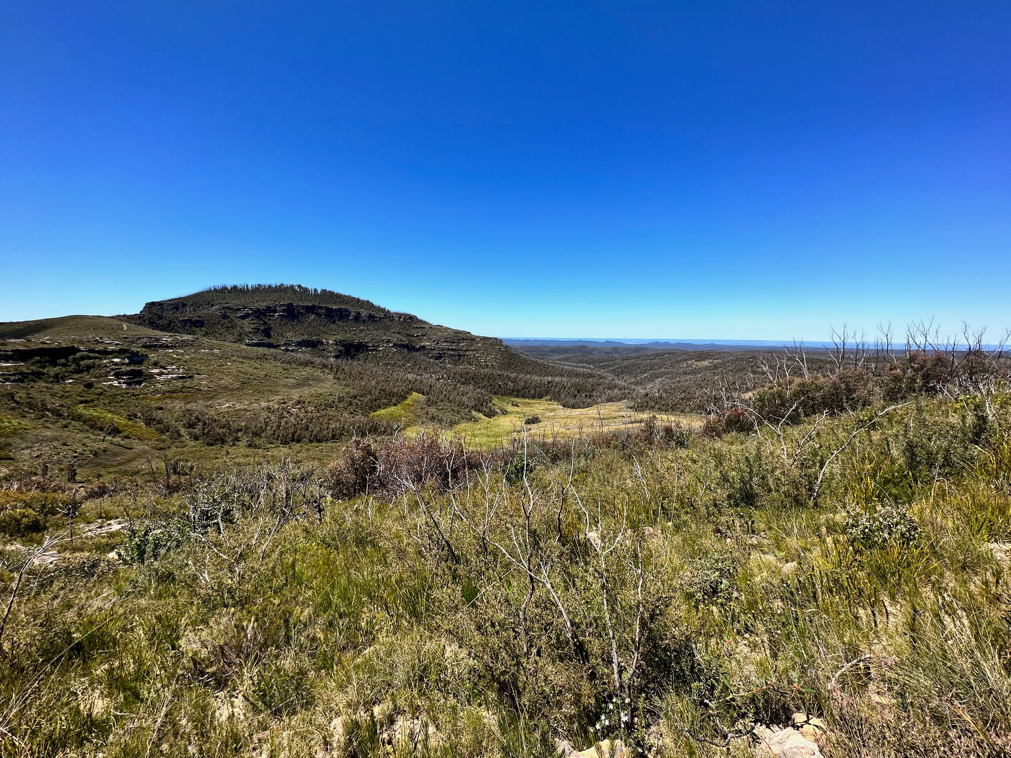
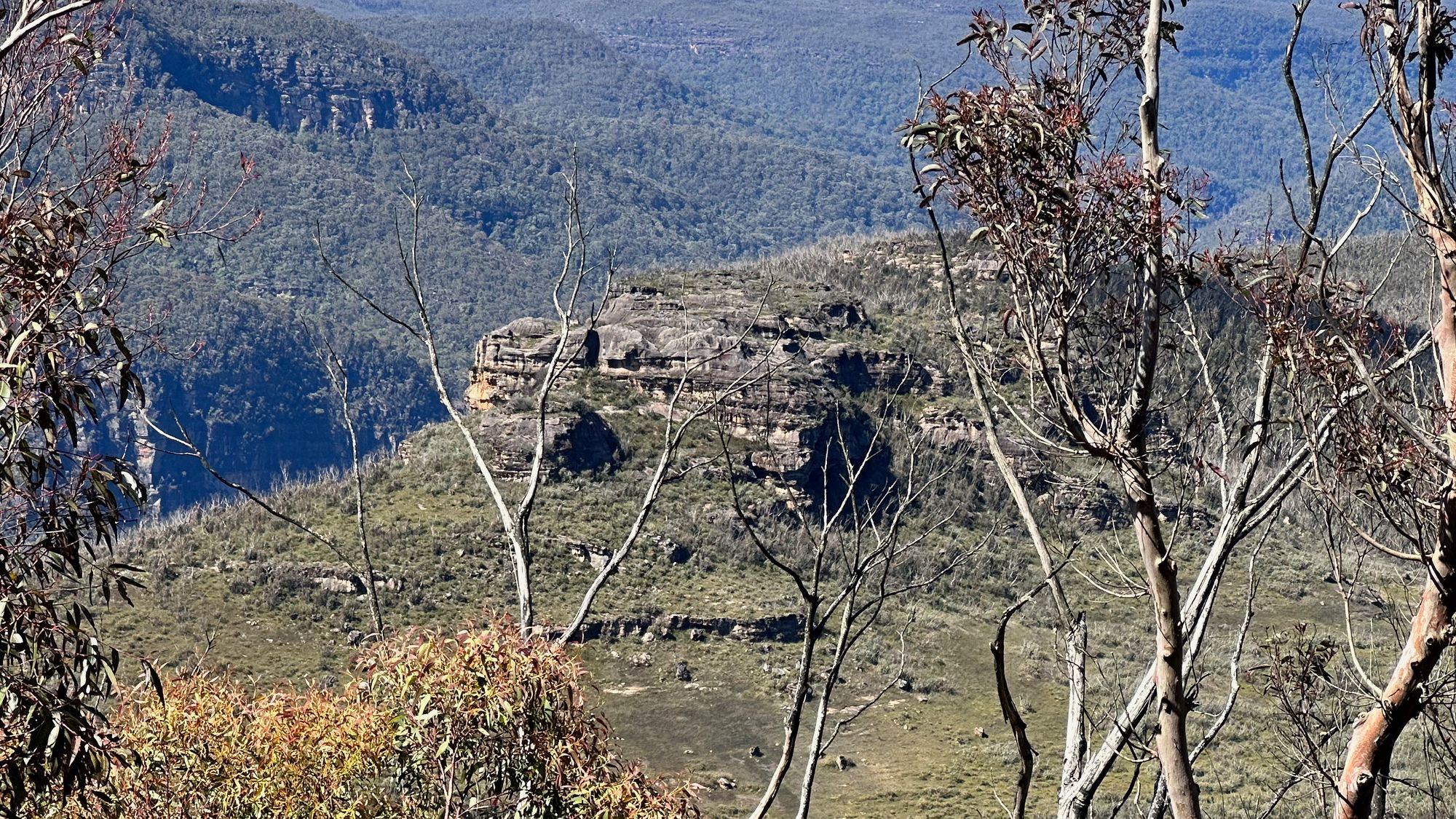
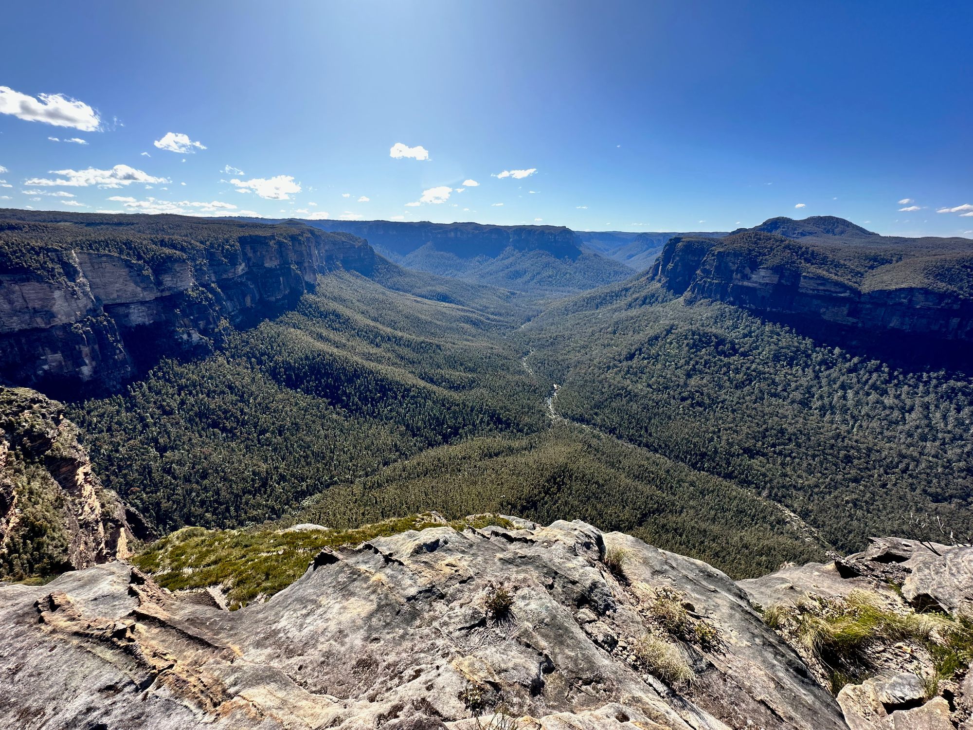
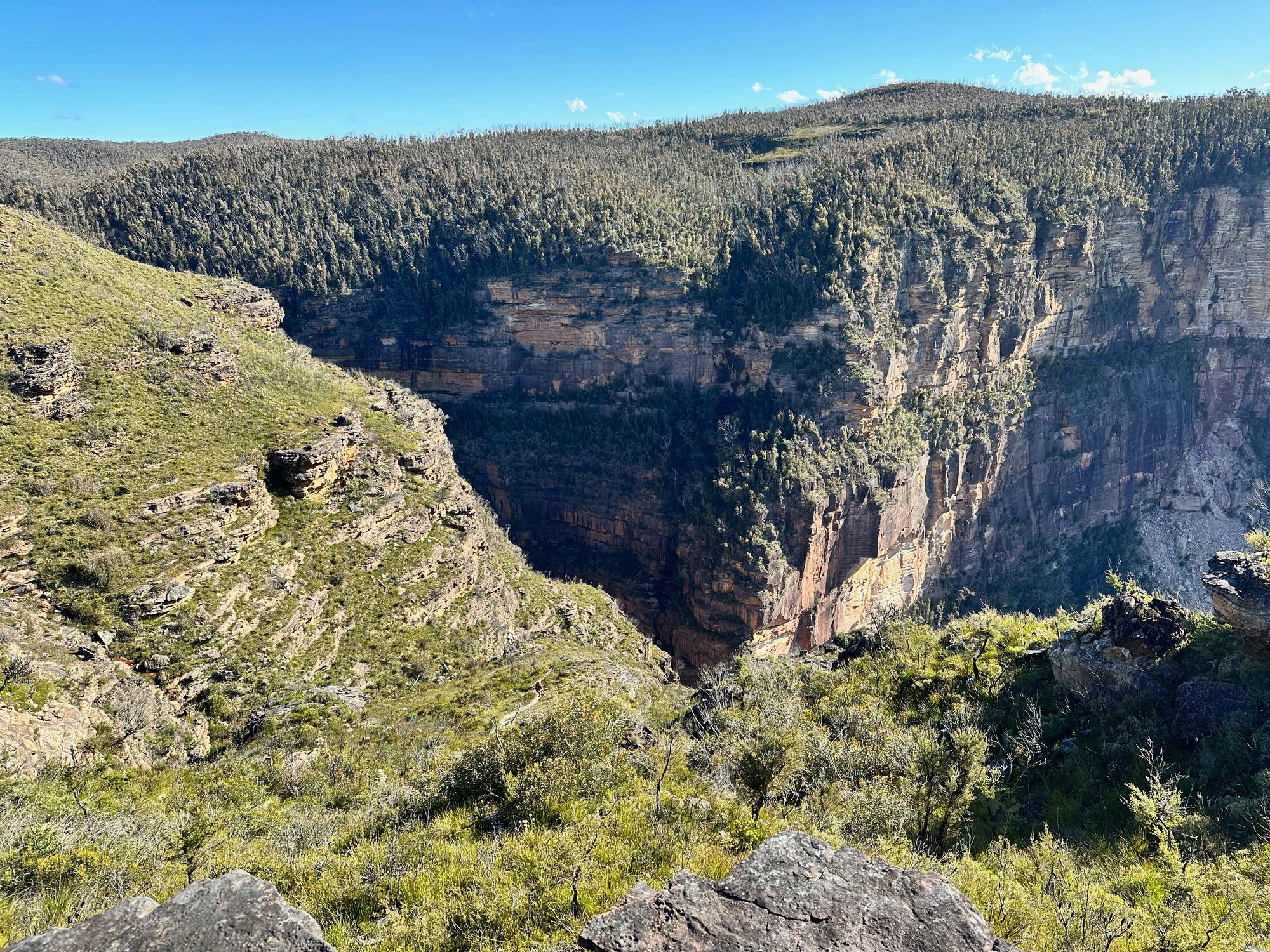
The views and vistas are amazing as soon as I start the walk. For the majority of the walk, I can see where I'll be walking due to the lack of trees and the height of the trails.
Walking to the base of Mt Hay follows a well-defined short trail and requires a little scrambling near the mountain's base. The views from the base of Mount Hay are amazing. You can see right along the Grose Valley. There are also a few nice rock structures.
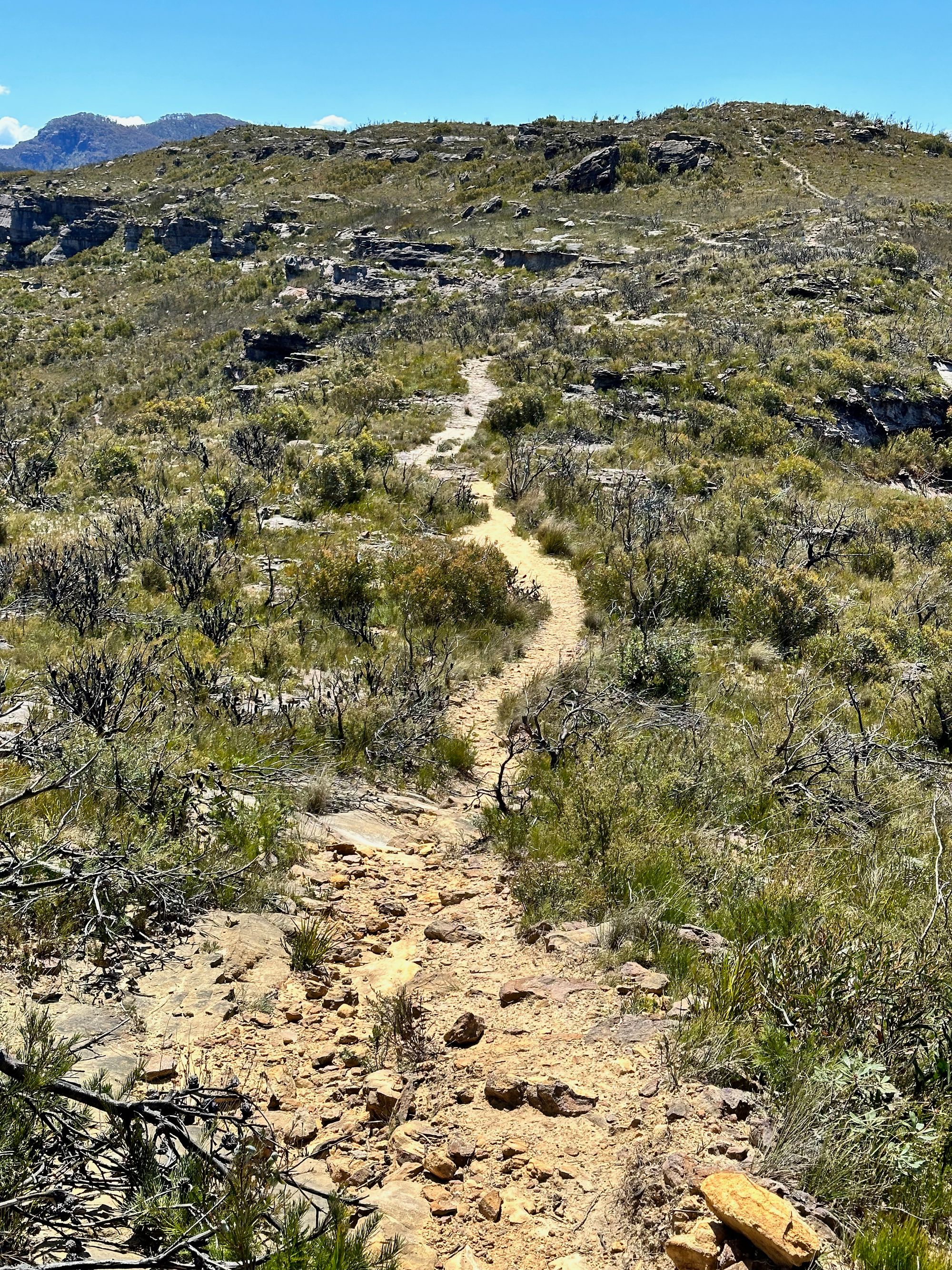
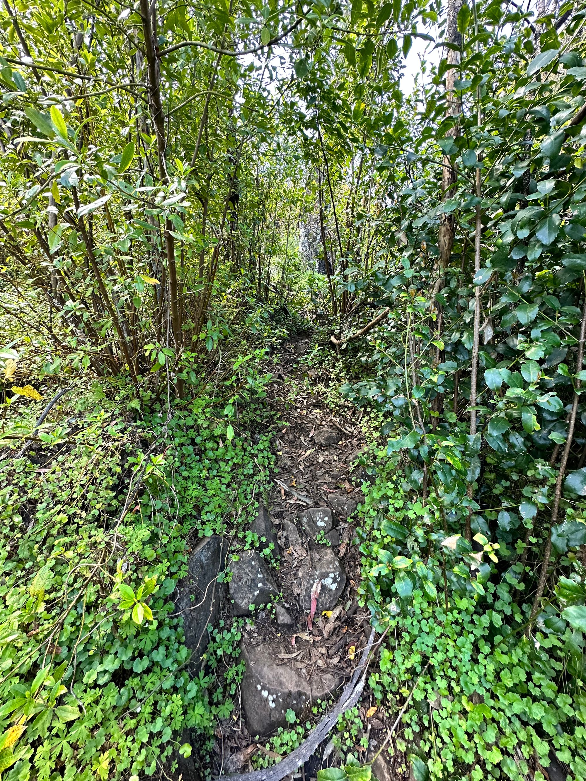
As soon as you start the ascent to Mt Hay, the trail is engulfed by thick jungle-like bush. This is due to a recent bushfire. It will take a decade or two before this bush returns to normal. I finally reach the summit, where I find the trig station (TS2445 HAY). I see the trail continues to Venus Tor and decide to check it out. I follow the overgrown trail before my map shows the trail goes off the cliff edge. I follow the cliff line for a bit and spot Venus Tor. after this, I backtrack to the car park. A little more research will be required before I tackle that walk.
Before I get to the car park, I follow a track that heads towards Butterbox point. I walk along one of the headwater swamps. I find some water flowing up and out of the ground on the trail. The water can't pass through the claystone on this headland, so it percolates back up to the surface and forms these peat swamps.
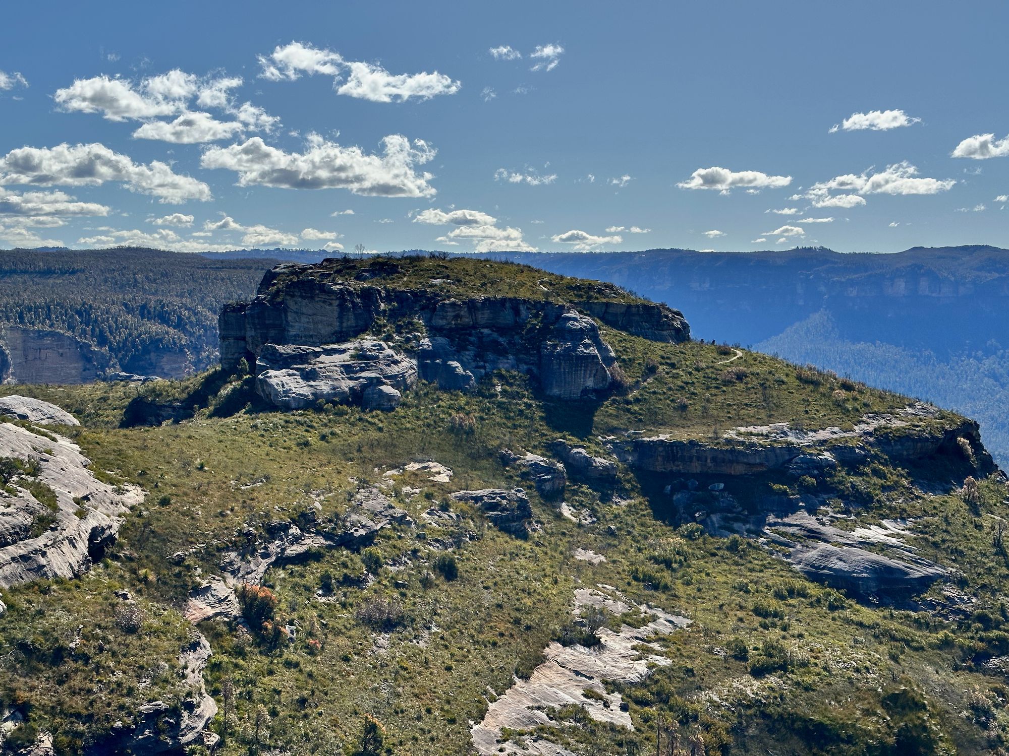
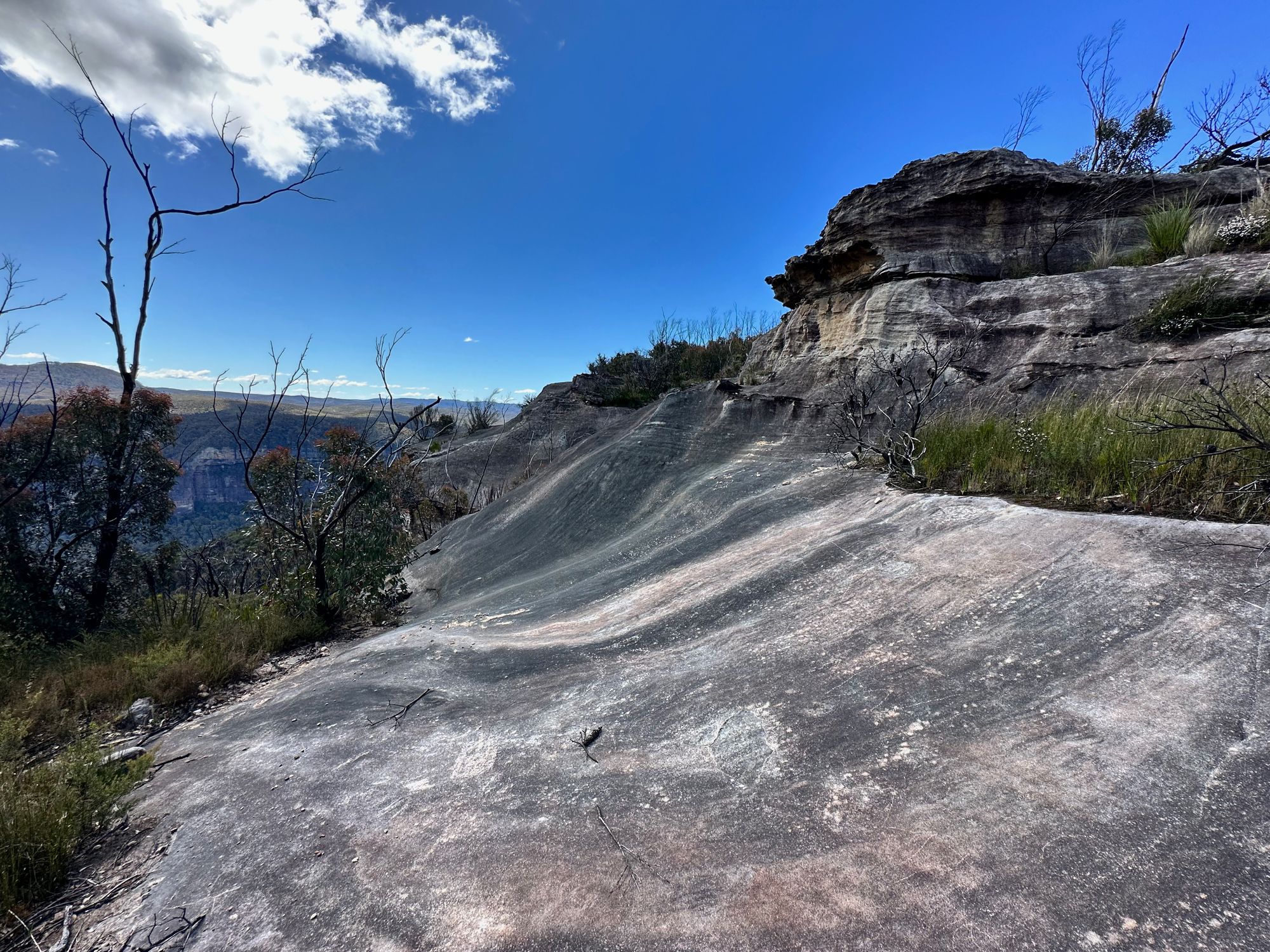
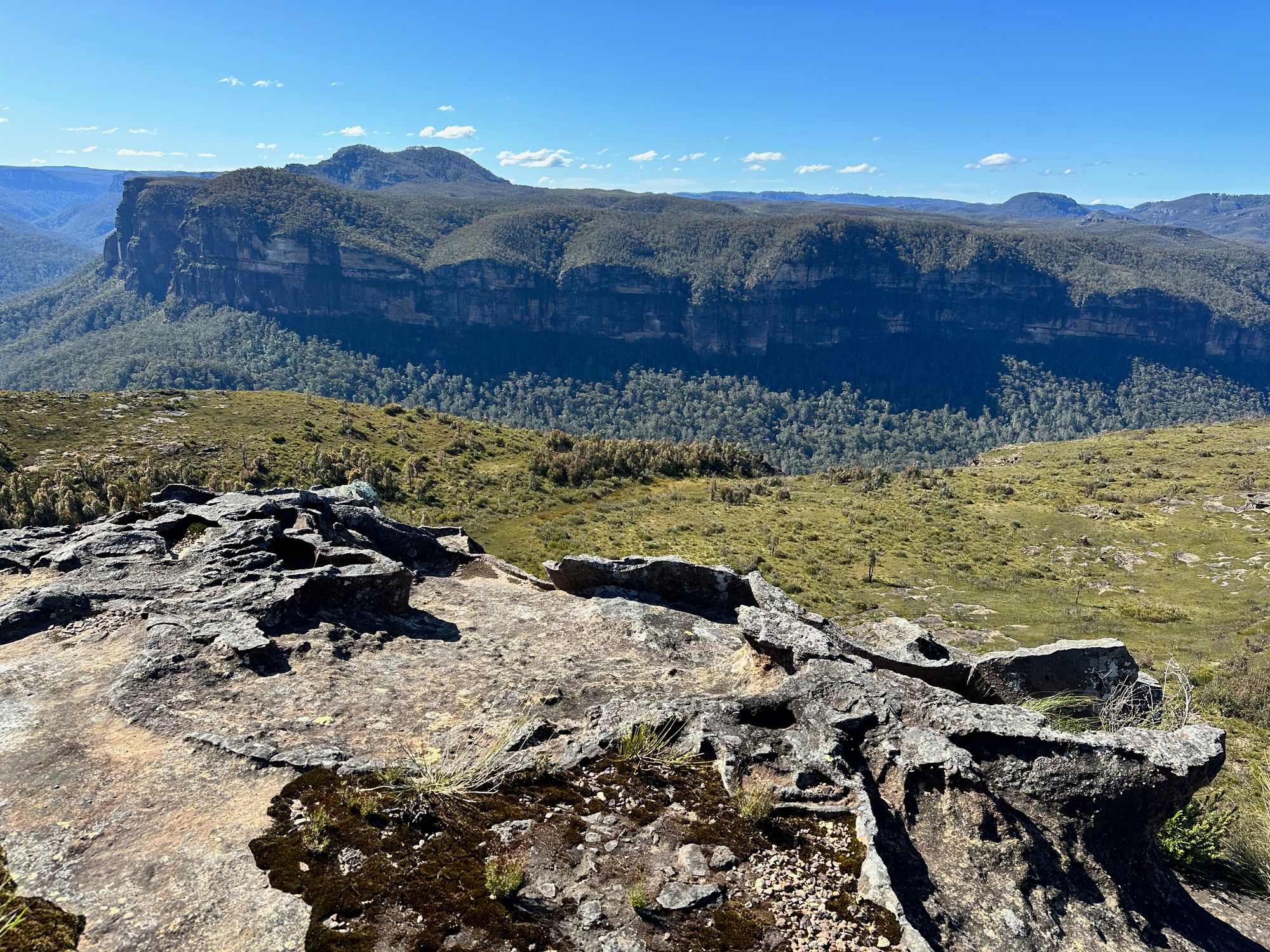
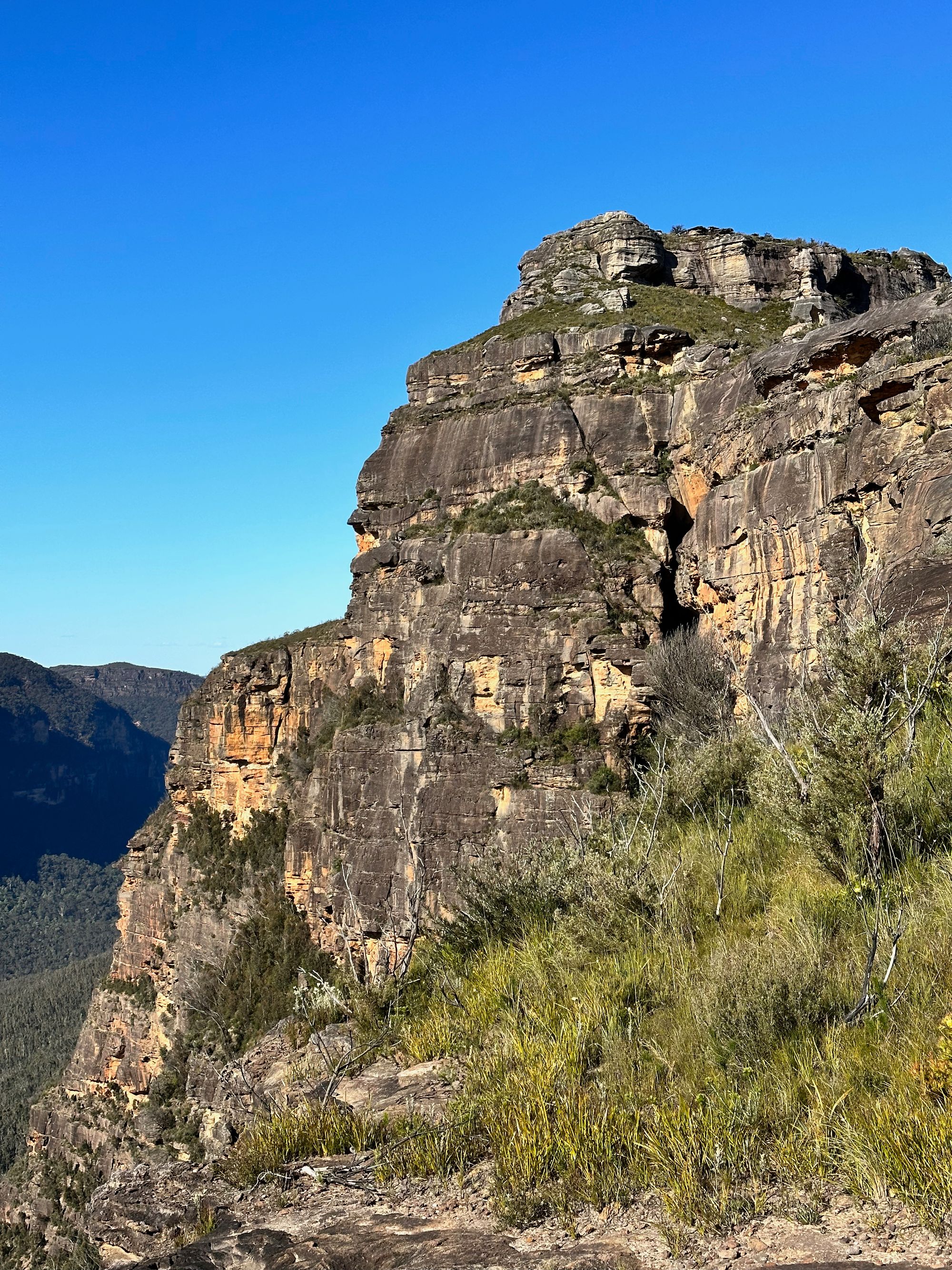
After walking along a wet, swampy trail, I arrive at a large rock shelf with spectacular views of Hay monolith and the Grose valley.
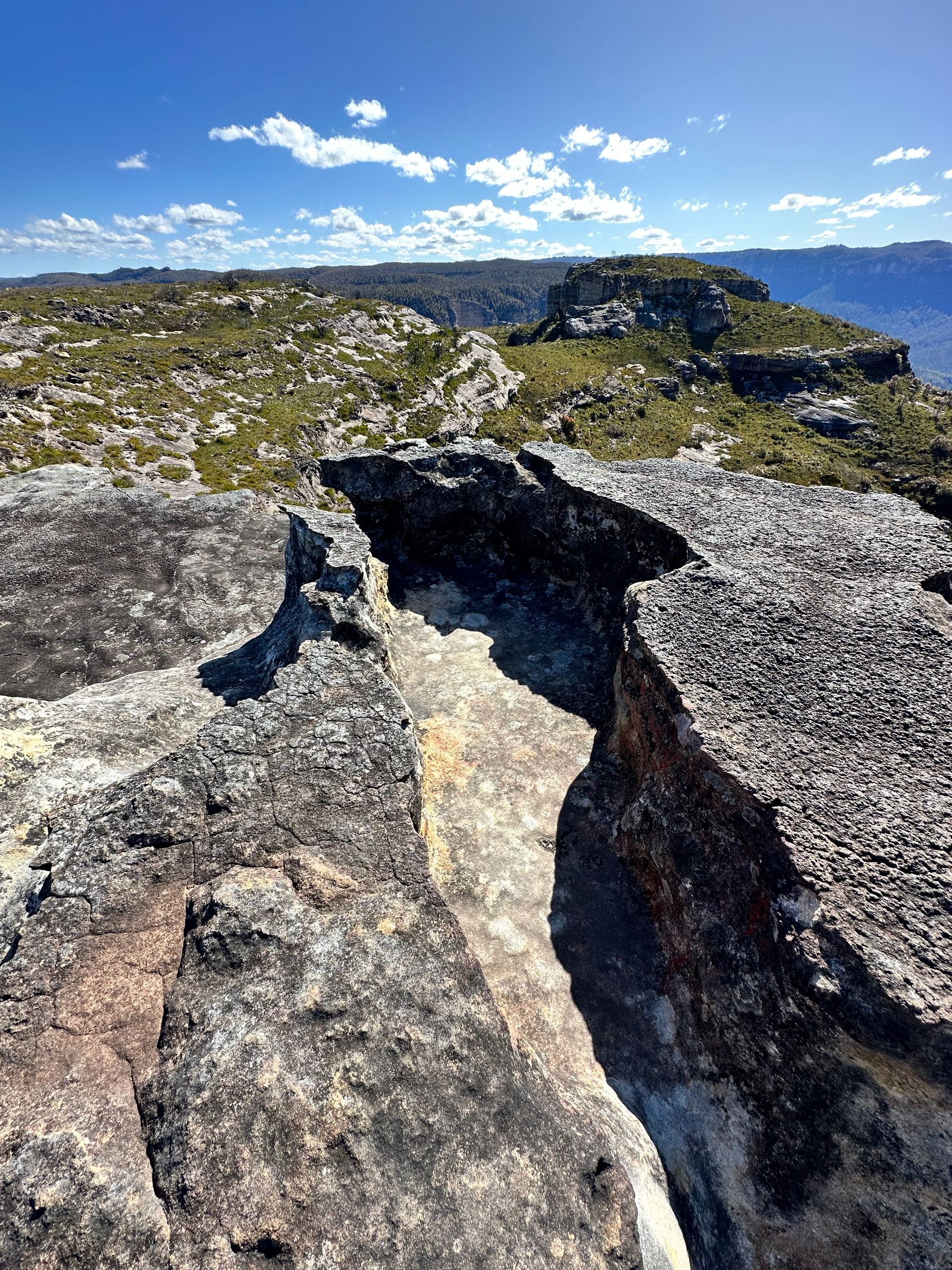
I find a large rock crevice that is a perfect seat. It would be a great photo spot.
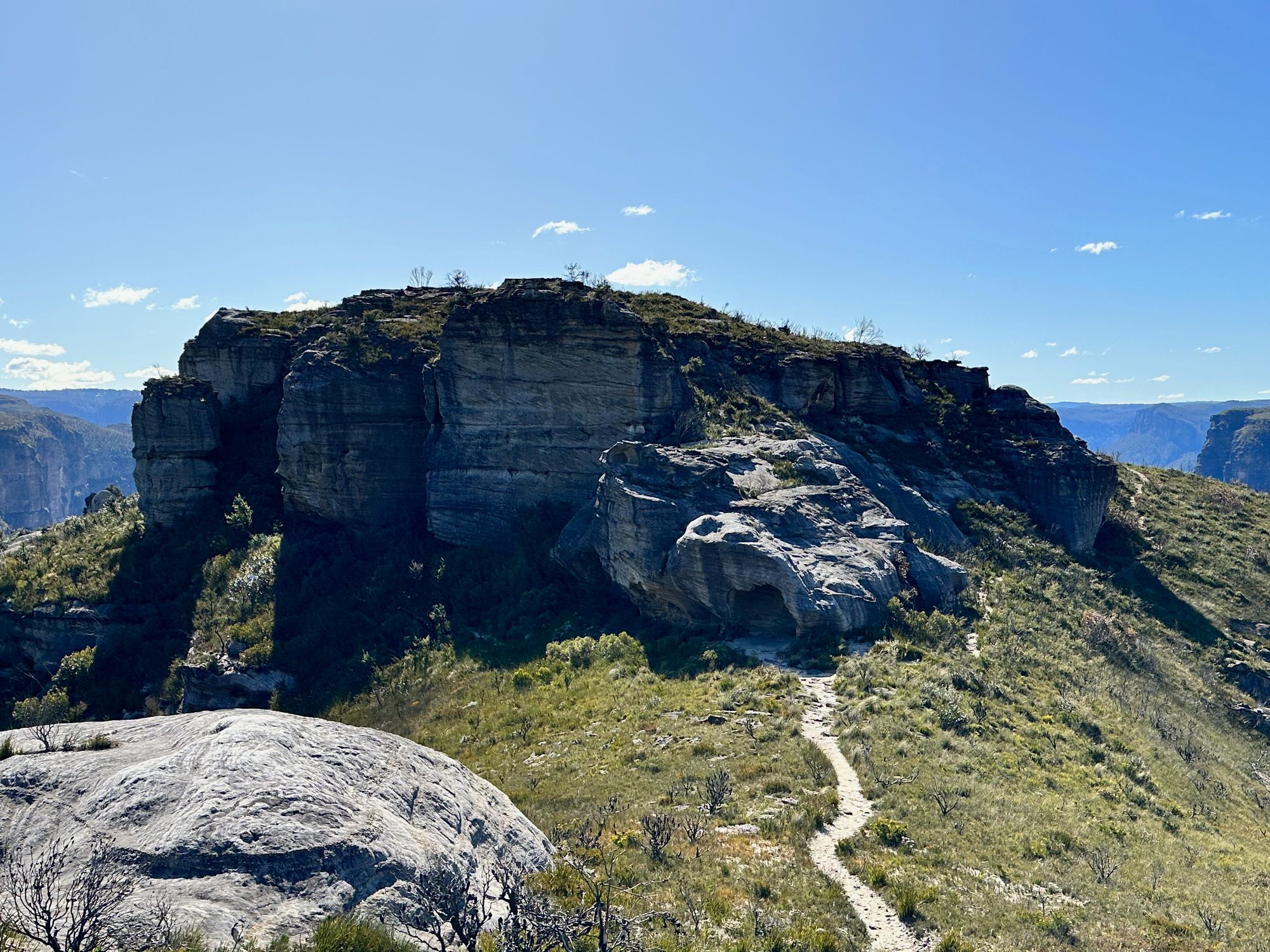
I arrive at Hay monolith, where there is a small cave. I continue to walk around and up onto the monolith. The wind has picked up, and it's incredibly windy. I work my way back down and around the narrow and exposed path around the point. This would have been safe if the wind wasn't blowing a gale. I grab some rocks on the narrowest part to ensure I don't blow off Mount Hay Wall.
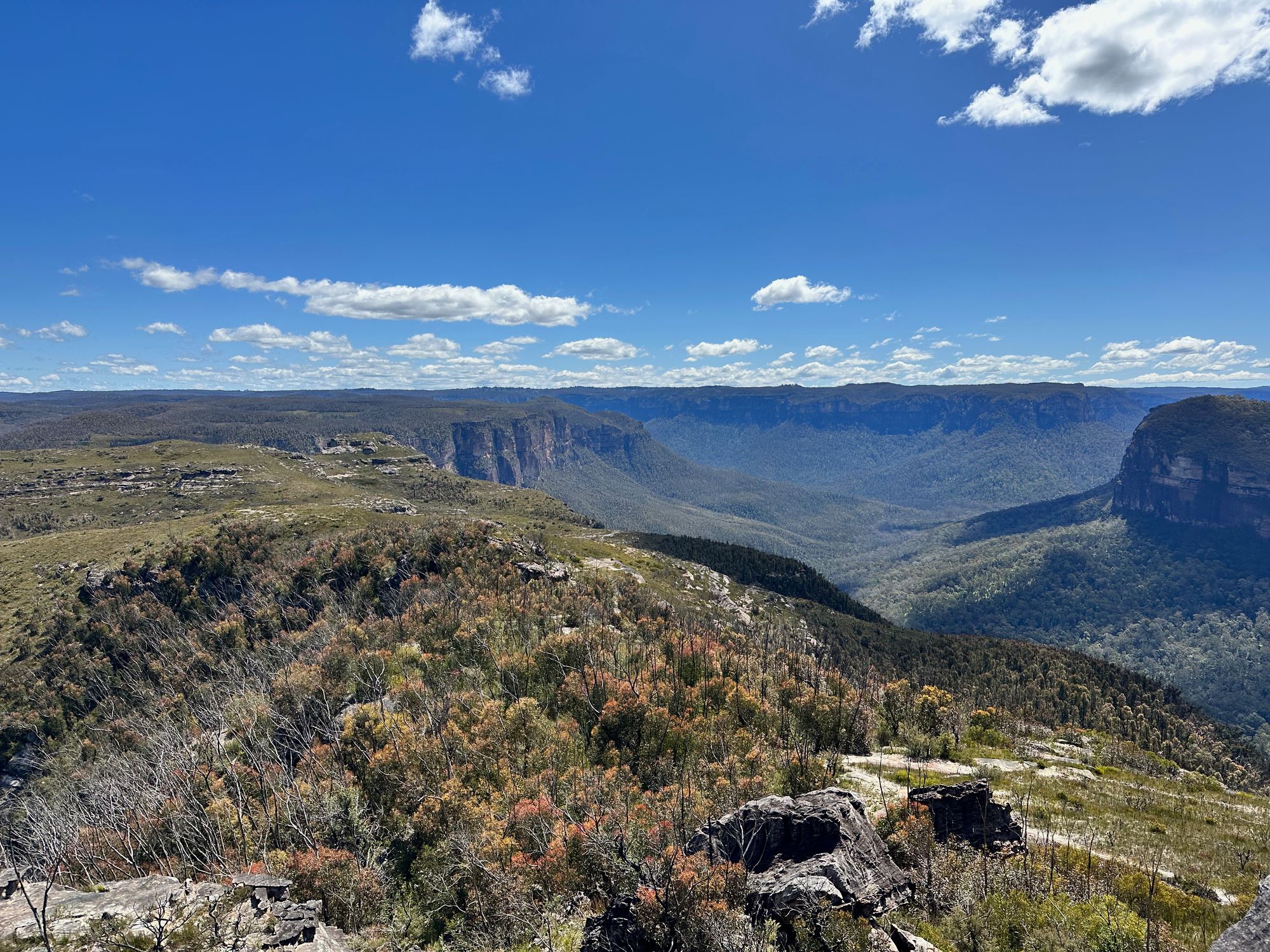
I continue down to Butterbox point, where you can see the Butterbox canyon. After this, I slowly head back to the car.
This is one of the more spectacular walks in the blue mountains and one that I will be walking again.