Mount Banks Summit Walk
This walk retracing the steps of explorer George Caley has amazing views.

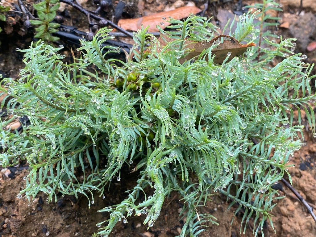
I decided to hike one of the more popular walks in the blue mountains as it was raining and I knew the rain would keep the crowds away. Hiking in the rain can be quite enjoyable if you have good wet weather gear and water tight shoes. Also after a downpour or drizzle, wildlife comes out to eat all the insects.
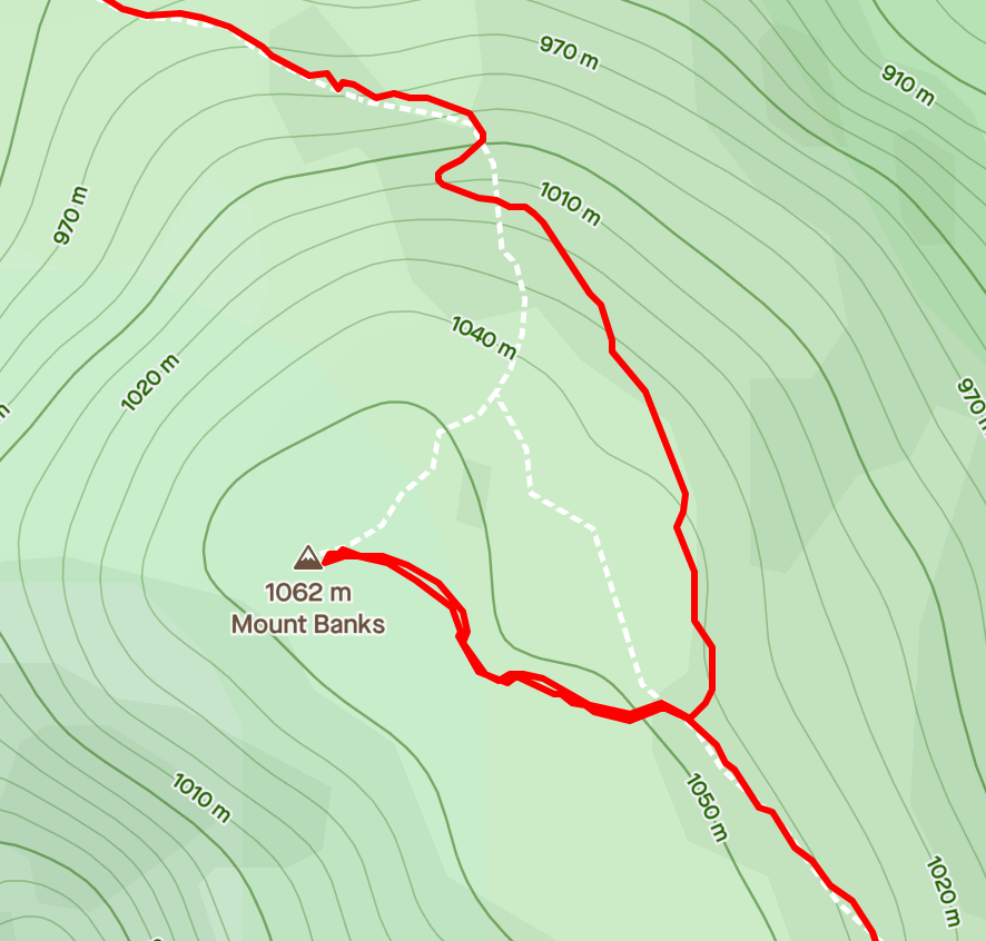
The main walk here is the Mt Banks loop walk. I started this with the walk up to the Summit. At the sign in the car park take the trail behind the sign on the right. After the loop walk, I plan on doing the the fire trail along the cliff line.
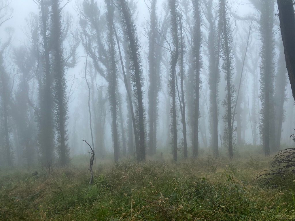
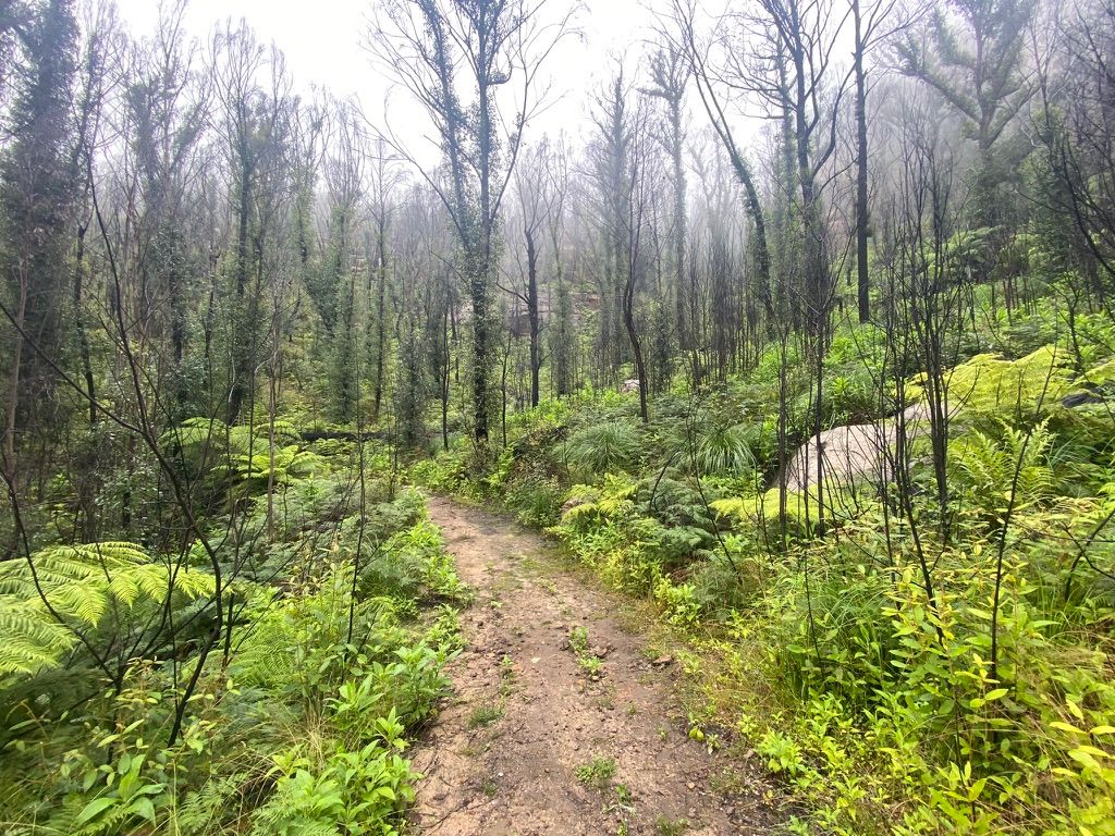
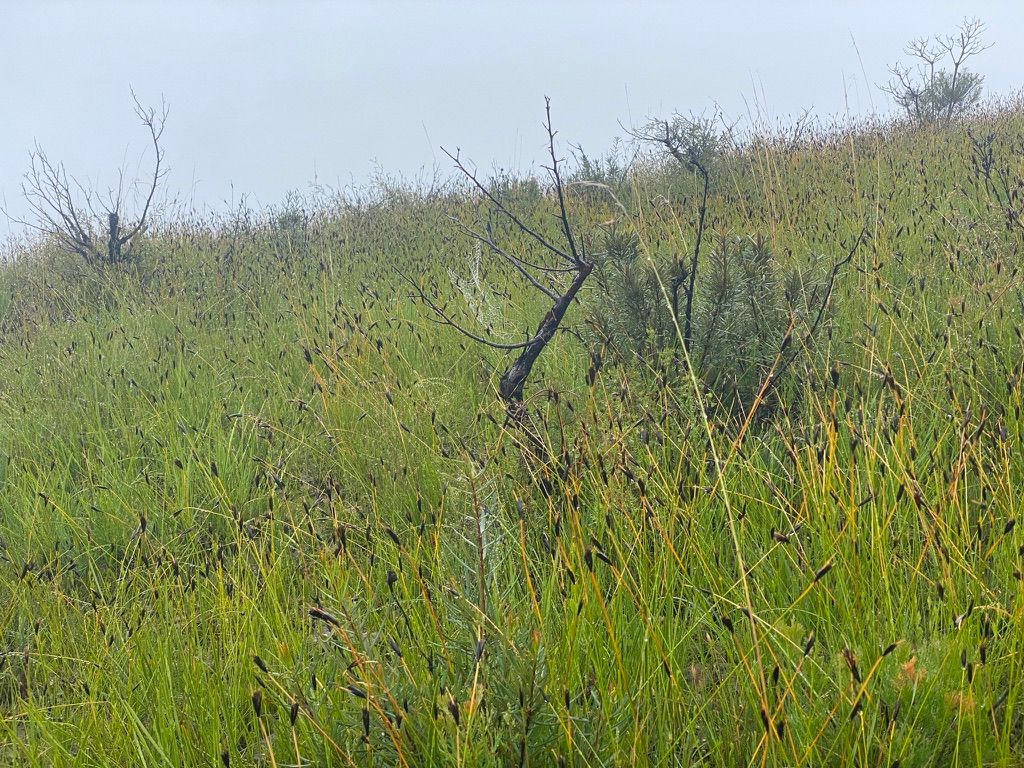
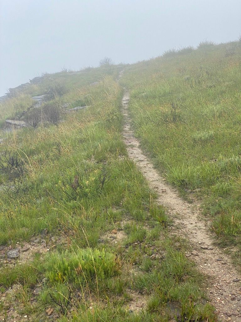
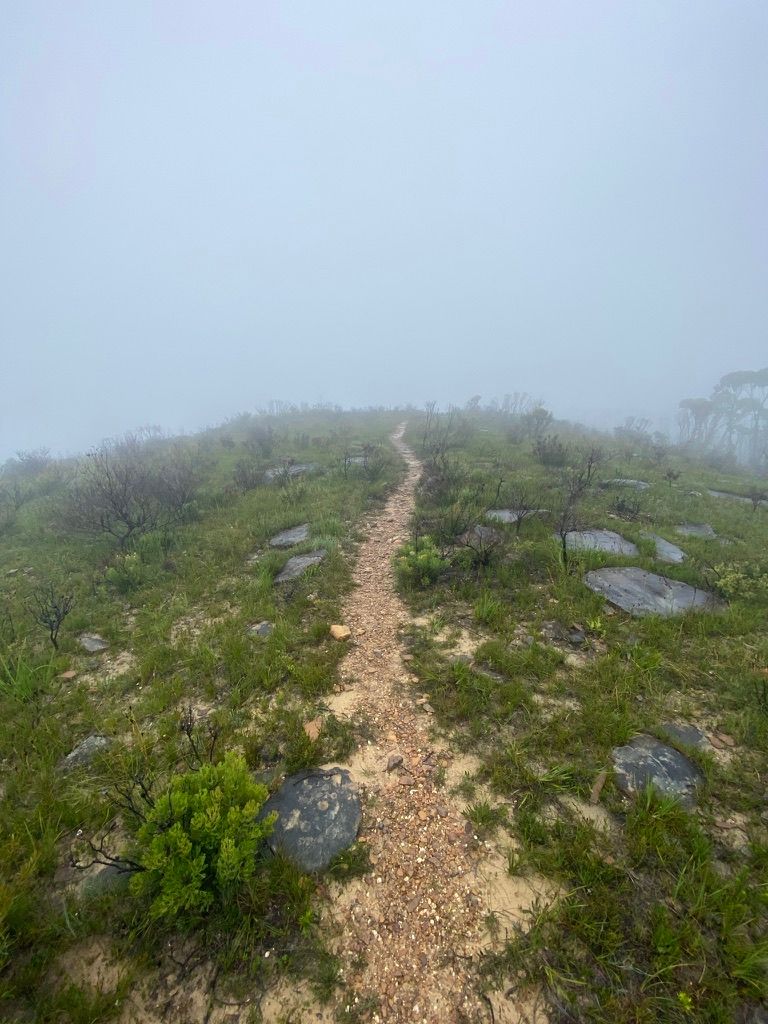
The fog created quite a magical feeling on the way up to the summit. Mount Banks is only 1,049m high. With the fog, it felt a lot higher.
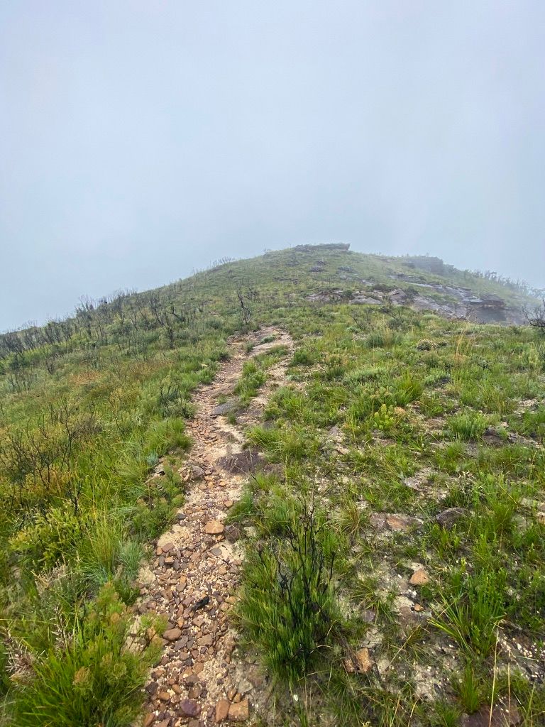
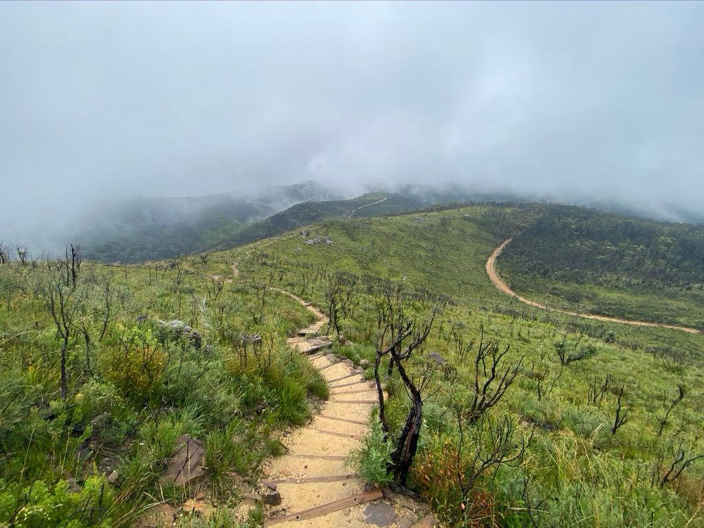
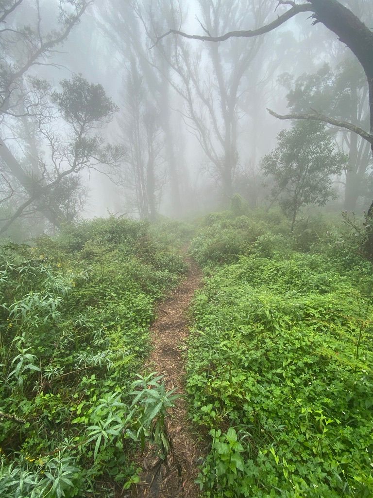
The damage from 2019-20 was visible for the entire walk. Everything seems to be regrowing with many trees dead. The steps up to the summit were burnt and have been replaced. Only a few burnt steps remain. An alternate walking track to the summit has also been recently created. You can see in the map below where the new track is. At the intersection, I took the track to the right to the summit.
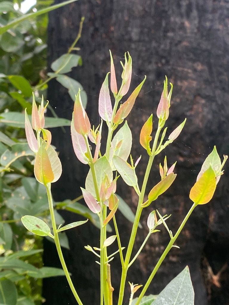
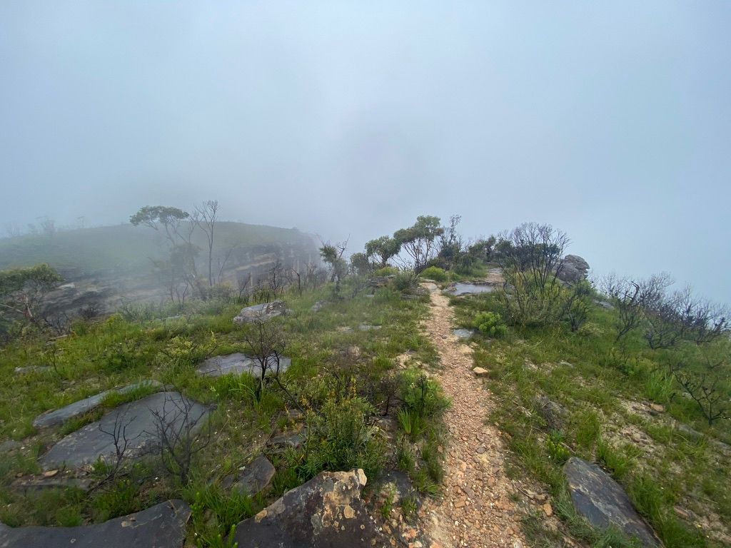
Because of the fog, there were no views apart from a misty burnt forest. There was plenty of birds in a small rain forest near the summit. It was hard to identify the birds as I could only see silhouettes, they were mostly robins. I was lucky enough to see the distinctive head of the Eastern Whipbird and later heard it.
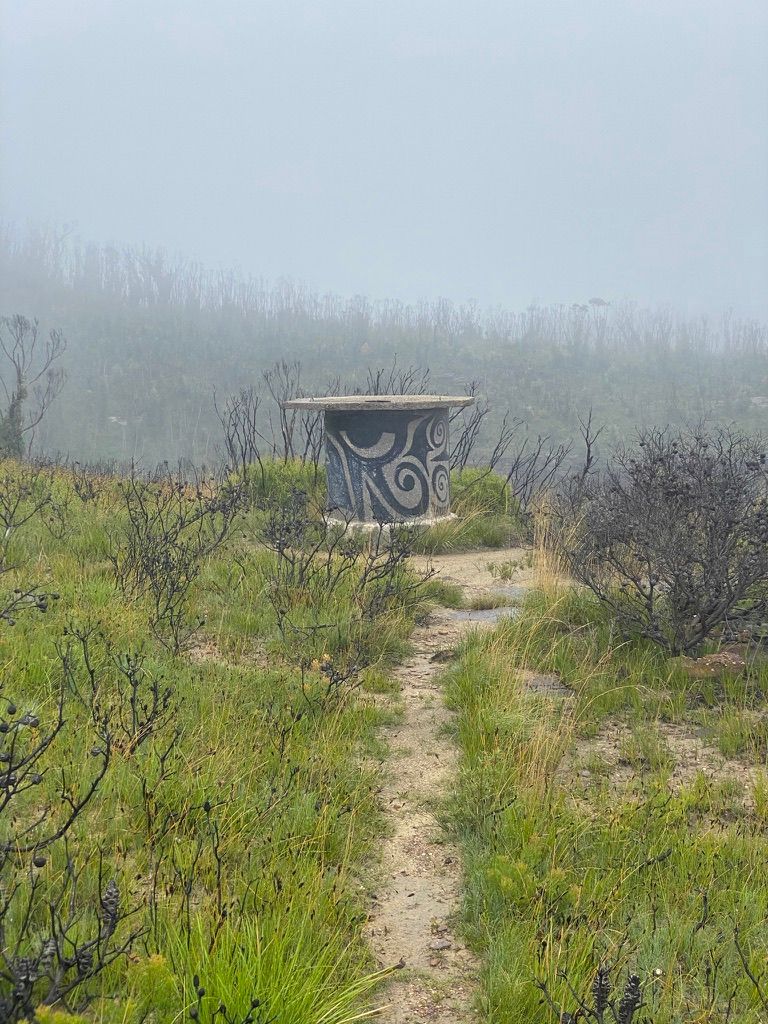
After reaching the summit, I took a photo of the trig station (TS2730F KING GEORGE) and retraced my steps back down.
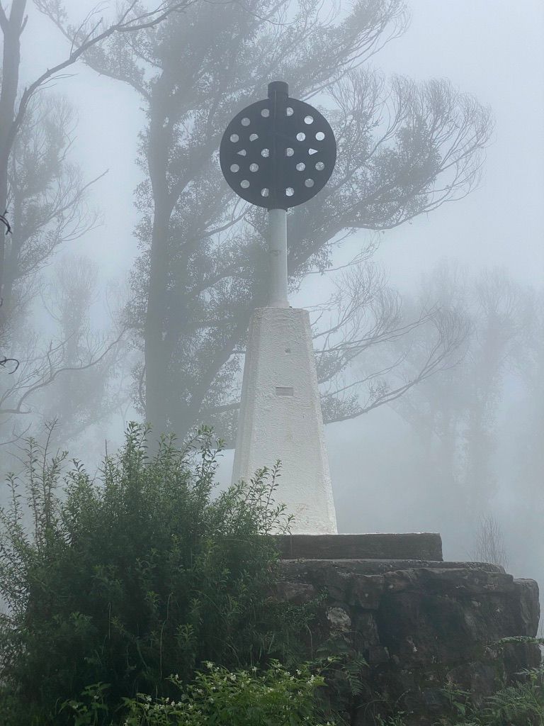
In 1804 after summiting this mountain, explorer George Cayley named it Mt Banks to honour botanist, Sir Joseph Banks, but Hamilton Hume renamed it Mt King George in 1827. The Geographical Names Board reinstated 'Mt Banks' after its inception in 1966. This is why the trig station is named 'KING GEORGE'.
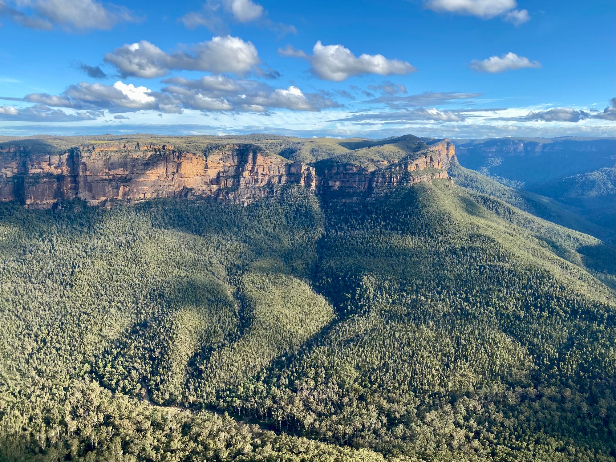
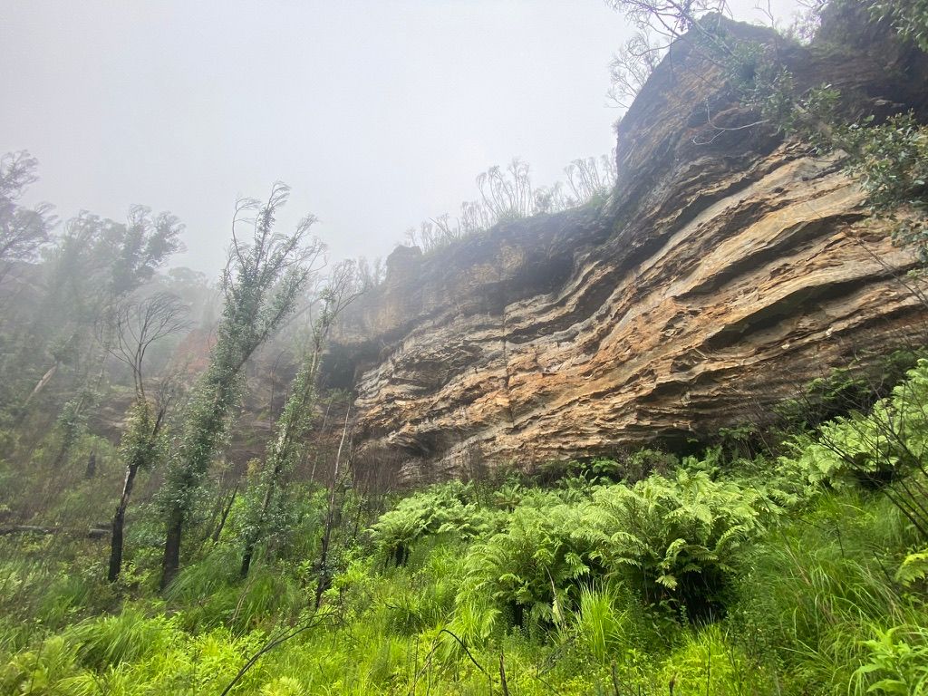
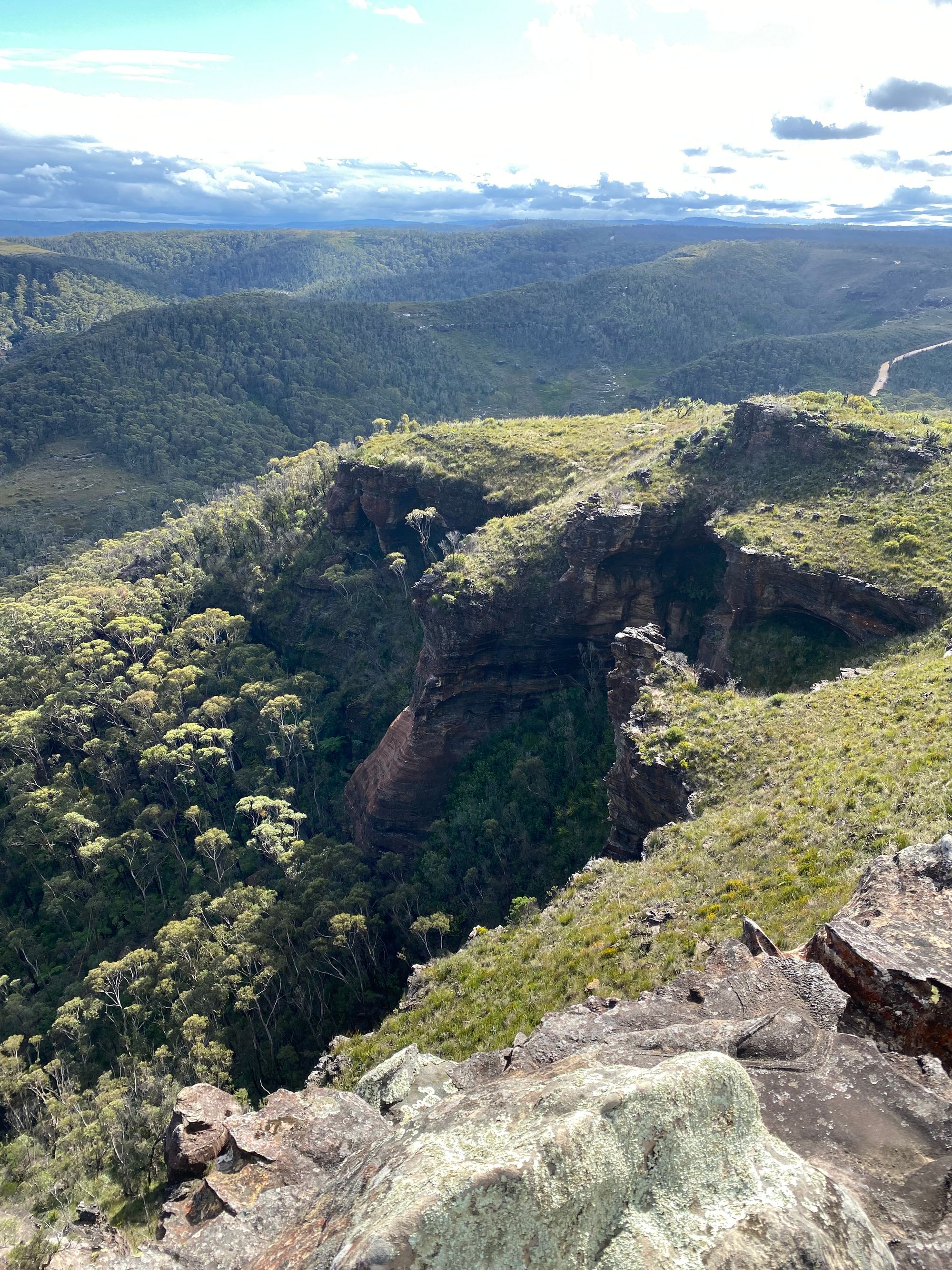
I soon made it to the fire trail and headed along the ridge. The track winds around a few gullies. You will pass a towering rock formation on your right. Before the fires, this section of the track would have been a thick forest.
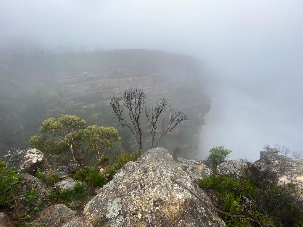
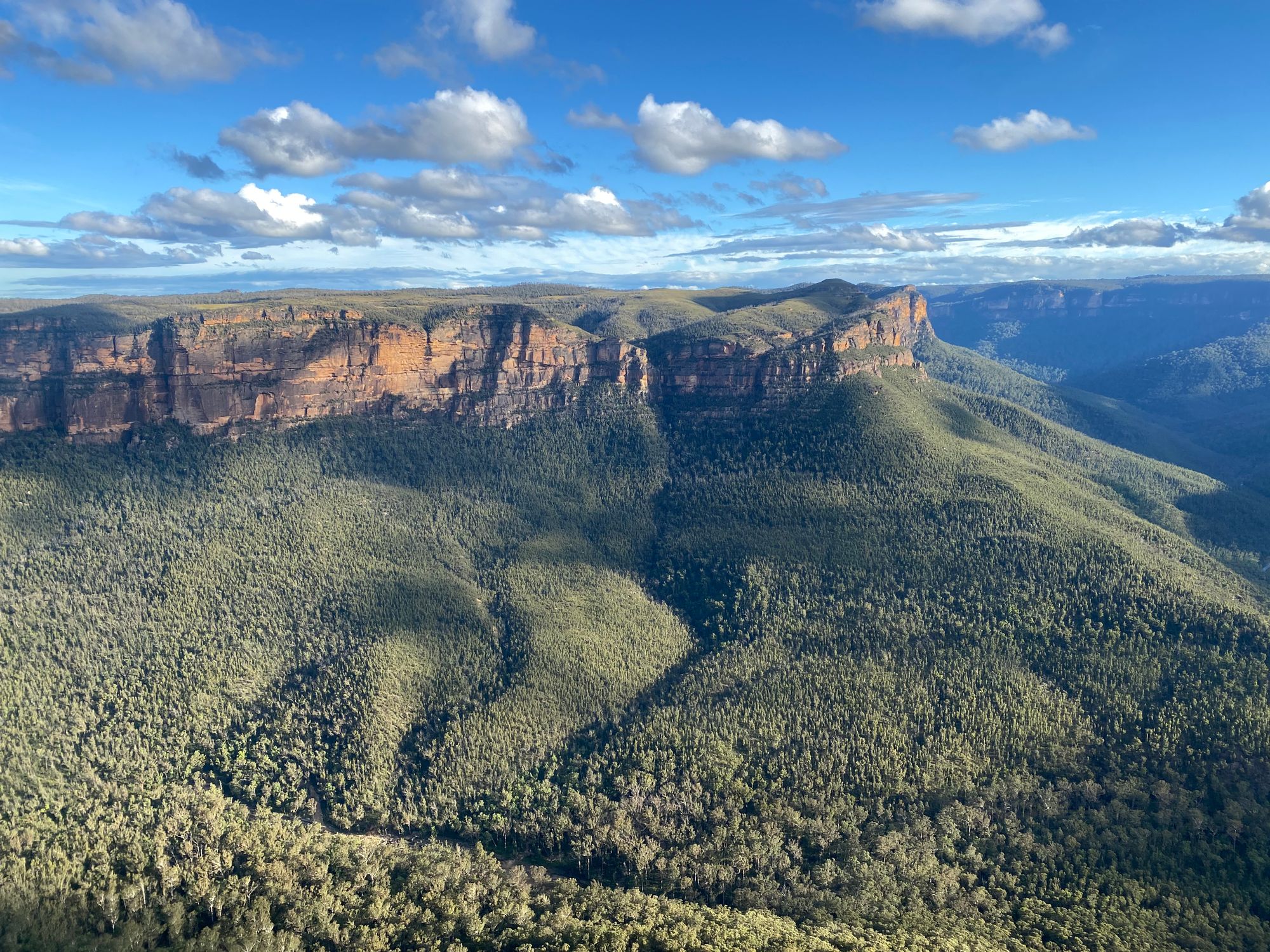
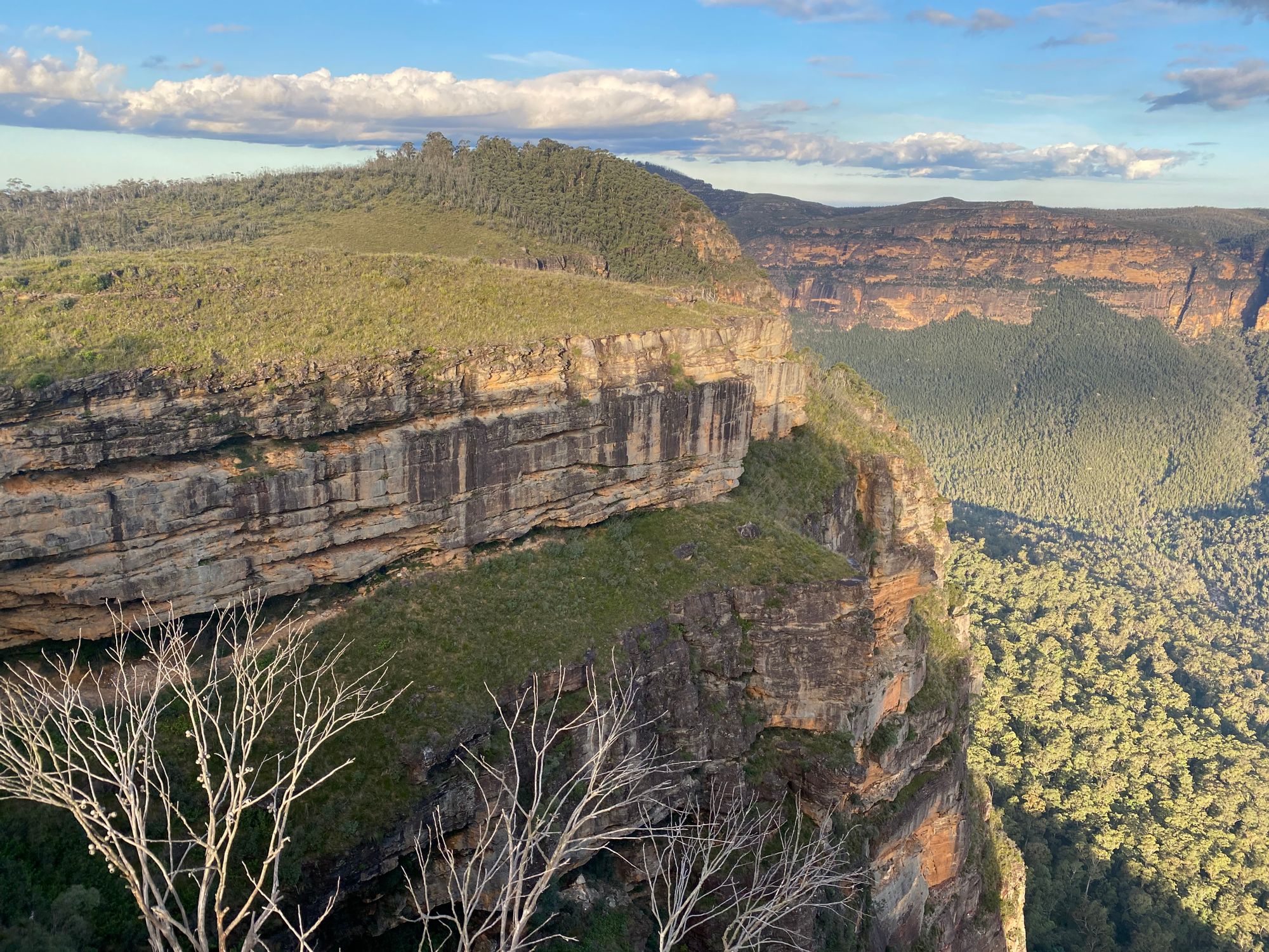
The track opens up and you will start to see some amazing vistas, even in the rain.
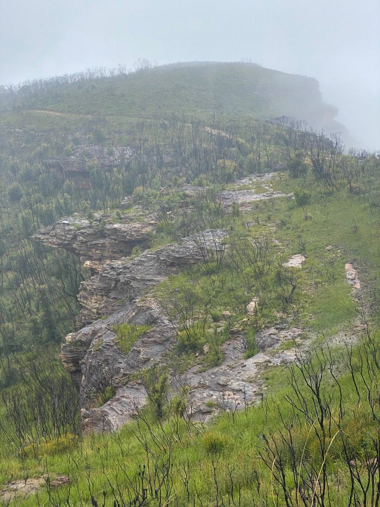
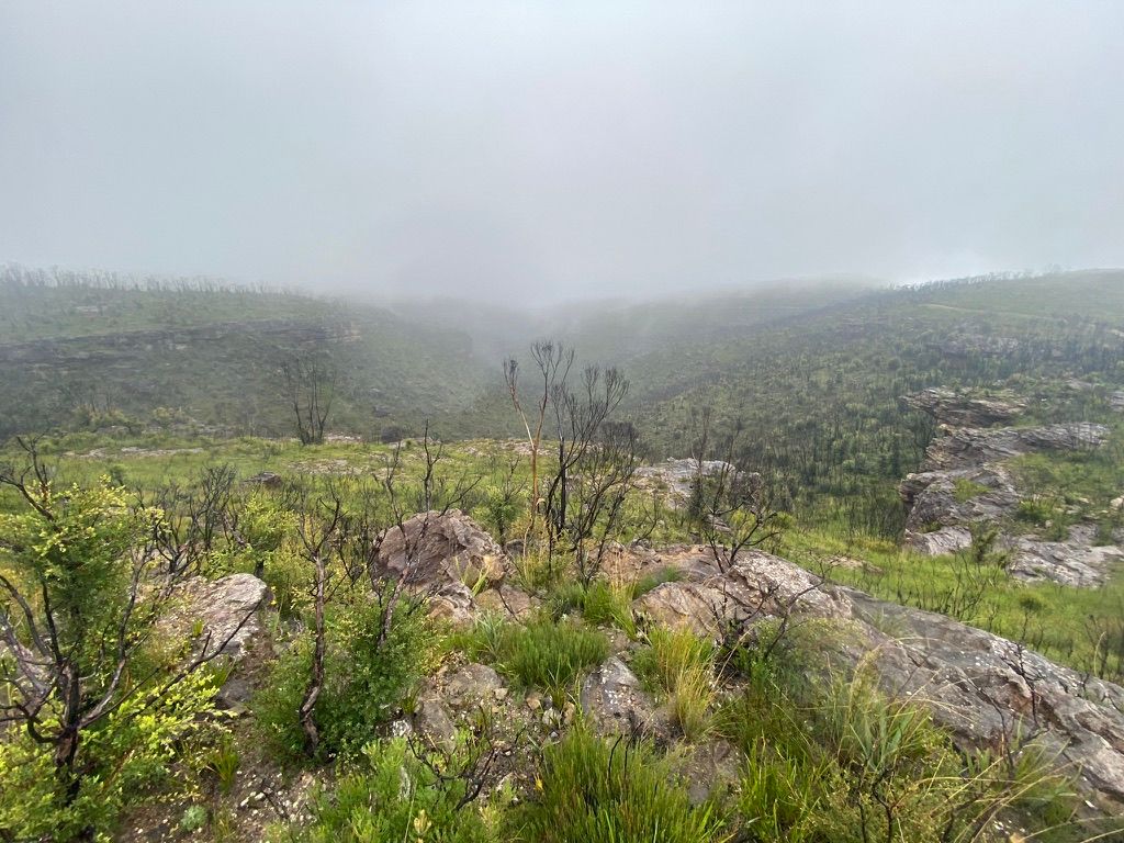
You will see a water tank ahead and if you take the track on the opposite side of the trail you're on, this will lead you to the first lookout. There is a small track at the lookout that will take you to another small lookout. Sadly for me, the fog obstructed the view.
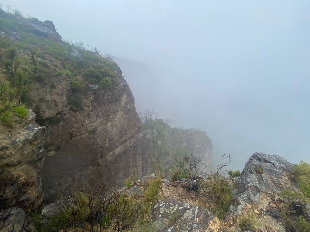
At this stage, the trail was quite exposed and the rain and wind were a bit cold. I found a small cave on the right and took shelter from the rain as I had lunch.
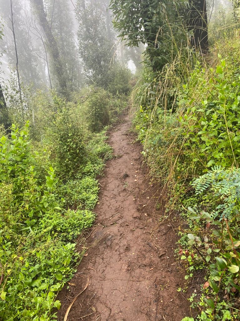
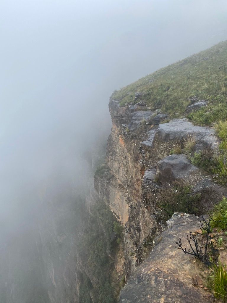
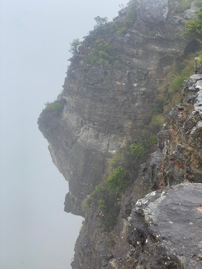
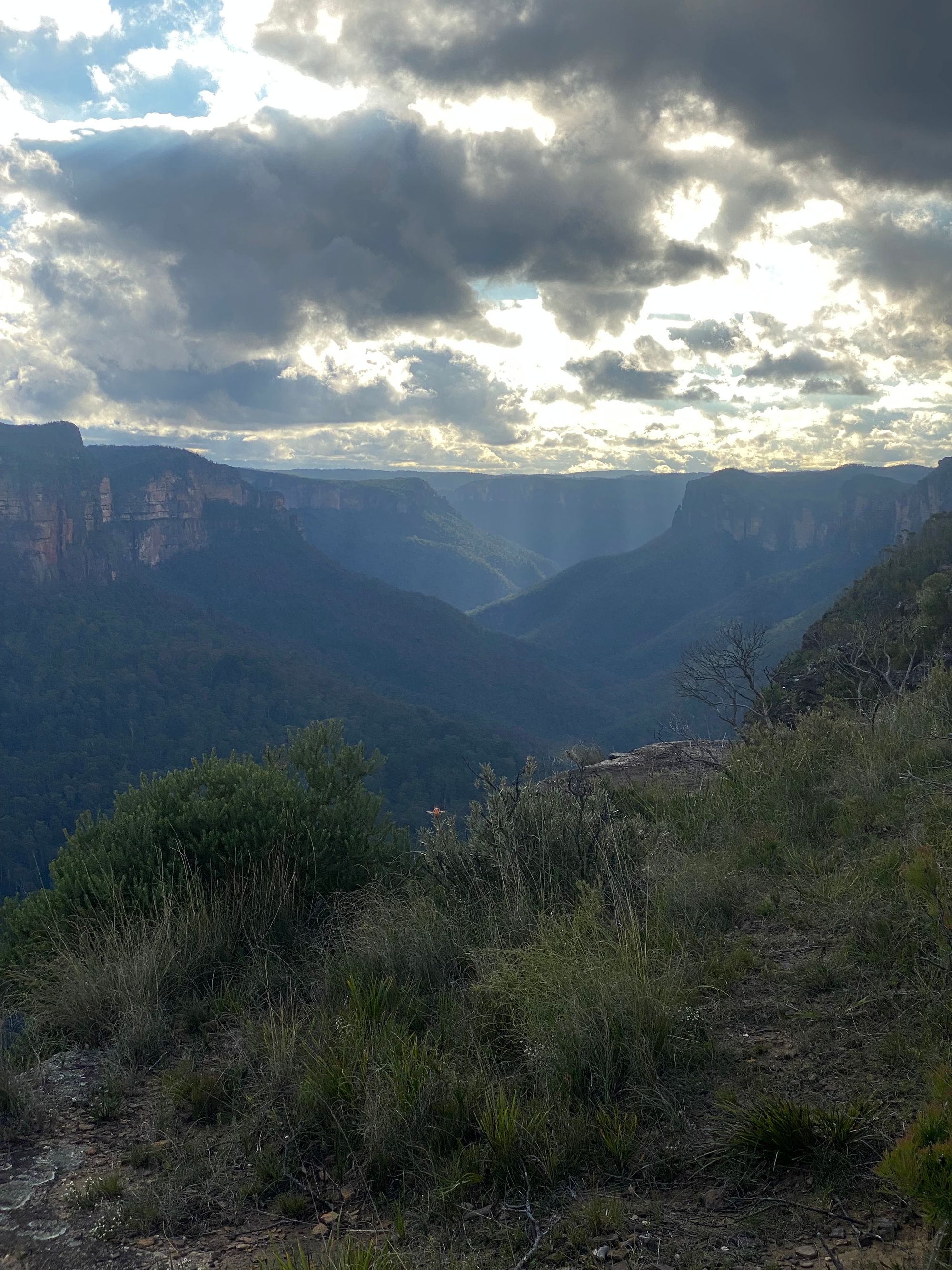
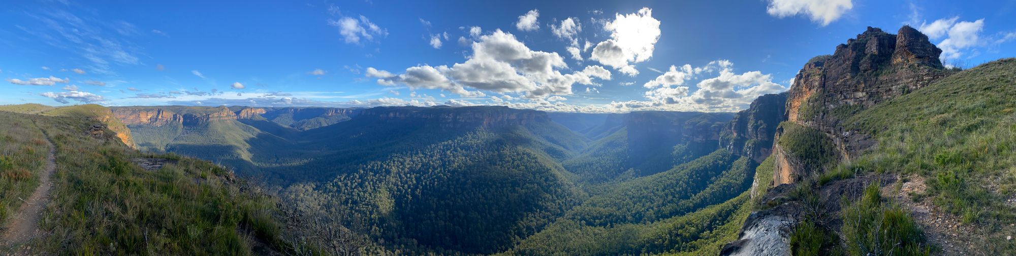
After lunch, I continued down the trail. You will notice an overgrown track leading off to the left. This is the track extension. I wanted to do this but it adds quite a bit to the walk. I finally got the lookout at the end of this trail. Even with the drizzle and fog, this was a great lookout. I could watch the fog tumbling over and down the cliff for hours.
After I finished enjoying this view I returned the way I came. Instead of summiting MT Banks again, I took the fire trail to the car park. This is one walk I will be doing again.

May 2022 Update
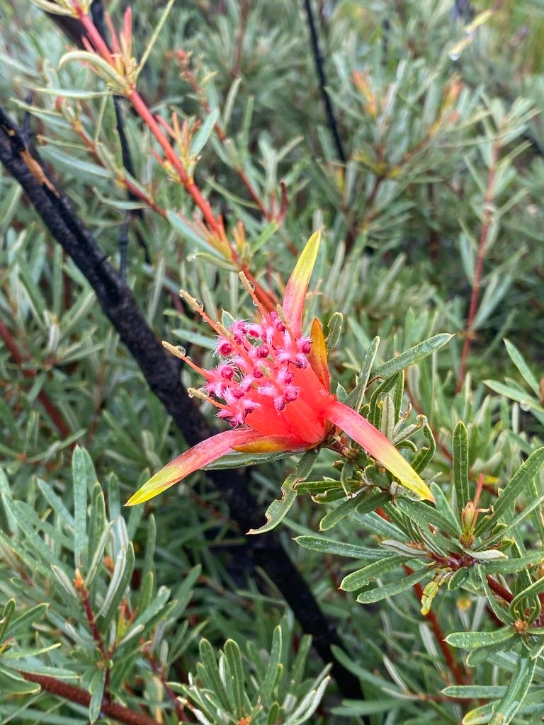
I hiked this trail again in May 2022. The views didn't disappoint. Below are some photos from this walk when the weather was a lot better.
| Where: | Blue Mountains National Park, The trail starts at the Mt Banks Picnic Area off Bells Line of Road near Bilpin. |
|---|---|
| Distance: | 13km (2.4km for just the loop) |
| Grade: | Grade 3 |
| Map: | Mount Wilson 8930-1N |