Finding historic trig stations on your next hike.

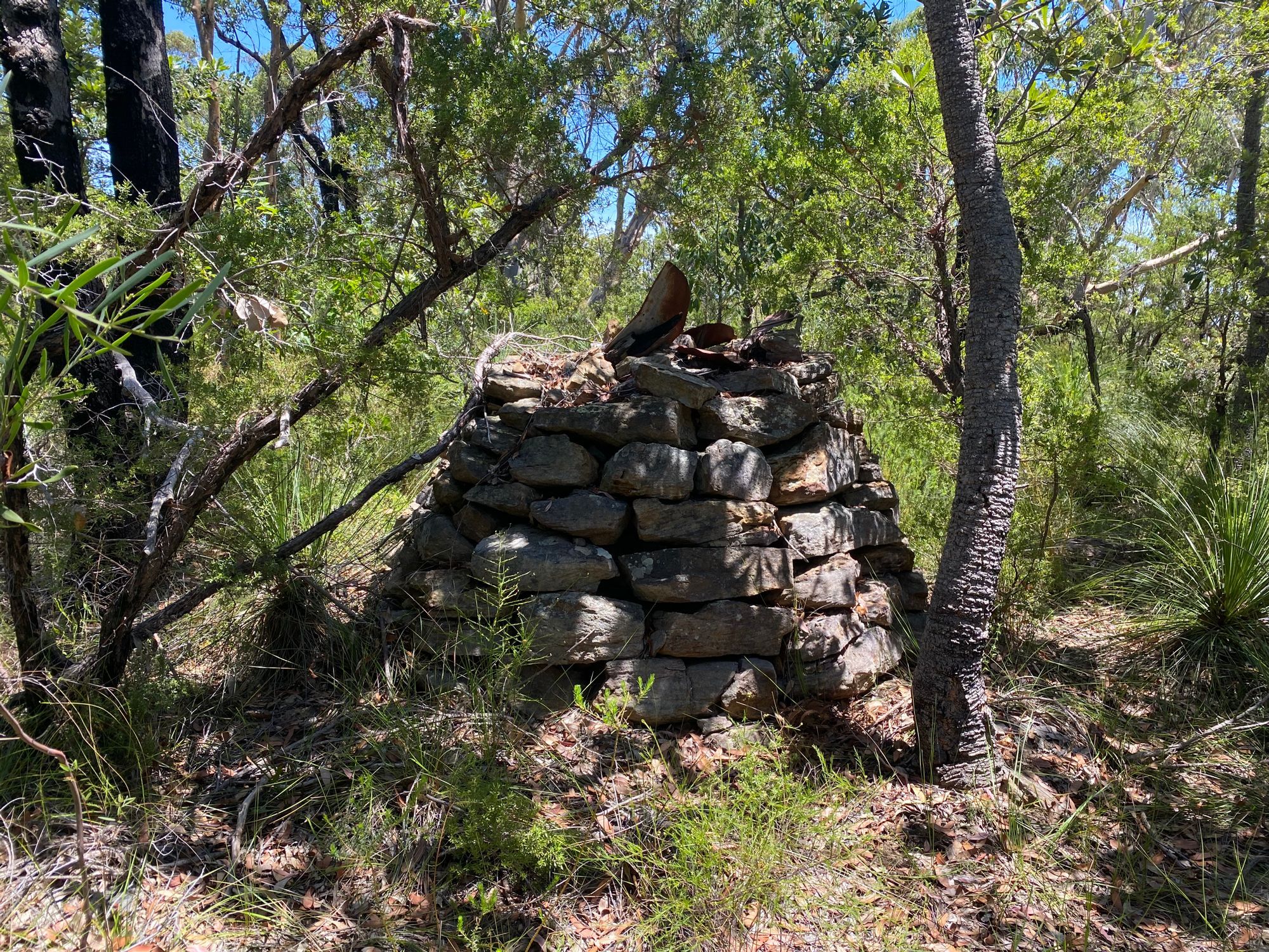
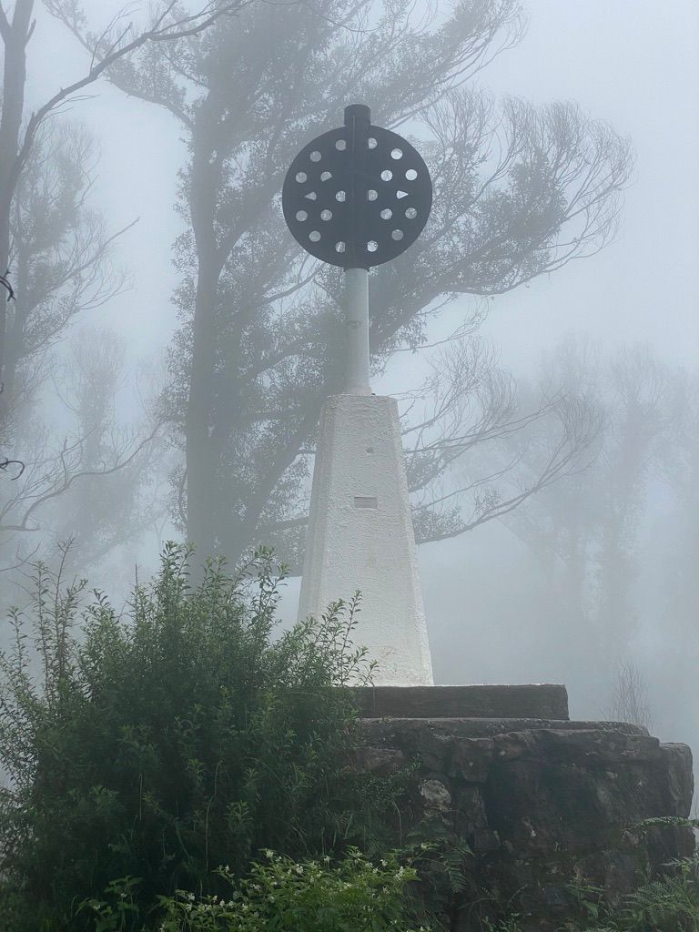
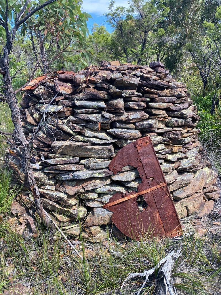
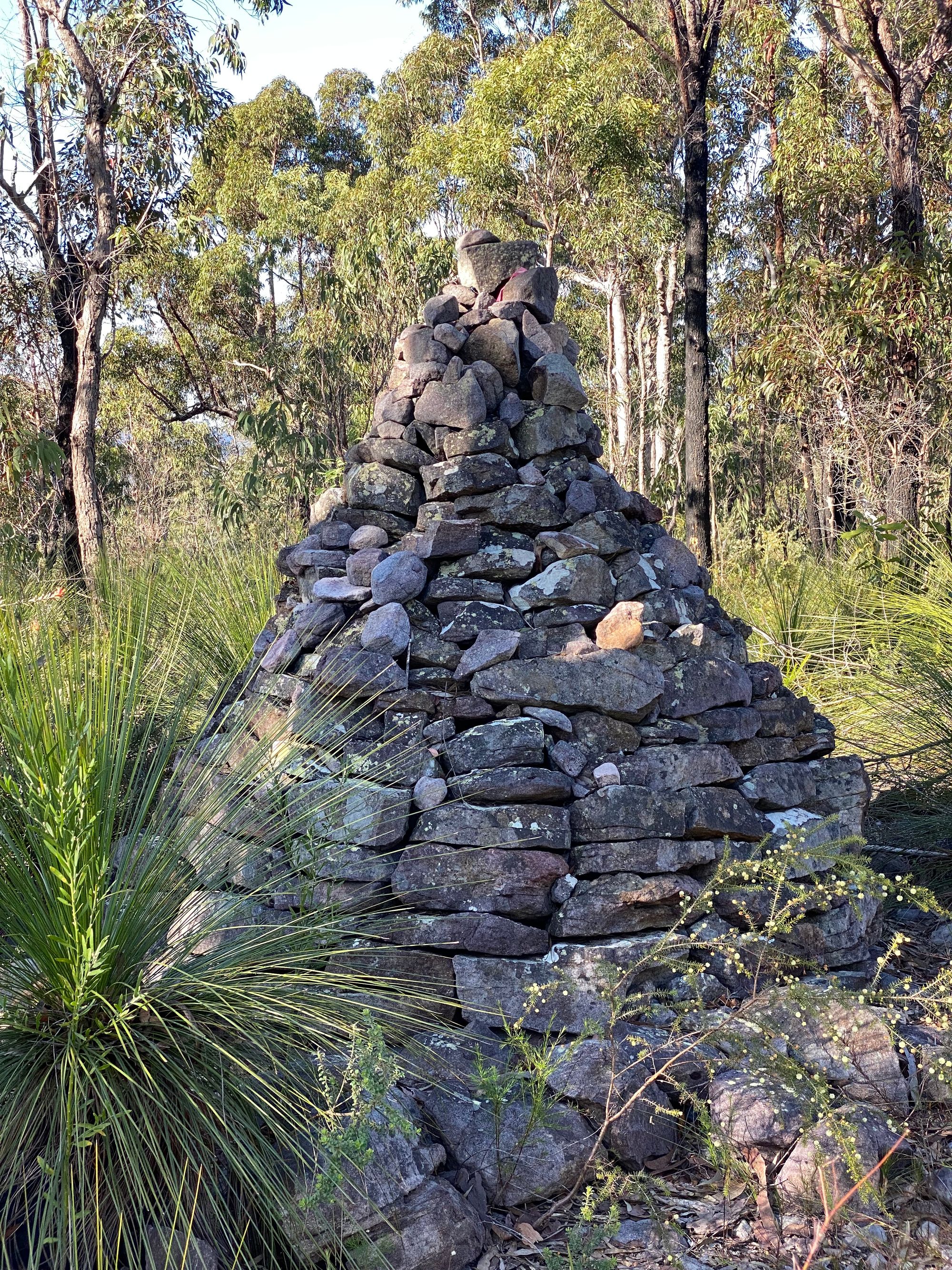
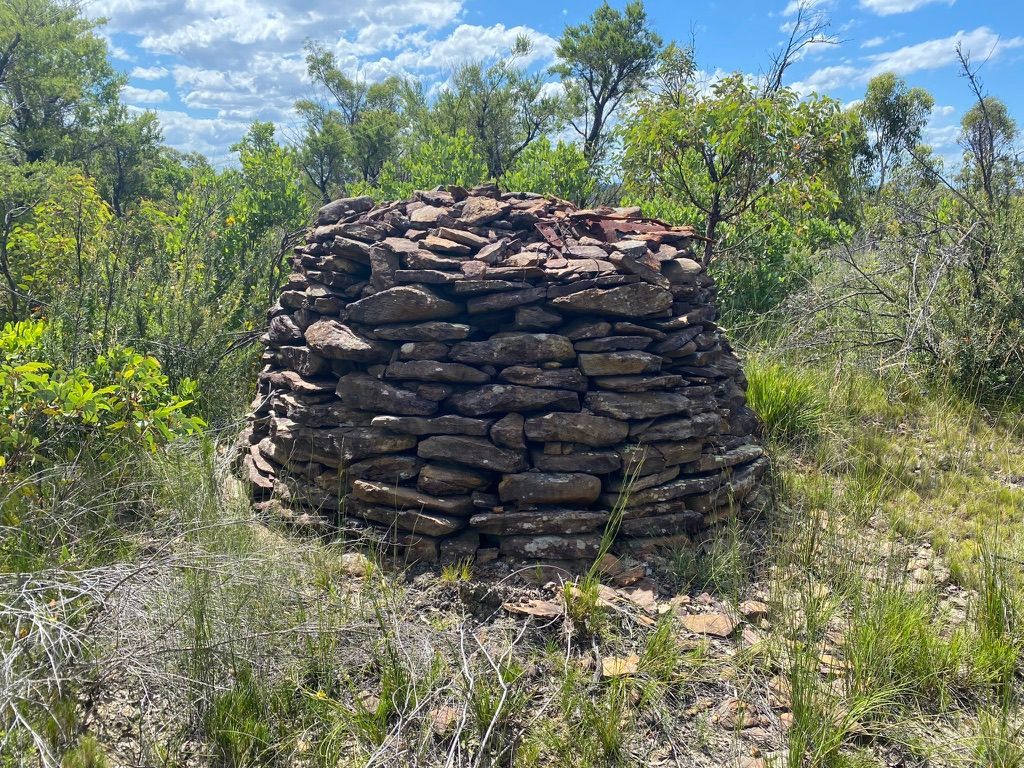
Trig stations are survey marks that were used to map Australia. When hiking around Sydney, you may encounter one of these trig stations at the top of a hill or mountain. Modern ones are made of cement and metal, but there are old forgotten historic trig stations hidden in the bush made from stacks of rocks. Finding one during a hike is a fun side exercise. I will detail how to find one of these bits of history scattered around the bush.
Spatial Collaboration Portal
The NSW government offers some amazing spatial data that is quite handy when planning hikes. They have a map that allows you to add the various layer data sets to the map. Once you have the map open. Zoom in to NSW. After you have done that, Open the "Basemap" toolbar and select "Topographic" as your base map. The other base maps are quite useful and the "NSW Imagery Basemap" is the highest quality satellite map of Sydney I've found on the internet.
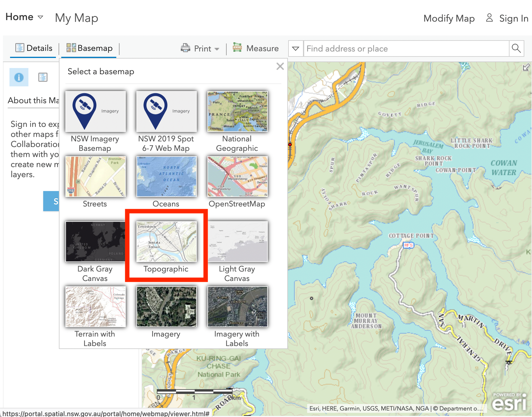
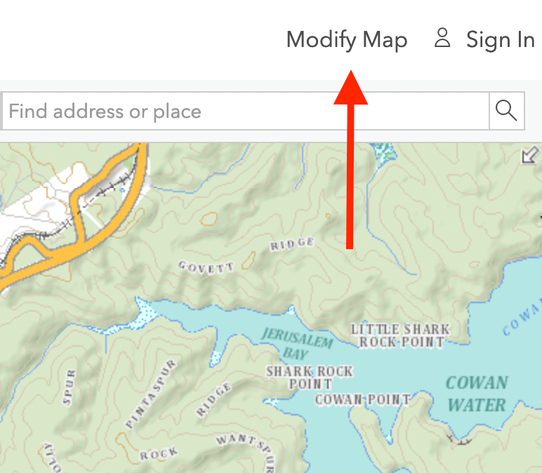
After doing this you will have a high fidelity topographic map. You will now want to modify the map. So go ahead and click "Modify Map".
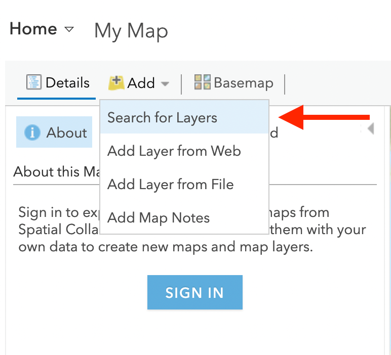
Now let's add a layer to the map. Click the "Add" button and select "Search for layers"
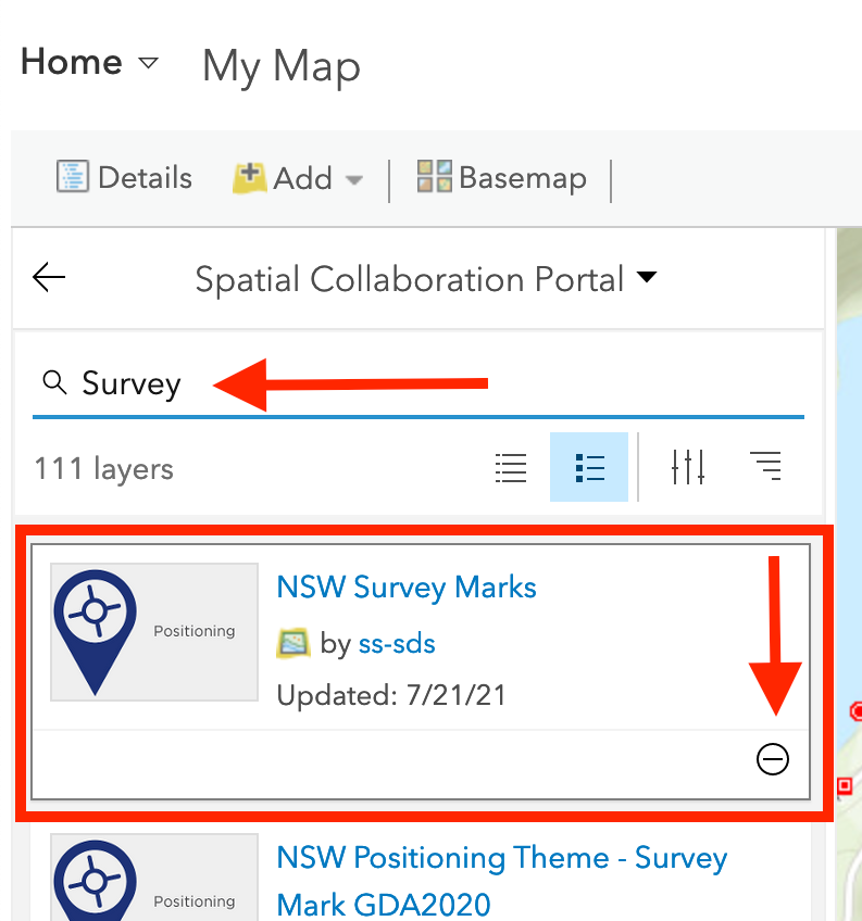
Now enter the search term "Survey" and click the "+" icon for the search result "NSW Survey Marks".
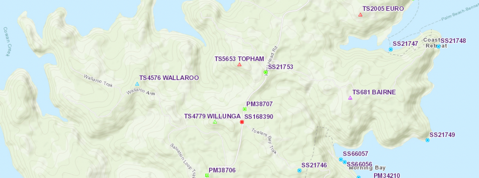
Your map will now populate with a lot of data.
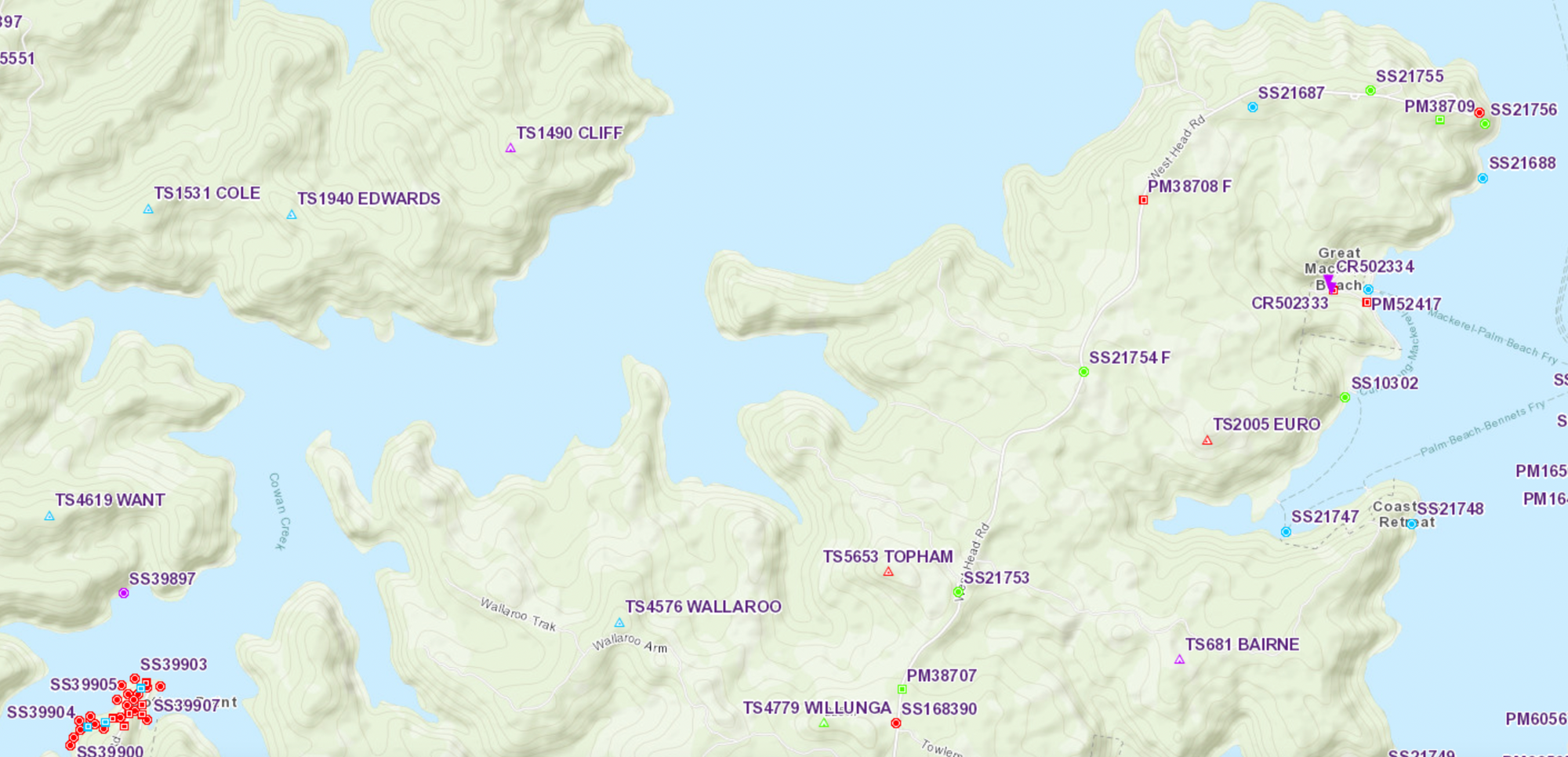
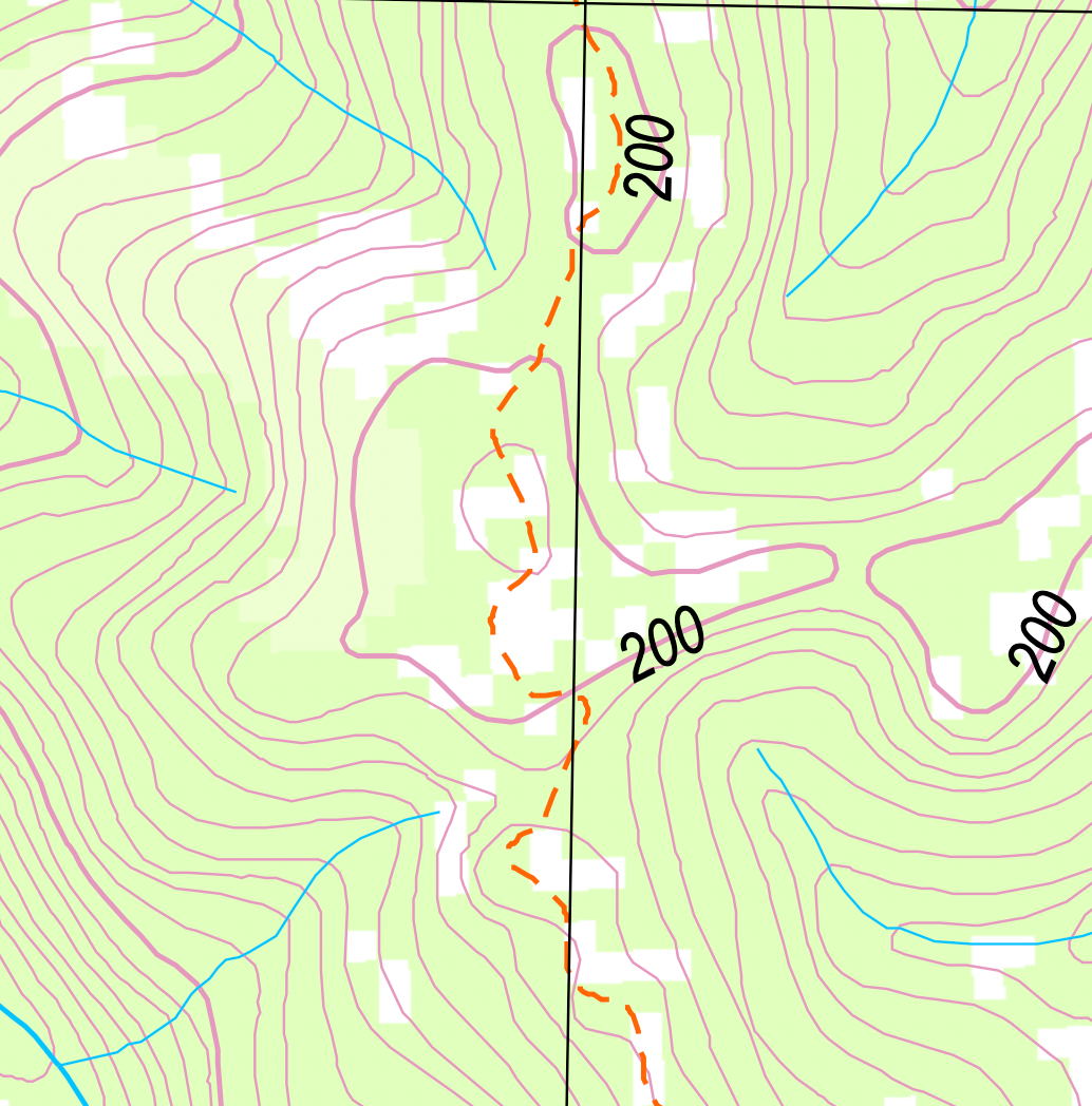
The Survey marks you are looking for are Trig Stations and have the prefix "TS" followed by a number. They also have a Triangle with a circle in the middle. You can change the base map to any of the maps to compare with. In addition to the Trig Station mark type and number, a name is also used for all Trig Stations. If [P] appears at the end of the description, the station is monumented with a concrete or steel pillar. When you compare this data with topographic maps you will see they are not marked on topographic maps.
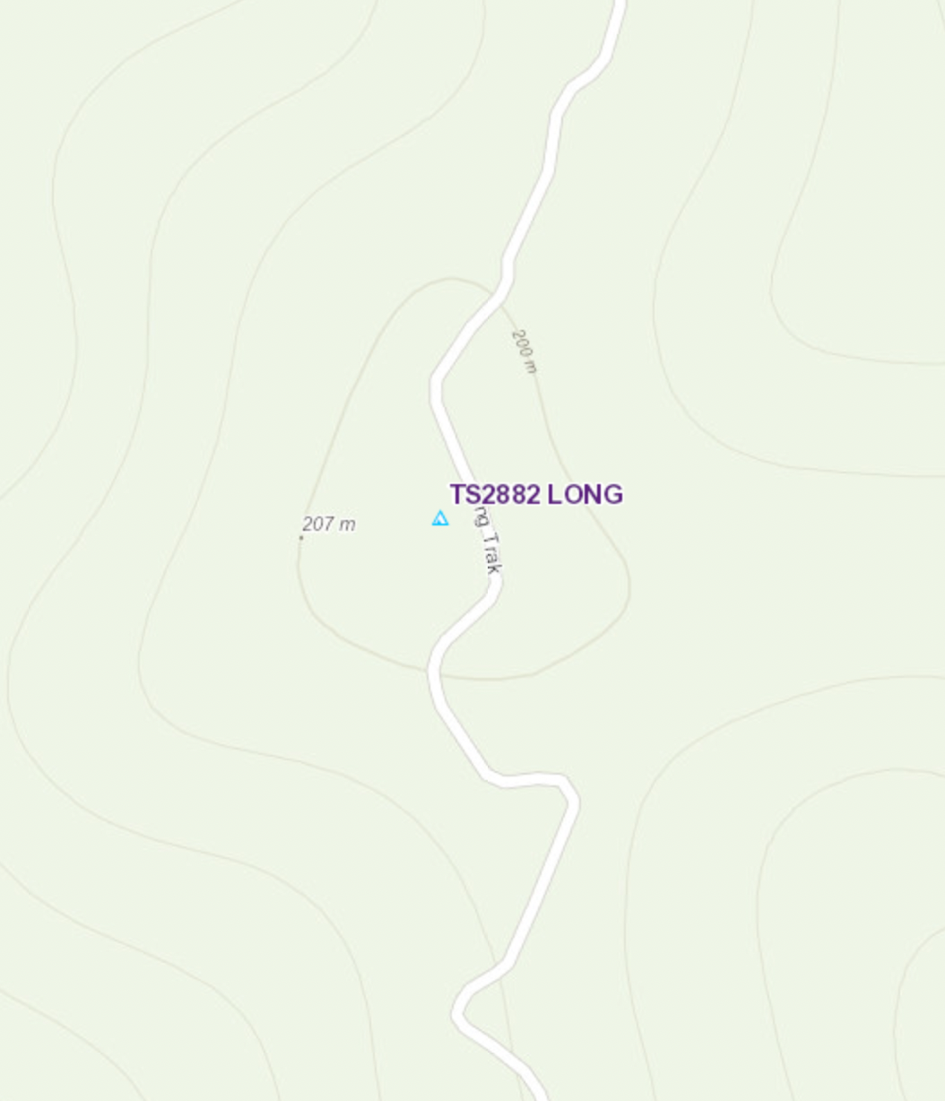
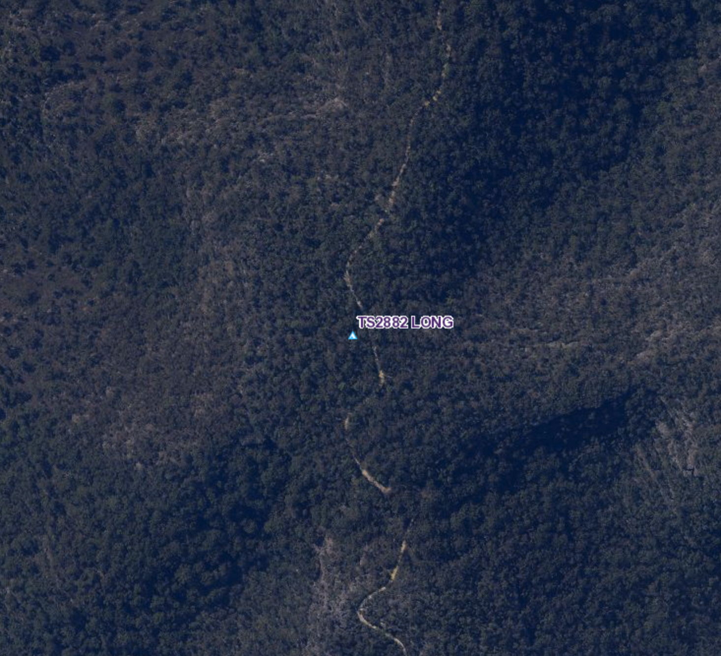
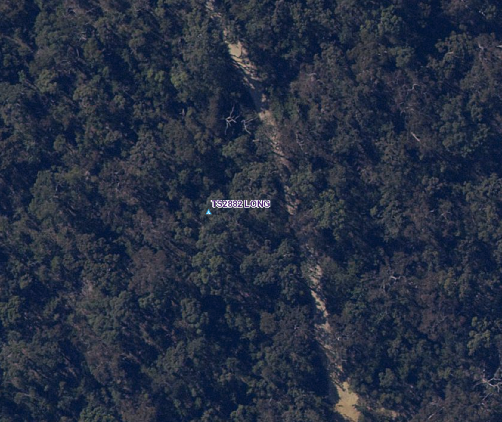
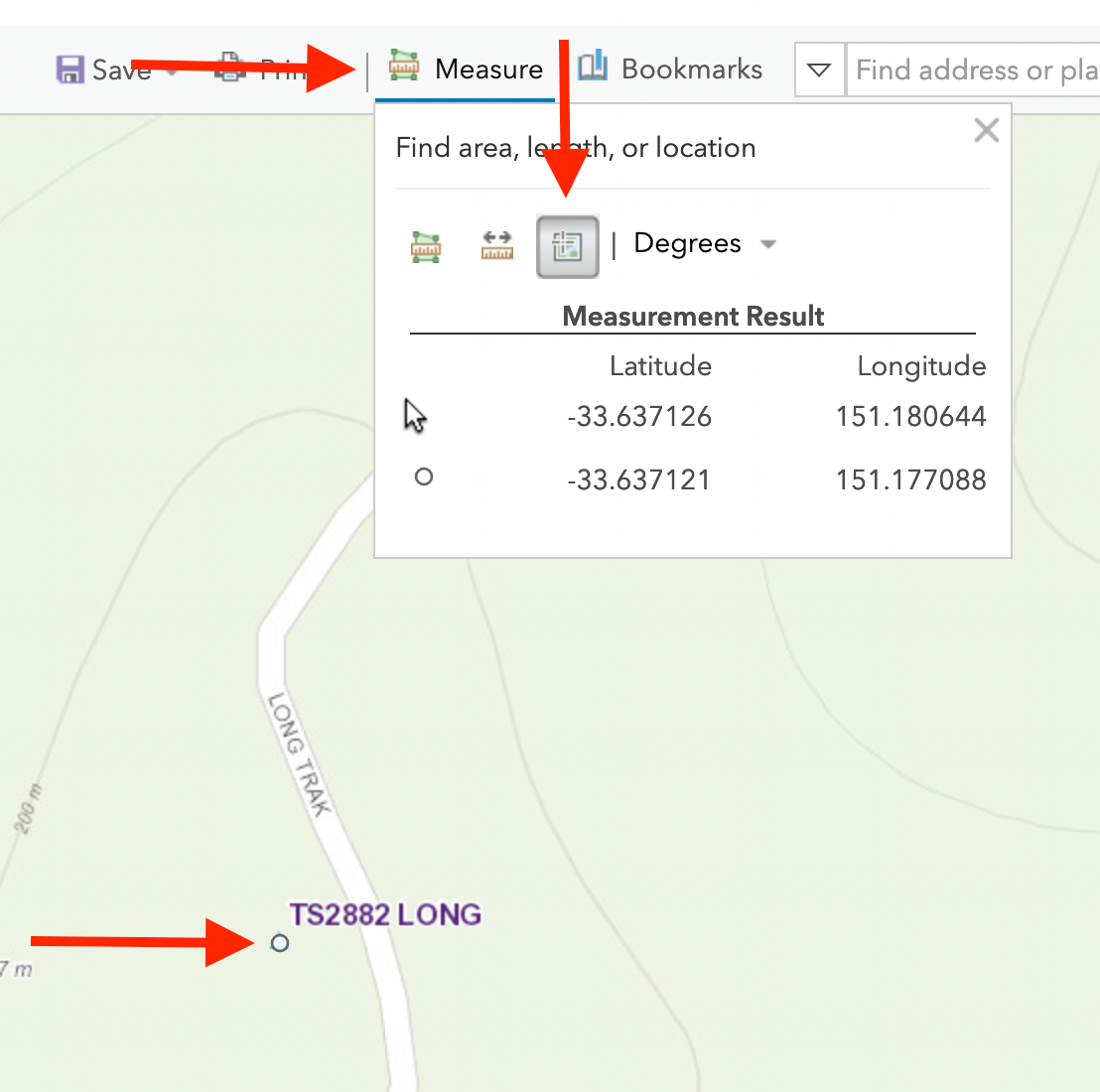
So now you have a Trig Station you want to visit. The one I have zoomed in on here (TS2882 LONG) is one of the quite easier trig stations to visit. In the map Click the "Measure" button and click the crosshairs button. After you have the tool enabled click on the map the location of the trig station. Add the location to your GPS or mapping software.
On the trail, it can be quite tough to find these old historic trig stations as some of them rarely get visited and rarely have a path to them. To get more information on a trig station, you can download a inspection report of the trig at https://six.nsw.gov.au/survey-mark-sketches
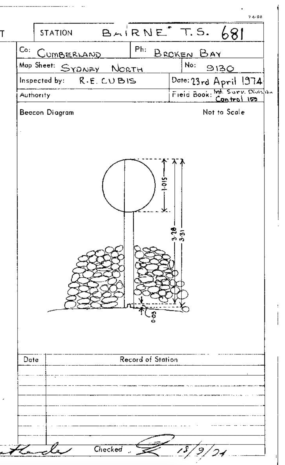
Below are a few trig stations I've visited including TS2882 LONG.