Exploring the Wollangambe Wilderness

During a recent trip to Wollangambe Crater, I saw a few potential areas I'd like to explore. This casual bushwalk would further explore those areas.
The day was overcast, and there was a 70% chance of 2mm rain. I was willing to take the gamble. I had packed 2 litres of water but decided to take 1 litre and filter some water down at the creek.
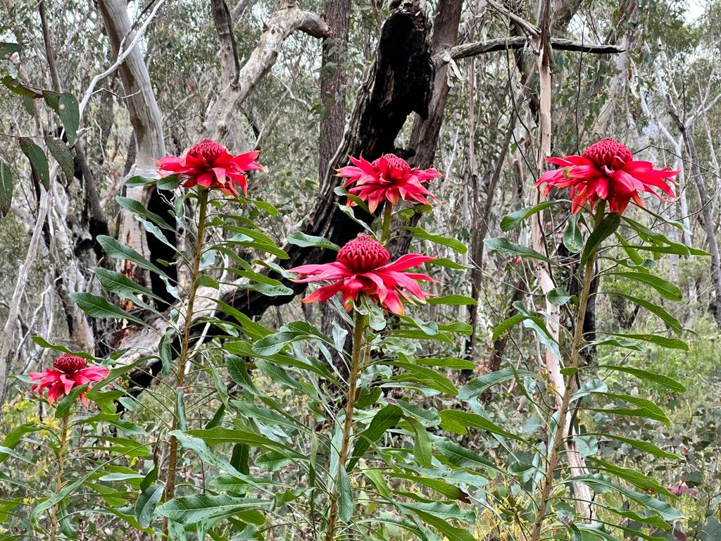
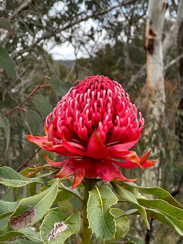
The first thing I notice when I start the trail is the sheer amount of flowering Waratahs. They were everywhere. I had never seen this many in the wild.
For this trip, I would be taking the trail from Bell train station to Submarine Rock. From this main trail, I would take a few side trips off-track.
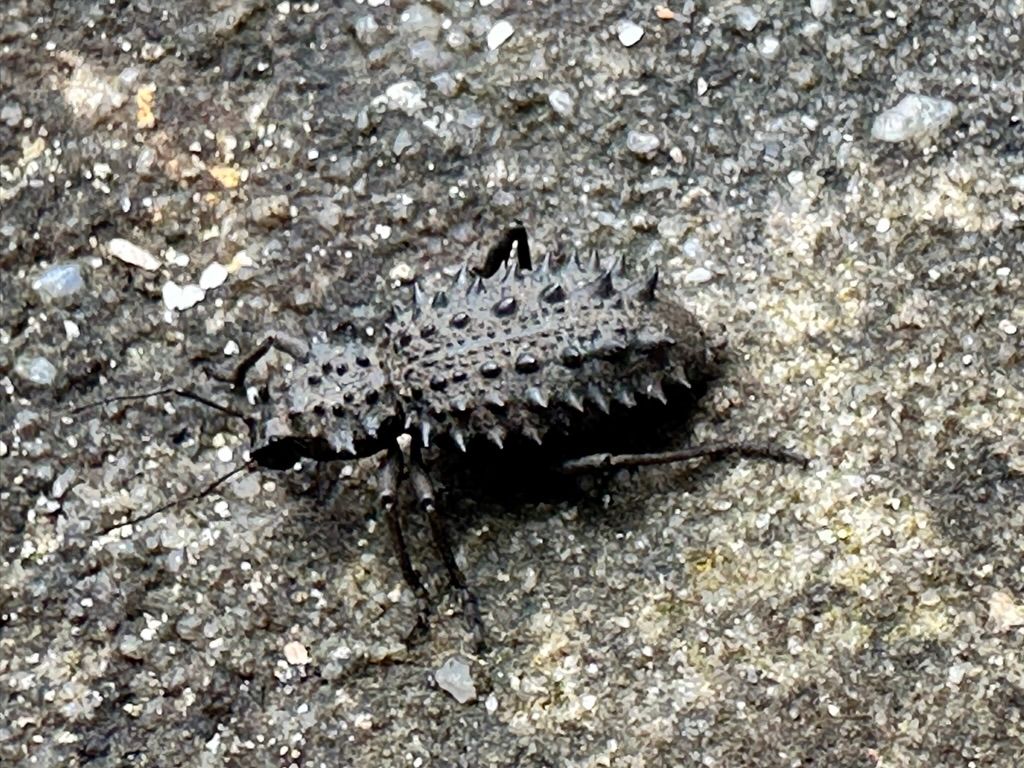
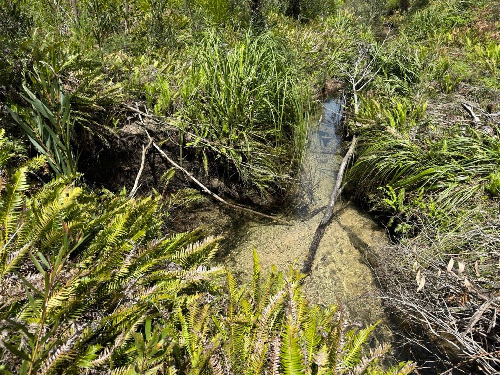
The initial 3km walk down to the creek was pretty straightforward. I was checking out a few of the larger Waratahs and checking out weird-looking beetles. Once at the creek, I noticed the track had deteriorated and become quite muddy. It's been nearly a year since I've been here. I'm surprised at how much it has changed. When walking on a muddy trail, it's important that you don't walk off the track and in the bush. You should stay on the already-formed trail and get those boots muddy. This is to minimise the damage to the surrounding environment. I have witnessed one popular track that had widened to two meters wide in one muddy section. Sometimes it's better to temporarily close a track during the wet months.
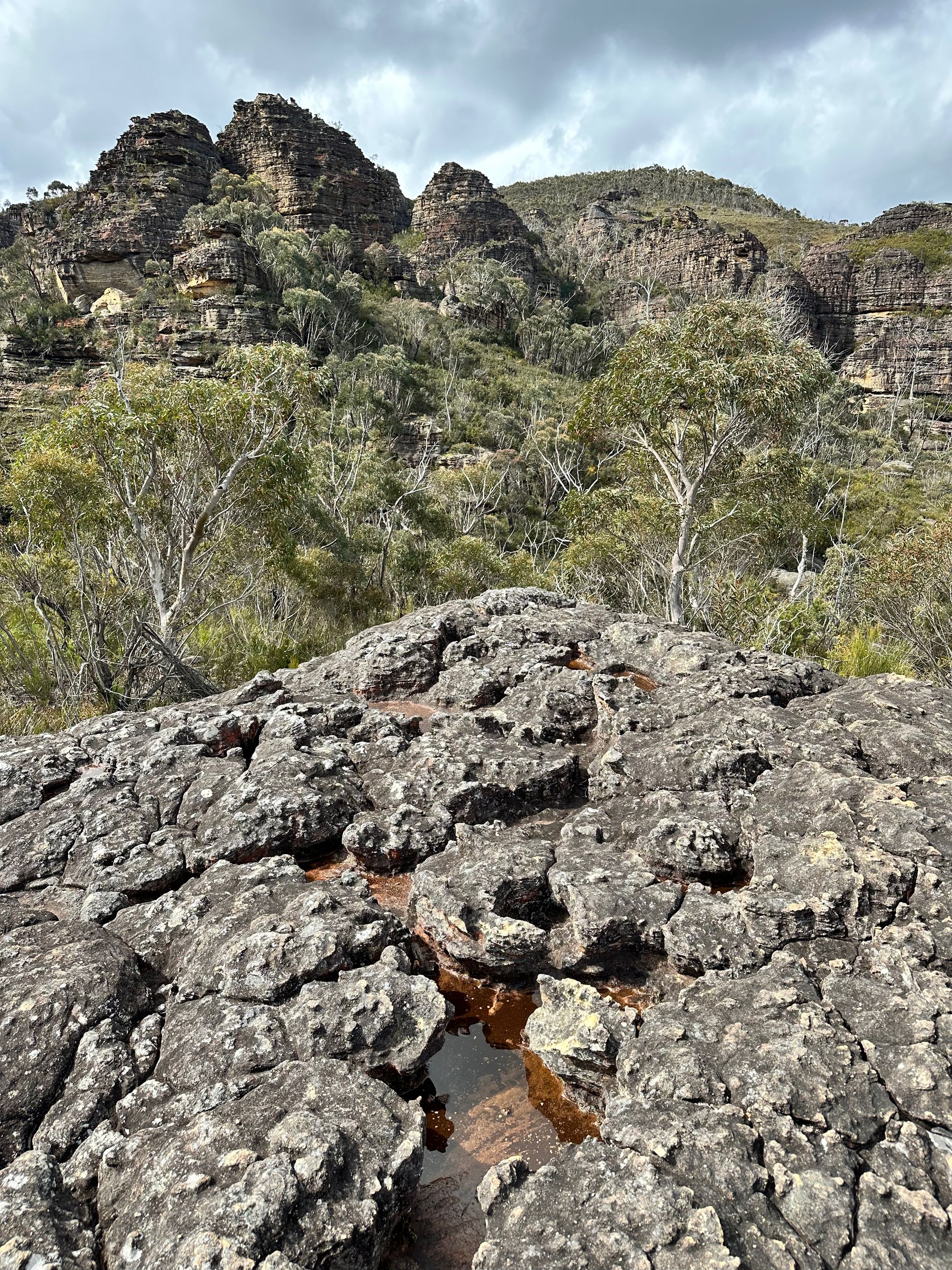
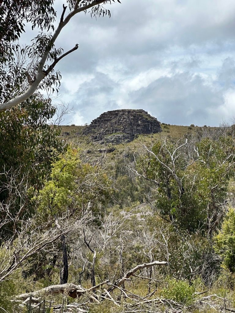
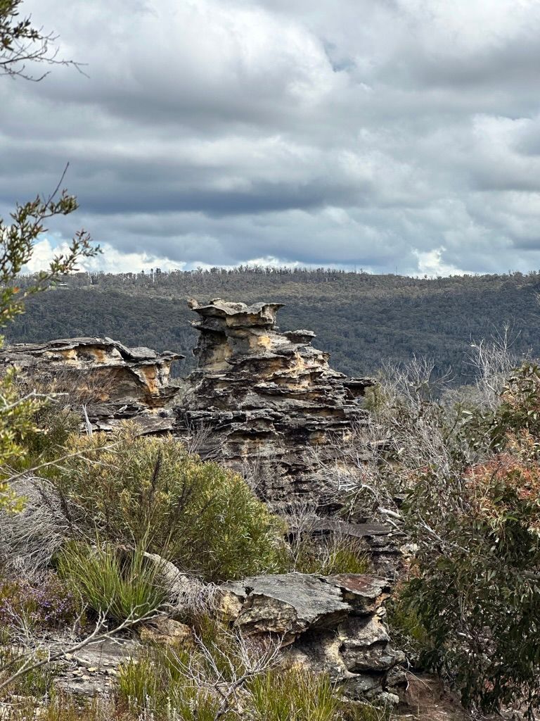
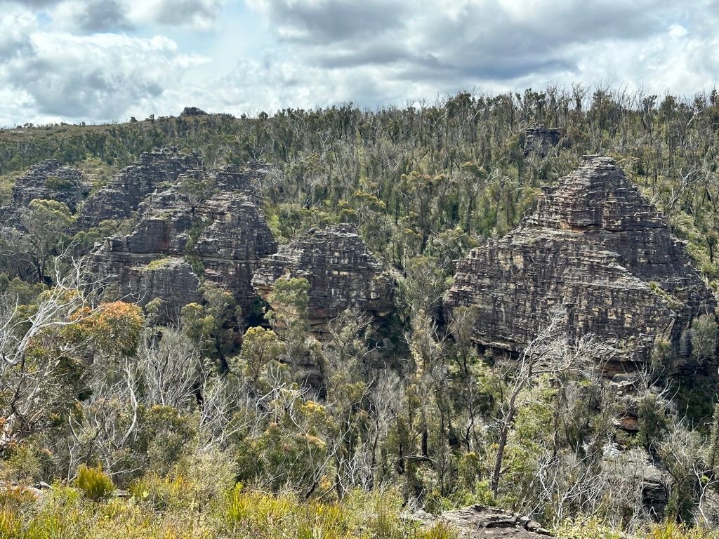
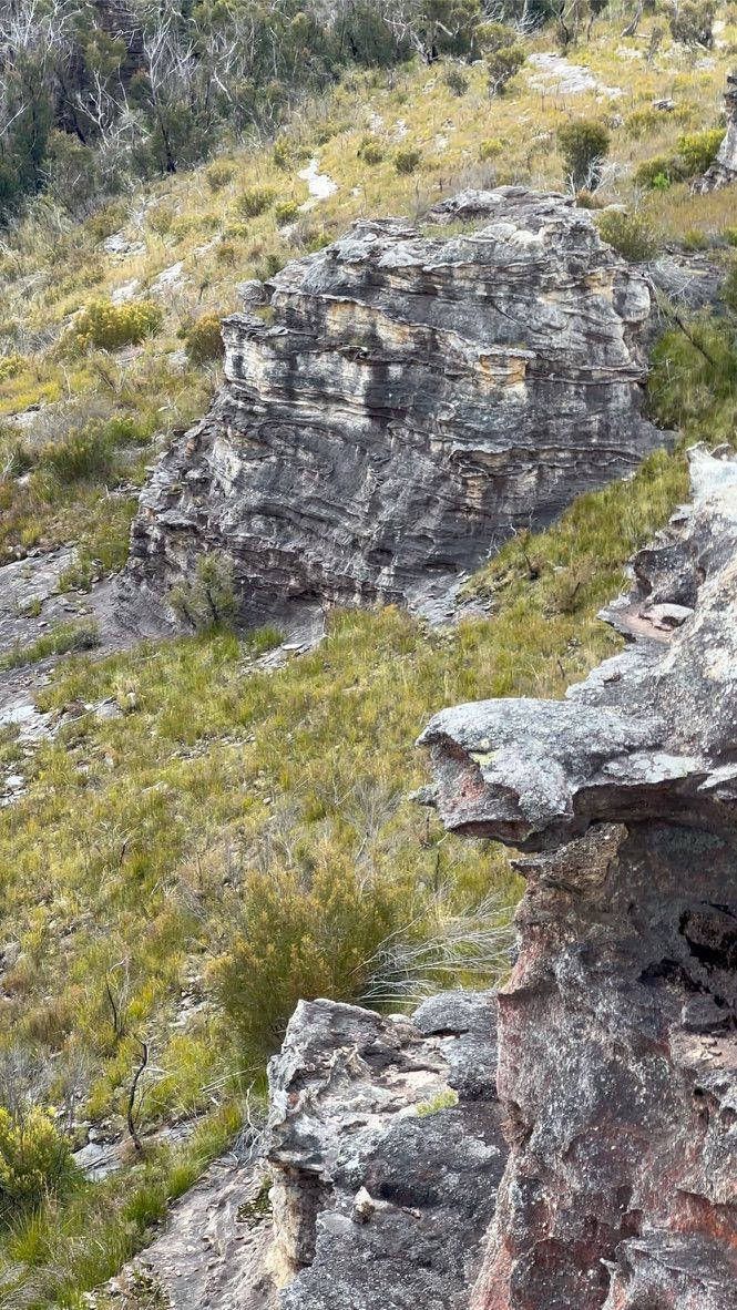
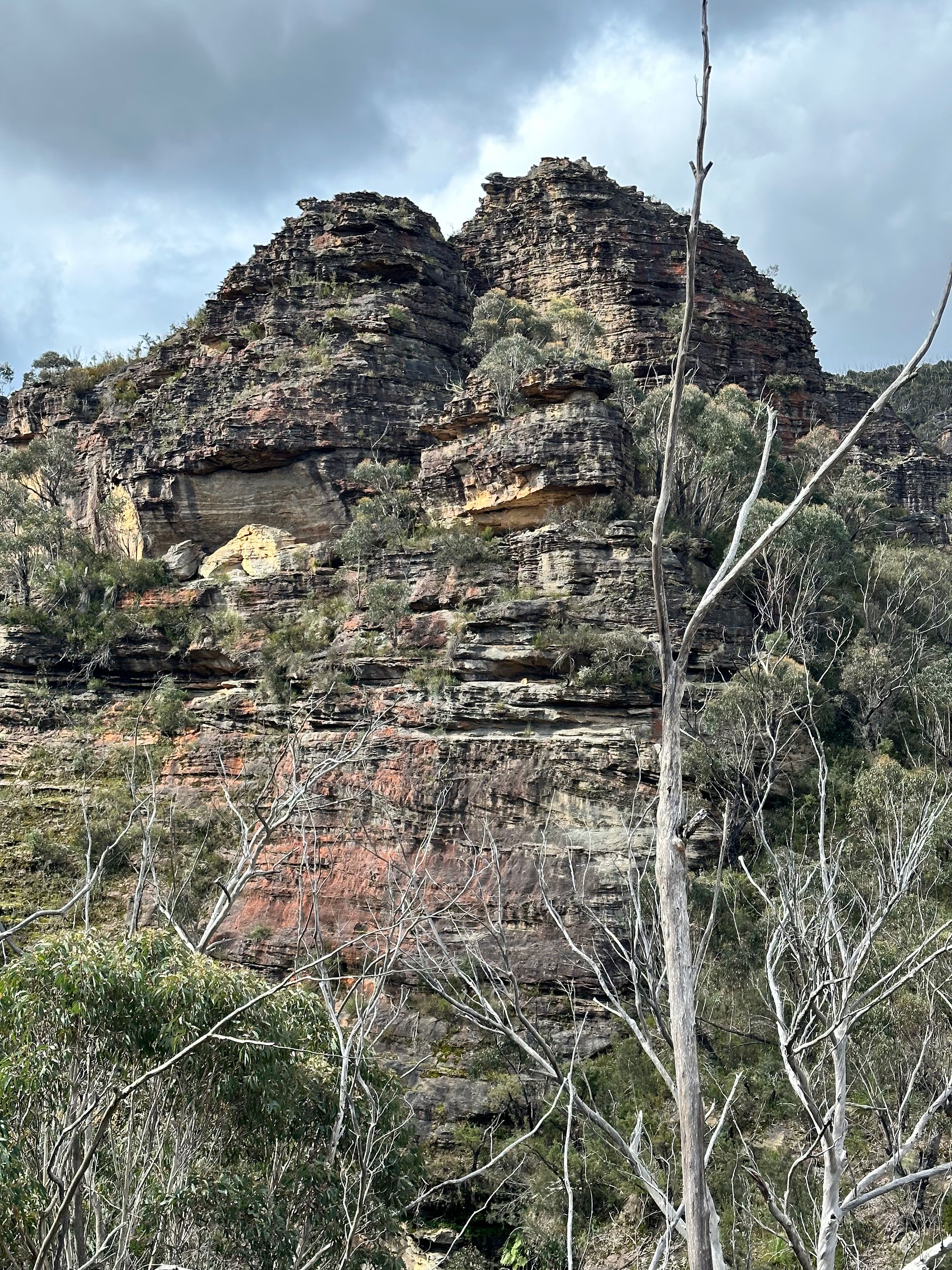
After the creek, I walk up the hill through a few small pagodas and spot my first large pagoda on a mountain. I think to myself, I'd like to get to the top of that.
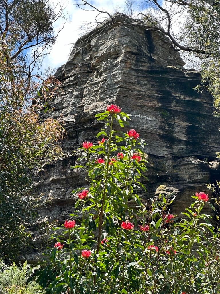
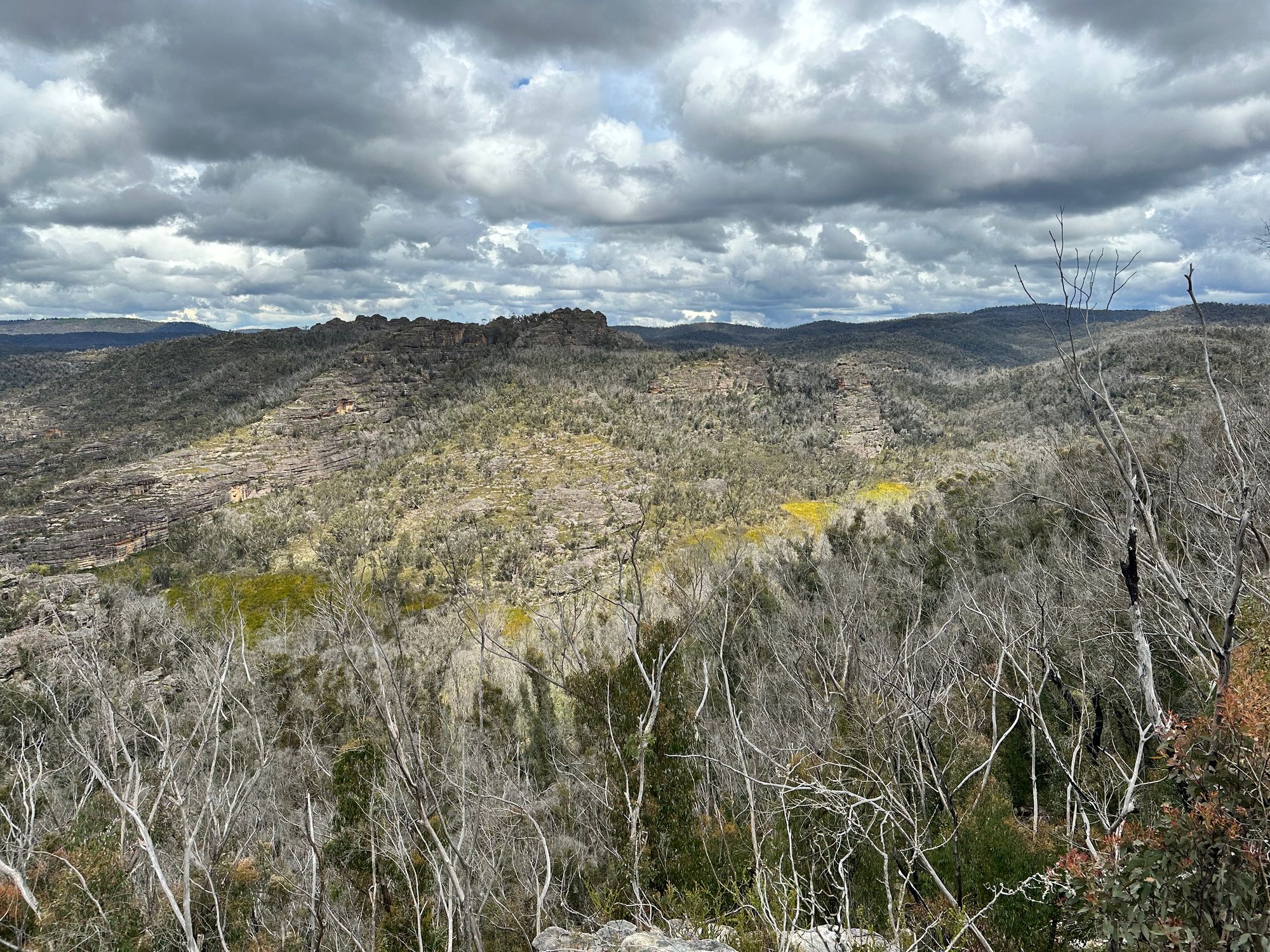
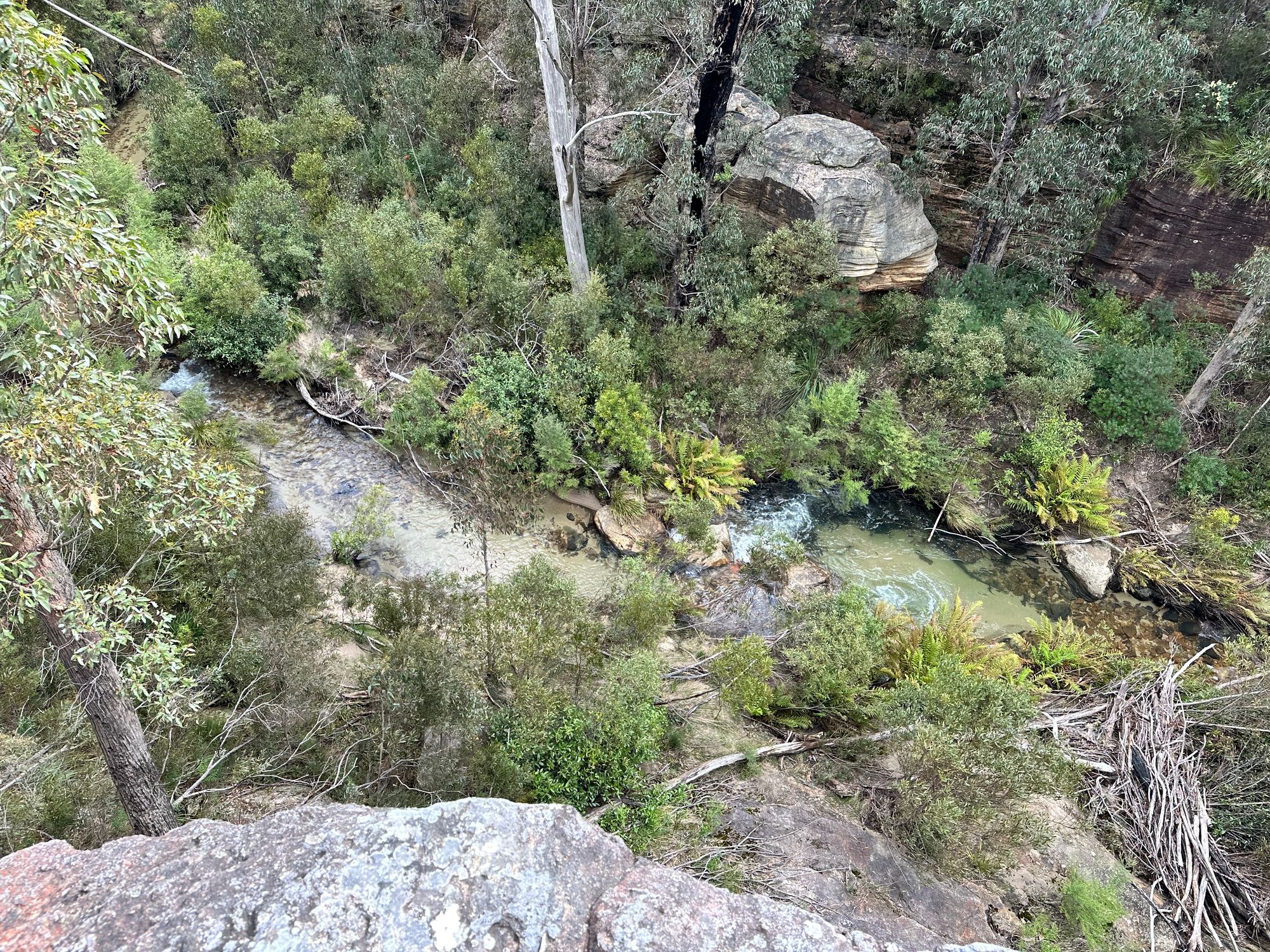
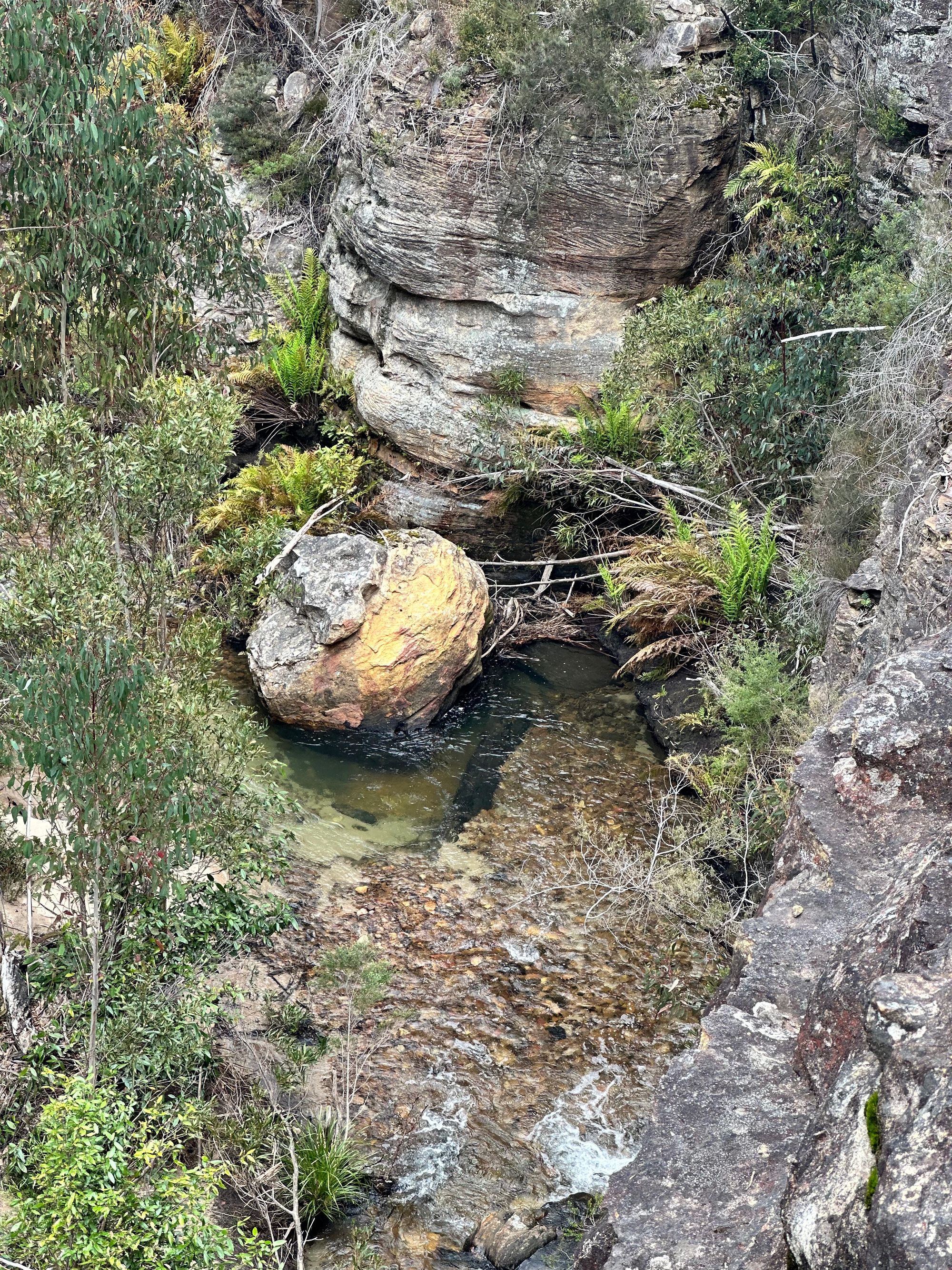
I reach my first turn-off. I head South East along a ridge. Carefully stepping on the stones around the moss. There are few trees on the ridge line, which allows for some great views. I reach a few smaller pagodas. I head to a large pagoda (959m) and climb to the top of it. I look down the valley and see a track crossing a creek. This is the pagoda that I wanted to climb. I confirm this with my map and decide to have lunch.
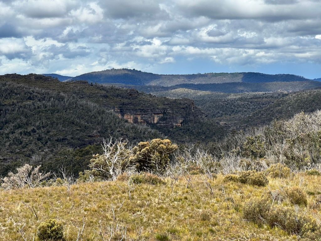
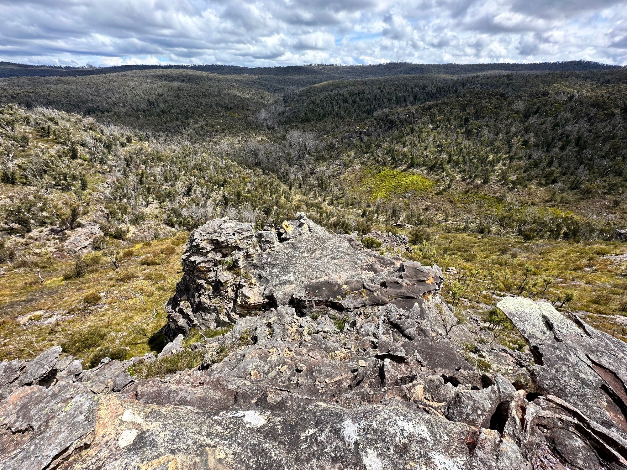
After lunch, I continue along the ridge. I contemplate going down into the valley and working my way back to that original creek crossing, but I decide not to. I really want to see the view at the end of this ridgeline, so I continue to the end and get a great view of the valley.
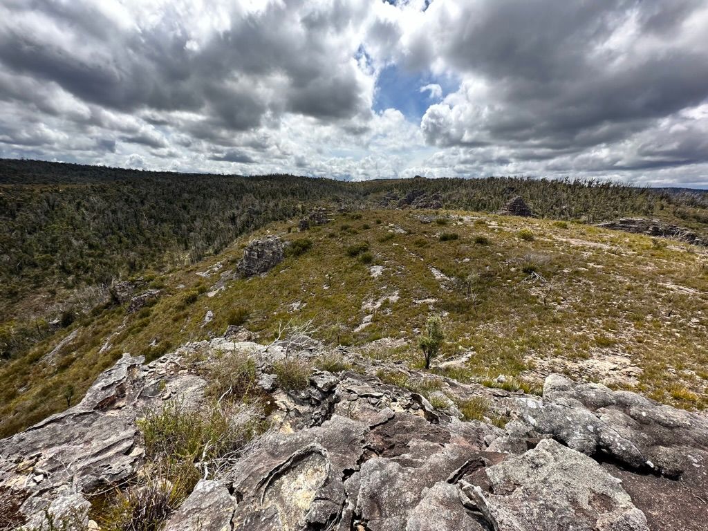
After this, I head back to the main track and continue up to Submarine Rock. I don't spend any time here as I want to go down a side trail that takes you to Goochs Crater.
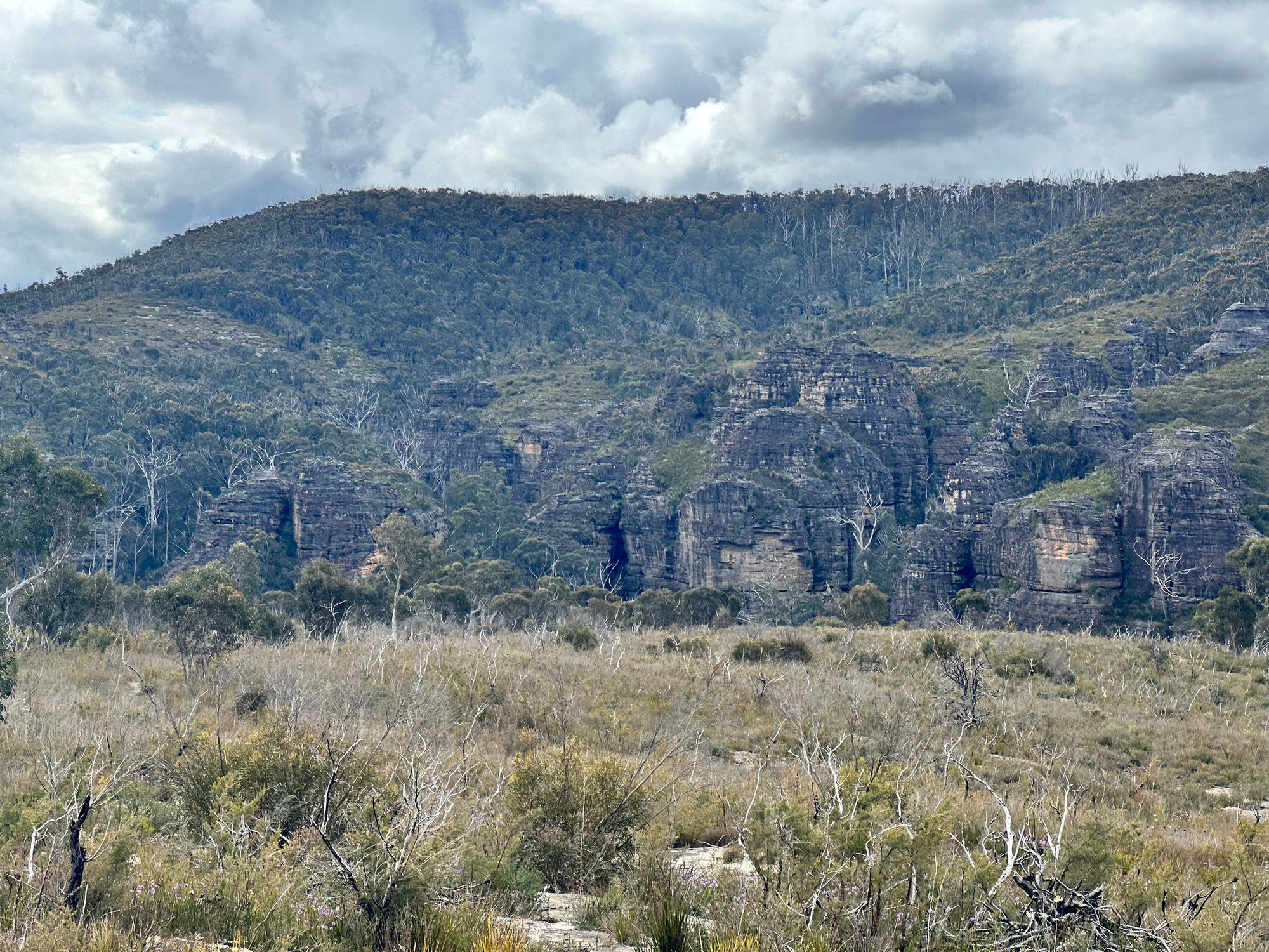
The trail is well-defined, and I decide that this trail is much more picturesque than the track to Wollangame Crater.
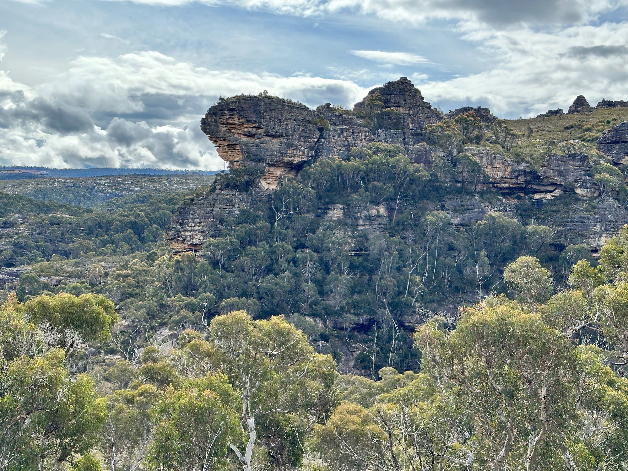
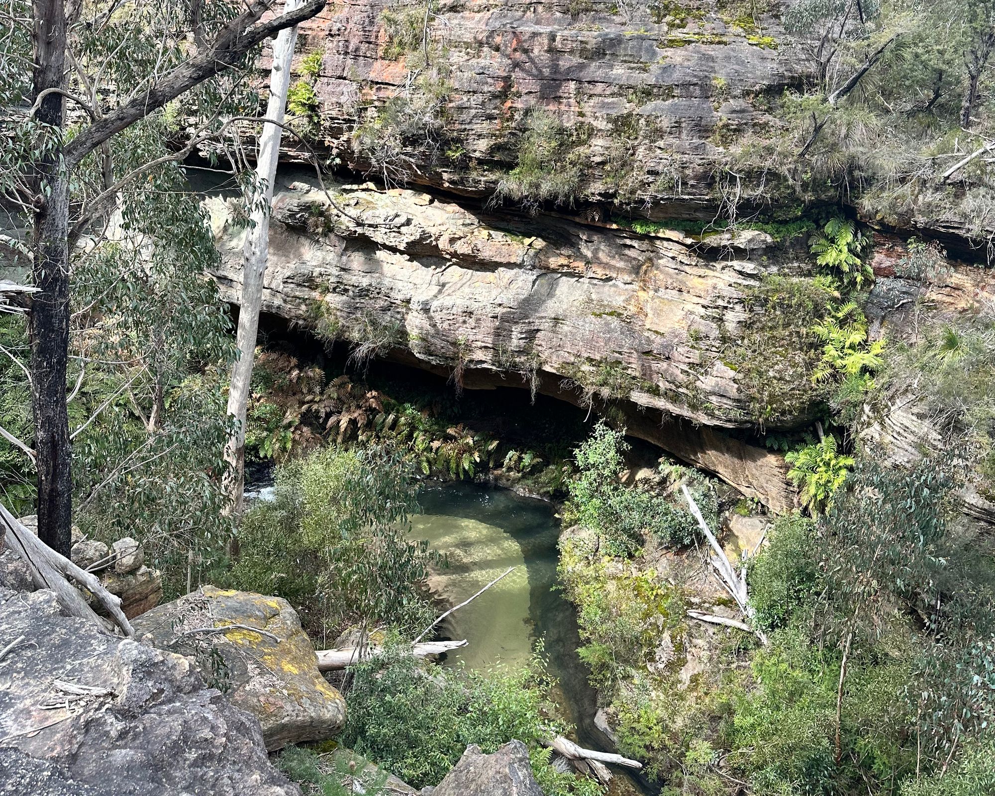
After a little while, the trail starts to steepen, and then the trail disappears. I head to the end of the spur, which requires a bit of scrambling, and I'm treated to a fantastic view of large pagodas and the Wollangambe River.
After a little while, I start the walk back to the car. I can see rain slowly pass by in the distance. I have somehow managed to avoid the rain. A perfect bushwalk.