Couranga Walking Track
A varied walk in the Royal National Park. Descending down to the Hacking River. Passing through a Rain forest and a Palm forest.

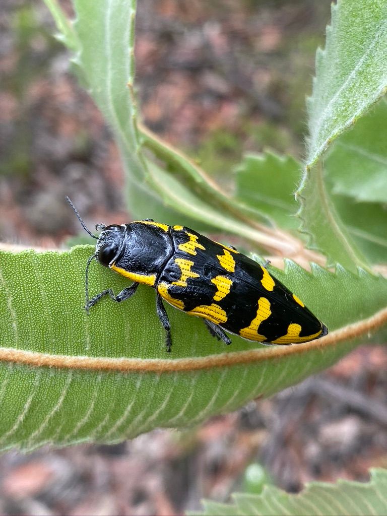
A moderate one-way hike that dives down into a valley that passes through heathland, rain forest, a palm forest and ends at the Hacking River. There are plenty of wildflowers and birds to see on this walk.
Knowing that it might rain, I decided to do a hike that passes through a rainforest. The Couranga Walking track fits the bill. It passes through various forest types including a palm forest as well as beautiful heathlands.
This hike starts at Waterfall Station. At the back of the car park, some steps lead to the start of this walk. You walk for a little while (400m) then find yourself at an old cricket ground (Waterfall Oval). Walk around to the left to the start of a fire trail (Uloola Firetrail). You will pass a Firefighters memorial on your left.
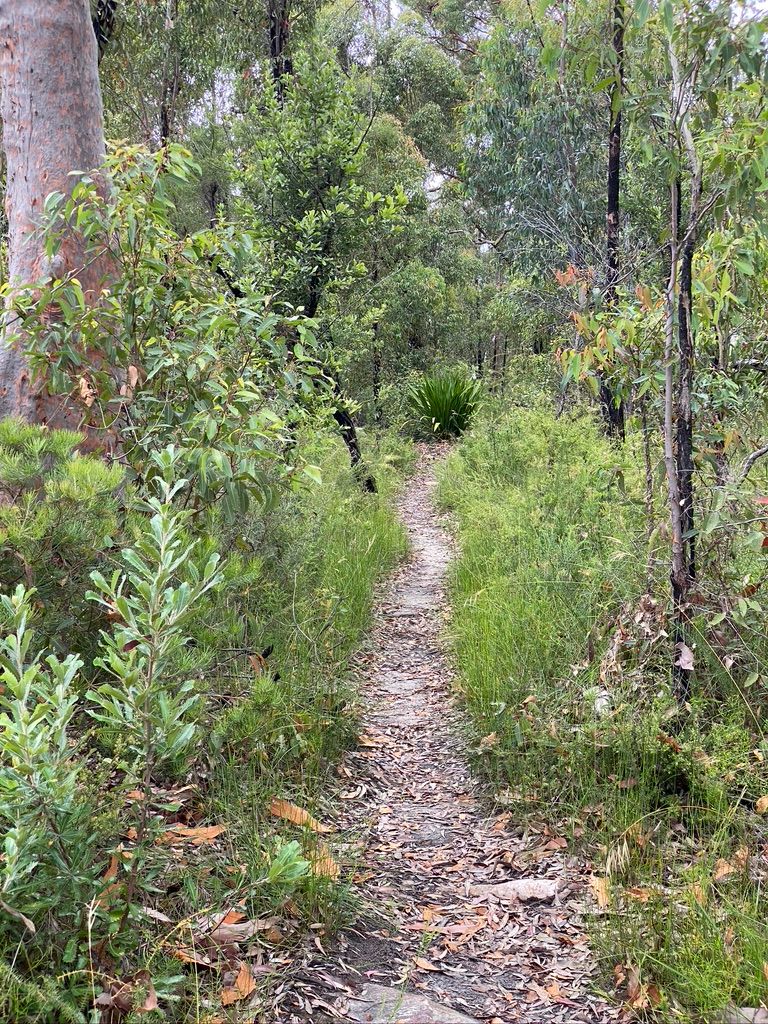
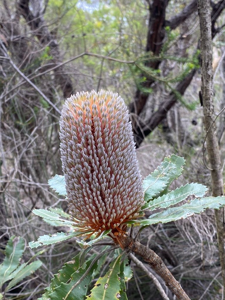
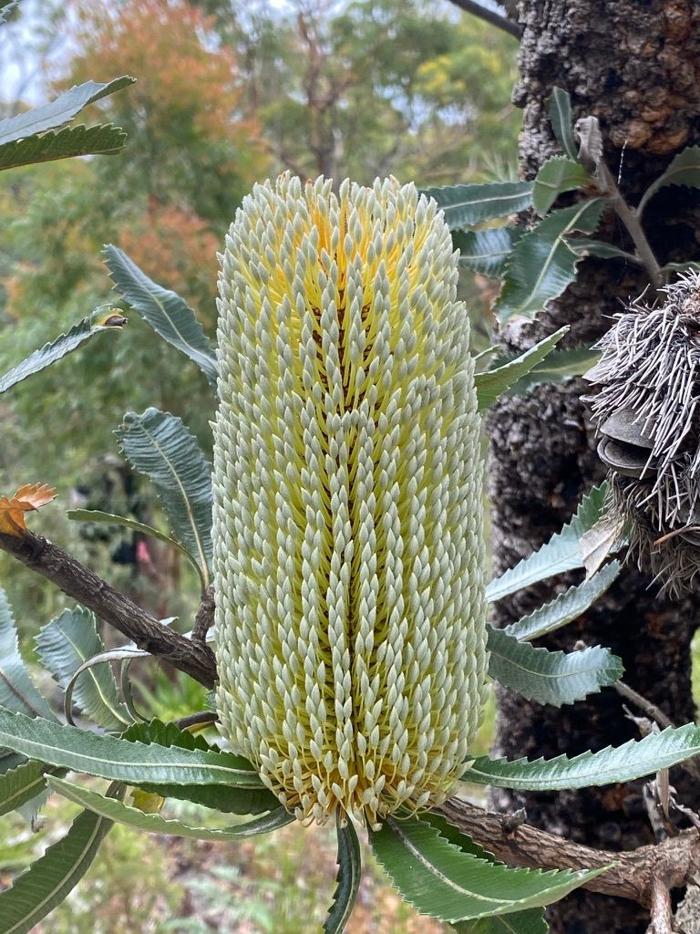
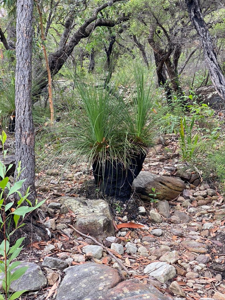
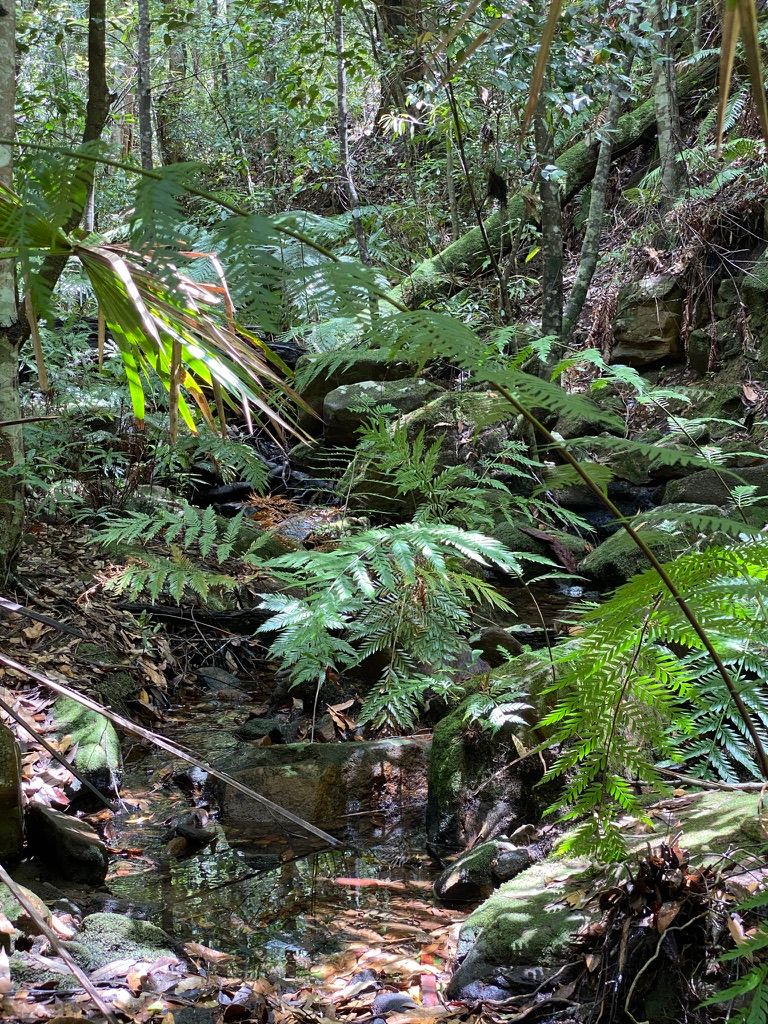
Follow this for about 500m where you will find a small trail (Couranga Walking Track) to the right with a signpost with a map. Follow this trail. This trail follows the top of a ridge through a heathland. This soon starts to descend down the hill winding around to the left. The trail then becomes quite rocky (pictured below).
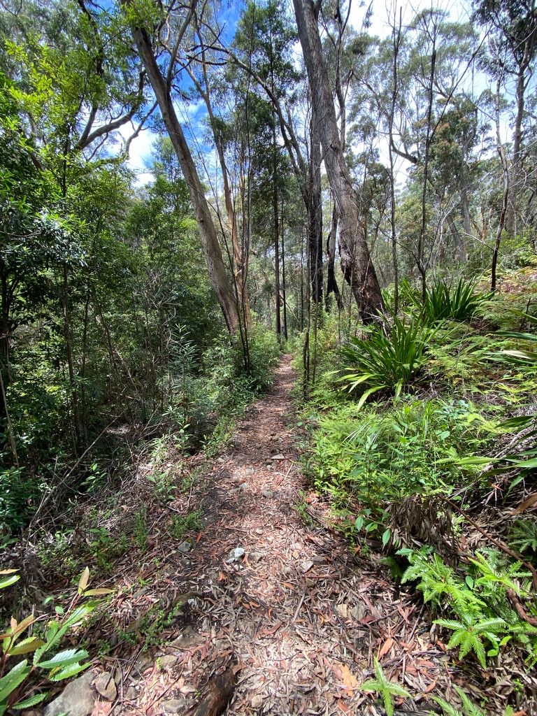
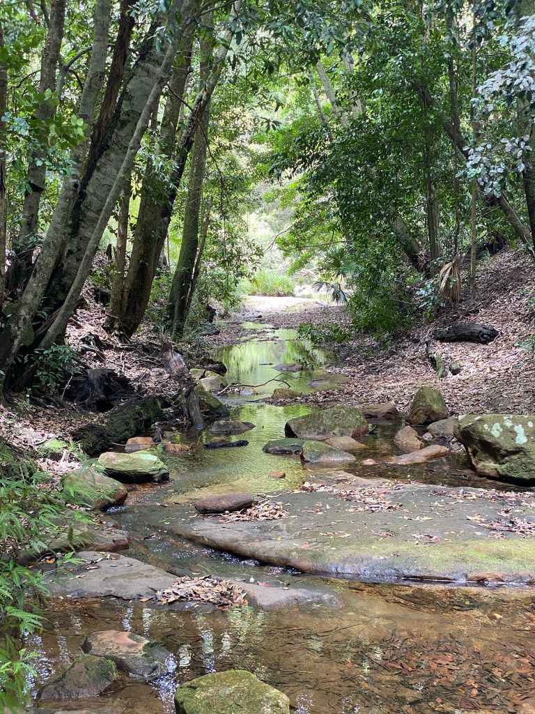
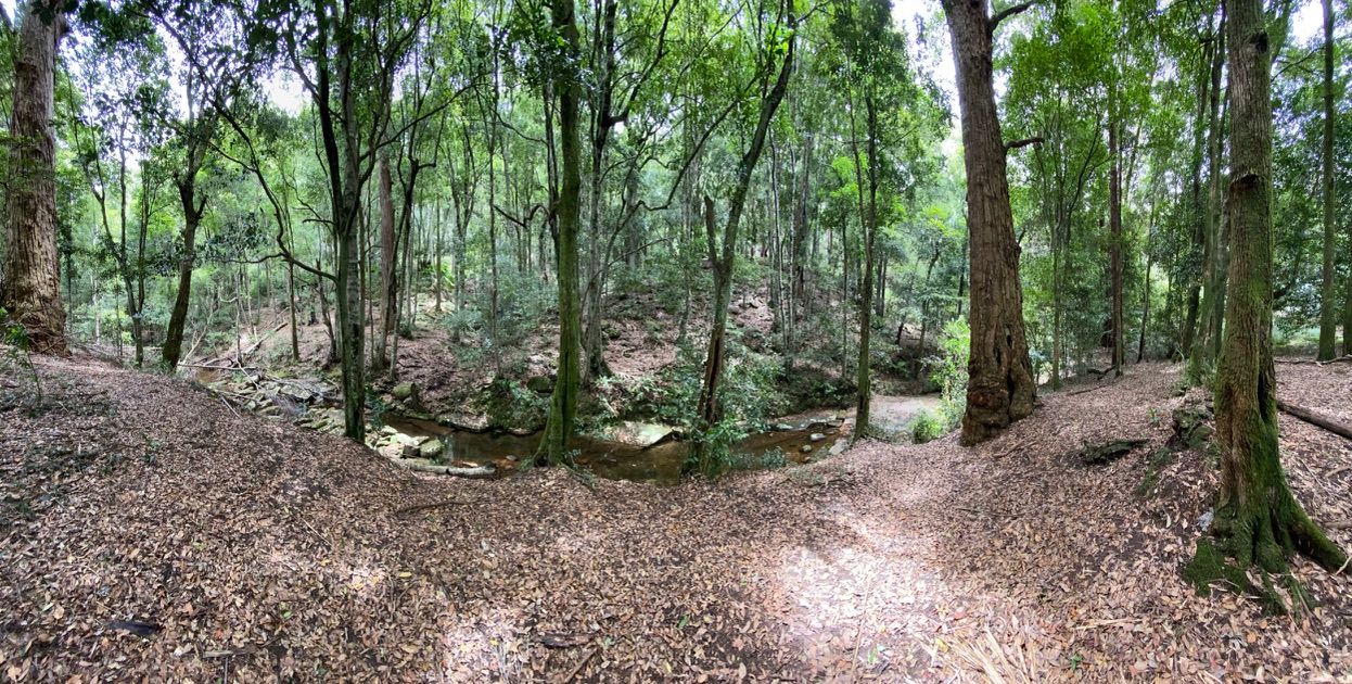
Soon you will start to walk next to a deep valley with a rainforest. Follow the path down the valley, taking in the beautiful rainforest to your left.
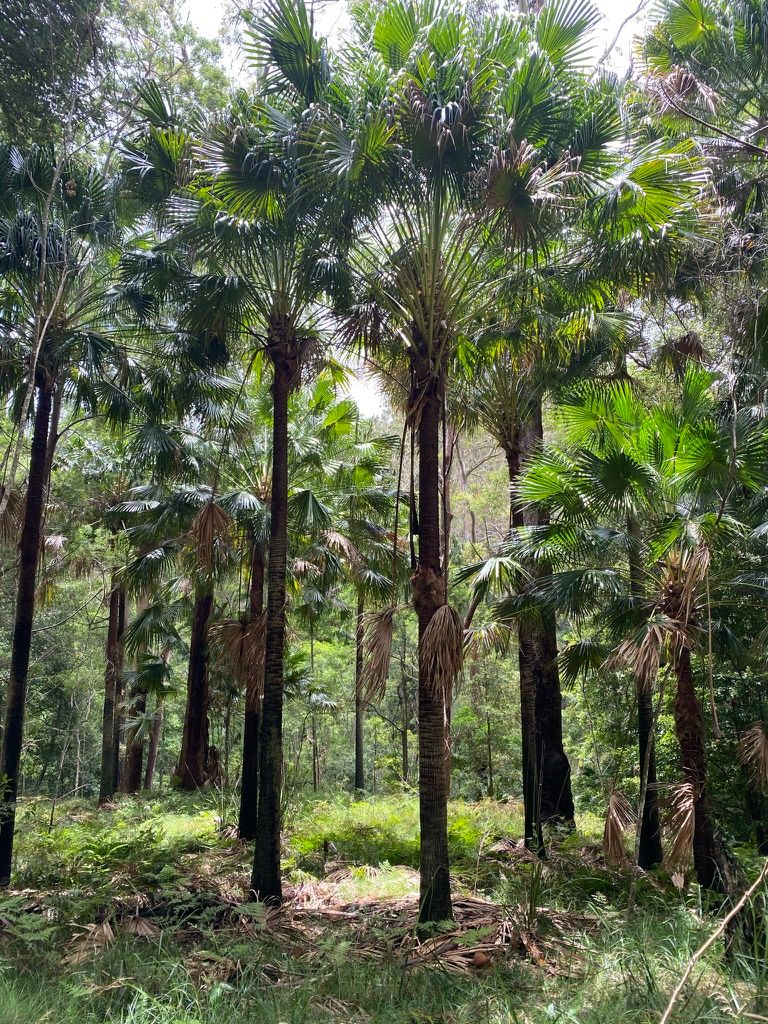
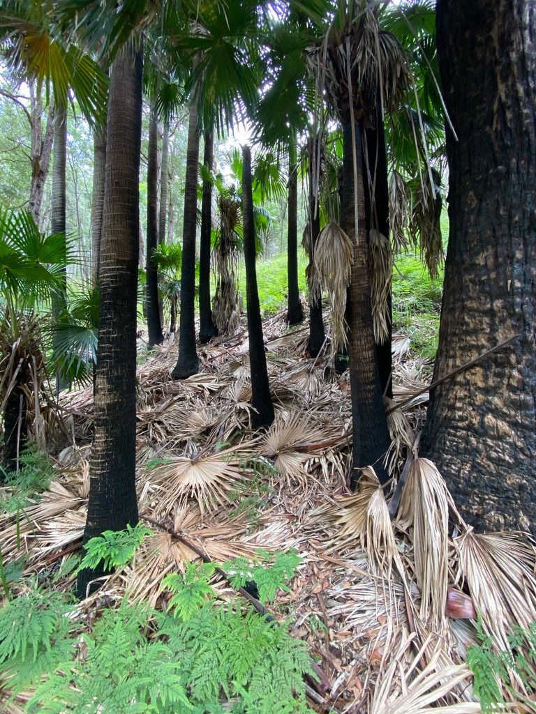
The path will start to open up and you will be surrounded by towering charred palm trees. I didn't stop here for lunch but I do recommend it.
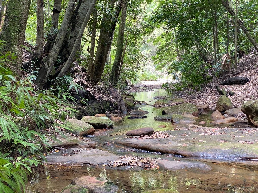
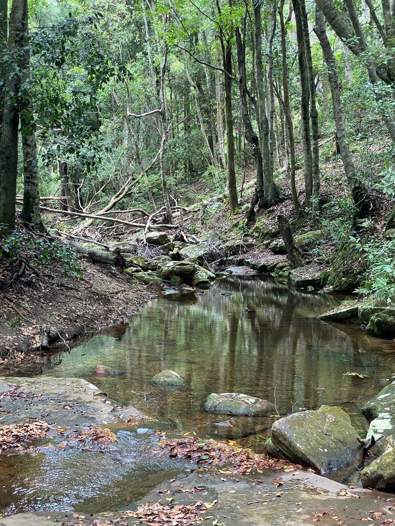
You will eventually meet with the Hacking River. You can cross the river here and walk the loop around Forest path. The river here can sometimes be too high to pass.
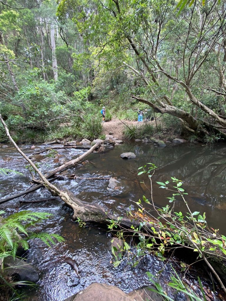
Walking along the river you will be greeted with some amazing views. You will reach an open area across the river that is perfect for lunch.
This is pretty much the end of the trail. I followed a few sidetracks around here then headed back up the hill after lunch following my footsteps back to Uloola Firetrail. I followed Uloola Firetrail for a kilometer or two along the ridge before returning back to the train station.
| Where: | Royal National Park. Trail starts at Waterfall Train Station |
|---|---|
| Distance: | 4.6km one-way. |
| Grade: | Grade 3 |
| Map: | Wollongong Topographic Map 25k - 9029-2S |