Coba Ridge Point via Neverfail Track
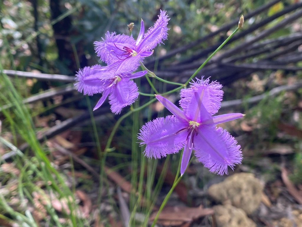
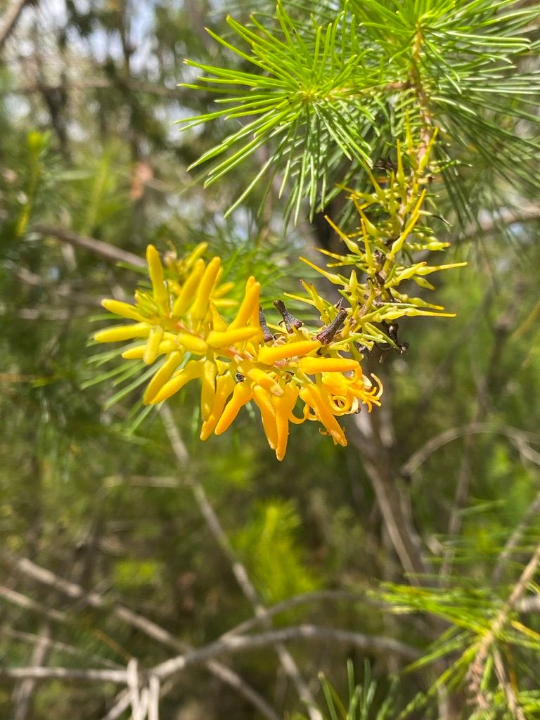
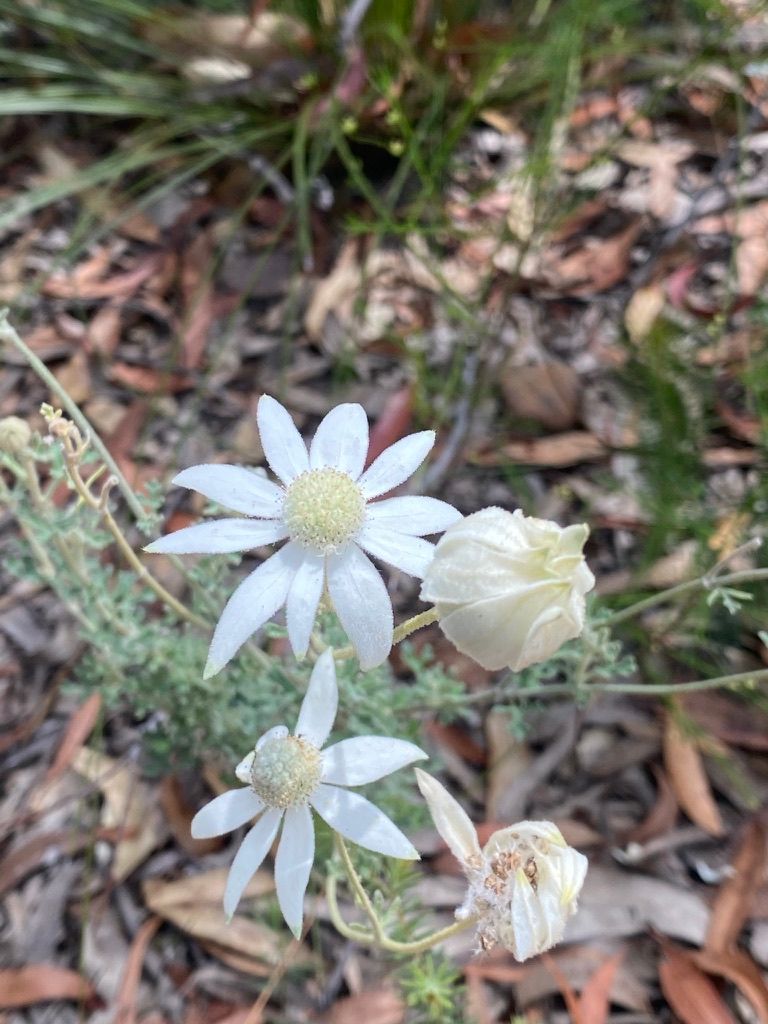
A pleasant day hike through Marramarra National Park, It offers wonderful wildflowers and stunning views of Berowra Creek from multiple vantage points.


Marramarra National Park is a hidden gem. This trail is less popular than other walks in Sydney but offers better views and birdlife.
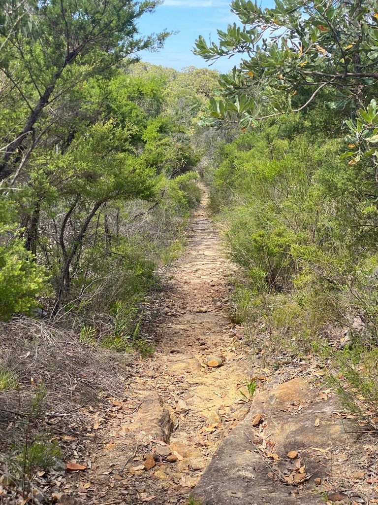
This easy walk starts at the end of Bloodwood Road, Fiddletown. You will see a sign for the Neverfail Fire Trail which follows the ridge. This trail may also be called "Coba Ridge Firetrail" depending on where you look. Follow this trail along taking in everything around you.
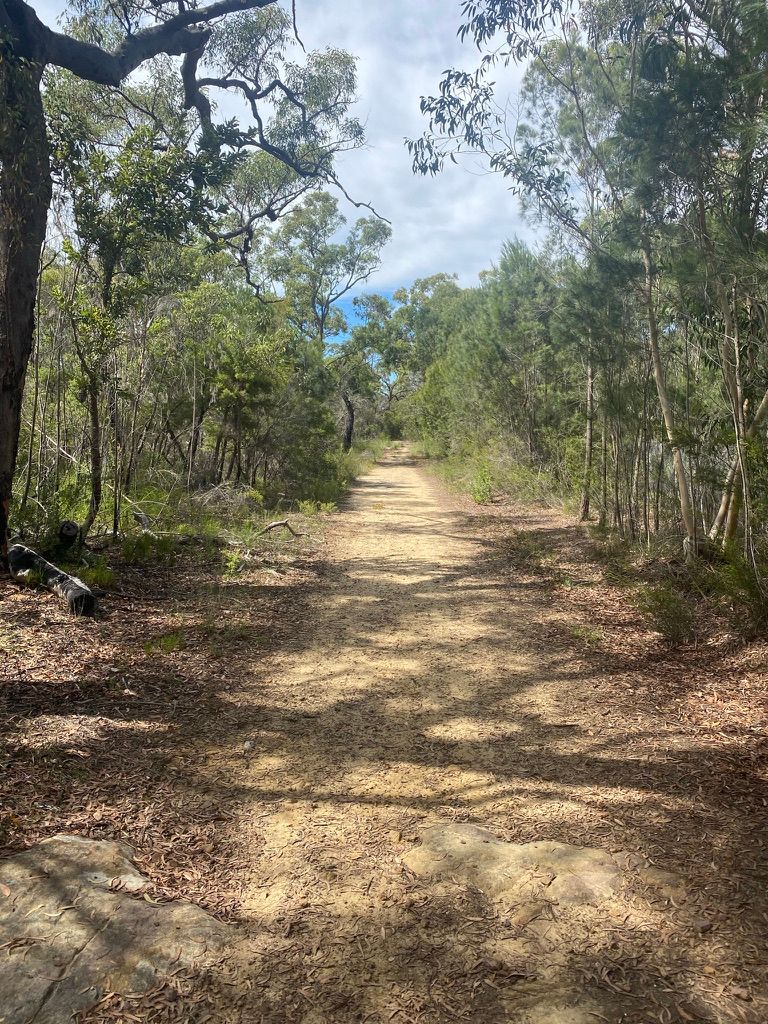
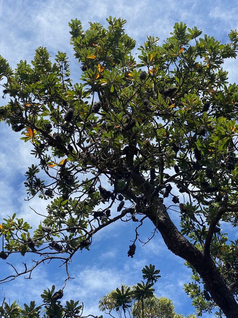
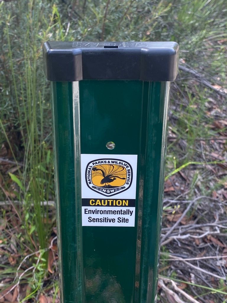
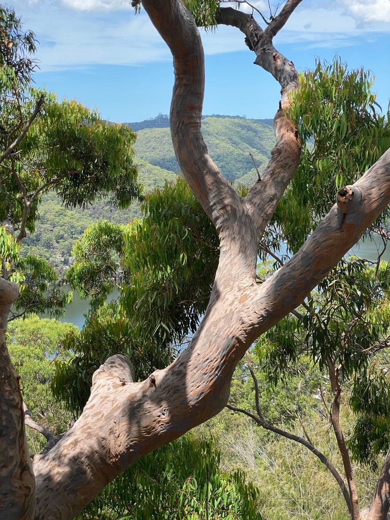
You will pass some towering Banksia trees, some of which I think are the tallest I've ever seen. You will also pass a set of signs on your left "Environmentally Sensitive Site". I had a decent look around but couldn't figure out exactly what they were for.
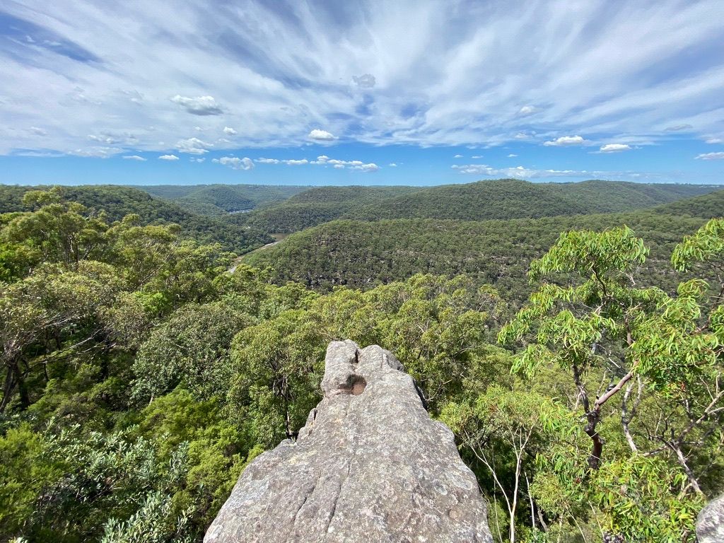
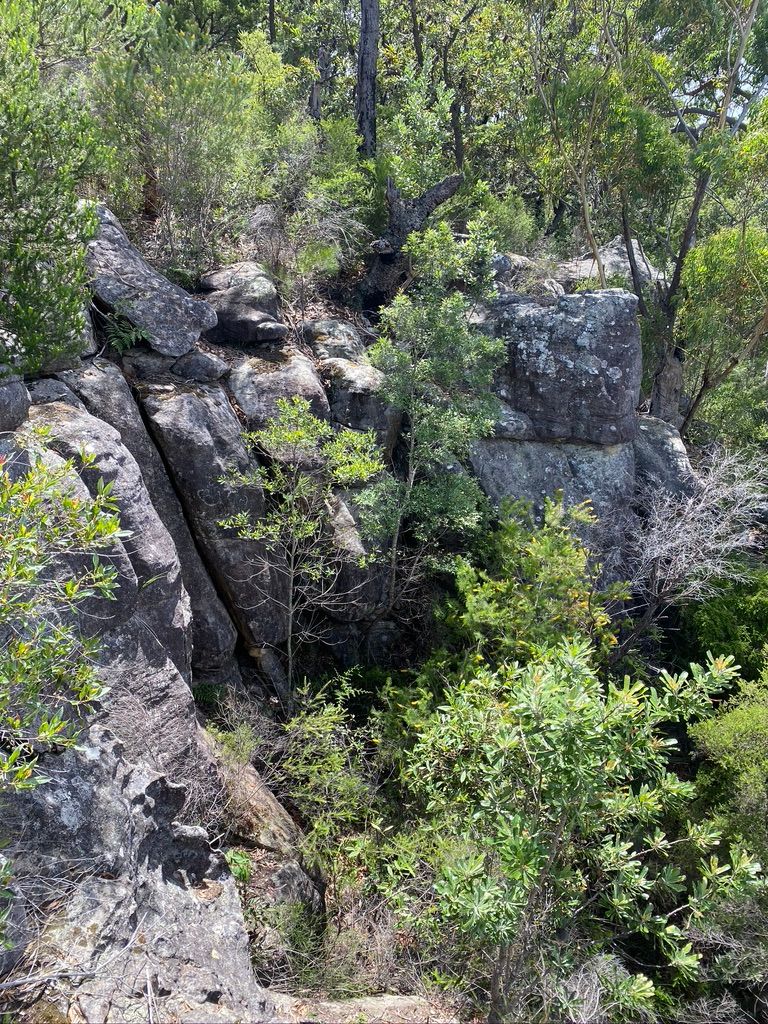
You will reach an intersection at 2.6km with signs for "Coba Ridge South - Branch Fire Trail 1" pointing to a trail on your right. Follow this down to the end to a rocky outcrop that has stunning views of Calabash Creek and the surrounding ridges from its 200m elevation.
Once you're done head back up the Branch Fire Trail and continue along the Neverfail Trail.
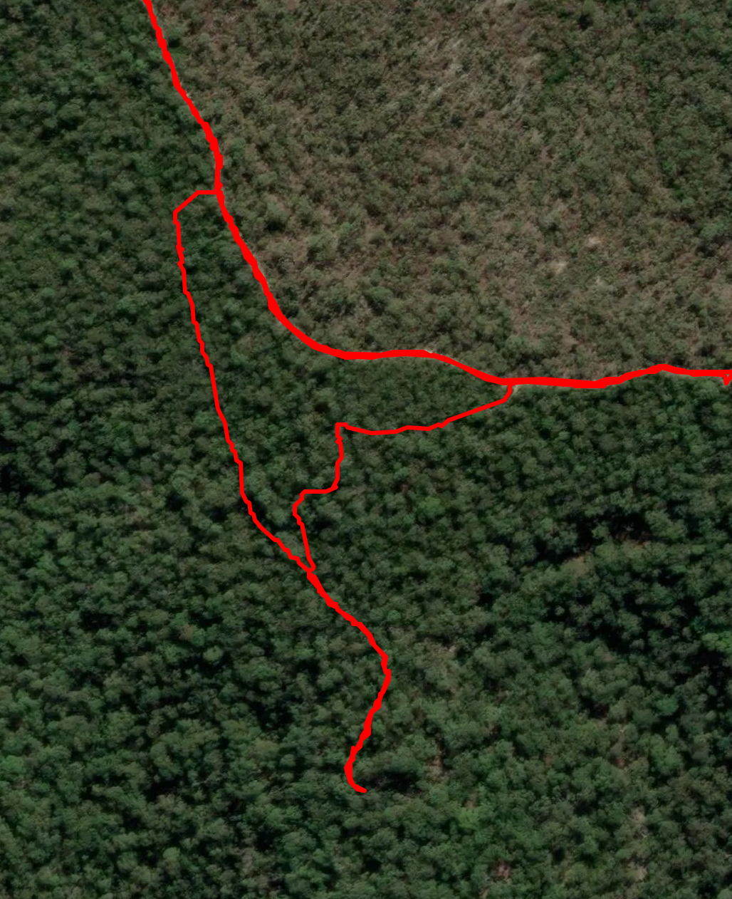
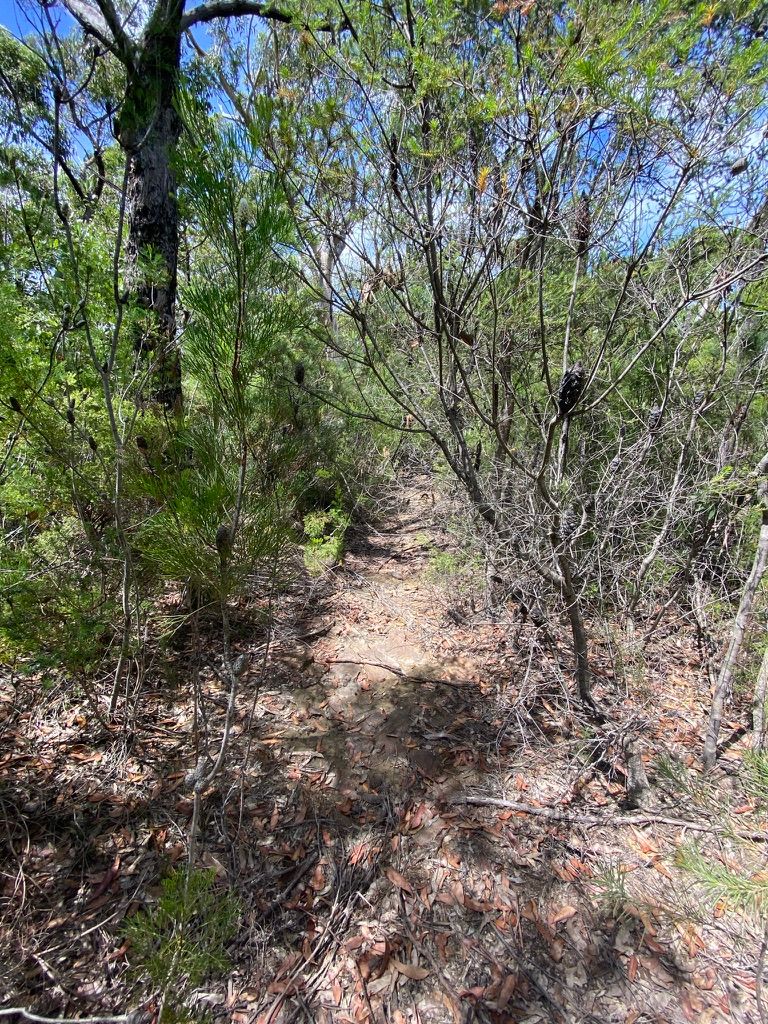
I found some extra trails on the current topographic map (COWAN 9130-4N) that I wanted to wander down and explore. I walked past all entrances to these trails and had to backtrack to find them. I eventually found the trail and followed a very overgrown trail. Parts were clearly a trail, others parts had reverted to thick bush. After having to bush-bash down most of these trails and not finding anything of any significance, I retraced a trail back to the Neverfail Trail.
I would not recommend going down this trail without a GPS or compass as all orientation is lost quickly in the thick scrub. I chatted to another hiker and he mentioned there were Aboriginal Engravings down a now overgrown side trail. After reviewing my GPS tracking I see where I messed up. I will revisit this side trail.
(Update. The trail to the Aboriginal Engraving site heads north off the Neverfail Fire Trail.)
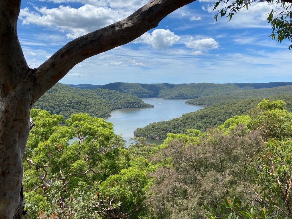
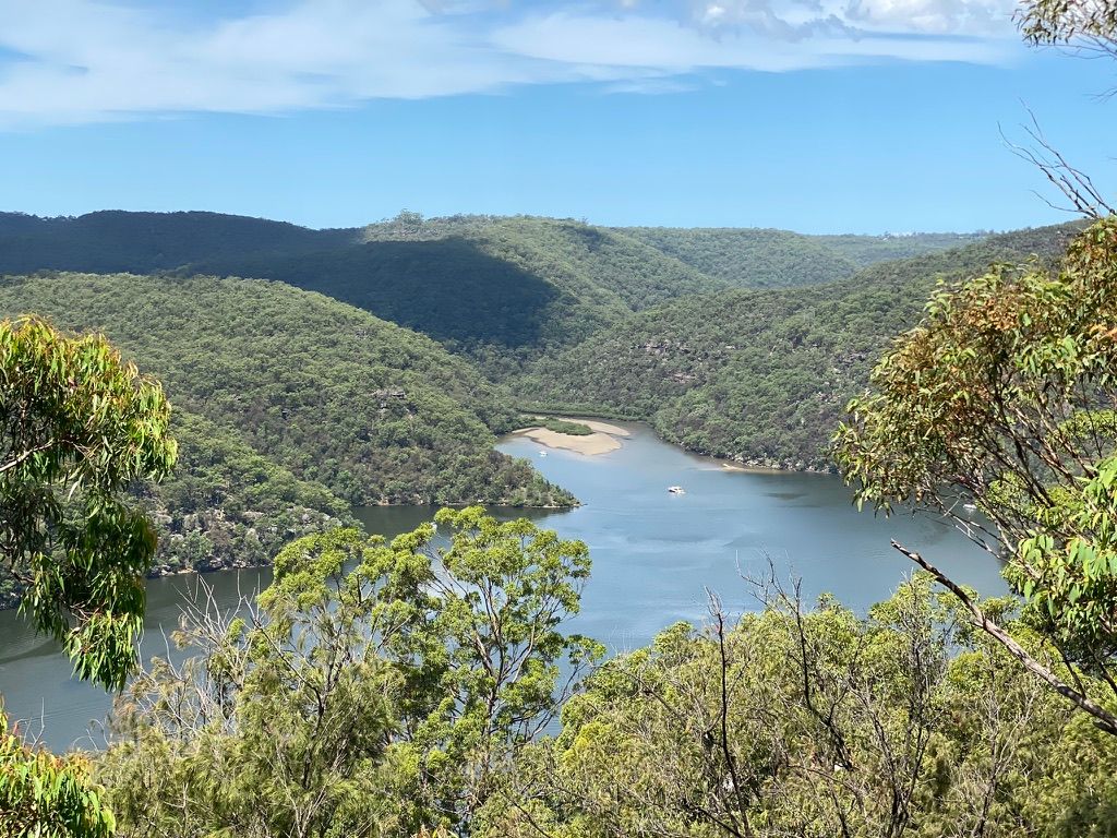
After that little adventure, I continued heading down the main trail. You will reach an intersection with a walking trail to Coba Point that heads off to the left. I will revisit this on the way back. For now, continue heading down the Neverfail Ridge Trail marked with a sign. This follows the ridge top down to Collingridge Point. Once there, you will have a choice of multiple lookouts on the North West, North East and South East. By far the best is out on the point where you look out to Berowa Creek. From the other vantage points, you can see Half Moon Bay, Joe Crafts Bay and twin Gums on the opposite side of the Creek. This is a great spot for lunch or even the night.
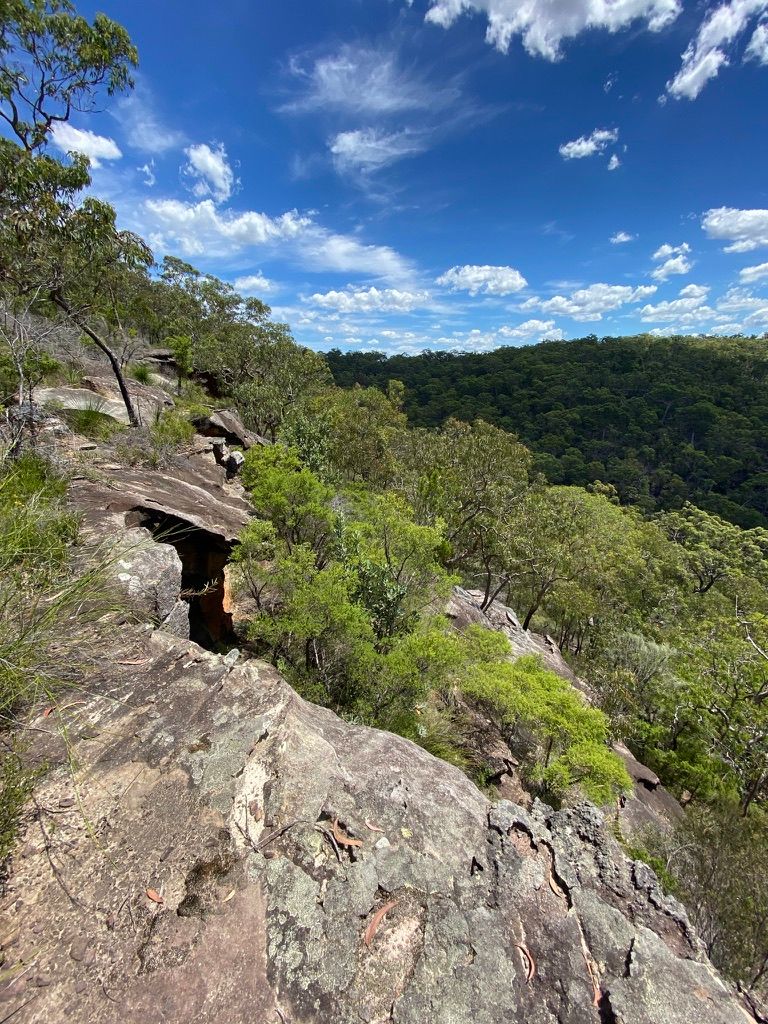
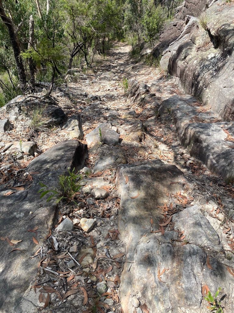
After lunch, you can head back along the trail back to the trail entrance. On the way back I decided to follow the Walking track to Coba Ridge and find a historic trig station (TS1808 DENNY). This walking track is a grade 4 trail and is quite rocky. I used my GPS to locate this trig station as it's a bit off the beaten track and cannot be seen from the trail. There is a small cairn along the trail indicating where it is.
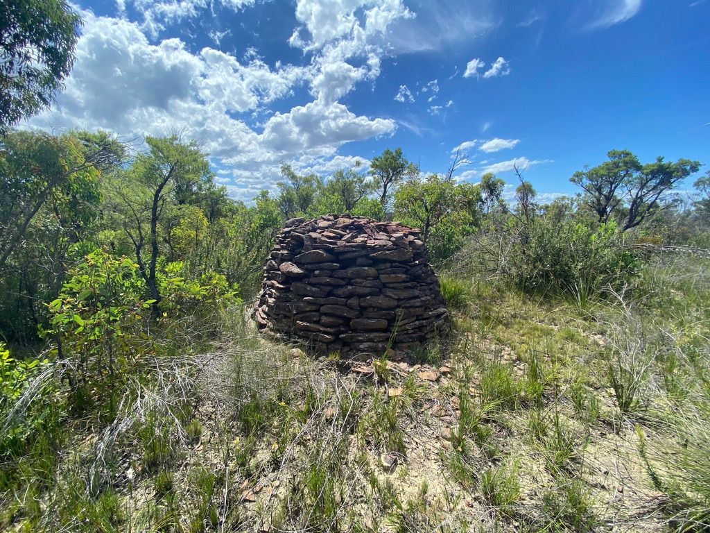
This trig has rusted away but there are fragments of the original structure still at the site. After this, I turned around and headed back to the Neverfail Trail and back to my car. On the way back I managed to spook a feeding Black Cockatoo that was only meters away from me.
I enjoyed this hike even though it was 20km with all the side trails and whatnot. I'll revisit this trail and head all the way out to Coba Point one day, maybe an overnighter.
| Where: | Marramarra National Park. Trail starts at the end of Bloodwood Road, Fiddletown |
|---|---|
| Distance: | Collingridge Point: 10km return. South Ridge: 7km return Collingridge Point, South Ridge & Trig Station: 20km |
| Grade: | Grade 3, Coba Point Trail Grade 4 |
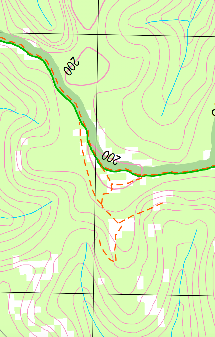
| Map: | COWAN 9130-4N |