Bynguano Range walking track

So I've wanted to do an outback hike for a while. I've had my eyes on the Larapinta trail for a while. Then I had a brainwave. Does NSW have any outback hikes? It turns out it does. Mutawintji National Park near Broken Hill can only be described as a hiker's paradise. It has a total of 6 walks and a wilderness area where you can create your own hike. As a bonus, the recent heavy rainfall turned the red desert green.
After a few days of driving from Sydney, my first walk was the Bynguano Range walking track. The most challenging walk in the park. I set off early from the campsite and had the entire trail to myself.
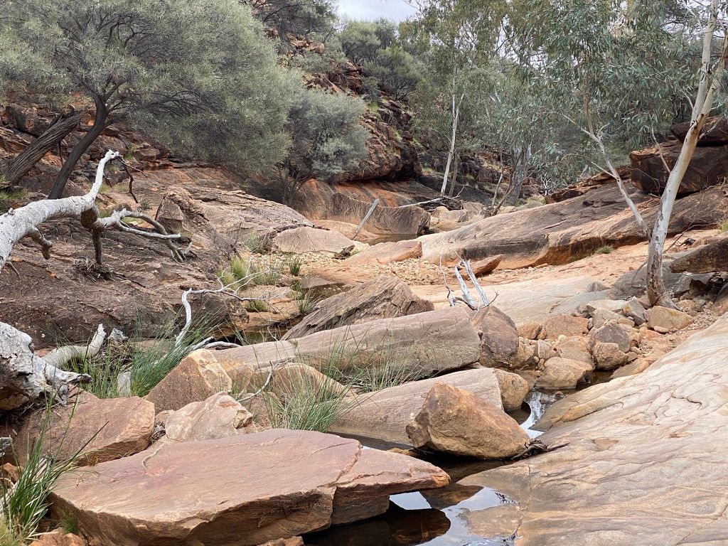
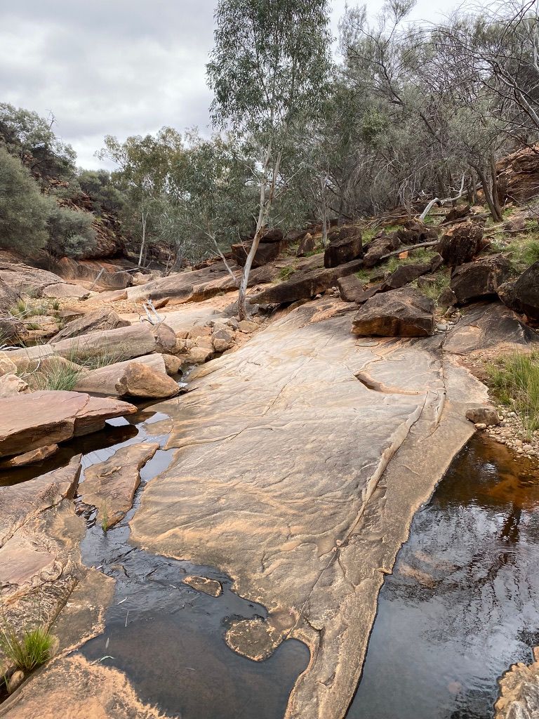
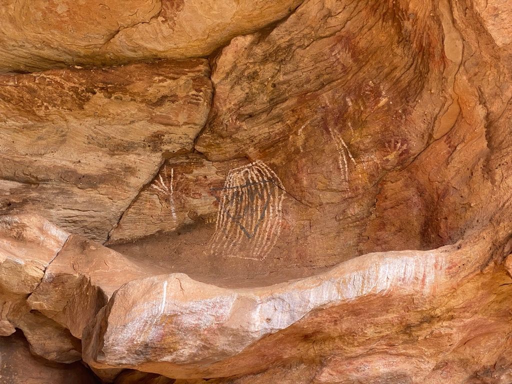
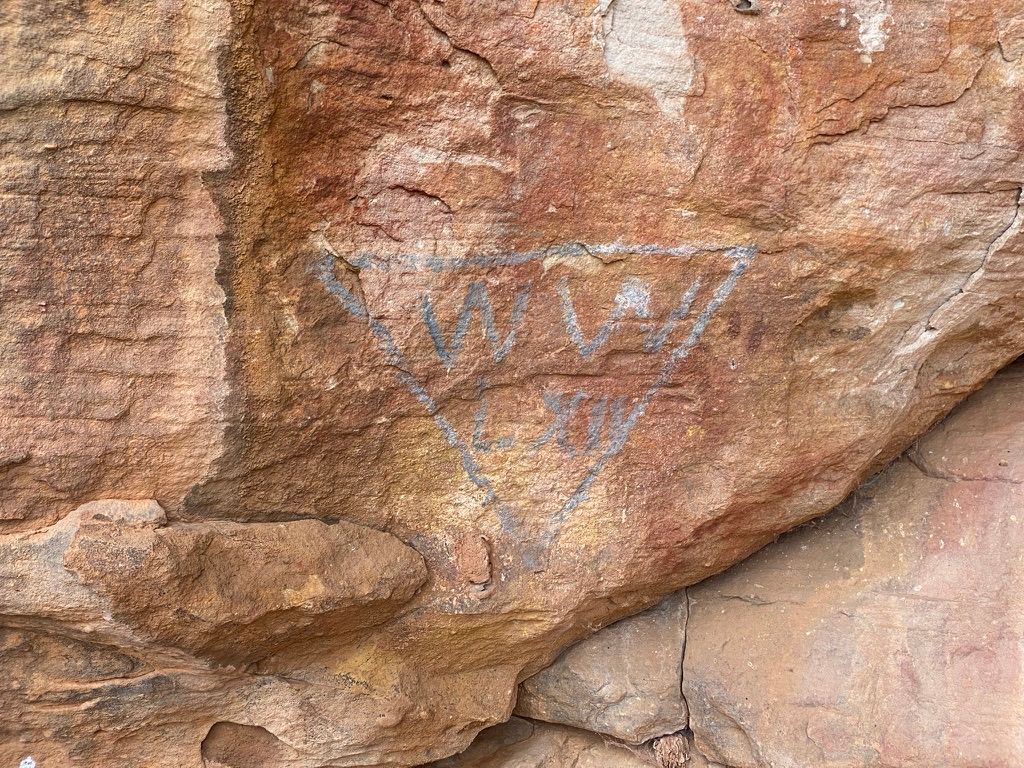
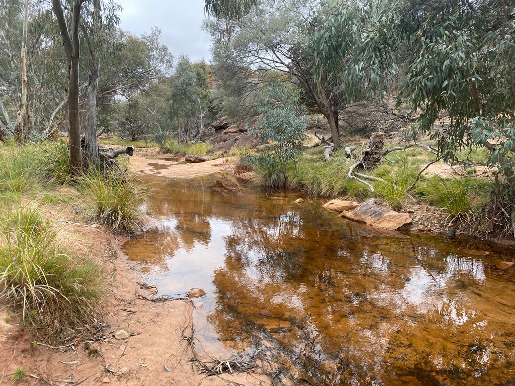
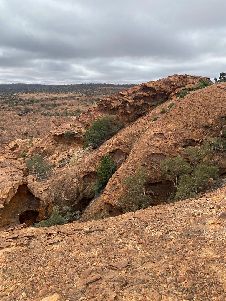
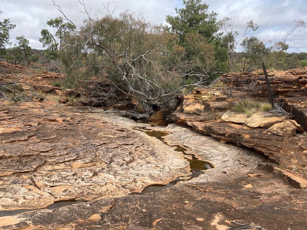
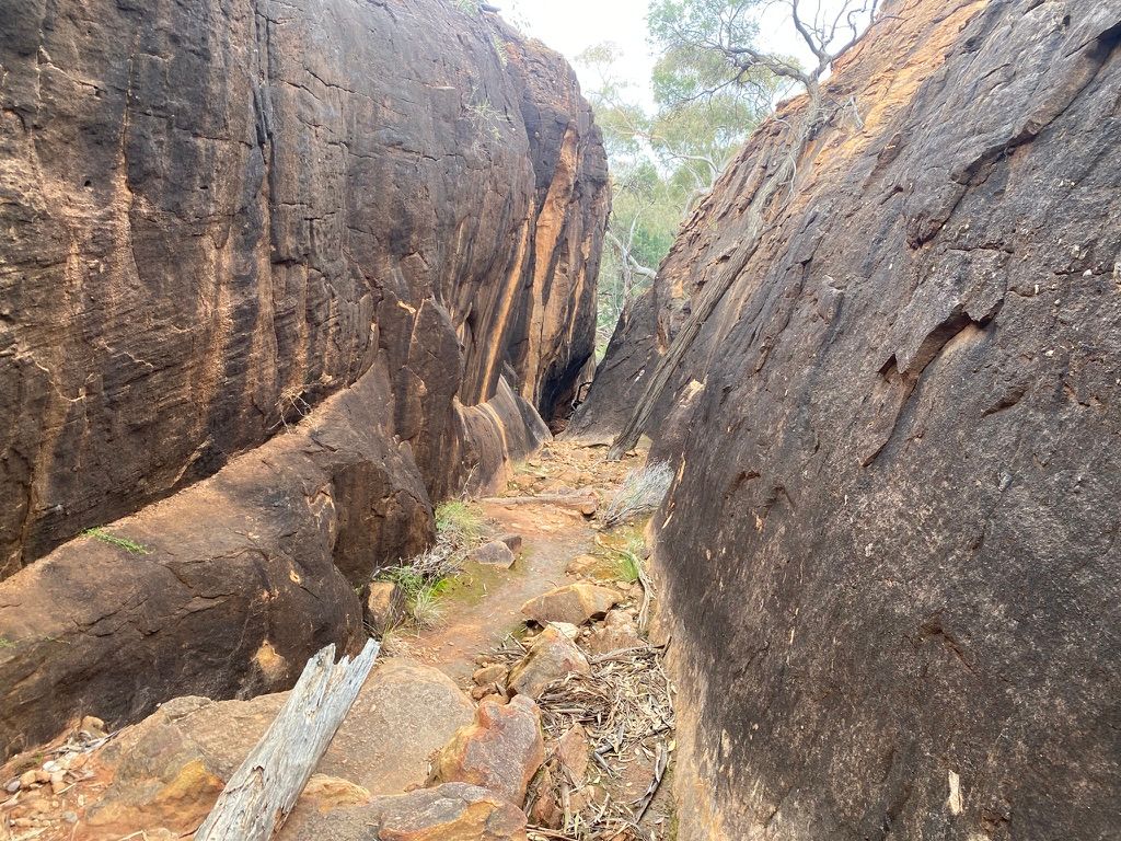
The start of the walk follows the Homestead Gorge walking track, which passes by a large cave with rock art and some graffiti from some early explorers. The walk then drops down some stairs and into the dry creek bed. The gorge is surrounded by dark red craggy stand stone. Because of the recent rain, parts of the creek have water.
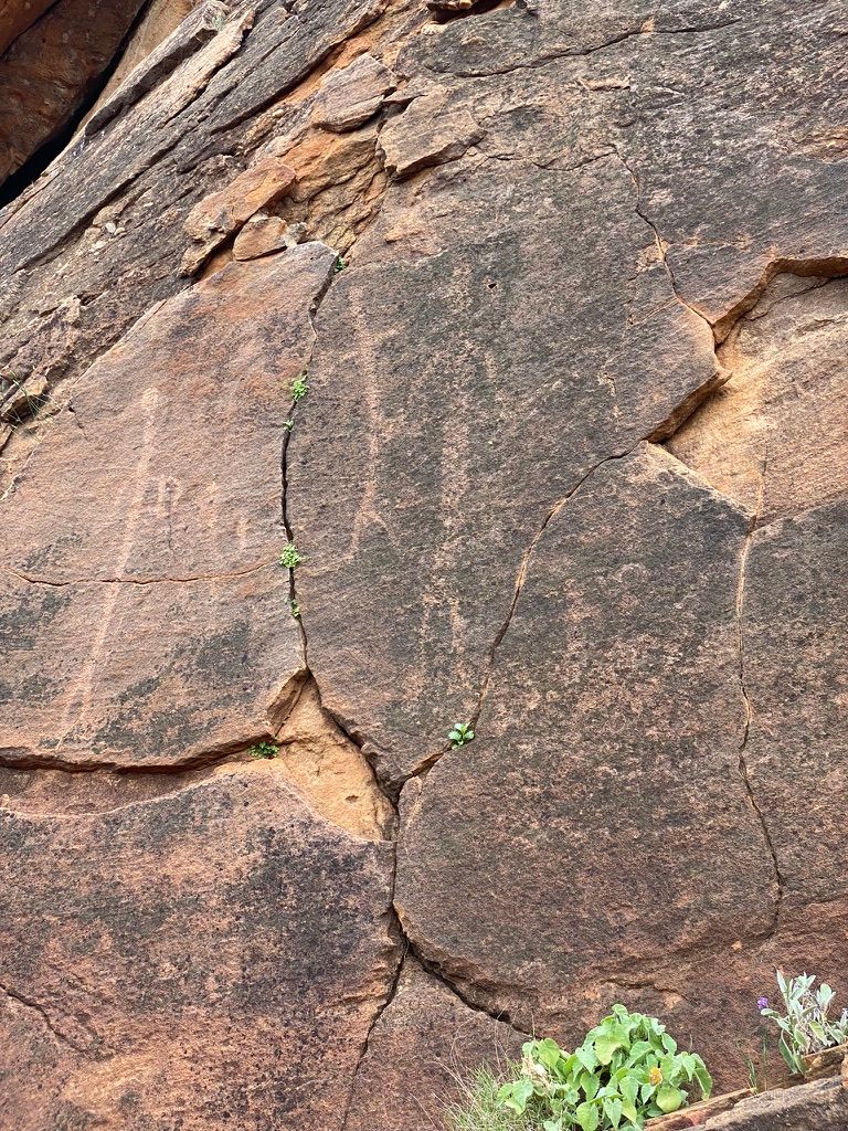
At this point, I can't find the start of the Bynguano Range trail. I follow a few signs up a wrong track and see some rock engravings. I backtrack down to the creek and use a digital map to get myself to the first trail marker on the track. The general area has really poor maps. The topographic maps only go down to 1:100 000. I relied heavily on digital offline maps, which were still pretty bad.
The start of the trail immediately goes up the range. It's rocky, and the environment around me is nothing like I've ever walked in NSW. It's at this stage. I'm glad it's a cool day because this environment looks like it would get really hot.
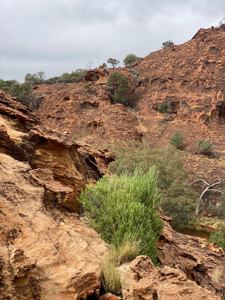

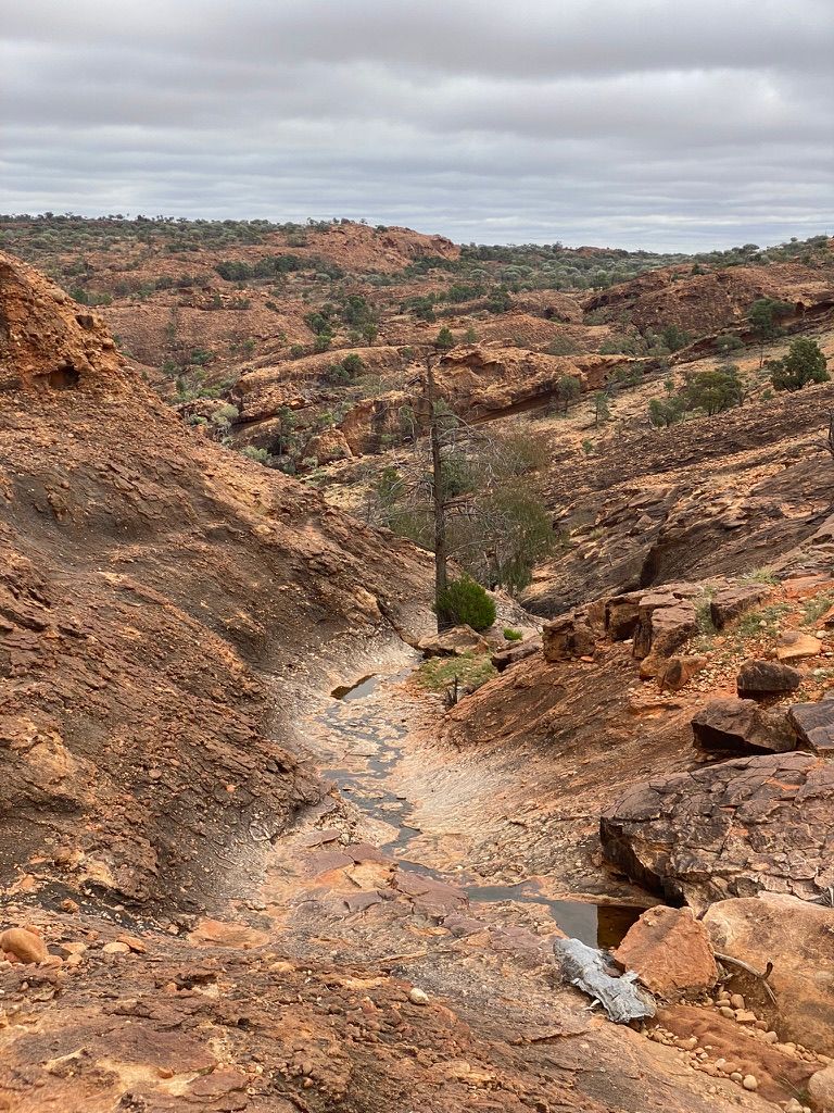
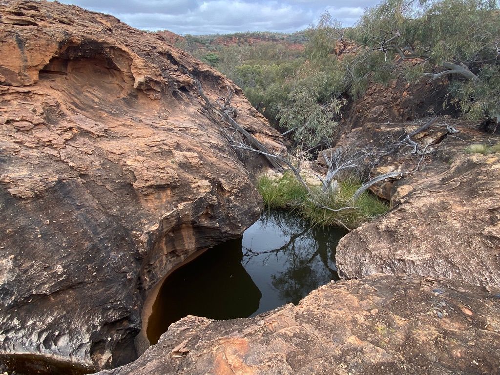
As I work my way up the range, I pass a few pools of water. The trail angle is quite steep and narrow on the way up. A few sections are exposed. I'm constantly checking my shoe grip where there's exposure. The views are breathtaking.
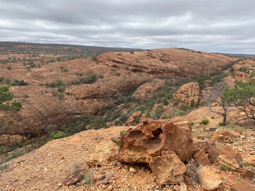
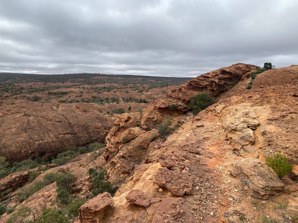
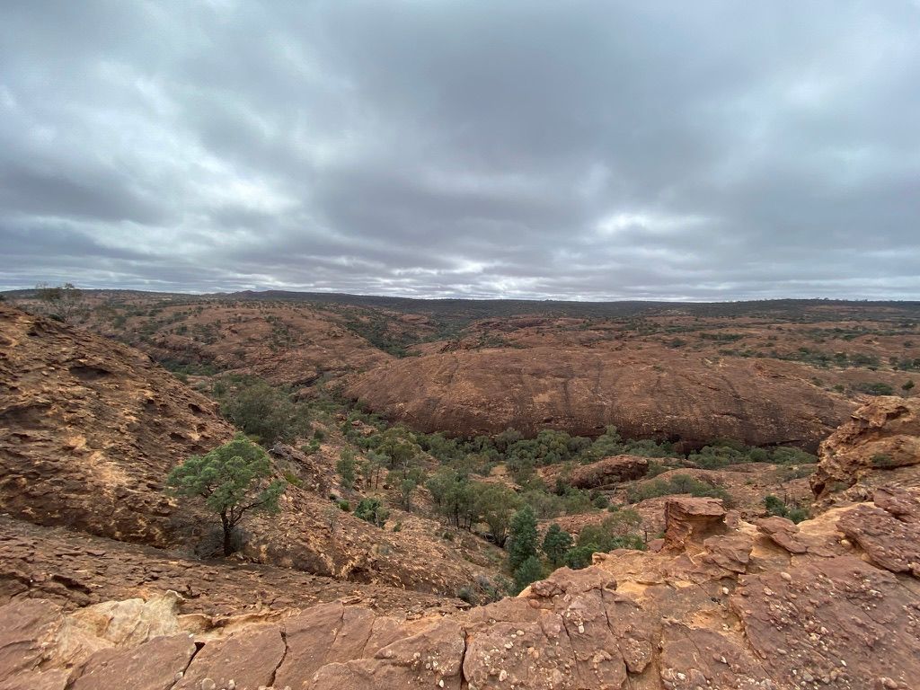
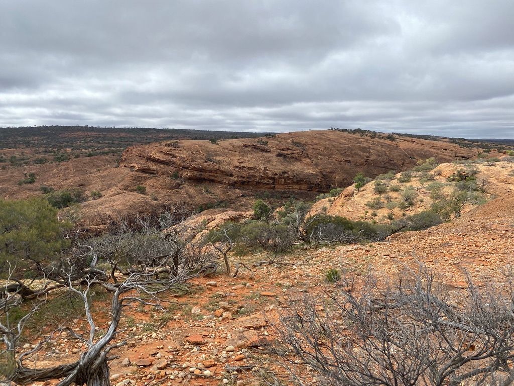
Once I get to the top, I walk over to a cliff edge, where I'm treated to a view of rocky gorges on the other side of the Bynguano range.
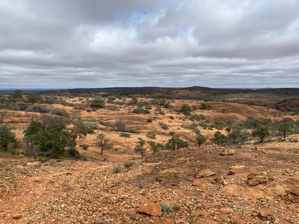
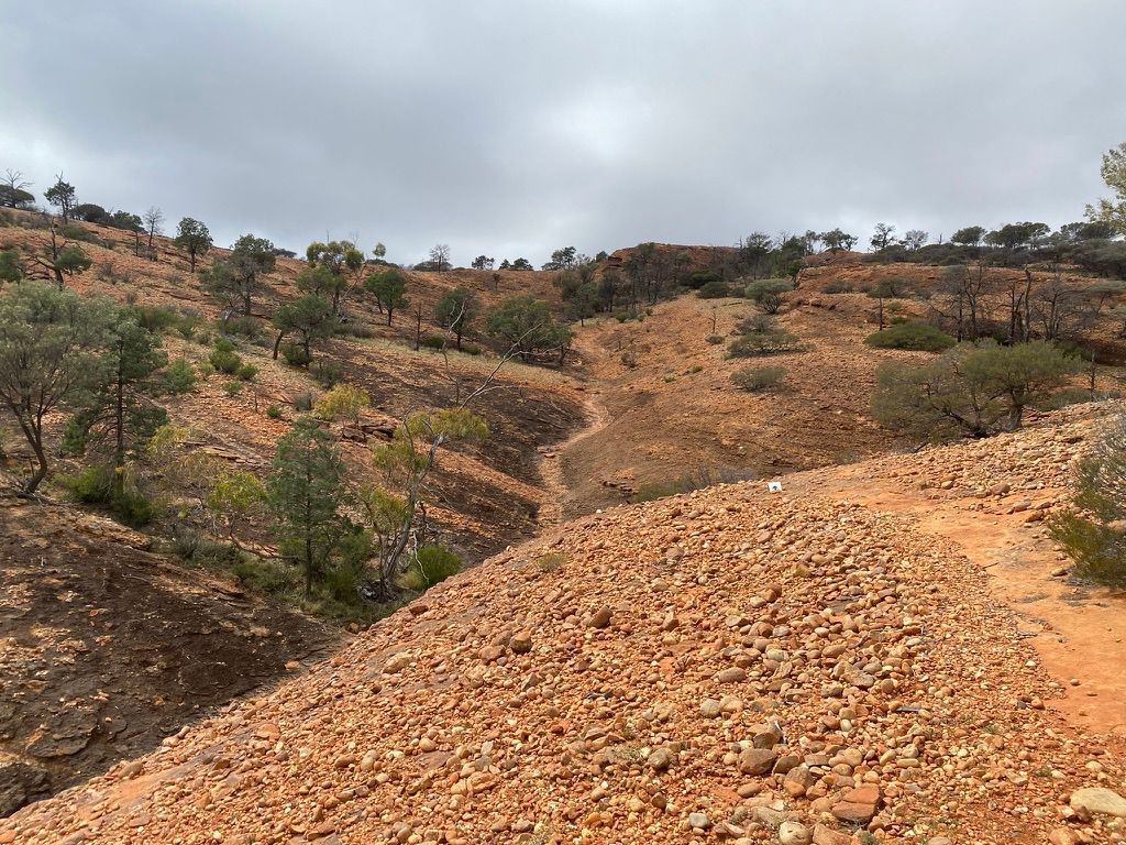
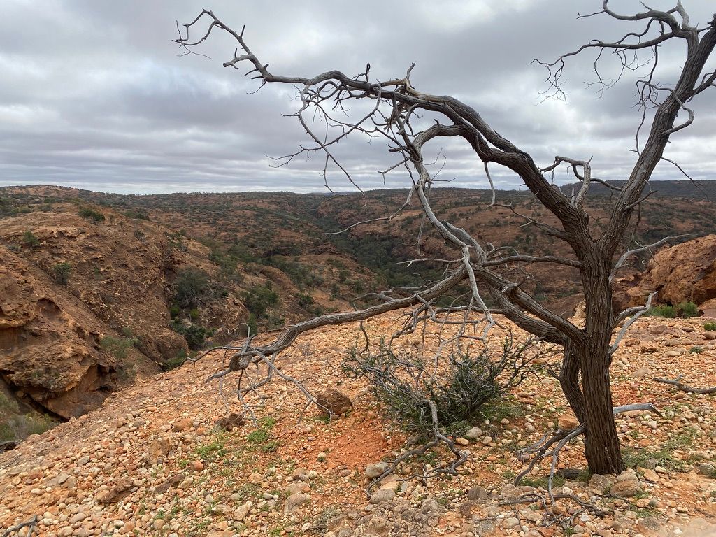
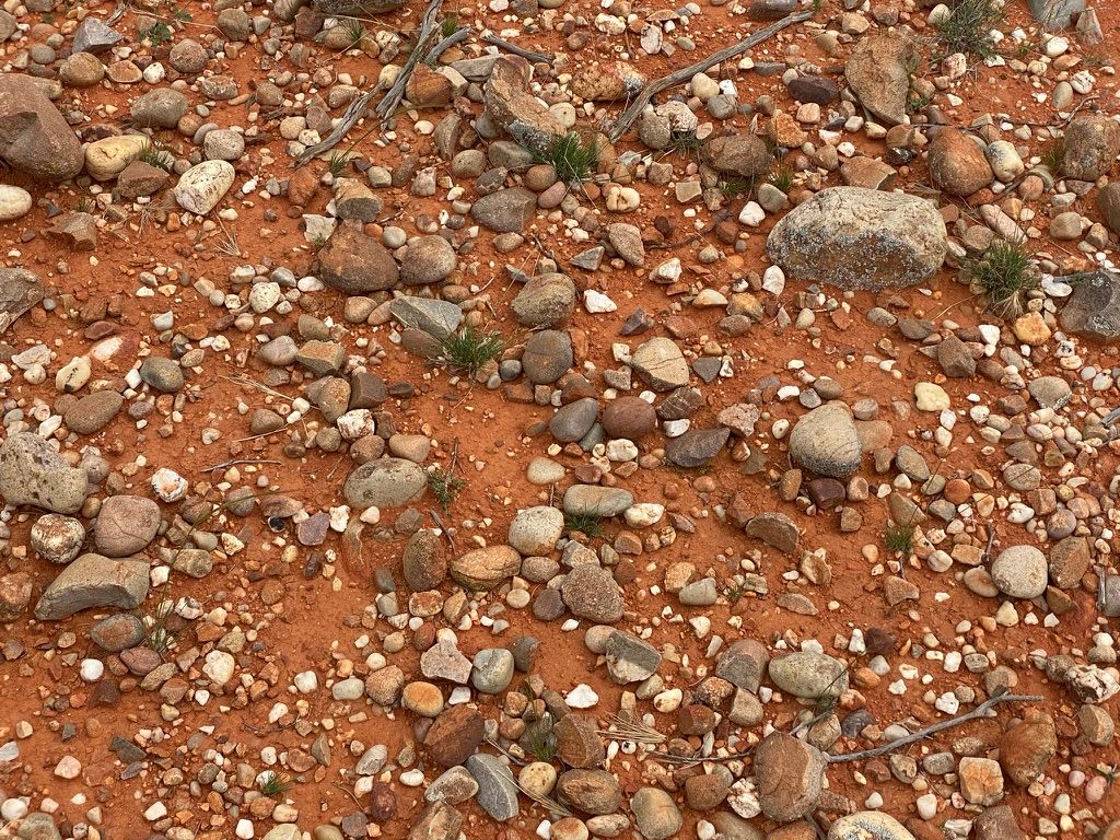
The walk from here walks along the top of the range and is relatively easy. The old pines on top of the range highlight the harshness of the environment. I'm also surprised to see river stones on top of the range.
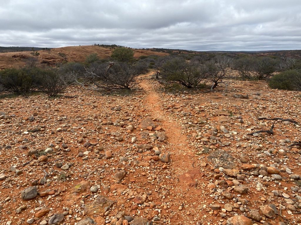
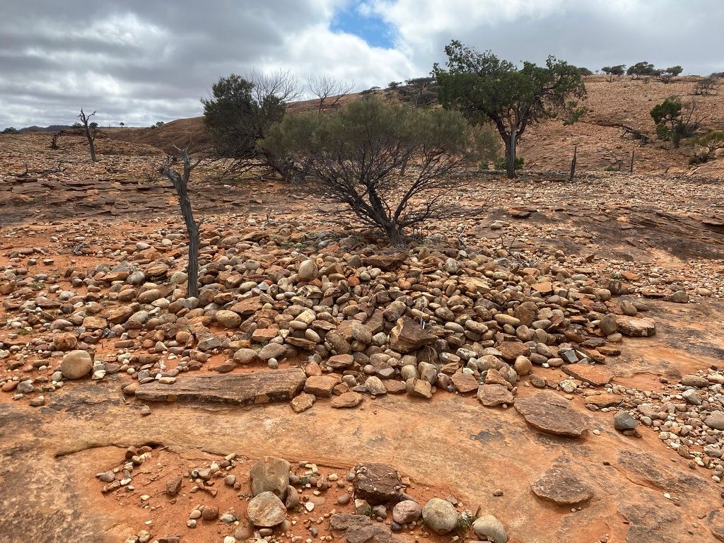
I pass an aboriginal-sensitive area. It's an arranged mound of stones. I can't figure out what it is. It looks old.
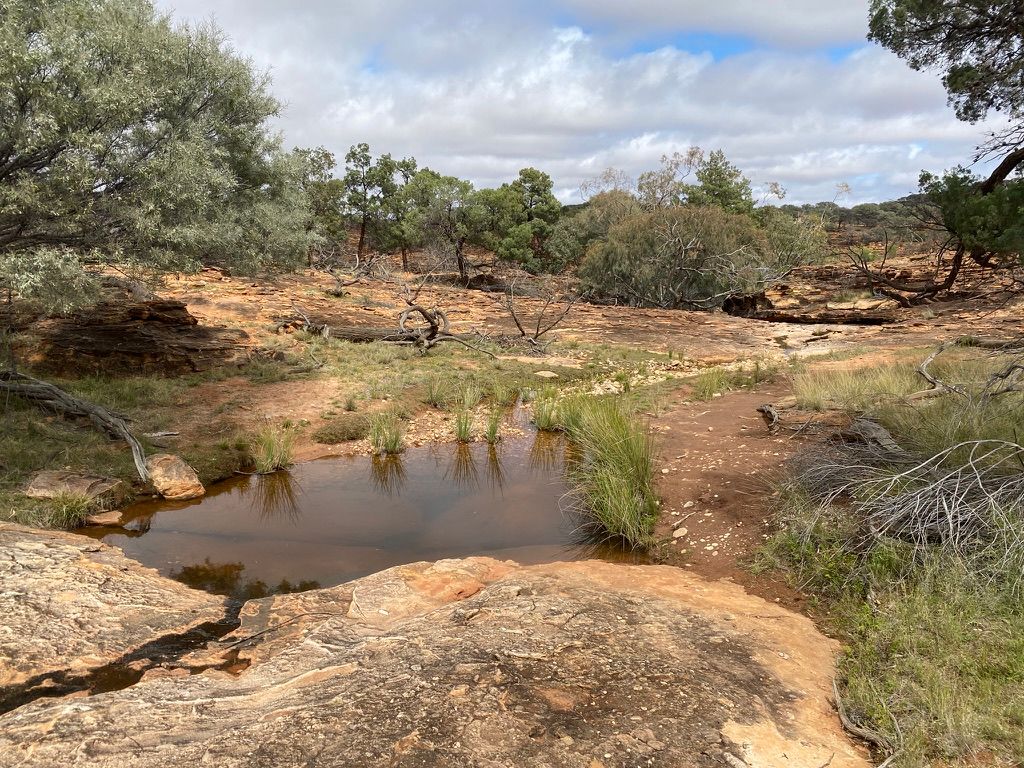
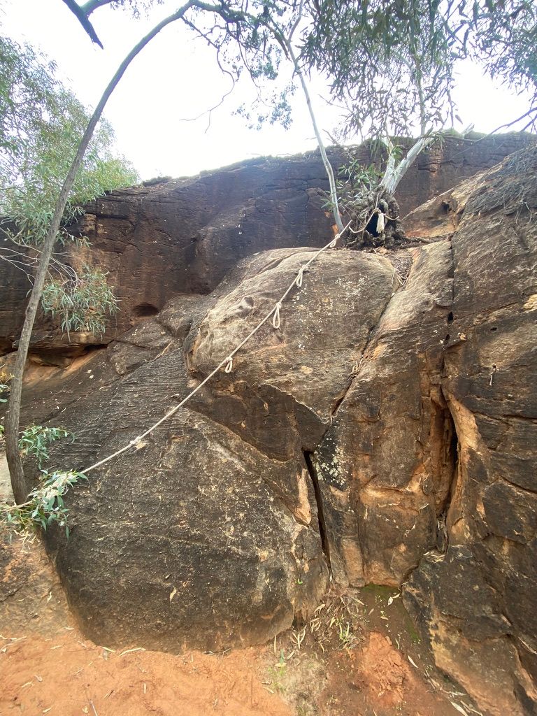
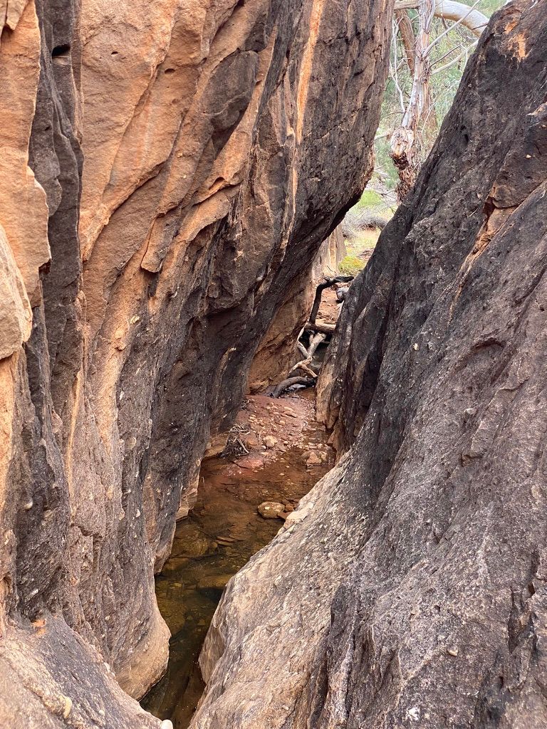
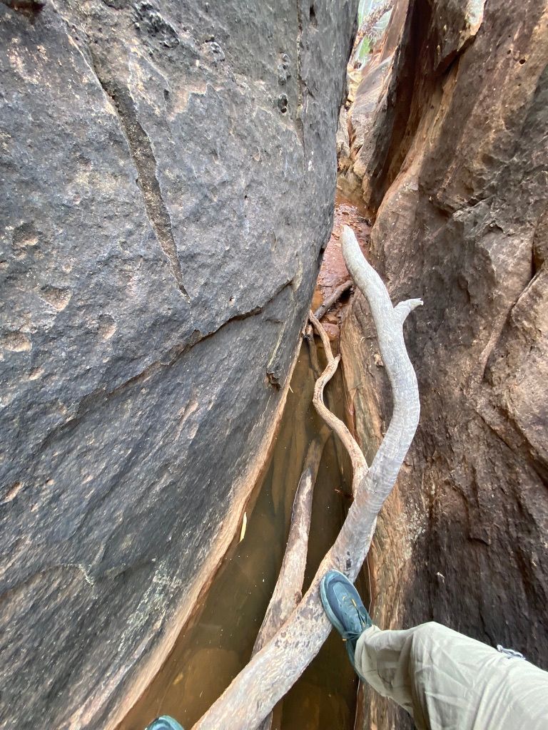
I start to walk off the range. I pass a few water holes. The trail then requires you to lower yourself down a 4-metre near vertical ledge with a rope. I grab a low rung of the rope and walk down the ledge.
Immediately after this, there is a very narrow rocky passageway that you need to walk through. You will need to wedge yourself between the two rock walls and slowly work yourself along the walls, as the gap below has some depth. It's pretty fun.
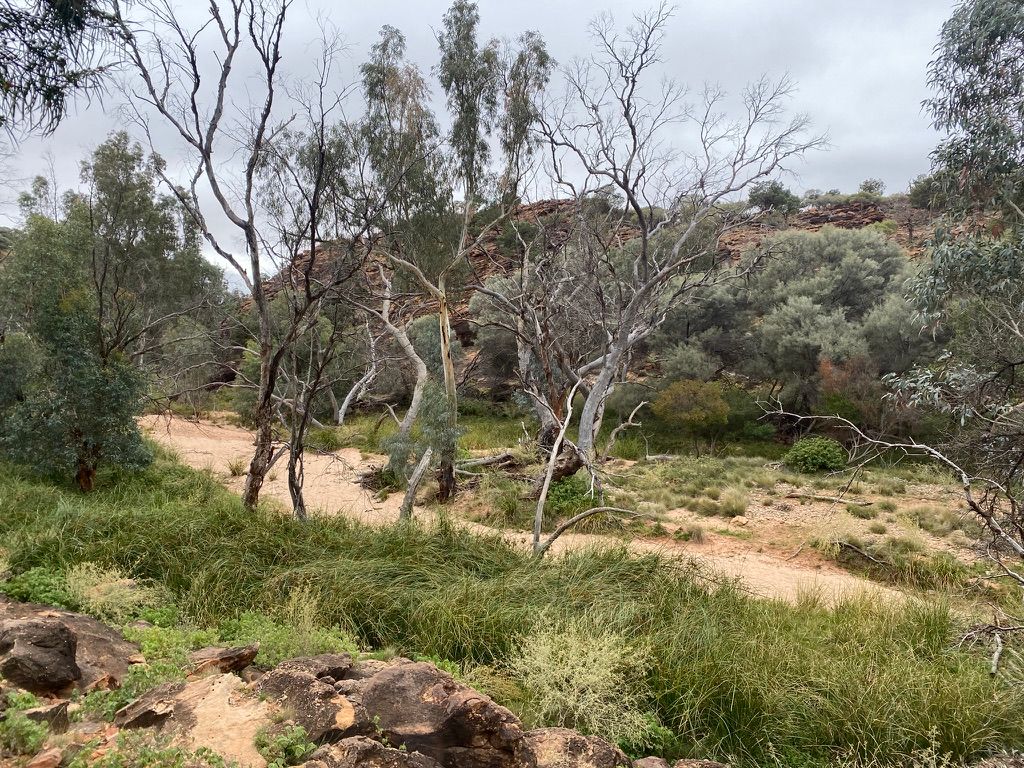
The last part of the walk follows a creek back to the start of the trail. There's no path along the creek, and there's a bit of rock hopping.