A Bushwalk in Marramarra National Park

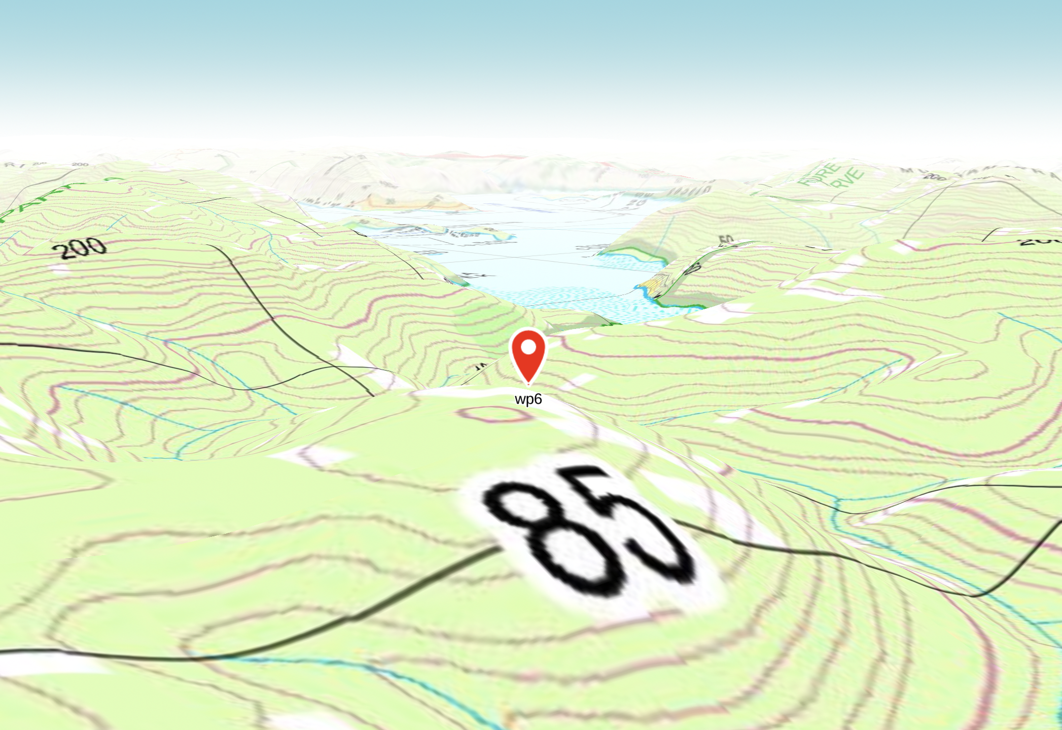
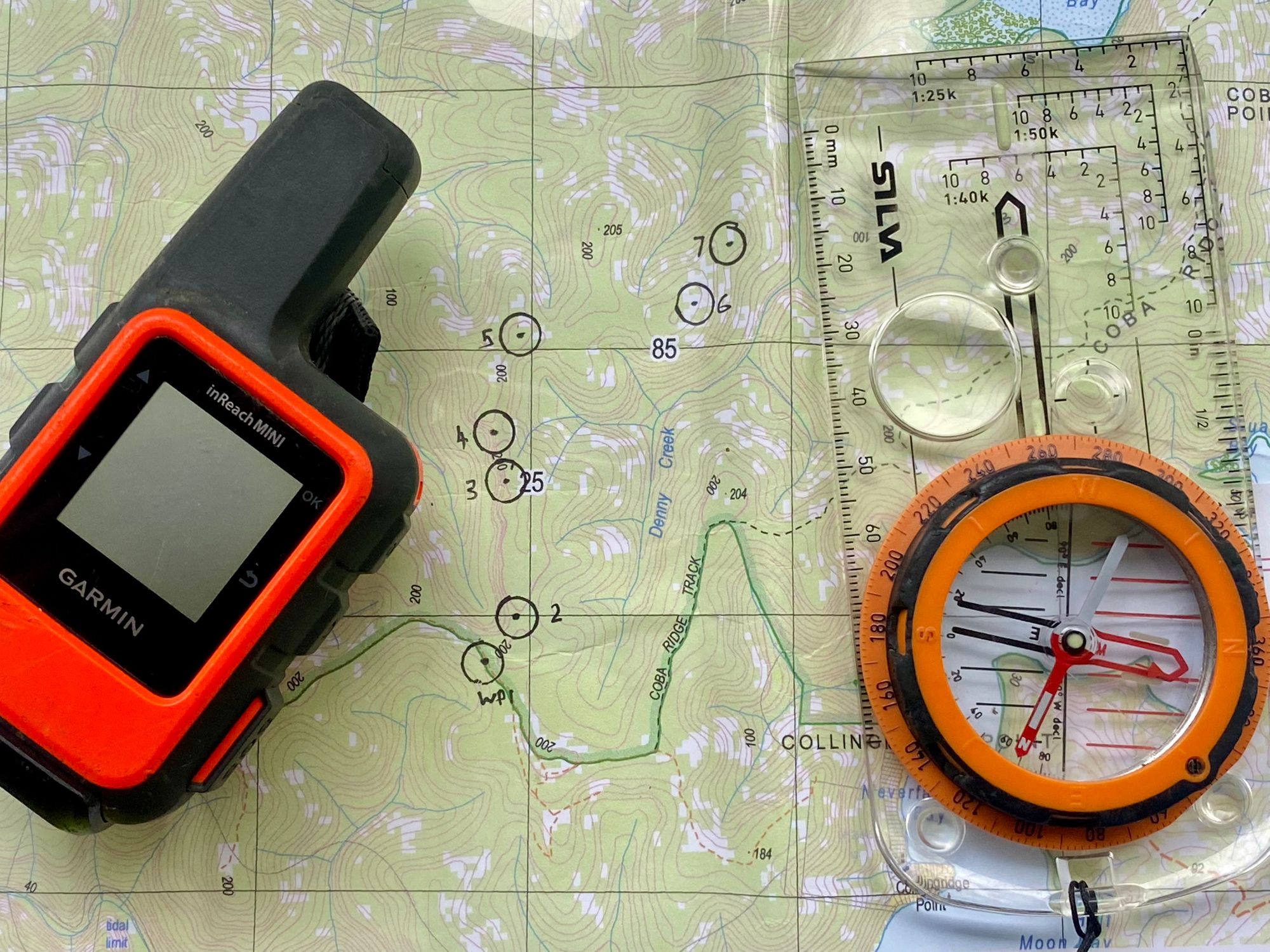
I've wanted to do an off-trail bushwalk for a while now. With a good weather forecast for Saturday, I started planning my bushwalk. Using a few online mapping tools in 3D mode. I could gauge where I could potentially find a good lookout that would look out onto some water. I found a high knoll which was a good lookout candidate. It looked out onto the Hawkesbury River which was a good bushwalk destination goal. With the location decided, I planned the route to get to this knoll. I plotted waypoints along a ridge on a topographic map. I noted down the coordinates of each of the 7 waypoints on my map. With that I was ready.
To get to my first waypoint I had to walk along an existing trail for 2km. An easy task. For navigation, I was using my Garmin Inreach for waypoint distance and bearings. I was navigating to each of the waypoints with my compass. Using the UTM reference from the GPS, I could also pinpoint where I was on the map and create new bearings/waypoints around obstacles.
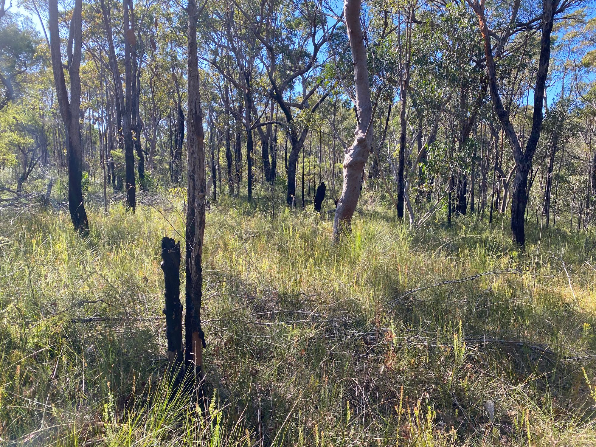
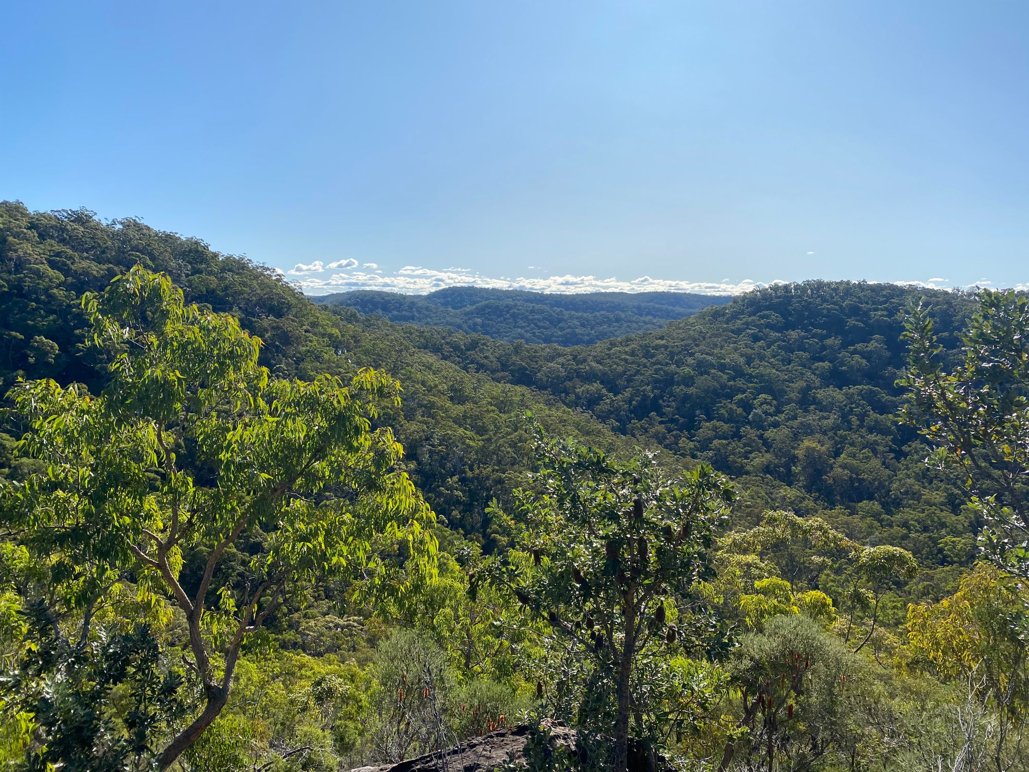
Once at the first waypoint, I head north, off the trail into thick scrub. This would be the thickest scrub I would encounter all day. I encounter a small marsupial. it scurries off quickly when it hears me. I'm unsure what it is. After a little while, the bush thins out making it easier to walk. I walk along the rock shelves that have no plants and the sandstone flats. I easily make it to the end of the ridgeline and the next waypoint. I now need to navigate over three knolls before heading east. Each of the three knolls has a small rocky outcrop on them. I climb up the first one and take in the view. I overshoot the third knoll and reach a rocky platform that has a nice view. I sit here and rest for a bit.
From here I need to navigate down off the ridge onto some flats. There's a large rock shelf to navigate down. I see a way down and scramble off the ridge.
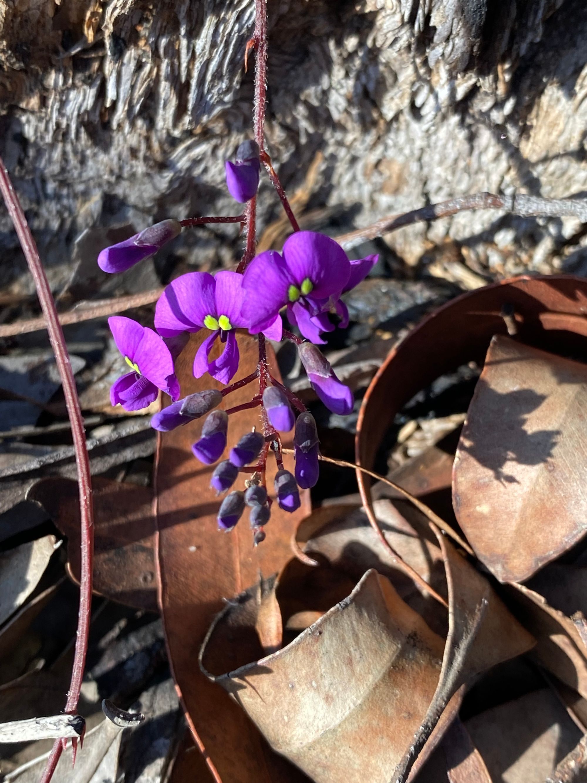
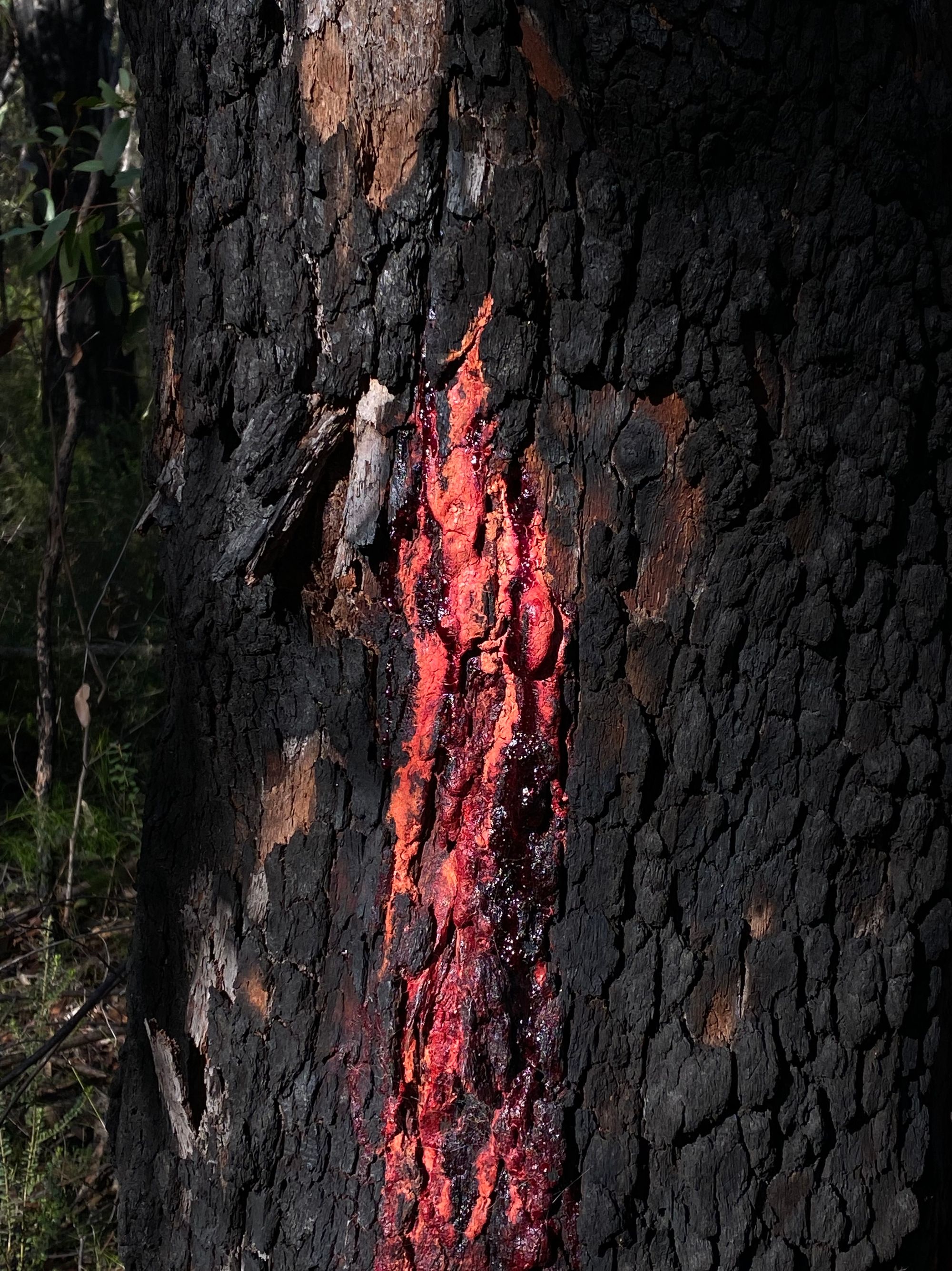
I'm met with nice grass flats which are easy to walk along. I see a rocky outcrop and decide that it's a good spot for lunch. After lunch, I investigate one of the Bloodwoods that has bright red sap where an insect has tunnelled into the tree. I then set my compass for the second last waypoint.
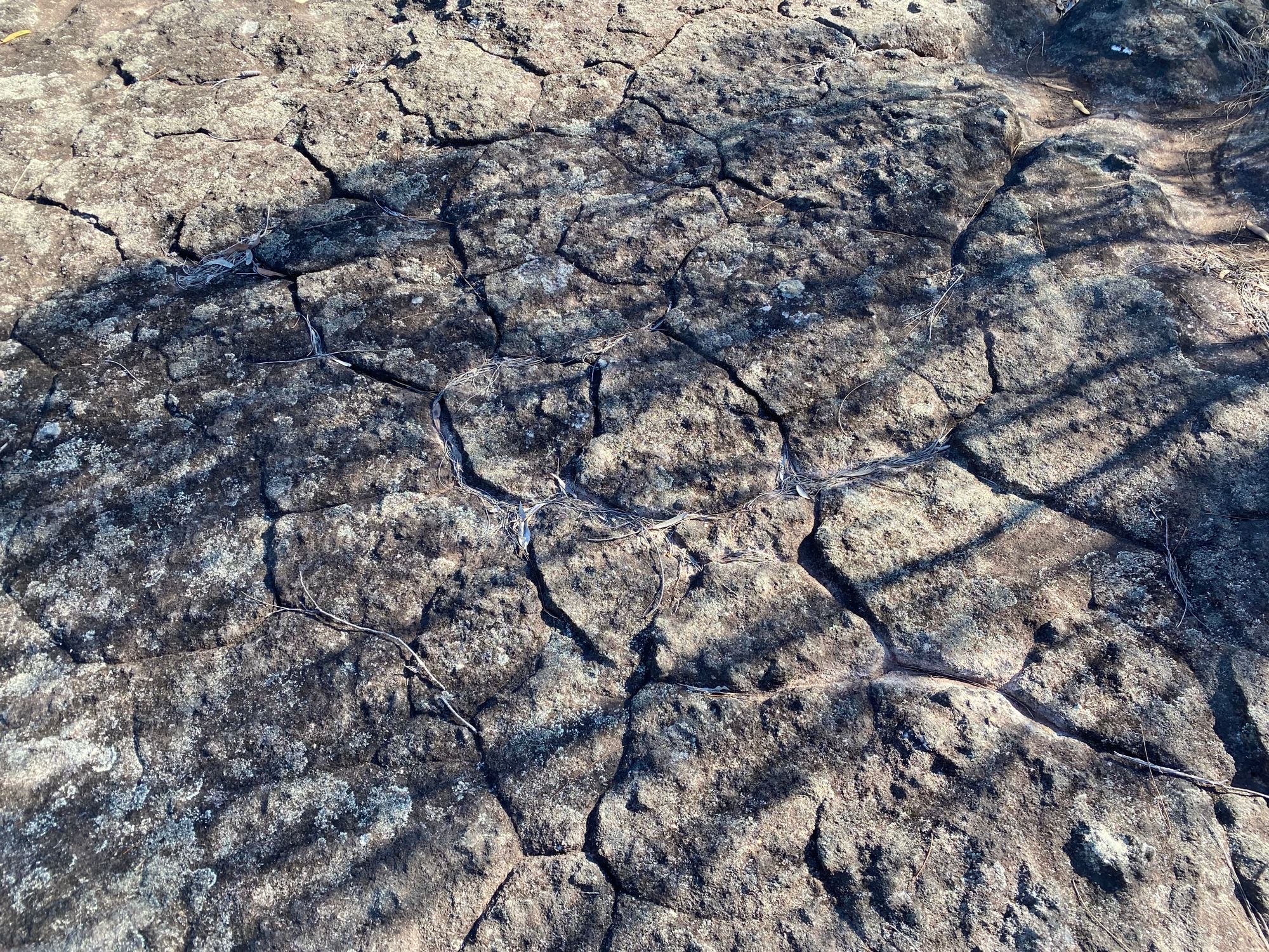
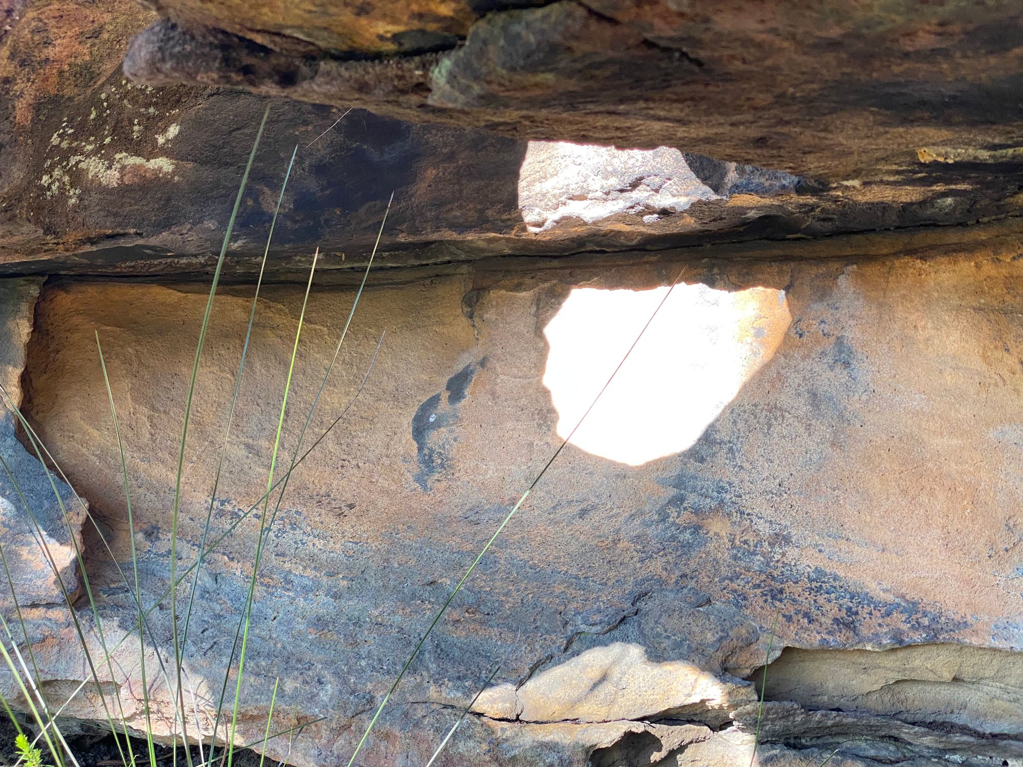
I come across a few rocky outcrops with a tessellated pattern. There are some nice rock features around here. I find a rock with sunlight beaming through a hole around here.
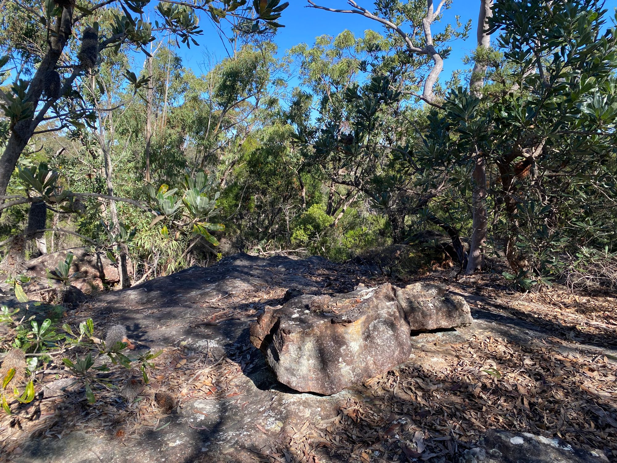
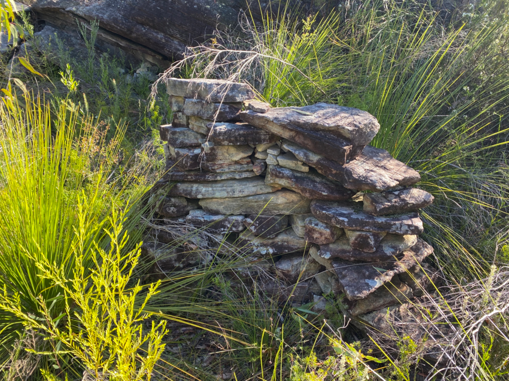
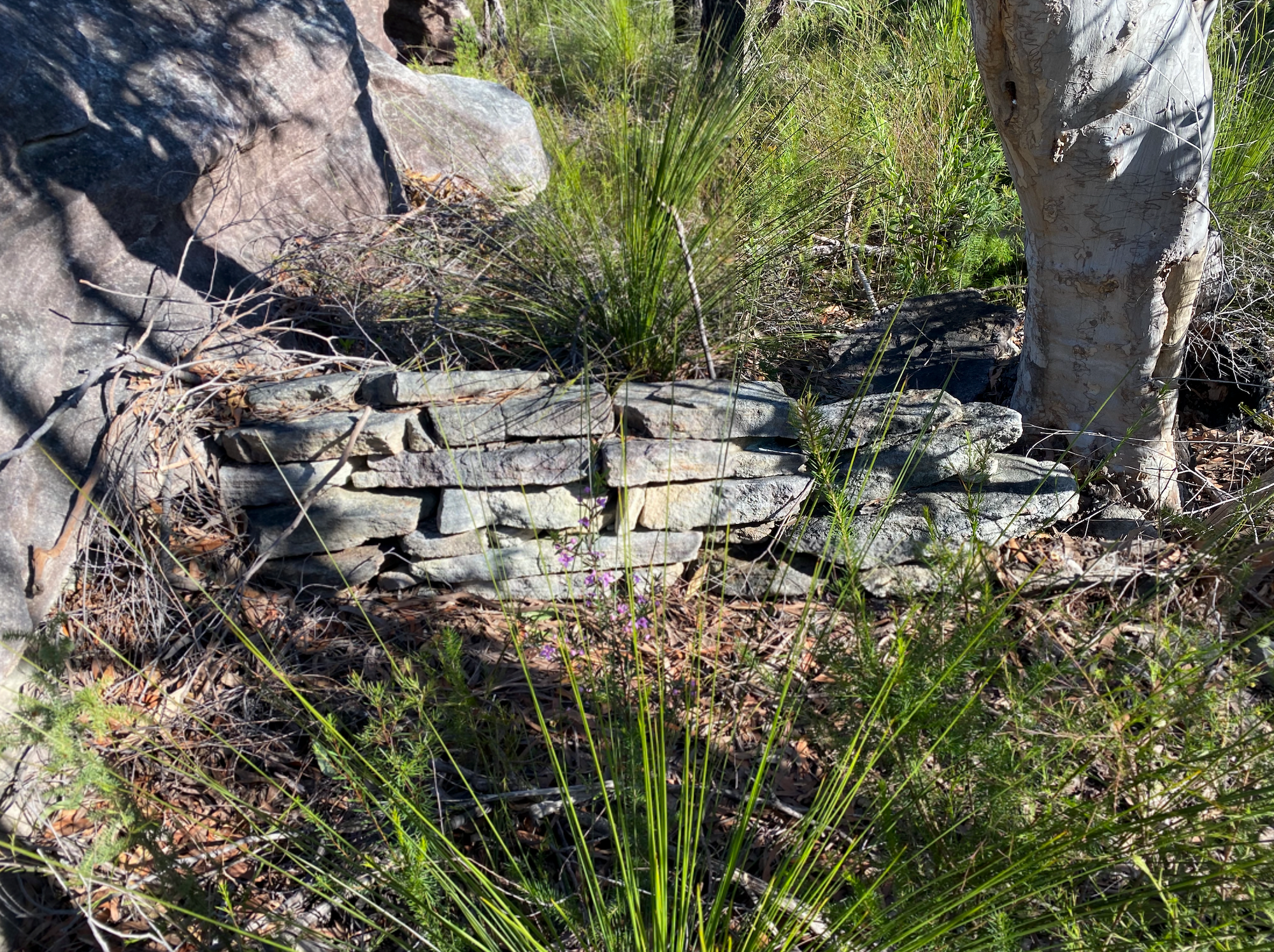
As I'm walking along, I stumble into a small stone wall. It's a pretty odd thing to see out in the bush, far away from any defined trail. It looks like it's been here for a while. I take a photo and explore the rocky outcrop it's next to. I then find a second wall. This one is a lot lower but looks to be built sturdier. I don't know why these small walls are out here. Were they shelters? I'm not sure. Best to leave them as is.
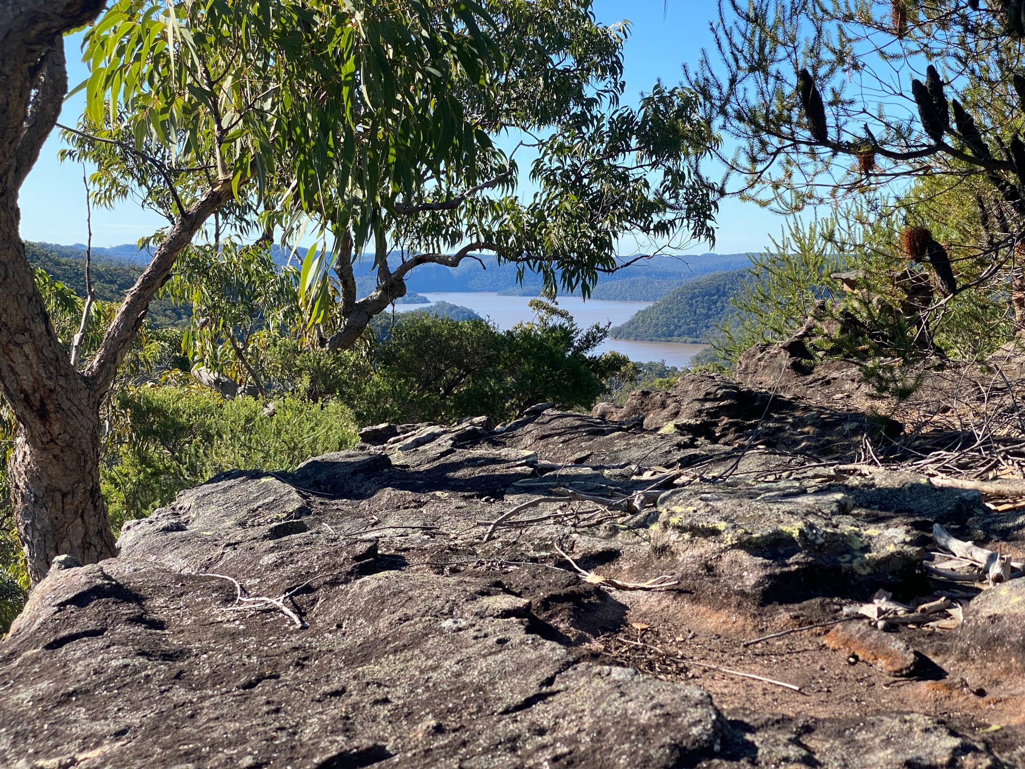
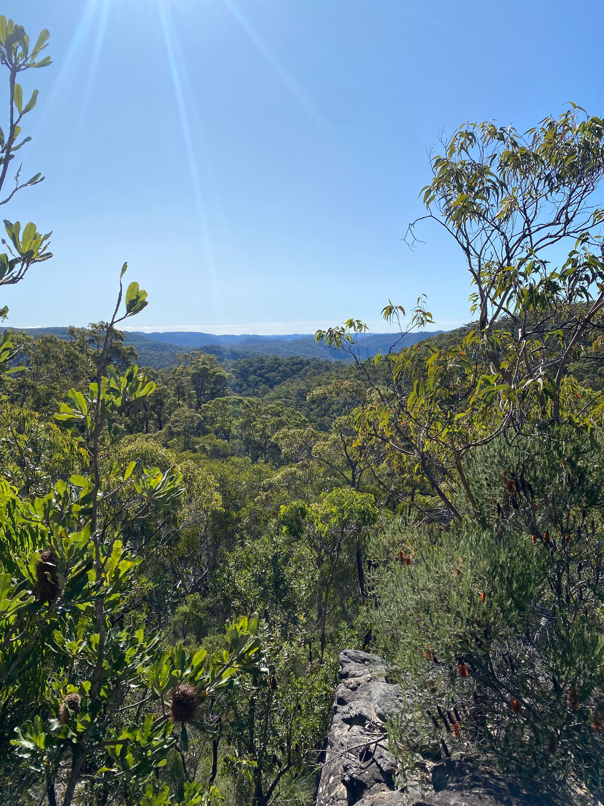
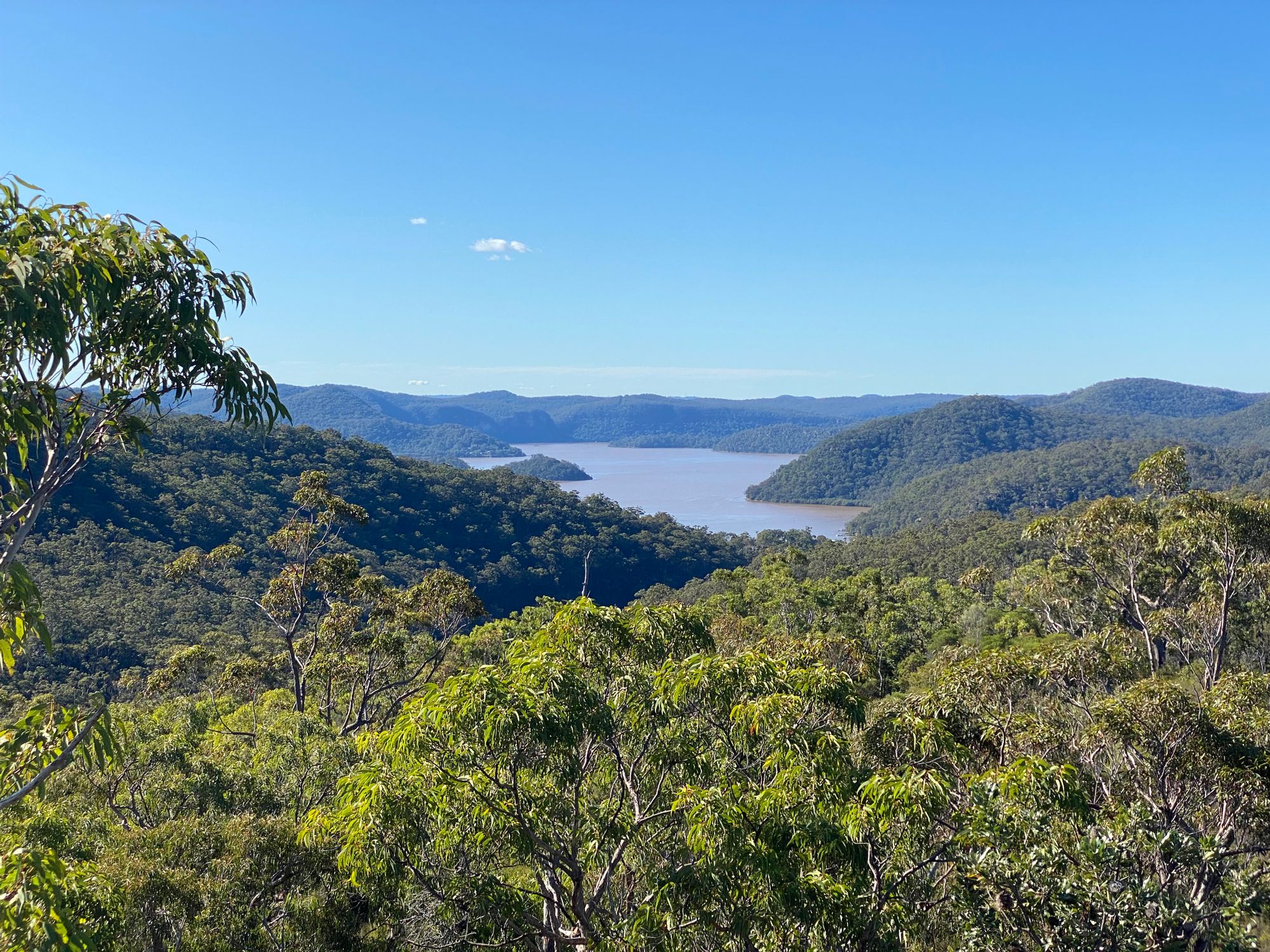
I finally get to my destination knoll and see a glimpse of water.

My last waypoint is to a rock platform that I could see on a satellite map. I navigate down and get a clear view of Hawkesbury. I instantly notice the water is brown from all the flooding. I'm pretty happy that I found a good view.
After a few snaps and some water, I start to head back. It's fairly easy to navigate back. I see my little marsupial friend again. It hops away and goes underground.