Breakfast Creek to Frying Pan Flat
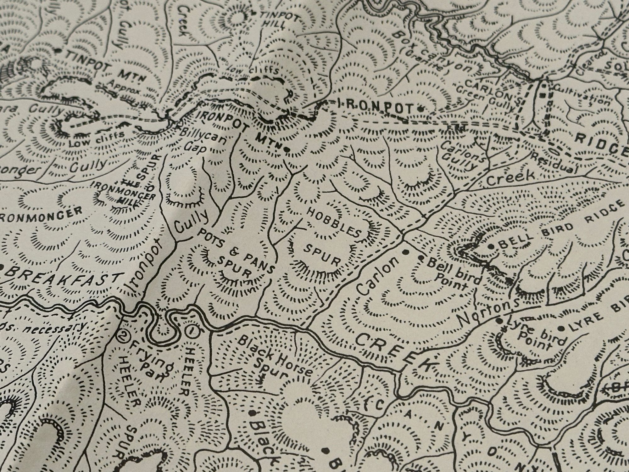
I wanted to do a walk using Myles J. Dunphy, Gangerang Wild Dog Mountains sketch map. I found a campsite named Frying Pan Campground and Heeler Campground that seemed like a good candidates.


I wanted to do a walk using Myles J. Dunphy, Gangerang Wild Dog Mountains sketch map. I found a campsite named Frying Pan Campground and Heeler Campground that seemed like a good candidates. Being an old map I had to cross reference with modern maps to confirm that these trails and campgrounds still existed. Frying Pan is still used as a campsite and is now named Frying Pan Flat. I couldn’t find any modern references to Heeler. With my research done it was time to pack the tent and head off.
Day 1
- Creeks and Challenges
The initial walk down is along the national parks marked Carlons Creek Track to Breakfast Creek. The start of the track goes down some reclaimed farmland. It’s nice, but it’s obviously old farmland and there’s lots of weeds. I spotted a feral pig on the opposite side of the gully. This is the first time I’ve seen a feral pig in a National Park.
Eventually, the track gets down to the creek and it’s quite overgrown with weeds including stinging nettles. I carefully step around them and only get stung once. It had rained the previous day and it was warm and I thought "Oh, I should check for leeches". I pulled up the legs of my pants and my shoes and socks were alive with leeches. I quickly flicked them all off and applied some insect repellent to my shoes. I periodically checked my shoes for the rest of the walk and didn’t get bitten. It's easy to flick them off before they bite you.
Because the track was wet, it was quite slippery especially with the type of rocks on this trail. I also lost the trail and started heading up the gully on an animal trail. The animal trail that I was on was quite pleasant but I clued in that I was walking too high in the gully. I backtracked and headed directly down until I hit the trail or creek.
I finally get to the end of the Carlons Creek Track and continue down the creek until I hit Breakfast Creek. With the leeches, stinging nettle, slipping on the rocks and continuously losing the track. I’m finding the initial part of the walk slightly unpleasant.
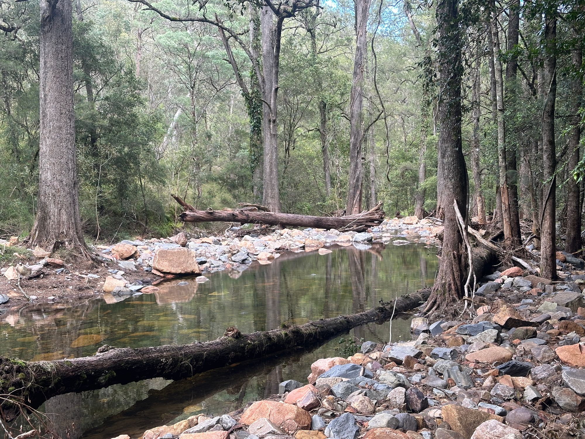
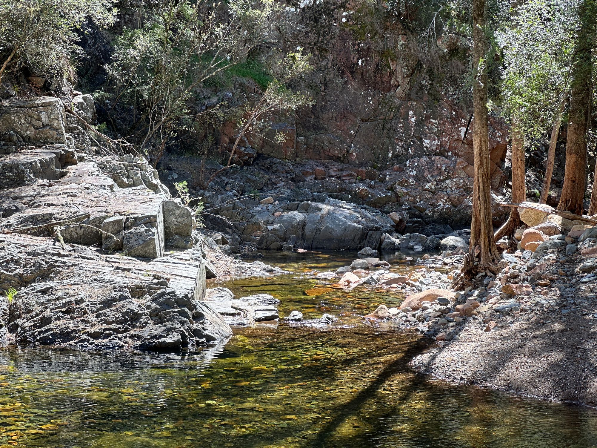
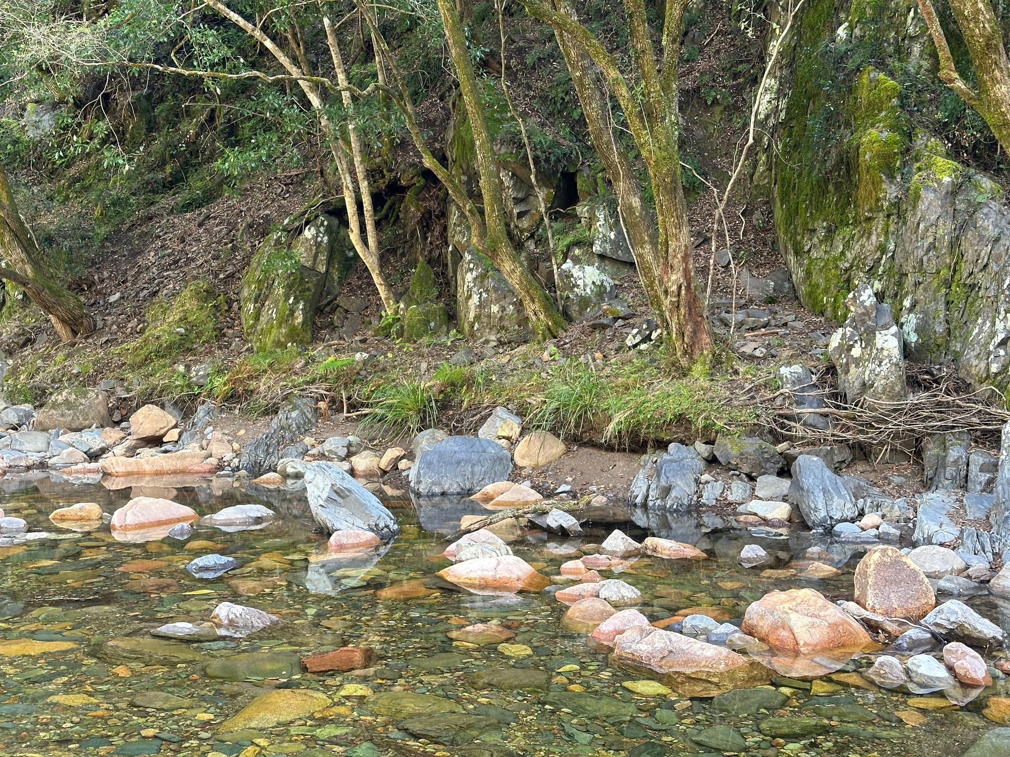
Finally, the weeds and leeches disappear and the walk becomes quite pleasant along Breakfast Creek. There is a challenge of finding where the trail is and what side of the creek I should be on but it’s extremely hard to get lost as the creek is well defined and the track hugs the creek.
I approach where Heeler Camp was shown on the sketch map. I see a flat section from the creek of where it could be. I go off track for a bit to see if I could find it, but I couldn't see any clearings.
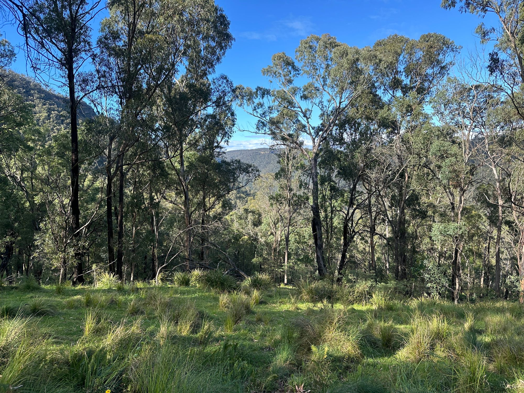
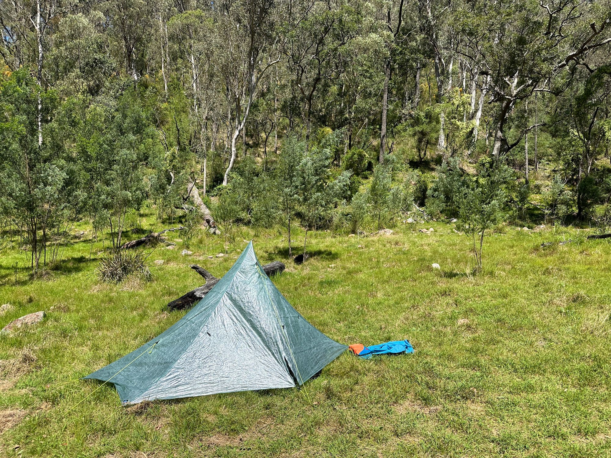
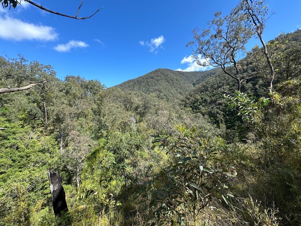
The trail rises in spots and at one section it goes over a ridge to skip a U-turn in the creek. Eventually, I reach Frying Pan Campground. The creek is beautiful and there’s plenty of spots to camp. From the camp you can see Ironmonger Hill which looks like an arduous climb. There is evidence that pigs have dug up part of the campsite and it’s a little sad.
I set up camp, have a swim and reflect on how those early bushwalkers would’ve walked down here with those old canvas A-frame tents with wooden poles. The birdlife around camp is outstanding. The only bird I could identify was a pair of wedged-tail eagles. For the rest of the day, I keep an eye on two nosey redbelly black snakes around camp.
Side note: I upgraded my tent situation from a tarp shelter to a tent with walls. So luxurious.
Day 2 - Clear Waters
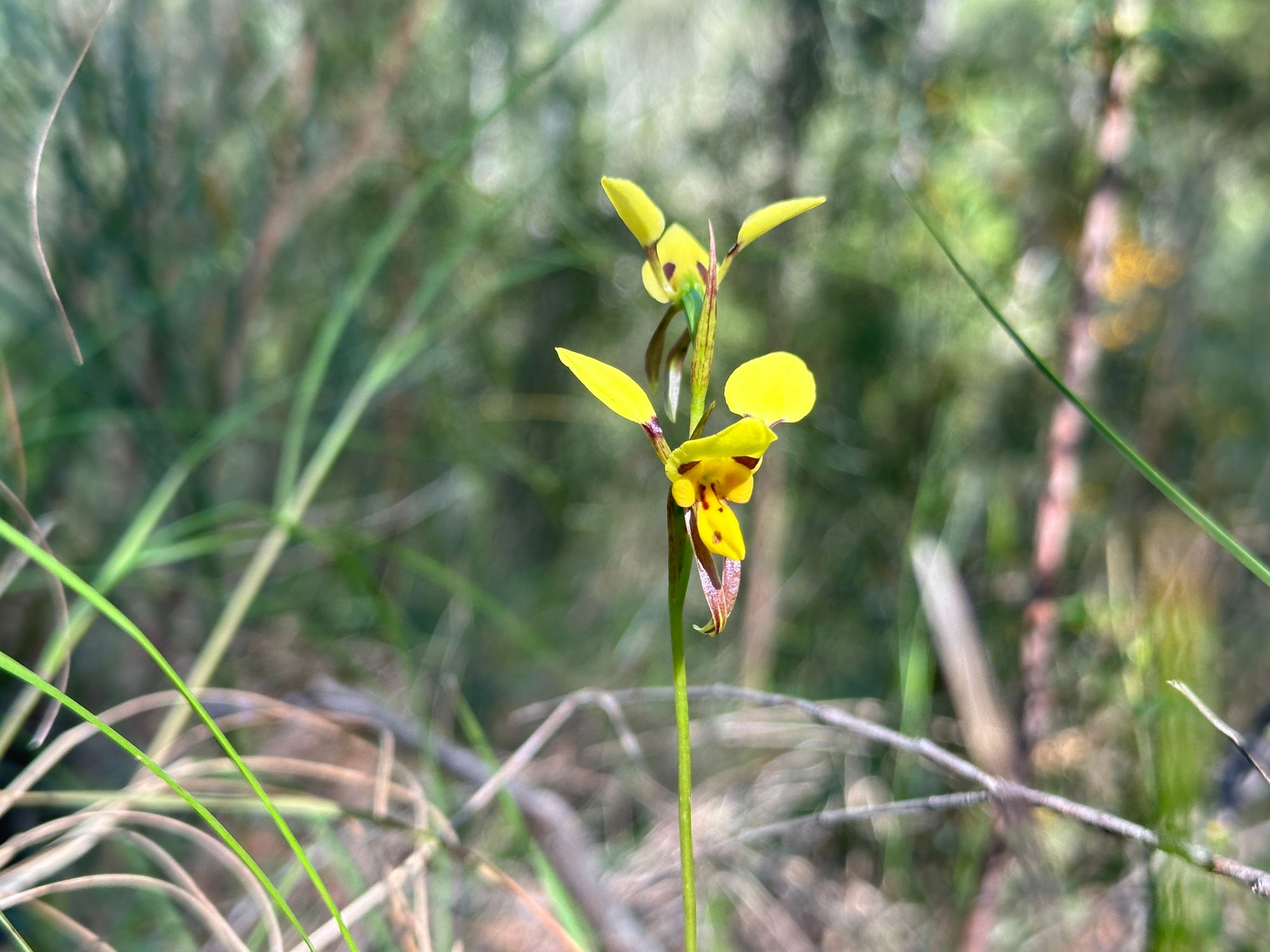
After a great sleep, I pack up camp and start the return journey to the car. Today is sunny and the trail is much more enjoyable. I take my time along Breakfast Creek and stop to look at the various flowers and views along the way.
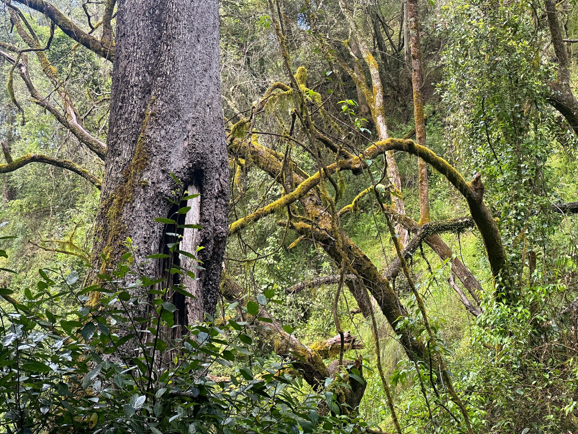
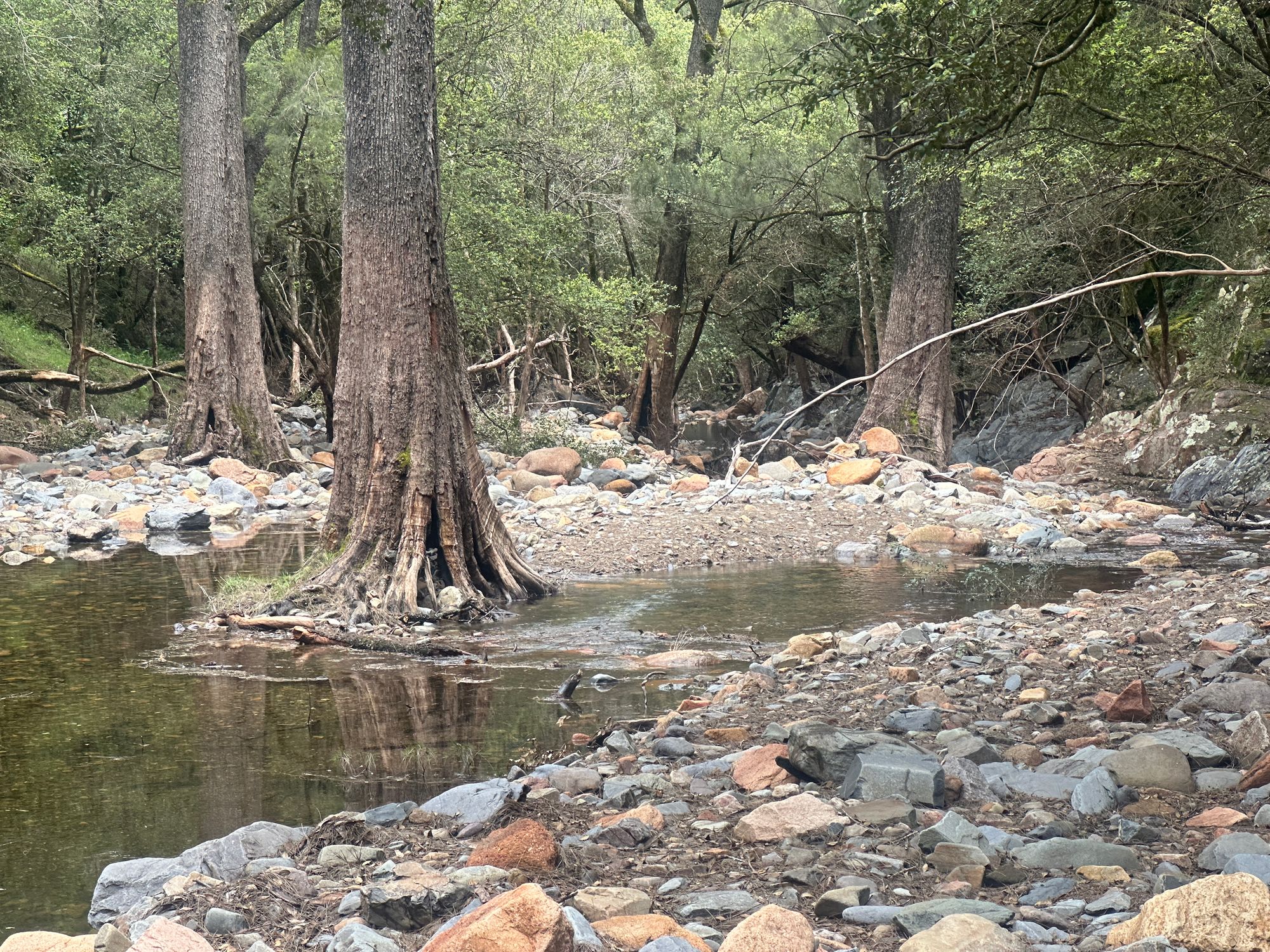
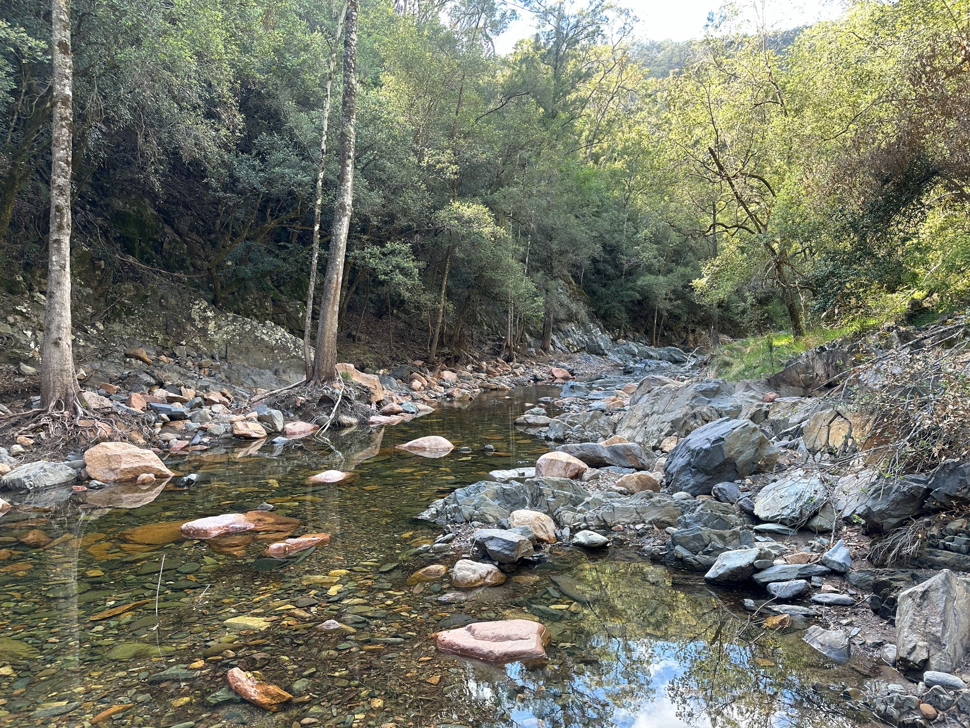
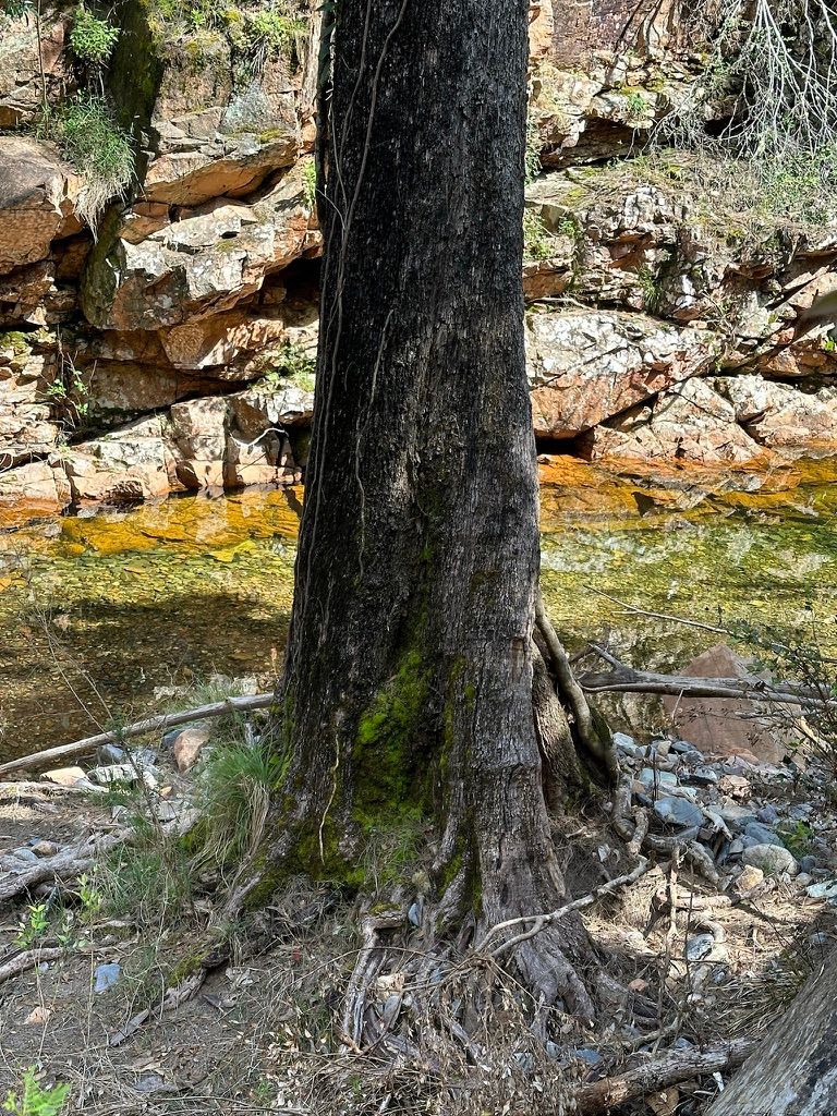
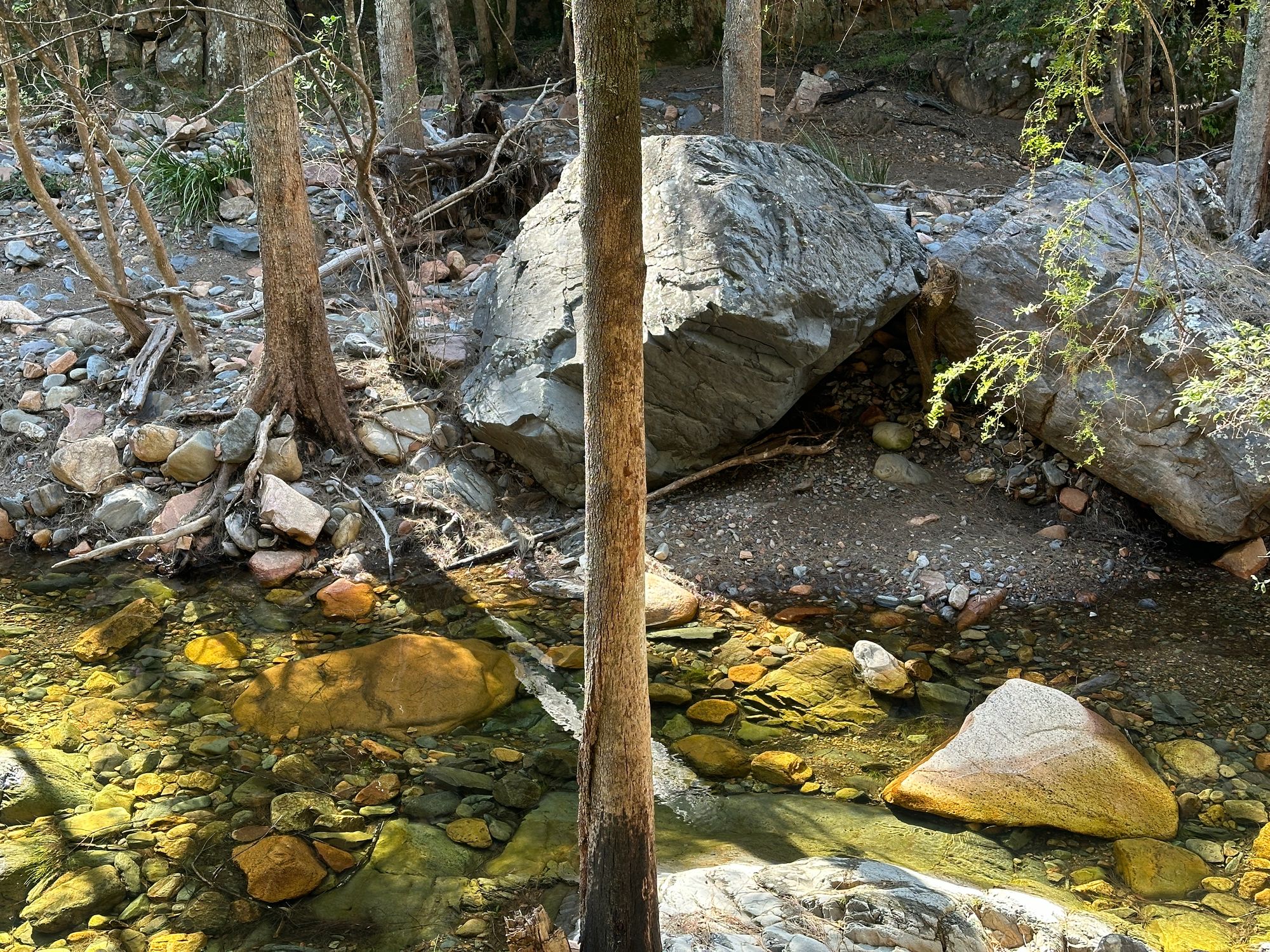
I’m unsure how I missed this on the walk-in, but I spot some very old River Sheoak with very thick bases. The water along breakfast Creek is crystal clear and you can see all the rocks along the bottom. It’s a very pleasant walk.
As I’m taking my time it’s easy to find the trail that was originally on Miles Dunpheys sketch map. Parts of it hard to find due to tree fall or animal trails. I take my time and find the trail, never needing to walk along the creeks, like yesterday, only cross them.
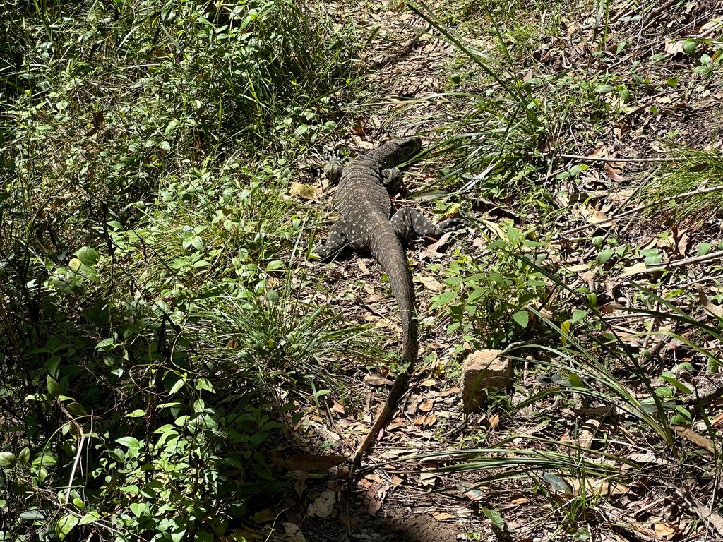
There is one section on the track where a lace monitor decides to walk along the trail just ahead of me. It does so for a while. Then it decided to play dead and I’m unable to pass. I lightly tap the end of its tail with a twig to give it some encouragement to move to the side. Unfazed by the light taps I decided to dart around it. Lace monitors are known to crawl up you like a tree. Something I didn’t want to experience.
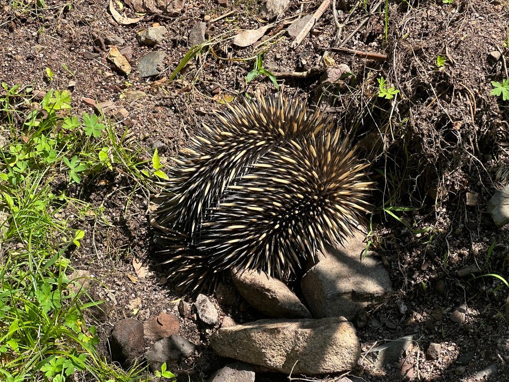
A little disappointed, I get to the start of Carlons Creek Track. Same as yesterday there are heaps of leeches and plenty of stinging nettles. After a bit of a slug up the hill, I get back to my car. I do spot some more lace monitors and two Echidnas along the way back.