A walk along Rams Head Range
I’ve planned to go for an off-trail bushwalk along the Rams Head Range.

I'm down in Kosciuszko National Park for the Easter long weekend. I'm staying in Thredbo Village. I’ve planned to go for an off-trail bushwalk along the Rams Head Range.
I start my initial walk by taking the Kosciuszko Express chairlift up to the Kosciuszko walking track. The views from the chairlift are pretty good. Once off the chair lift, I'm greeted by the crowds heading up to the Kosciuszko summit. Because it's Easter, there's a massive crowd. So I get in line and start walking up along the Kosciuszko walking track with the crowd.
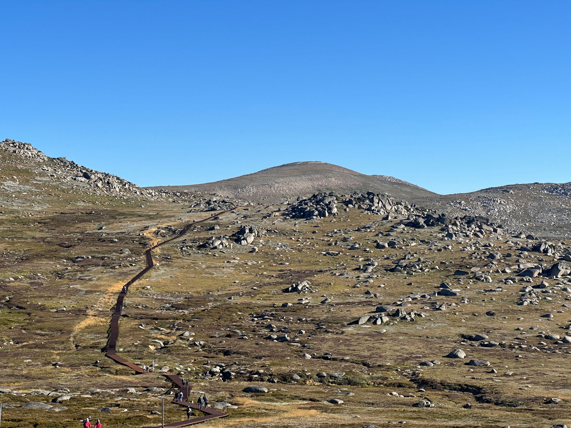
I reach the Kosciuszko View Lookout, and this is where I plan to head southwest off the trail and head towards Rams Head. I first gauge the best way to walk up the first Ridge. I see a grassy access and aim for that. Once I get over the first steep ridge, I get my first glimpse at Rams head north. I walk right up to the base of it and skirt around to the north side. I look at trying to summit it but decide not to as it requires rock climbing.
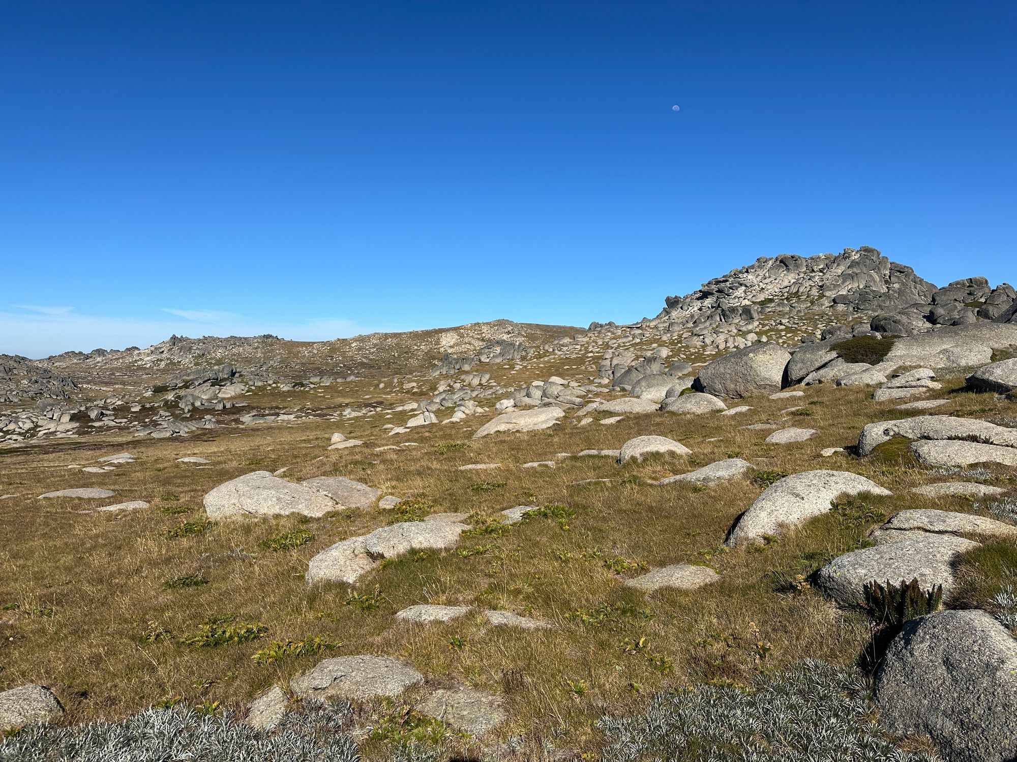
From Ram's Head North, I start to look at the Ram's Head Range and Ram's Head Mountain and how I intend to climb it. I head towards the northern part of the ridge, towards Cootapatamba Hut. It seems to be the easiest way to get onto the range. Also, I’d like to get a glimpse of Cootapatamba Hut.
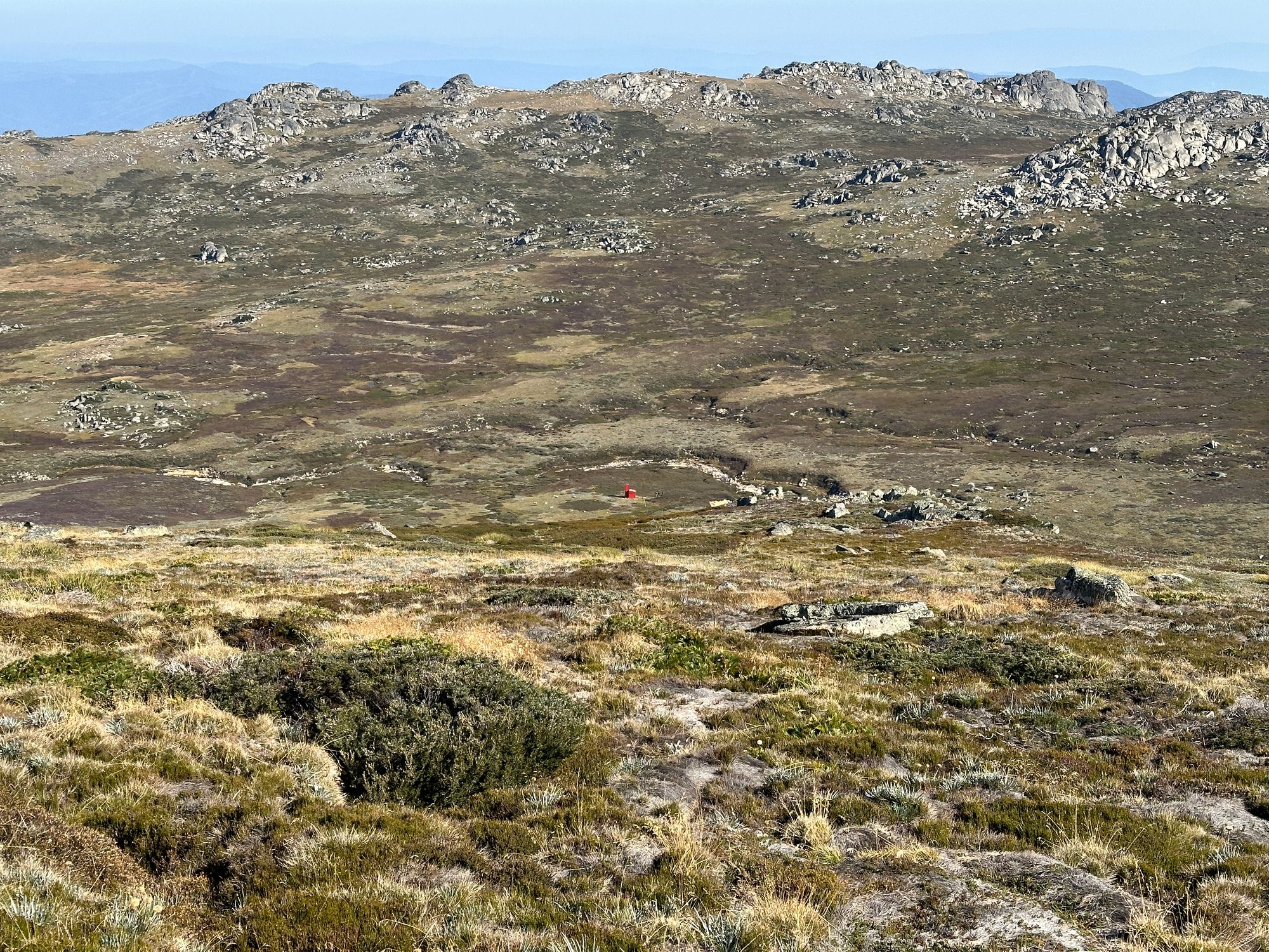
I make my way up to the northmost end of the range and the views from this ridge are absolutely spectacular. I can't see the hut. So I descend the ridge following my compass bearing for the hut and see if I can start to see it. I descend quite a bit down the ridge, and then I get my first glimpse of Cootapatamba hut. It's so tiny in the middle of nowhere. It's bright red. This hut is still in use and is used for walkers or skiers who descend the south side of Mount Kosciuszko and end up in this wilderness by mistake. There's a ladder on the outside so you can climb into the hut via the chimney if the door is blocked by snow.
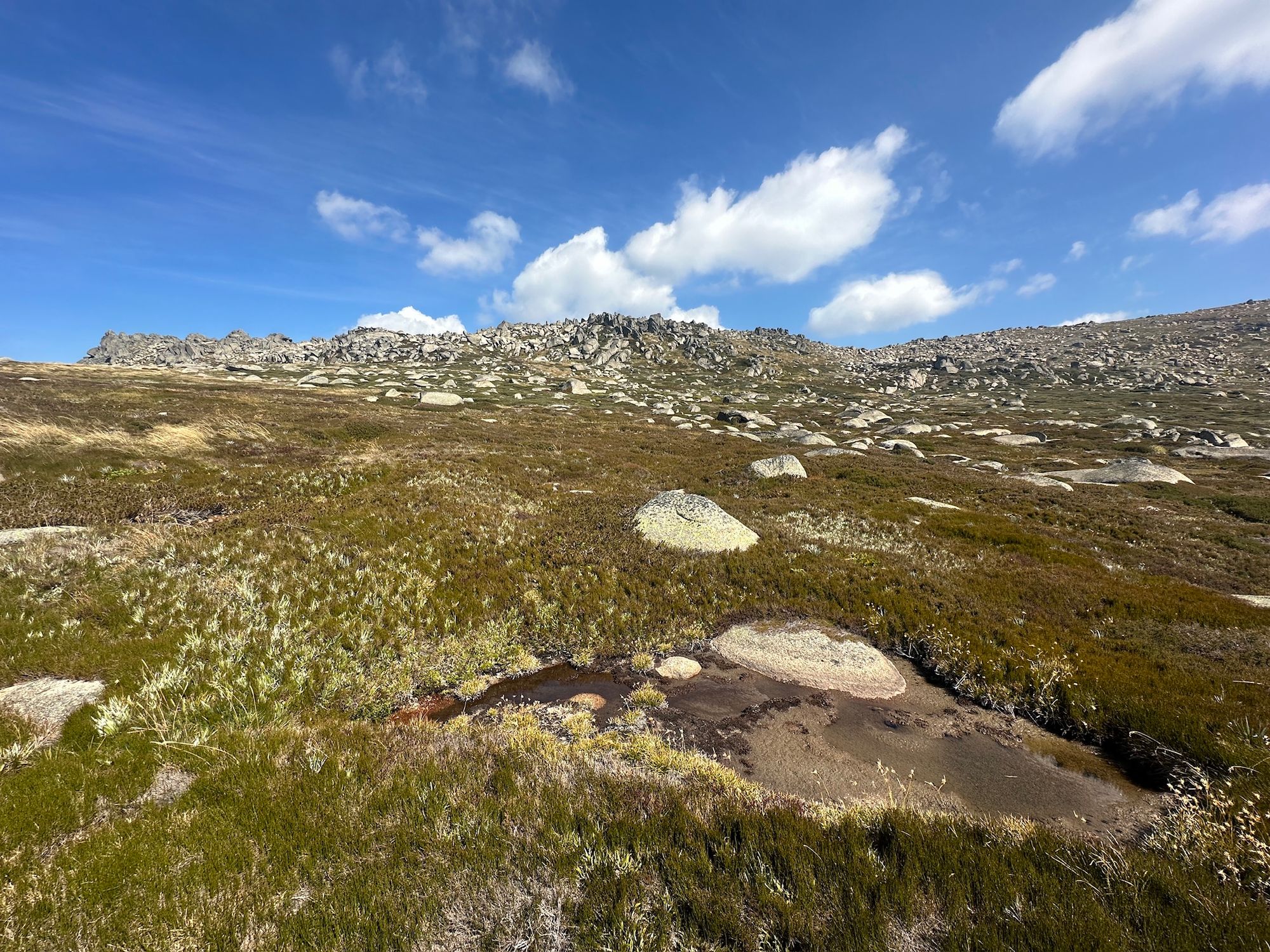
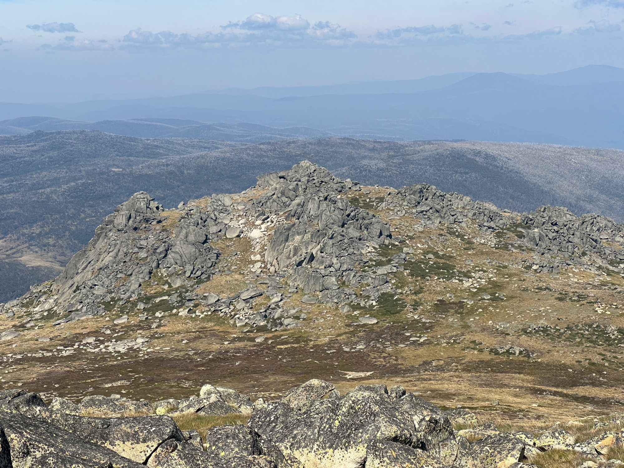
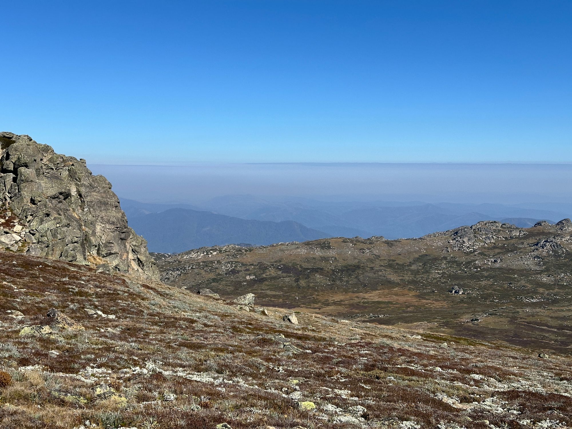
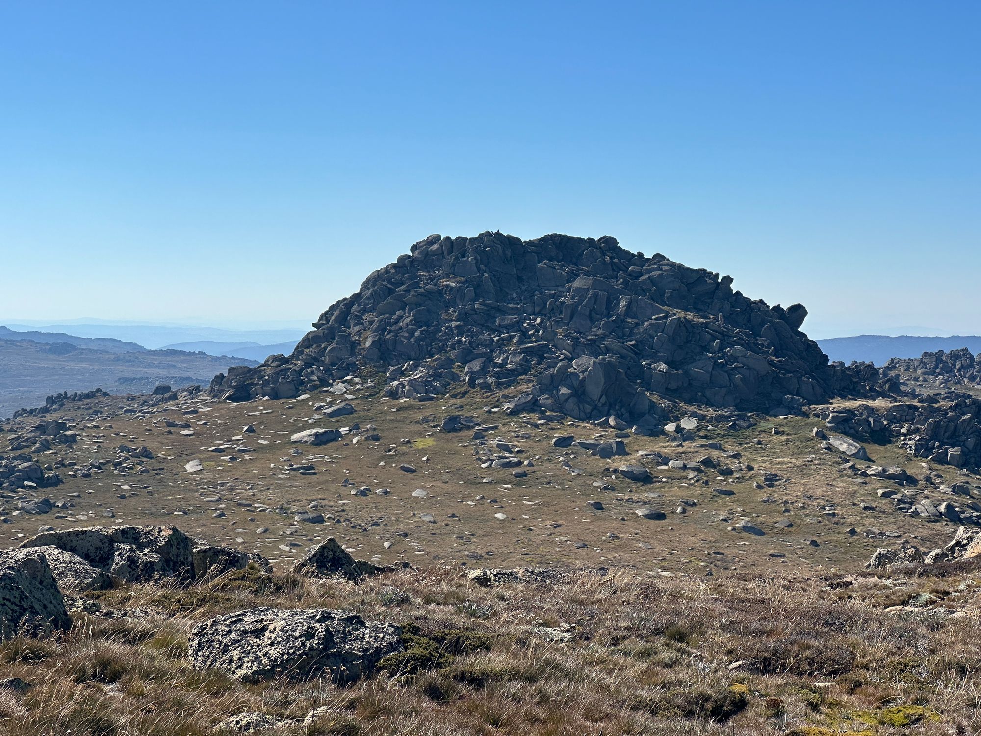
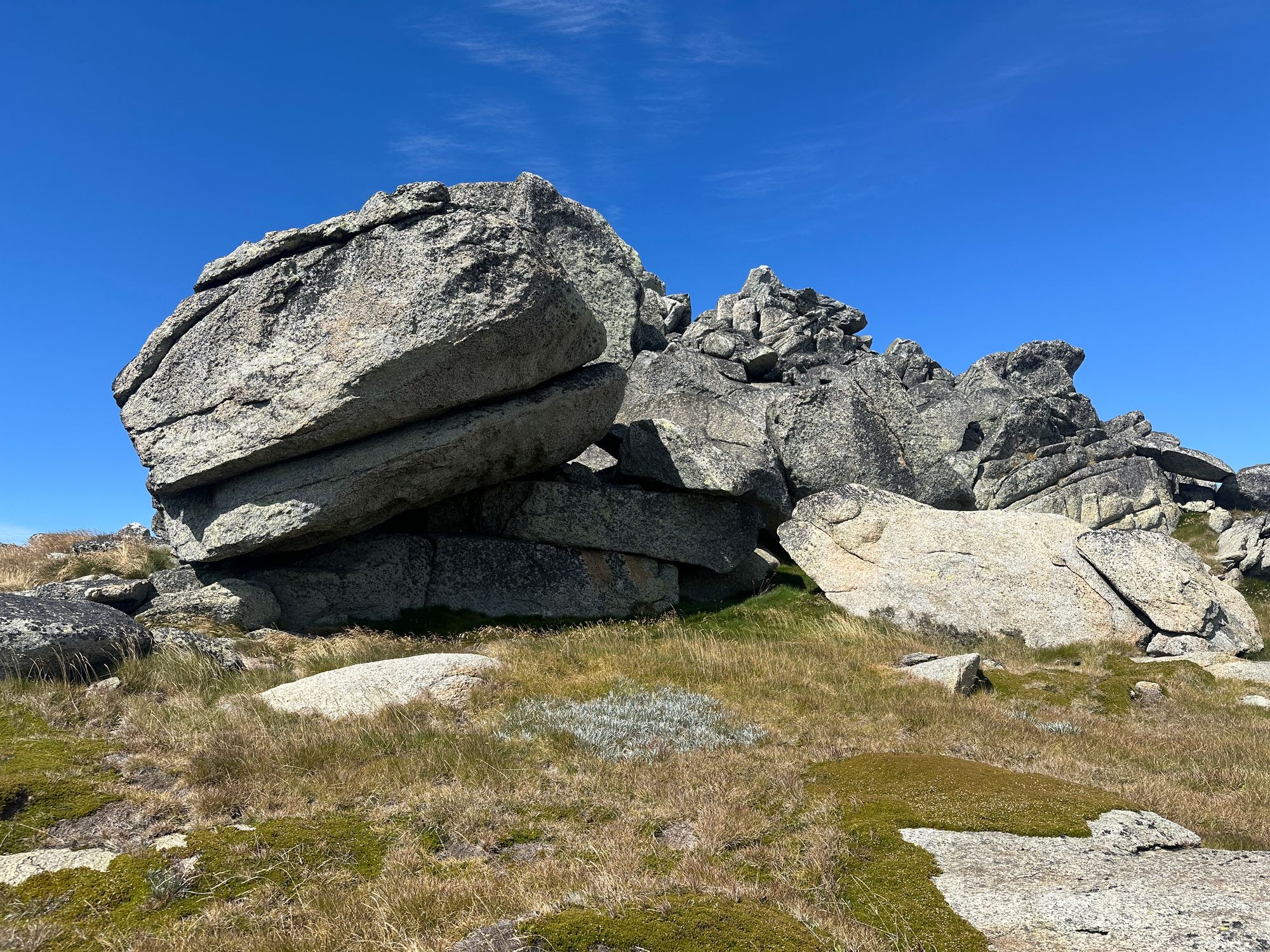
After I see the hut, I walk back up to the ridge and continue along the spur onto the Rams head range. You can see all the way down into Victoria. It's quite beautiful. I slowly walk up to the first peak (2,152m) on the Ram's Head Ridge, and the views are spectacular. Along the top of the ridge, there are remnants of a chairlift that used to be here. Throughout the day, I see many of these scattered around the landscape. I try to find a survey marker or something for the first ridge, but I can't seem to locate anything. I then head to the second peak (2,183m) along the ridge, and it's a fairly easy walk. At this peak, there's a rocky outcrop, and I climb to the top, again, trying to find a survey mark or anything, but I can't find anything. From up here, the views are spectacular. 360 degrees unobstructed. You can see Mount Kosciuszko easily. You can also see Lake Cootapatamba directly south of Mount Kosciuszko.
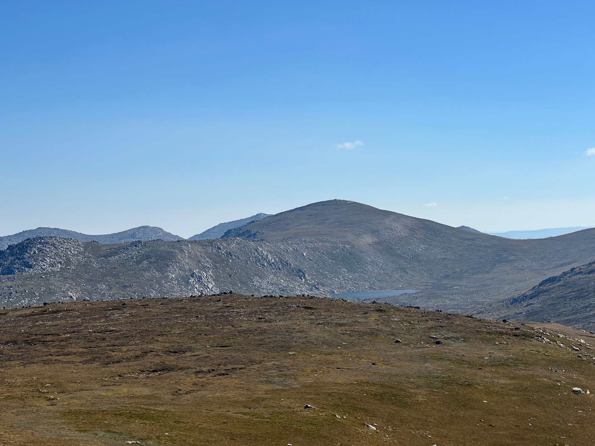
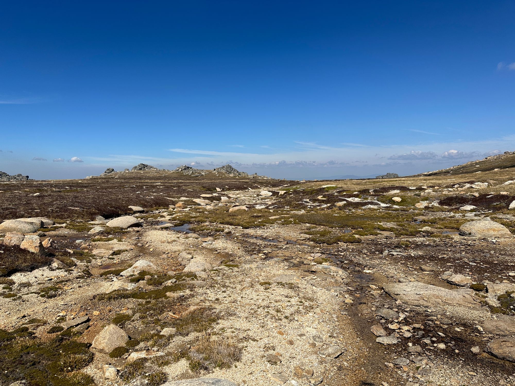
The landscape is barren, there are no trees, and there are rocky outcrops everywhere. There's the odd piece of metal from the abandoned chairlift from a bygone era. After a while, I plan my route to ascend to Rams Head Mountain. It has an elevation of 2,190 metres. It's the fourth tallest mountain on the Australian continent. Only 38 meters under Mount Kosciuszko.

To get over to the base of the mountain from the 2,183m peak, I walk down along the saddle between the two peaks. To get up to the summit of Rams Head Mountain, I ascend the east side along a small, narrow part where there's grass, With my well-planned route, climbing the mountain is very easy.
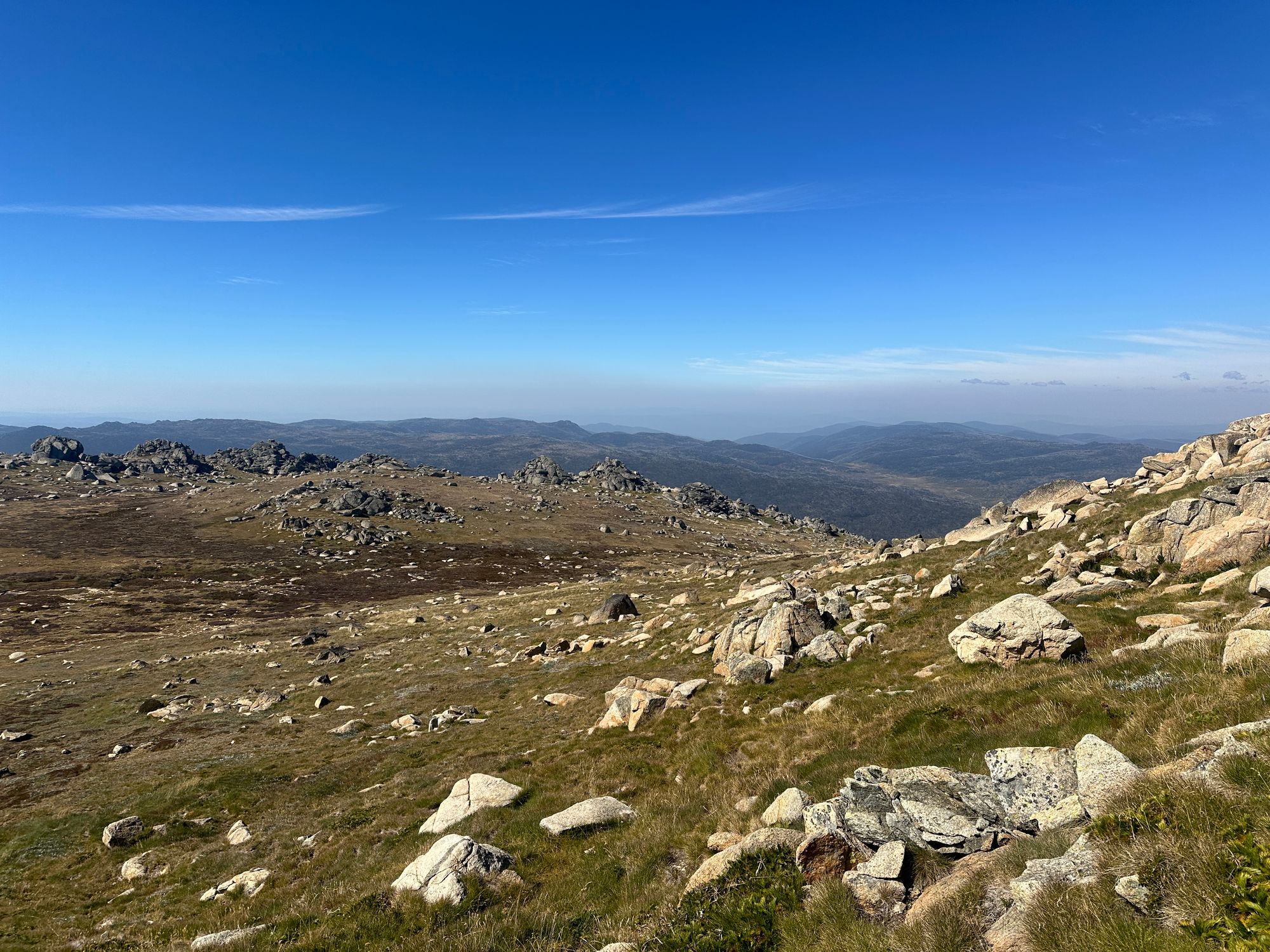
The views up here are just spectacular. You also get a view of South Rams Head. Which does look quite far away. There is a trig station of sorts up here. It doesn't look like an official survey marker, but it's a few scraps of metal supported by some big rocks. I found what I think is the TS60-SMA-0134 marker, which is a bolt glued into the rock.
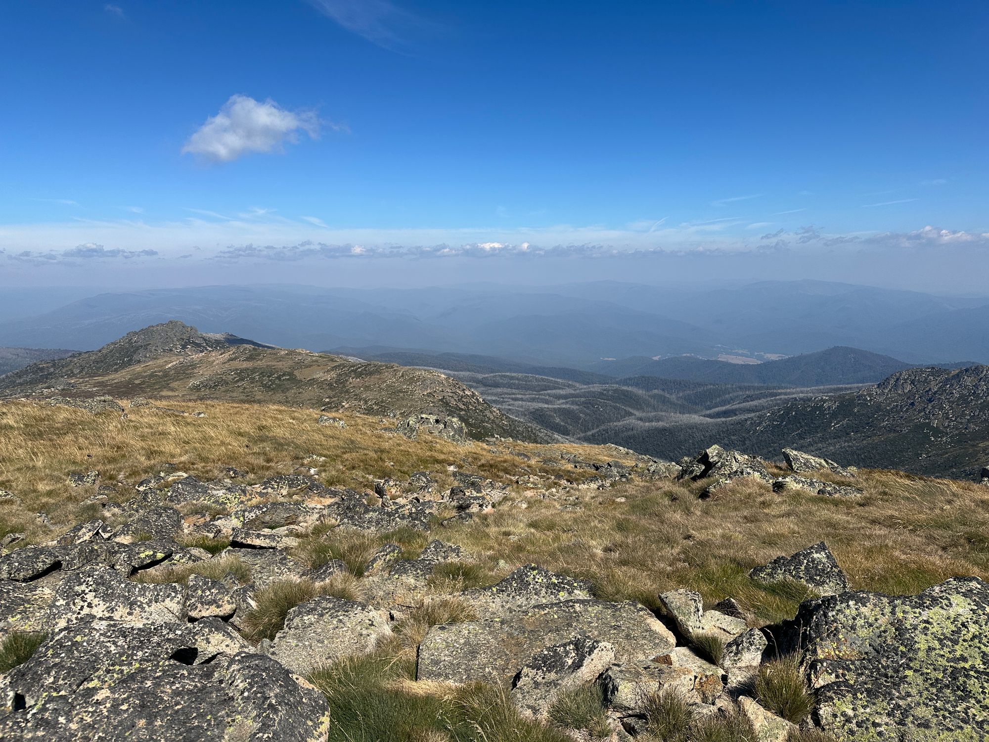
I walk to the western side of the summit, and you can just see the Cootapatamba hut. Because it's bright red, it's easy to spot, but it's very, very tiny. After taking a few photos and soaking in the views, I plan my route back to Thredbo. I decided not to walk down to South Rams Head as I didn't have enough time left in the day. From Ram's Head, I aim to go towards the Easterly side of Rams Head North and back to Mount Kosciuszko Walk. I set a bearing on my compass and descended the mountain. Heading this way is a little bit more challenging as there are more rocky outcrops and creeks to navigate around. It's not too challenging, but it's more tricky to navigate accurately with so many rocky outcrops. I trust my compass bearing and head that way.

As I'm walking along, I see a flock of a hundred ravens, Maybe 200 ravens. When I get to the base of one of the gullies, I cross Merritts Creek. Which in parts is dry and trickling in other parts.
I don't know how anything could live in this environment up here. It's a very harsh environment, except for today. I've been up on the main range in snow, freezing rain and wind. But today the weather is absolutely perfect. I could have worn shorts with my shirt but didn't pack any assuming the mountains would throw some harsh weather at me.
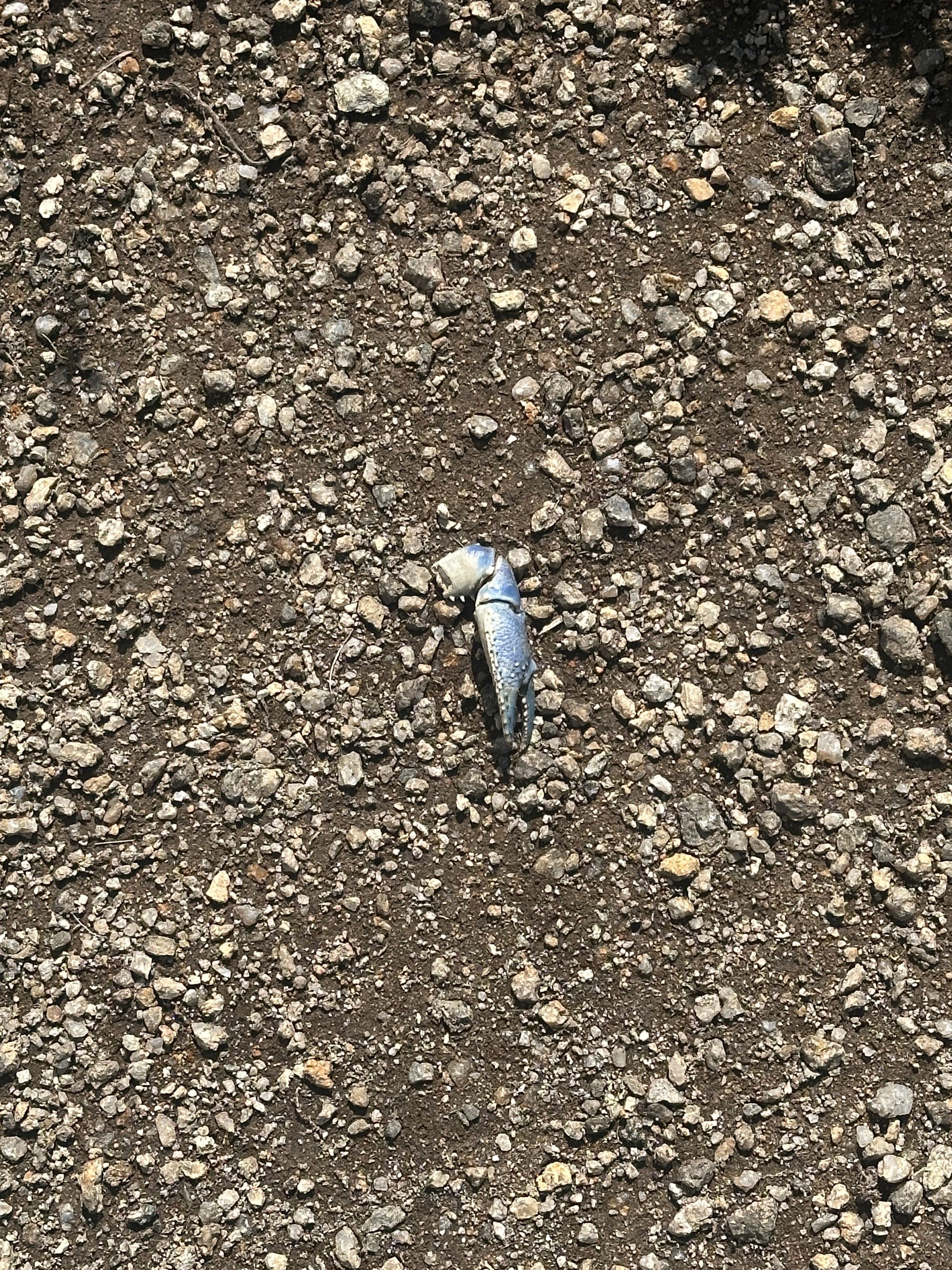
I find a blue yabby claw on the bottom of one of the creek beds. A very bizarre discovery. I later find out that the ravens catch these in the rivers below the snowline, and they bring them up here to eat.
From Merritts Creek, I head over another ridge and down another gully until I'm on the Eastern side of Rams Head North. From here, I only need to go over the first ridge I crossed, and then I'll be able to see the metal walkway up to Mount Kosciuszko.

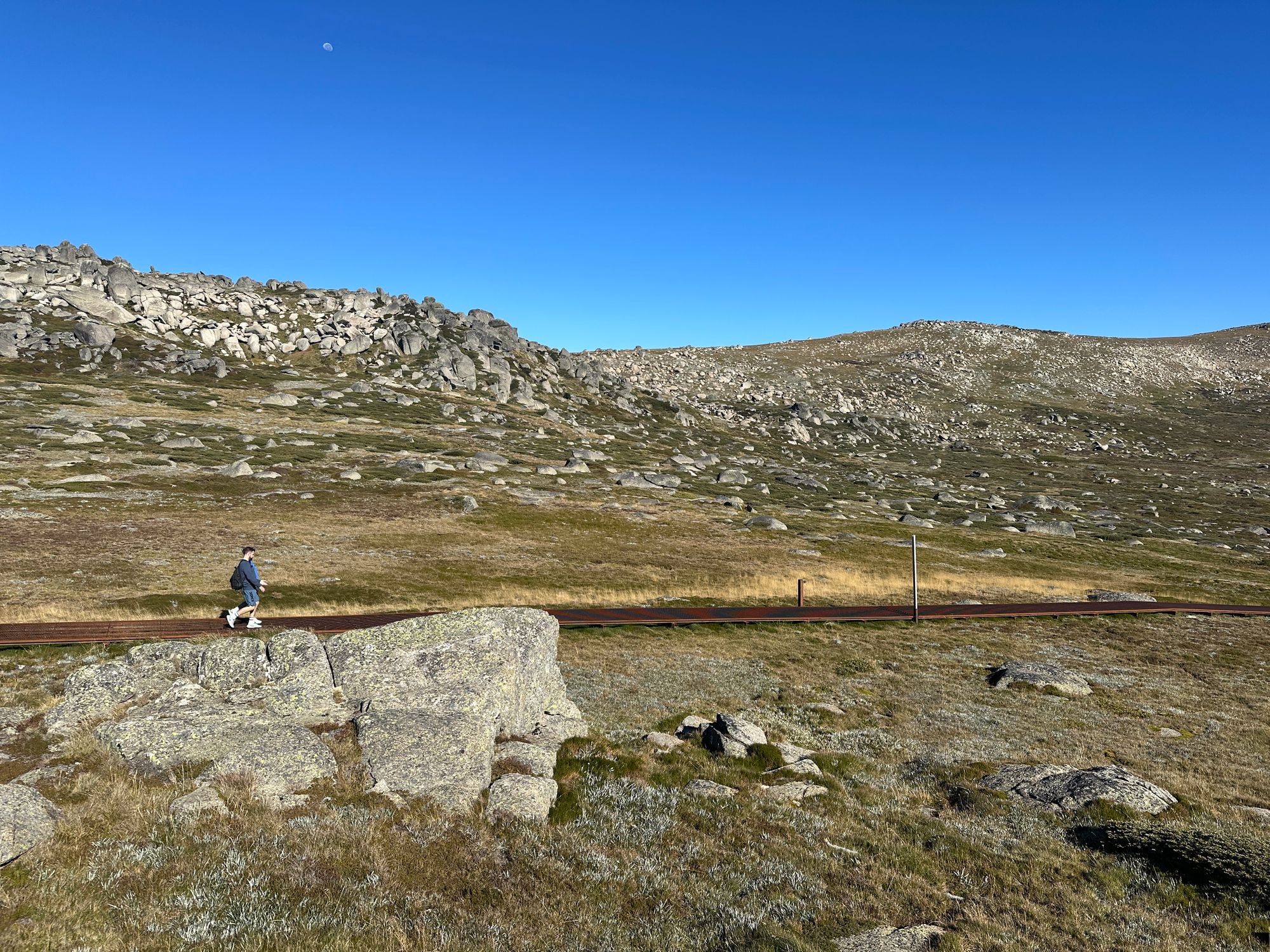
I've overshot my return to the metal walkway, and I've encountered a bit of a steeper descent from the original walk-in. I encounter some issues with my GPS, so I can't see where I have walked previously. I want to use the same safe route back to the steel walkway, but I can't see it in my GPS. So I set my compass to a bearing for the shortest path. This means that my descent is a little slower than normal. So I zigzag down this ridge to try and avoid the steep parts and the sheer rock faces. I eventually get to the steel pathway. The only real issue for the whole day. I have a drink of water, pack my compass away, and then head my way down the Kosciuszko walk to the Kosciuszko Express chairlift and descend back down into Thredbo.